Parking
Use the Pine Springs Trailhead parking area for the full-loop distance. The visitor center is a separate access point and adds walking.
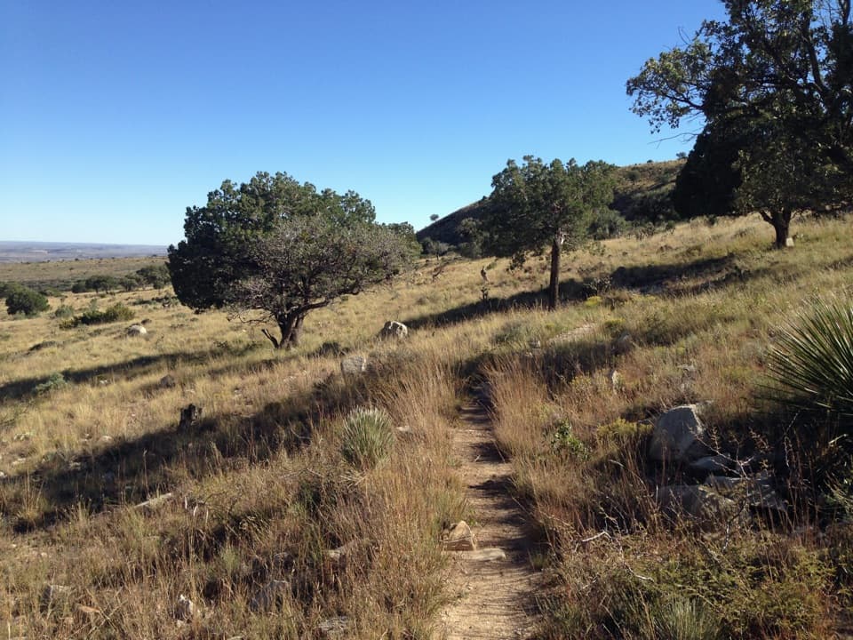
Guadalupe Mountains National Park, TX
A long, open loop to the Salt Basin’s wide western views.
Overview
Map & elevation
Plan your hike

The highest, rockiest slopes around here are a summer buffet for grizzly bears.
Guadalupe Mountains Tour Guide
Parkwolf is a GPS audio tour guide for Guadalupe Mountains National Park. As you drive, it chimes in with what’s ahead: hidden gems, upcoming stops, history, geology, and wildlife, right through your car’s speakers.
Recorded for this area
Pine Springs: The Guadalupe Peak Climb“You're nearing Pine Springs Trailhead, where the climb to Guadalupe Peak begins.”
Plays on the road 0.2 mi from the trailhead in the Parkwolf Guadalupe Mountains Tour Guide.
More stories near here in the app
“Fantastic app with many points of information… It’s great to just turn on while you’re driving and it gives you an audio tour of the national Park. We love it!!!!”


Trail guide
Salt Basin Overlook Trail is an 11.3-mile lollipop loop from Pine Springs Trailhead: follow El Capitan Trail to the east junction, take the Salt Basin section between its two junctions, then return to Pine Springs on El Capitan Trail. The often-quoted 3.6 miles is only the Salt Basin link, not the full hike from the parking area. Allow about eight hours. One group reported 11.5 miles in just under eight hours, and this route has enough climbing and exposure to feel like a hard day. Use a detailed topographic map; the park treats the backcountry as wilderness and expects you to plan your own route. Most of the walk is open, so plan your water and meal before leaving Pine Springs.
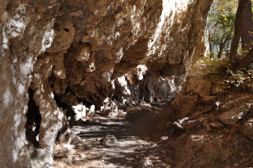
The first stretch follows the base of El Capitan and the west side of the escarpment. It winds through grassy, brushy foothills and crosses shallow ravines draining away from the mountains. The trail gains a ridge of fossil-rich limestone, where El Capitan comes into clearer view, then drops toward Guadalupe Canyon. It's a long approach before the overlook, and the landmark can make the distance feel deceptively close. The east and west El Capitan junctions are the two ends of the Salt Basin link; keep that middle segment distinct from the longer Pine Springs loop.
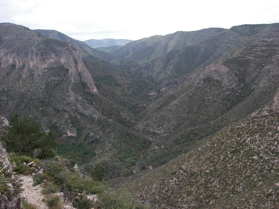
At the east junction, the Salt Basin Trail drops south through Guadalupe Canyon, bends around the tops of mesa-like cliffs, and climbs steeply to rejoin El Capitan Trail at the west junction. The route rolls up and down instead of saving all its climbing for one ascent. One ridge section runs high above U.S. 62/180 with a pronounced drop below it; if heights bother you, take your time there. A hiker who completed the full loop found the climbs tougher than expected, especially over a long, sunlit day.
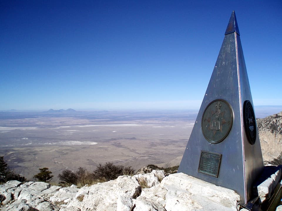
Salt Basin Overlook opens west toward the salt flats beyond the Patterson Hills and the park boundary. Look northwest for the smaller white gypsum dune field; turn back toward the escarpment to see pines spilling over the ridge above El Capitan. The view is about the contrast between the high limestone wall and the broad, low basin. For a photo, keep a slice of the escarpment in the frame with the salt flats, and include the dunes to the northwest when they're visible.
The pale limestone here belongs to the Capitan Reef, which grew along the edge of the Permian Delaware Sea roughly 273 to 260 million years ago. The reef was built largely by algae, microbes, sponges, and other small organisms, not by the coral framework familiar from modern reefs. Fossils can be visible in the limestone on the approach ridge. Leave them where they are; the park asks visitors to take pictures instead of collecting pieces of this ancient reef.
Use the Pine Springs Trailhead parking area for the full-loop distance; the visitor center is a separate access point and adds walking. No food or water stop is listed along the loop, so bring what you'll need for the day. Pets are prohibited on park trails, including this one. The trail returns to the same Pine Springs access, but the overlapping El Capitan approach makes the full line longer than the Salt Basin section alone.
Wildlife
 33 sightingsAoudadMost seen around 6 AMSighting map
 163 sightingsMule DeerMost seen around 6 AMSighting map
 11 sightingsWild TurkeyMost seen around 7 AMSighting map
 34 sightingsCollared PeccaryMost seen around 7 AMSighting map
 39 sightingsDiamondback RattlesnakeMost seen around 6 PMSighting map
 43 sightingsBlack-tailed RattlesnakeMost seen around 7 PMSighting map
Sighting maps show where each species has been reported across Guadalupe Mountains. Wildlife moves, so no sighting is guaranteed.
Keep exploring
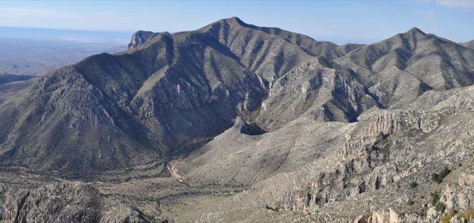 ChallengingHunter Peak Loop8.7 mi · 7 hr · At the trailheadBear Canyon up, Tejas down, and a summit over the desert.
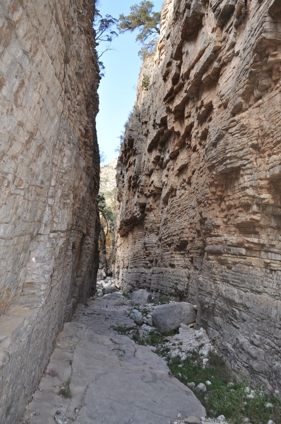 ChallengingDevil's Hall Trail4.2 mi · 4 hr · At the trailheadBoulder scrambling leads to a natural staircase and narrow canyon hall.
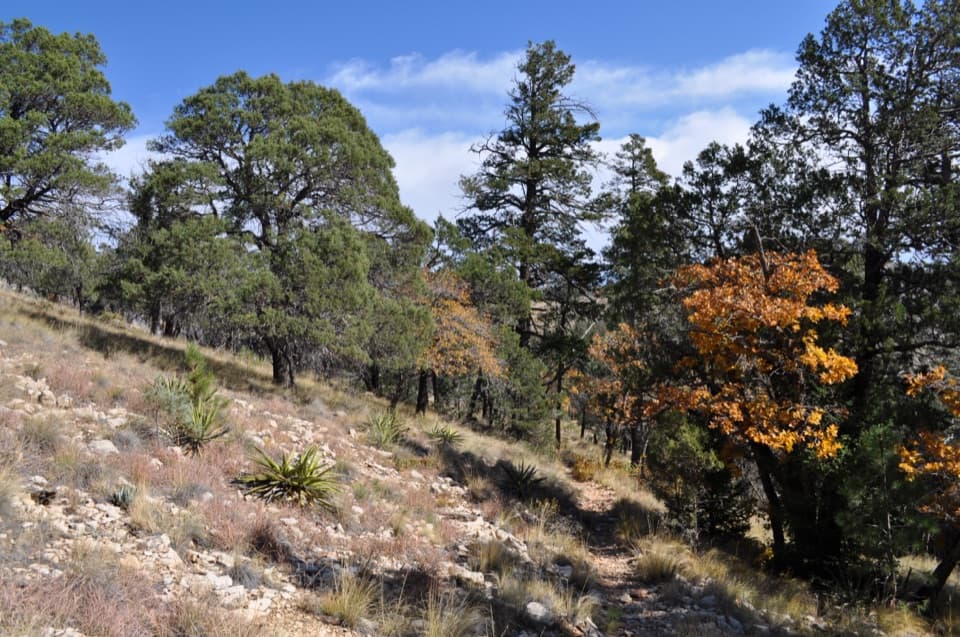 ChallengingBowl Trail11 mi · 9 hr · At the trailheadA long Tejas climb reaches a remnant forest in the high country.
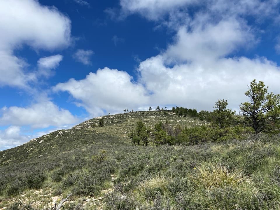 ChallengingBush Mountain Summit Hike13.3 mi · 8.5 hr · At the trailheadA long ridge hike to Texas’s second-highest summit.
 ChallengingTejas Thru Hike11.8 mi · 8 hr · At the trailheadCross the park’s high country from the Bowl to Dog Canyon.
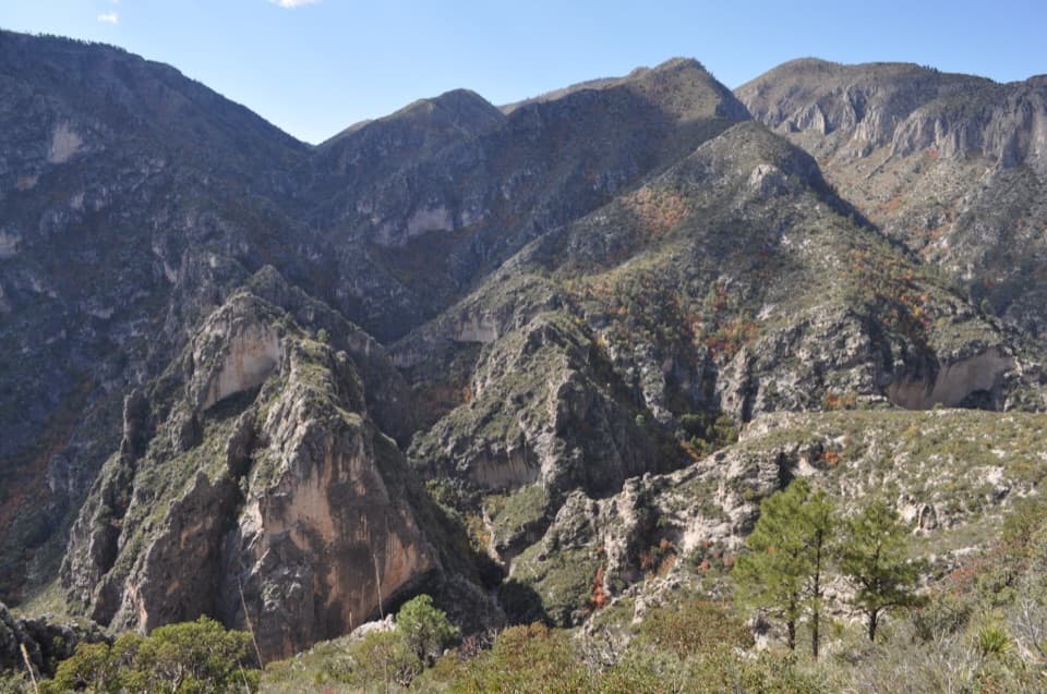 ChallengingPine Springs to McKittrick Canyon18.8 mi · 14 hr · At the trailheadA long high-country traverse ending in South McKittrick Canyon.
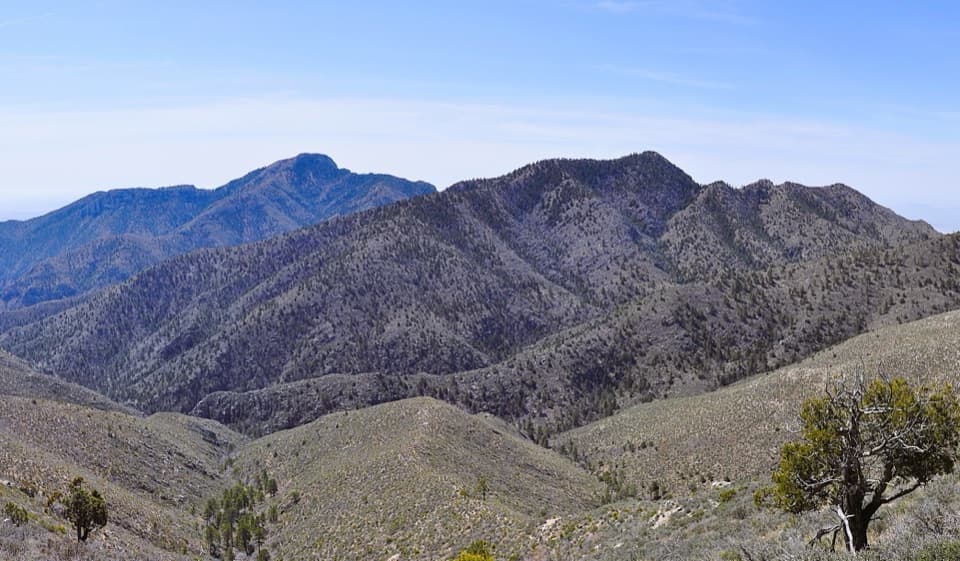 ChallengingBush Mountain–Blue Ridge Loop16.2 mi · 10.5 hr · At the trailheadA full-day ridge loop crosses Texas’s second-highest summit.
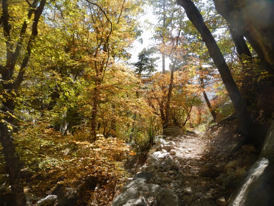 ChallengingBear Canyon–Juniper–Tejas Loop11 mi · 7.5 hr · At the trailheadSteep Bear Canyon, the Bowl's remnant forest, and a long Tejas return.
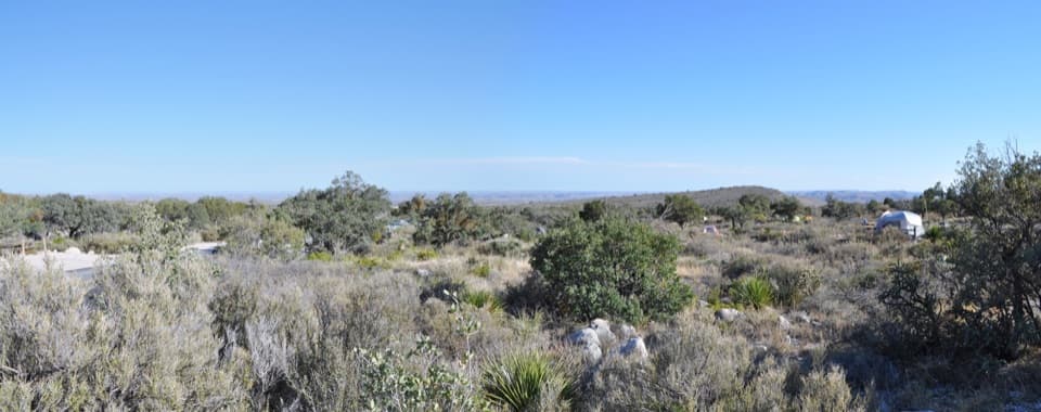 Campground · 0.1 mi awayPine Springs CampgroundA practical hiking base with tent sites, RV space, and mountain views.
 Visitor center · 0.4 mi awayPine Springs Visitor CenterStart here for permits, maps, and advice before your hike.
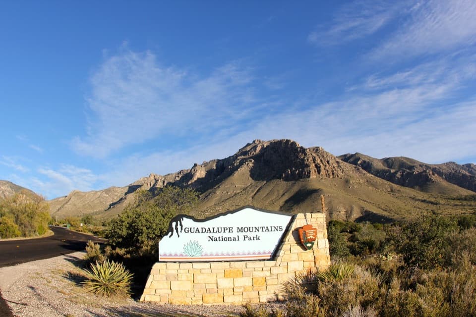 Sight · 0.5 mi awayGuadalupe Mountains National Park Entrance Sign (Pine Springs)A quick entrance photo with Hunter Peak behind the sign.
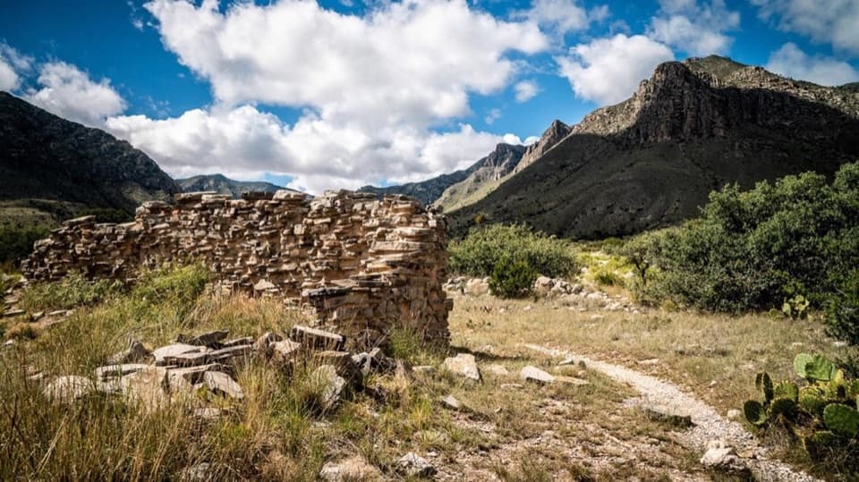 Sight · 0.6 mi awayThe PineryAn easy walk to the Butterfield route's highest station.
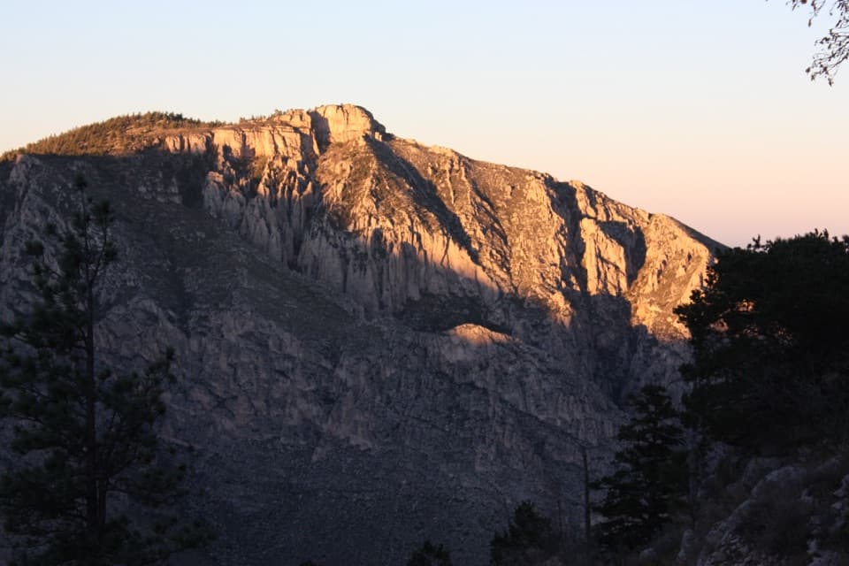 Sight · 1.2 mi awayHunter PeakA full-day climb to broad views from Texas’s sixth-highest peak.Sight · 1.4 mi awayDevil's HallA strenuous boulder scramble ends at a narrow limestone hallway.
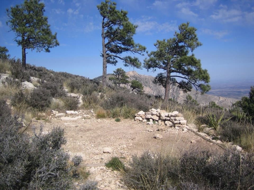 Campground · 1.4 mi awayGuadalupe Peak Wilderness CampgroundOvernight on the steep climb to Guadalupe Peak.
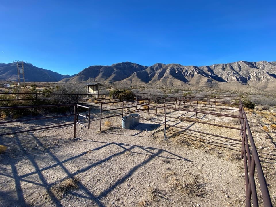 Campground · 1.7 mi awayFrijole Horse Corral CampgroundHorse camping with a clear view of the park's high peaks.
Parkwolf’s Guadalupe Mountains ranking

The audio tour guide for the drive, plus offline maps, trails, and wildlife heatmaps for when the signal drops.