Parking
Pine Springs Trailhead lot at the end of Pine Springs Access Road, beside the campground. The lot often fills first on busy weekends. Visitor-center parking connects to the trailhead by a path through the campground.

Guadalupe Mountains National Park, TX
A long ridge hike to Texas’s second-highest summit.
Overview
Map & elevation
Plan your hike

The highest, rockiest slopes around here are a summer buffet for grizzly bears.
Guadalupe Mountains Tour Guide
Parkwolf is a GPS audio tour guide for Guadalupe Mountains National Park. As you drive, it chimes in with what’s ahead: hidden gems, upcoming stops, history, geology, and wildlife, right through your car’s speakers.
Recorded for this area
Pine Springs: The Guadalupe Peak Climb“You're nearing Pine Springs Trailhead, where the climb to Guadalupe Peak begins.”
Plays on the road 0.2 mi from the trailhead in the Parkwolf Guadalupe Mountains Tour Guide.
More stories near here in the app
“Fantastic app with many points of information… It’s great to just turn on while you’re driving and it gives you an audio tour of the national Park. We love it!!!!”


Trail guide
Bush Mountain Summit Hike is a 13.3-mile out-and-back from Pine Springs Trailhead to the summit of 8,631-foot Bush Mountain, Texas’s second-highest peak. Take the Tejas Trail to Pine Top Junction, continue west along the Bush Mountain Trail, and follow the short summit branch to the high point. Allow 8 to 10 hours. This is a demanding wilderness day with a long initial climb and several later rises; the return is not a free downhill walk. The Bush Mountain Trail continues north toward Dog Canyon, but that through-route is a separate point-to-point hike, not part of this outing.
The Tejas Trail climbs about 3.7 miles from Pine Springs to Pine Top Junction. A hiker who continued to the nearby high-country camp reported gaining more than 2,500 feet on this first leg. Use the junction to check your pace, water and remaining daylight before continuing. The Bush Mountain Wilderness Campground lies another 2.7 miles beyond Pine Top, just below the summit’s southeast side. It is a useful distance marker, but it is a primitive backcountry campsite, not a service stop.
The ridge looks deceptively gentle on a small map. A hiker’s account describes four or five more climbs and descents, each roughly 200 to 500 feet. That repeated up-and-down is why the mileage can feel harder than it sounds; on the return, you climb those same bumps again before the long descent on Tejas. The route crosses both wooded and open high-country terrain, with broad views opening along the ridge. Take a detailed topographic map and keep enough time for the walk back.
Bush Mountain rises to 8,631 feet, making it the second-highest peak in Texas. The main through-trail crosses the summit area, with a short branch approaching the mapped high point across open ground. The high point is a gradual rise rather than a dramatic knob. A low survey benchmark stamped 8,626 feet sits on the ridge, but it is not a signpost; an earlier hiker still found the exact high point difficult to pick out. From the ridge, look into Pine Springs Canyon, across the state’s four highest peaks, and west toward the salt flats. For a summit photo, turn west for the flats and include some of the pale rocky slope to show the ridge you climbed.
The Guadalupe Mountains are the uplifted remains of the Capitan Reef, a fossil reef that grew along the edge of an ancient sea about 260 million years ago. The reef was buried, raised by tectonic forces and exposed again as softer rock eroded away. The pale limestone on this high ridge belongs to that ancient structure; the same reef that once sat beneath a sea now stands above the desert.
Pine Springs Trailhead is at the end of Pine Springs Access Road beside the campground. Its parking area often fills first on busy weekends; visitor-center parking has a connector through the campground to the trailhead. There is no reliable water along the route, including at the Bush Mountain campground, so carry the full day’s supply from Pine Springs. The accessible flush restroom at the trailhead is the last one before the wilderness. Pets are prohibited on the park’s backcountry trails. An overnight stay requires a wilderness permit; this route is best treated as a long day hike unless you have planned and permitted a backcountry camp.
Wildlife
 33 sightingsAoudadMost seen around 6 AMSighting map
 162 sightingsMule DeerMost seen around 6 AMSighting map
 11 sightingsWild TurkeyMost seen around 7 AMSighting map
 34 sightingsCollared PeccaryMost seen around 7 AMSighting map
 37 sightingsDiamondback RattlesnakeMost seen around 6 PMSighting map
 42 sightingsBlack-tailed RattlesnakeMost seen around 7 PMSighting map
Sighting maps show where each species has been reported across Guadalupe Mountains. Wildlife moves, so no sighting is guaranteed.
Keep exploring
 ChallengingHunter Peak Loop8.7 mi · 7 hr · At the trailheadBear Canyon up, Tejas down, and a summit over the desert.
 ChallengingDevil's Hall Trail4.2 mi · 4 hr · At the trailheadBoulder scrambling leads to a natural staircase and narrow canyon hall.
 ChallengingBowl Trail11 mi · 9 hr · At the trailheadA long Tejas climb reaches a remnant forest in the high country.
 ChallengingSalt Basin Overlook Trail11.3 mi · 8 hr · At the trailheadA long, open loop to the Salt Basin’s wide western views.
 ChallengingTejas Thru Hike11.8 mi · 8 hr · At the trailheadCross the park’s high country from the Bowl to Dog Canyon.
 ChallengingPine Springs to McKittrick Canyon18.8 mi · 14 hr · At the trailheadA long high-country traverse ending in South McKittrick Canyon.
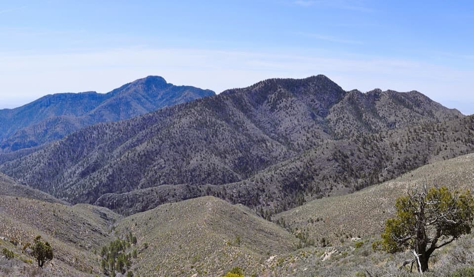 ChallengingBush Mountain–Blue Ridge Loop16.2 mi · 10.5 hr · At the trailheadA full-day ridge loop crosses Texas’s second-highest summit.
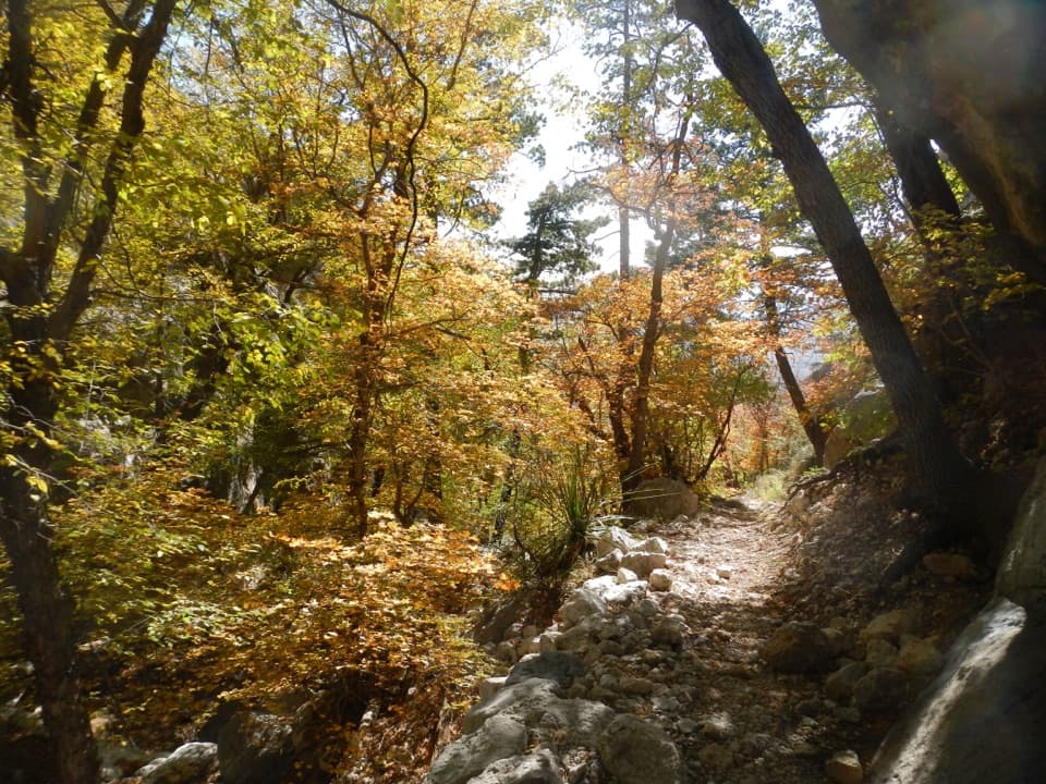 ChallengingBear Canyon–Juniper–Tejas Loop11 mi · 7.5 hr · At the trailheadSteep Bear Canyon, the Bowl's remnant forest, and a long Tejas return.
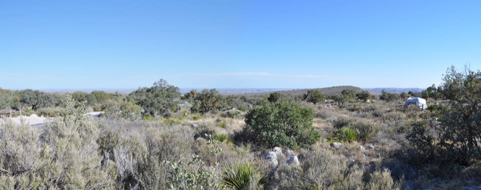 Campground · 0.1 mi awayPine Springs CampgroundA practical hiking base with tent sites, RV space, and mountain views.
 Visitor center · 0.4 mi awayPine Springs Visitor CenterStart here for permits, maps, and advice before your hike.
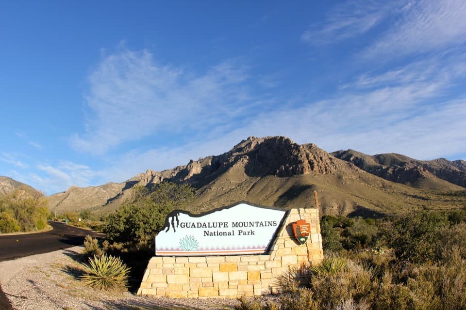 Sight · 0.5 mi awayGuadalupe Mountains National Park Entrance Sign (Pine Springs)A quick entrance photo with Hunter Peak behind the sign.
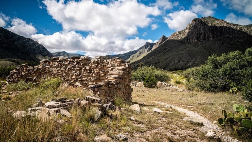 Sight · 0.6 mi awayThe PineryAn easy walk to the Butterfield route's highest station.
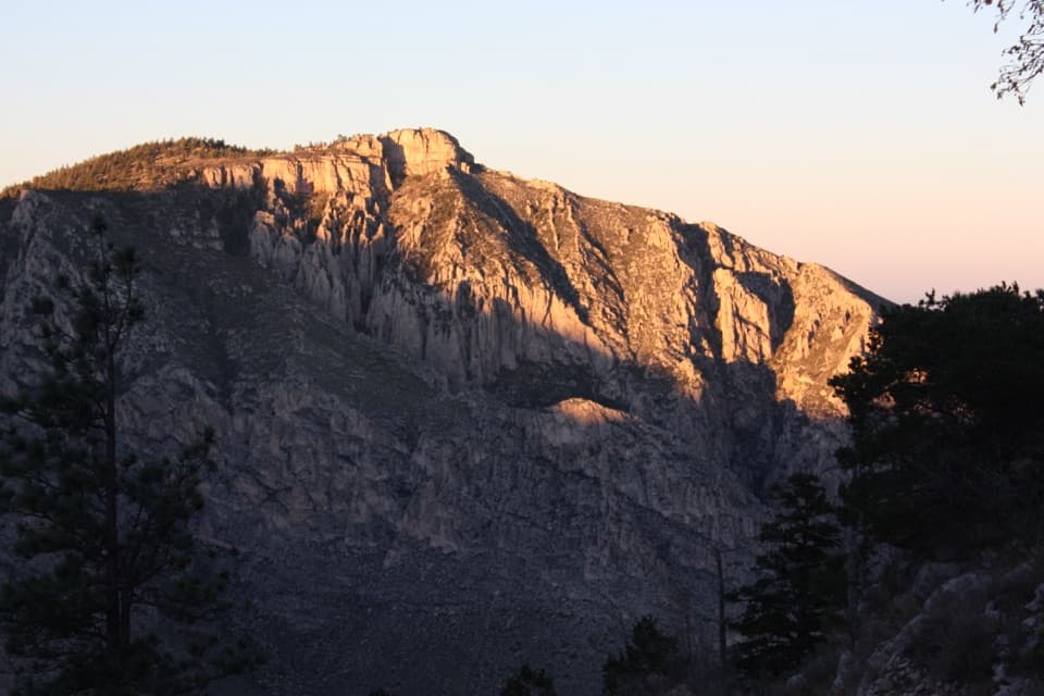 Sight · 1.2 mi awayHunter PeakA full-day climb to broad views from Texas’s sixth-highest peak.Sight · 1.4 mi awayDevil's HallA strenuous boulder scramble ends at a narrow limestone hallway.
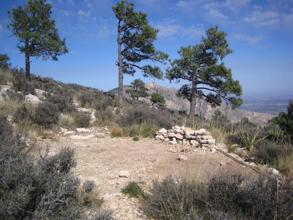 Campground · 1.4 mi awayGuadalupe Peak Wilderness CampgroundOvernight on the steep climb to Guadalupe Peak.
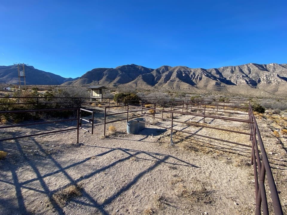 Campground · 1.7 mi awayFrijole Horse Corral CampgroundHorse camping with a clear view of the park's high peaks.
Parkwolf’s Guadalupe Mountains ranking

The audio tour guide for the drive, plus offline maps, trails, and wildlife heatmaps for when the signal drops.



