1 active Guadalupe Mountains alert
- CautionDevil’s Hall wash dangerous when wetThe Devil’s Hall hike is strenuous, and its wash section is dangerous when wet or if water is present. - The wash requires rock scrambling.Official details
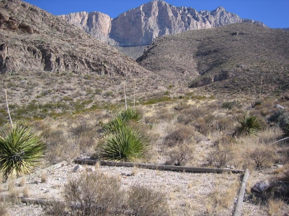
Campground · Guadalupe Mountains National Park
A nine-mile backpack to camps beneath the western escarpment.
Overview
Map
Plan your stop

The highest, rockiest slopes around here are a summer buffet for grizzly bears.
Guadalupe Mountains Tour Guide
Parkwolf is a GPS audio tour guide for Guadalupe Mountains National Park. As you drive, it chimes in with what’s ahead: hidden gems, upcoming stops, history, geology, and wildlife, right through your car’s speakers.
More stories near here in the app
“Fantastic app with many points of information… It’s great to just turn on while you’re driving and it gives you an audio tour of the national Park. We love it!!!!”


Guide
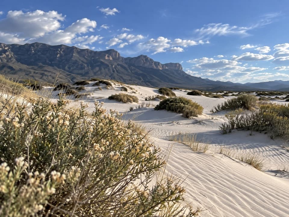
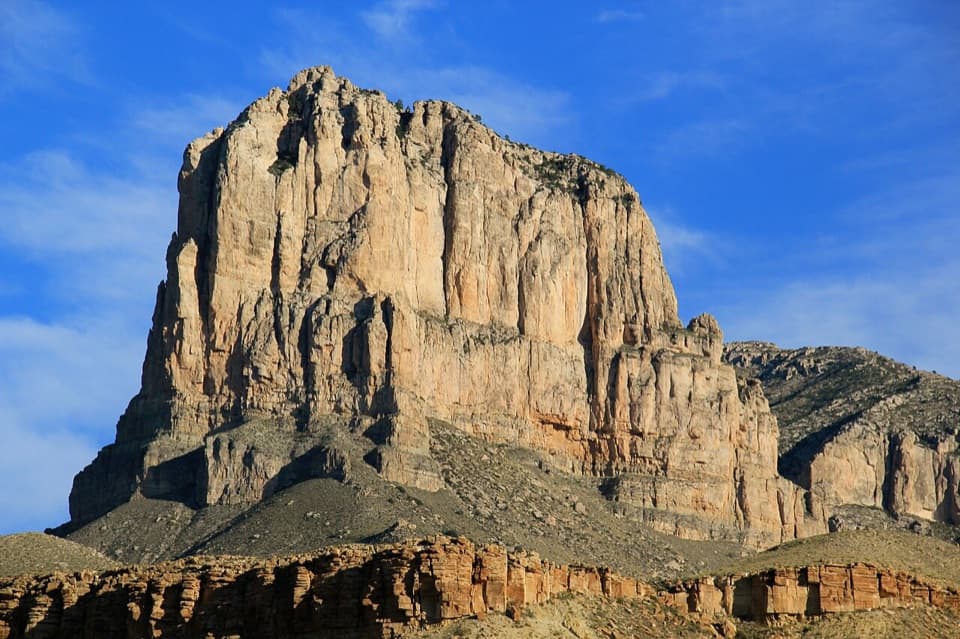
Shumard Canyon Wilderness Campground is a five-site, walk-in tent camp in open high desert below the western escarpment. It suits backpackers looking for a remote night with broad views of the Guadalupe west face. The camp is nine hiking miles from Pine Springs Trailhead, so treat it as a backpacking objective, not a quick campground stop; a wilderness-use permit is required.
The five sites are tent-only, with hardened pads and no shade or windbreak. The escarpment rises above the desert scrub, and the west face fills the view. There is no potable water, toilet, camp store, or cell service, so bring all food and water. Summer heat can become dangerous here.
The approach is exposed to sun, wind, and weather. It climbs, though less than many park trails; it is still a long hike. Carry all your water, pack out trash and human waste in a landfill-safe toilet bag, and use a fuel stove: campfires aren't allowed. Pets aren't allowed on park trails or in the backcountry.
Wildlife
 33 sightingsAoudadMost seen around 6 AMSighting map
 162 sightingsMule DeerMost seen around 6 AMSighting map
 11 sightingsWild TurkeyMost seen around 7 AMSighting map
 34 sightingsCollared PeccaryMost seen around 7 AMSighting map
 37 sightingsDiamondback RattlesnakeMost seen around 6 PMSighting map
 42 sightingsBlack-tailed RattlesnakeMost seen around 7 PMSighting map
Sighting maps show where each species has been reported across Guadalupe Mountains. Wildlife moves, so no sighting is guaranteed.
Keep exploring
 ChallengingGuadalupe Peak Trail8.4 mi · 7 hr · 3.5 mi awayClimb 3,000 feet to the highest point in Texas.
 ChallengingHunter Peak Loop8.7 mi · 7 hr · 3.5 mi awayBear Canyon up, Tejas down, and a summit over the desert.
 ChallengingDevil's Hall Trail4.2 mi · 4 hr · 3.5 mi awayBoulder scrambling leads to a natural staircase and narrow canyon hall.
 ChallengingBowl Trail11 mi · 9 hr · 3.5 mi awayA long Tejas climb reaches a remnant forest in the high country.
 ChallengingSalt Basin Overlook Trail11.3 mi · 8 hr · 3.5 mi awayA long, open loop to the Salt Basin’s wide western views.
 ChallengingBush Mountain Summit Hike13.3 mi · 8.5 hr · 3.5 mi awayA long ridge hike to Texas’s second-highest summit.
 ChallengingTejas Thru Hike11.8 mi · 8 hr · 3.5 mi awayCross the park’s high country from the Bowl to Dog Canyon.
 ChallengingPine Springs to McKittrick Canyon18.8 mi · 14 hr · 3.5 mi awayA long high-country traverse ending in South McKittrick Canyon.
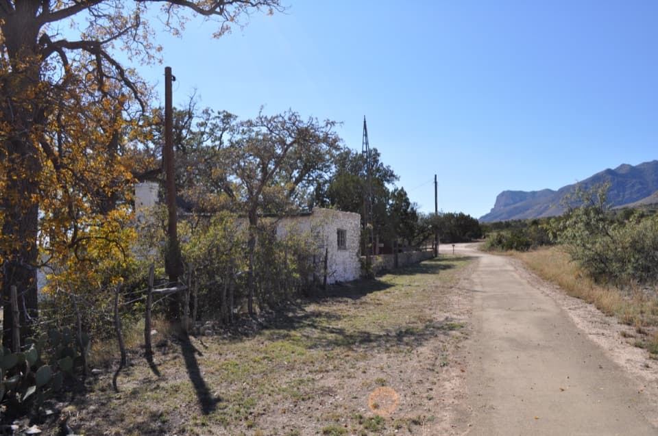
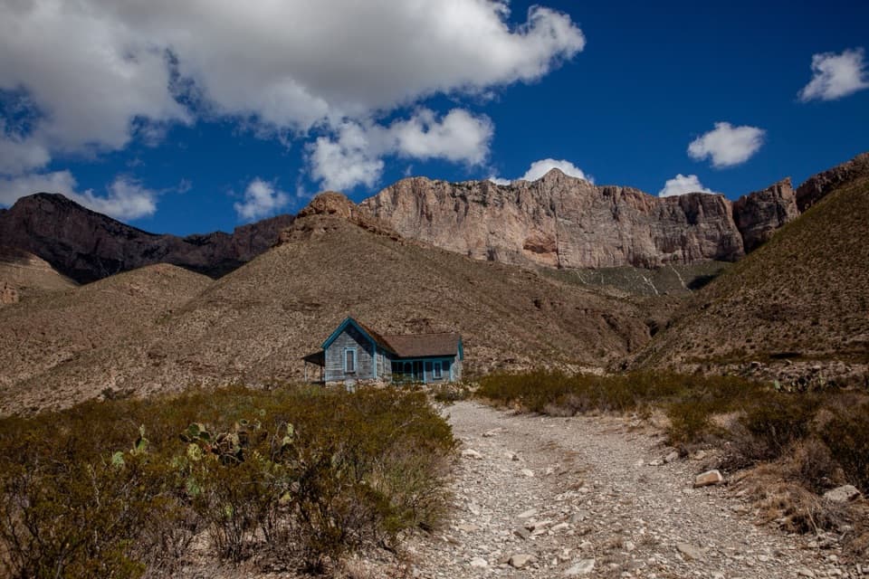 Sight · 0.4 mi awayWilliams RanchA 1908 ranch house beneath Guadalupe's western escarpment.
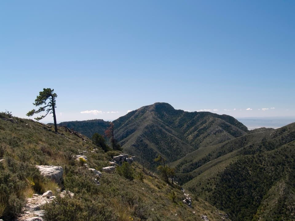 Sight · 1.6 mi awayGuadalupe PeakA steep, rocky hike reaches Texas' highest natural point.
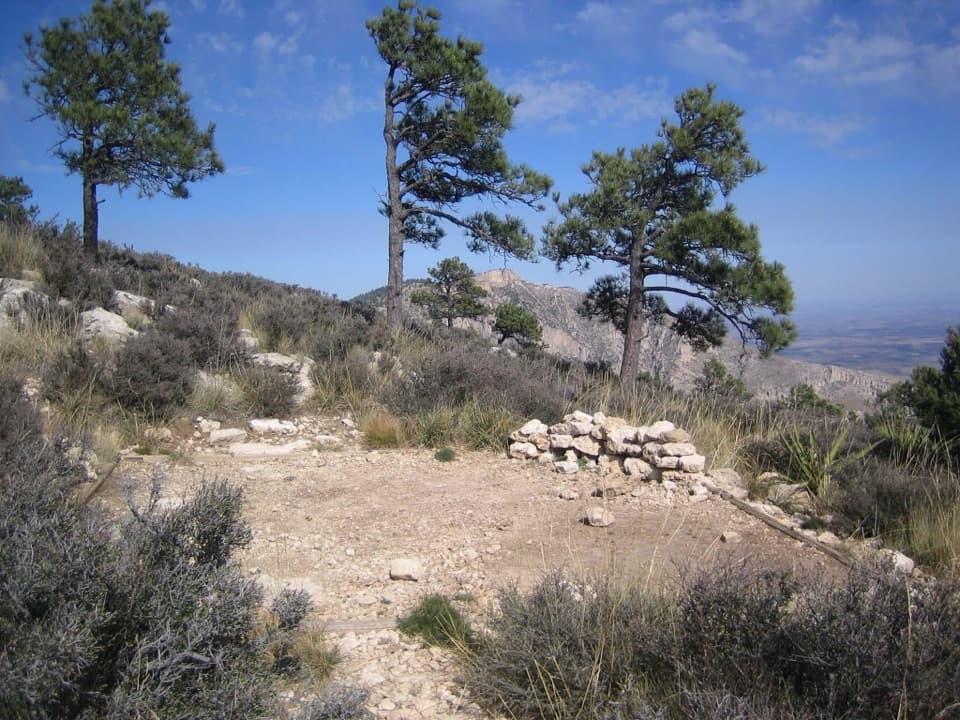 Campground · 2.1 mi awayGuadalupe Peak Wilderness CampgroundOvernight on the steep climb to Guadalupe Peak.
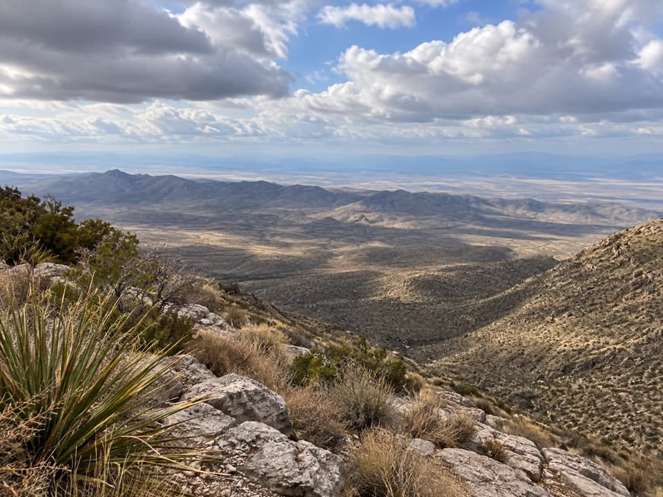 Sight · 2.3 mi awaySalt Basin OverlookA long, exposed hike ends at a west-facing salt-basin overlook.Sight · 2.6 mi awayDevil's HallA strenuous boulder scramble ends at a narrow limestone hallway.
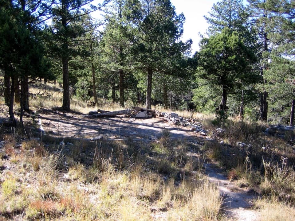 Campground · 2.7 mi awayBush Mountain Wilderness CampgroundA demanding hike to five tent pads and western sunset views.
 Sight · 2.9 mi awayBush MountainTexas’s second-highest peak, reached by backcountry trail.
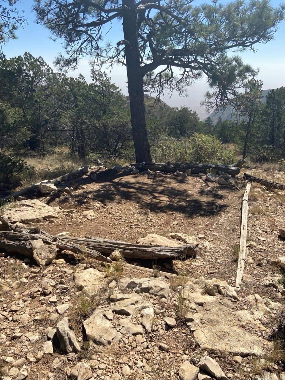 Campground · 3.2 mi awayPine Top Wilderness CampgroundEight high-country tent pads near the Bowl, reached by a steep climb.
Parkwolf’s Guadalupe Mountains ranking

The audio tour guide for the drive, plus offline maps, trails, and wildlife heatmaps for when the signal drops.