Skyline Trail in Haleakalā National Park

Haleakalā National Park, HI

Skyline Trail

A high-altitude traverse across Haleakalā’s volcanic rift

Photo: Wikimedia Commons
Length
6.7mi
Time
4.5hr
Elev. change
3,166ft
Difficulty
Challenging
  • Dogs allowed
  • High point 9,698 ft

Hear the audio tour

Puʻuʻulaʻula Summit

Overview

About Skyline Trail

Why go

  • A rare long traverse across Haleakalā’s open volcanic rift.
  • Cinder cones, changing vegetation, and views above Maui’s clouds.

Heads up

  • The one-way finish needs a pickup at the lower reserve access.
  • The summit start is high, exposed, and without route-side services.

Map & elevation

The route

Loading the Haleakalā map
Full map
Elevation6,532–9,698 ft
TrailheadSkyline Trailhead20.70579, -156.26146
Keep this map with you offline in the Parkwolf app

Plan your hike

Before you go

Parking

Use the summit parking near Puʻu ʻUlaʻula, then walk back down to the highway and west to the signed Skyline access beside the telescope complex. Stay out of telescope facilities. The route ends at a lower Kula Forest Reserve access, so arrange a pickup or second car there before you start.


Safety

The route starts near 9,700 feet; altitude, cold, wind, rain, and exposure are serious considerations. No water source is documented along the route. Hunting occurs in the reserve: wear bright colors, stay on trail, and do not climb Puʻu Kanahau. Summit District entry from 3 to 7 a.m. requires a sunrise reservation.

2 active Haleakalā alerts

  • ClosureSwimming prohibited at ʻOheʻo PoolsDo not enter or swim in the Pools of ʻOheʻo in the Kīpahulu District. - Entry is prohibited because of a number of safety concerns; view the pools safely from the Kūloa Point Trail instead.Official details
  • CautionCrater Road lane closures near Haleakalā National ParkExpect single-lane closures on Crater Road (Route 378) from Monday, October 12, through Friday, October 16.Official details
Haleakalā alerts
A park ranger sits on a dash-mounted phone, talking, as Parkwolf’s Tour Guide plays “Army Cutworm Moths: A Grizzly Bear Buffet” on Grand Loop Road below Dunraven Pass in Yellowstone
Parkwolf Tour GuideThe highest, rockiest slopes around here are a summer buffet for grizzly bears.

Haleakalā Tour Guide

Your drive to Skyline Trail, narrated.

Parkwolf is a GPS audio tour guide for Haleakalā National Park. As you drive, it chimes in with what’s ahead: hidden gems, upcoming stops, history, geology, and wildlife, right through your car’s speakers.

Recorded for this trailhead

Puʻuʻulaʻula Summit
0:00 / 0:34
“You're approaching Puʻuʻulaʻula, Maui's highest point at ten thousand and twenty-three feet. Keep this stop if you want the island's high point without a summit hike.”

Plays as you drive up to this trailhead in the Parkwolf Haleakalā Tour Guide.

More stories near here in the app

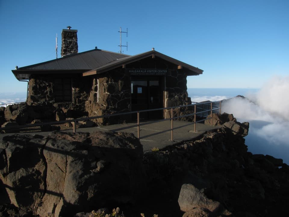
  • Haleakalā Visitor Center
  • The ʻIʻiwi's Curved Bill
  • Kalahaku Overlook
  • A Seabird's Mountain Home
  • 25 audio storiesacross Haleakalā’s roads, triggered by GPS as you drive
  • Wildlife heatmapsfor Hawaiian Goose, Hawaiian Short-eared Owl, Green Sea Turtle, and 12 more
  • Works offlinemaps, 17 trails, 32 places, and audio download before you lose signal
  • CarPlay readysimple controls built for the drive
★★★★★
“Fantastic app with many points of information… It’s great to just turn on while you’re driving and it gives you an audio tour of the national Park. We love it!!!!”
JMJamesApp Store review
Download Parkwolf on the App StoreGet Parkwolf on Google Play

4.7 from 8,600+ ratings

Trail guide

Hiking Skyline Trail

The full traverseSkyline Trail is a 6.

Skyline Trail is a 6.7-mile point-to-point descent from the Science City access on Haleakalā’s summit flank to a lower access in Kula Forest Reserve. It follows the southwest side of the volcano from nearly 9,700 feet down to about 6,500 feet. Allow four to five hours on foot. I’d choose it for a long, open volcanic traverse if you already have a pickup arranged at the lower end; this is not a loop.

Reach the startPark near Puʻu ʻUlaʻula in the summit area, then walk back down to the highway and west to the…

Park near Puʻu ʻUlaʻula in the summit area, then walk back down to the highway and west to the signed Skyline access by the telescope complex. Stay out of the telescope facilities and pass through the marked gate onto the state route. The trail continues far below the summit, so arrange a ride or a second car at the lower reserve access before starting. There are no services at the upper access, and no water source is documented along the route. To enter the Summit District from 3 to 7 a.m., you need a sunrise reservation.

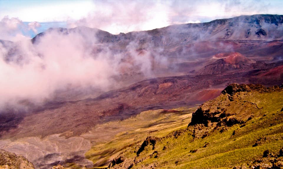
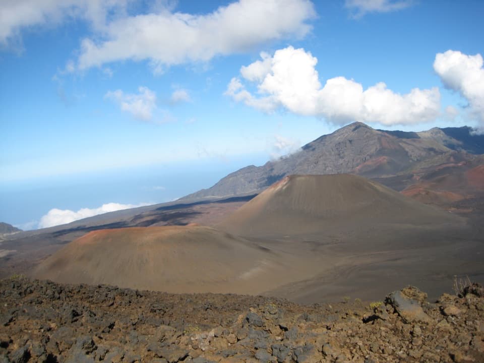
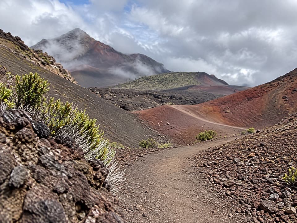
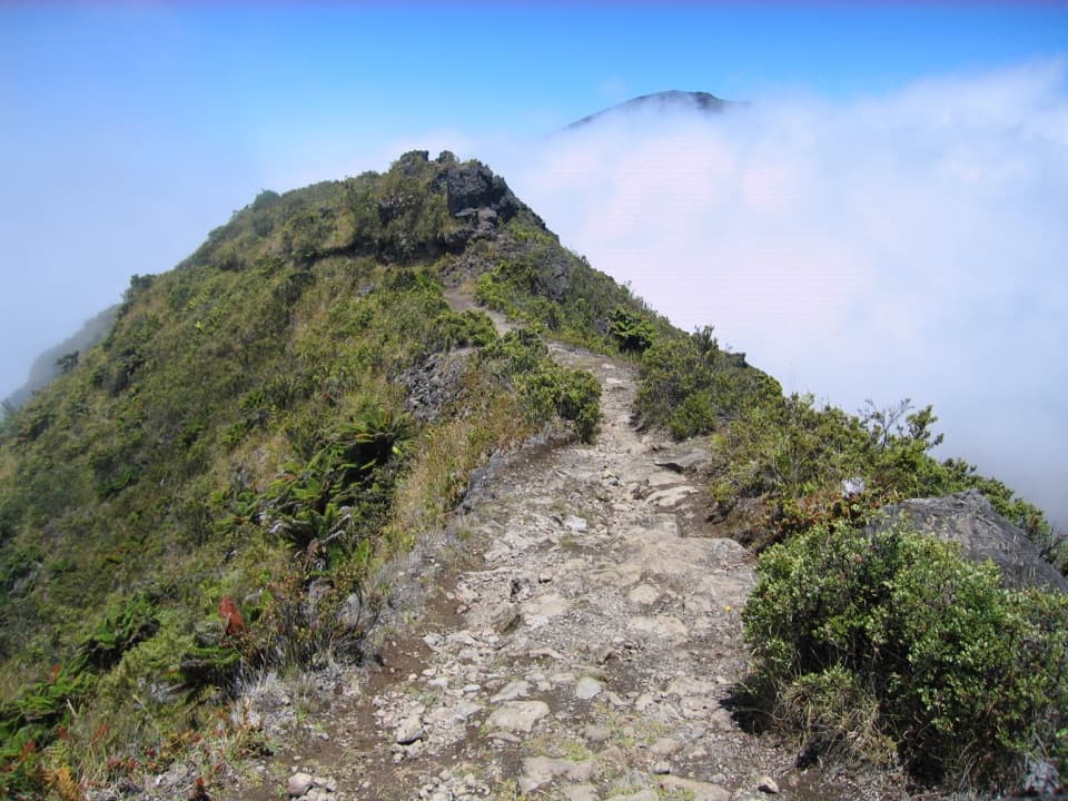
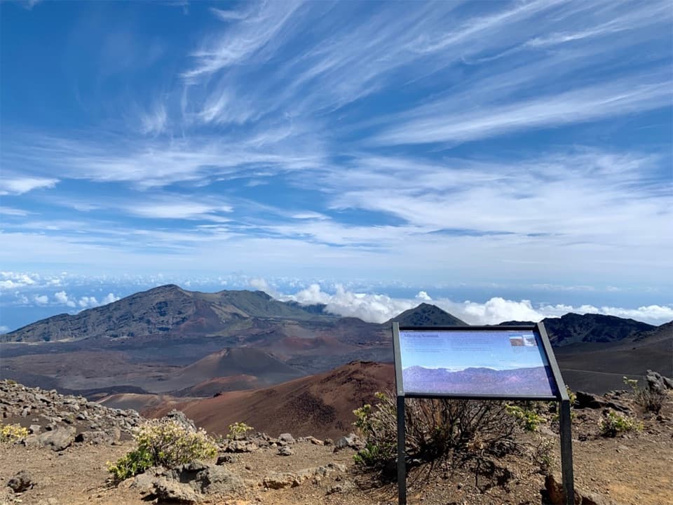
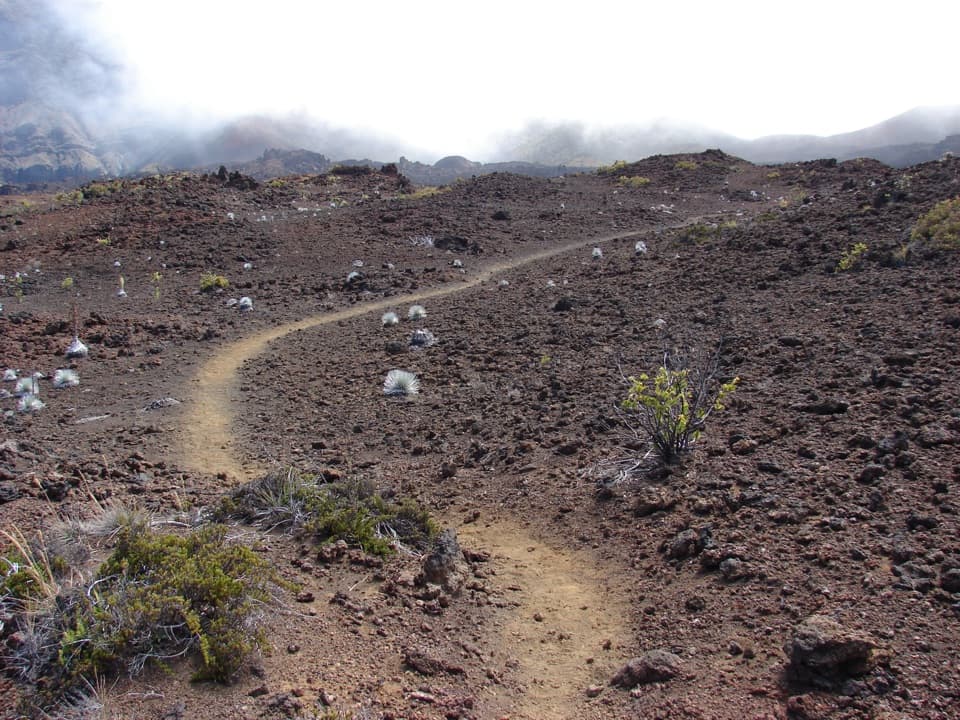
Cinders and the tree lineMuch of the walk follows broad, rough dirt-road tread across bare volcanic ground.

Much of the walk follows broad, rough dirt-road tread across bare volcanic ground. The route crosses a rift with more than a dozen cinder cones and craters. At Kanahau, around 8,600 feet, the māmane tree line ends; farther down, native scrub grows denser and more varied. Mountain bikers use parts of the same route, so stay on the visible line and watch for other trail users.

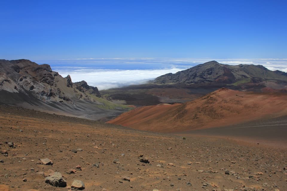
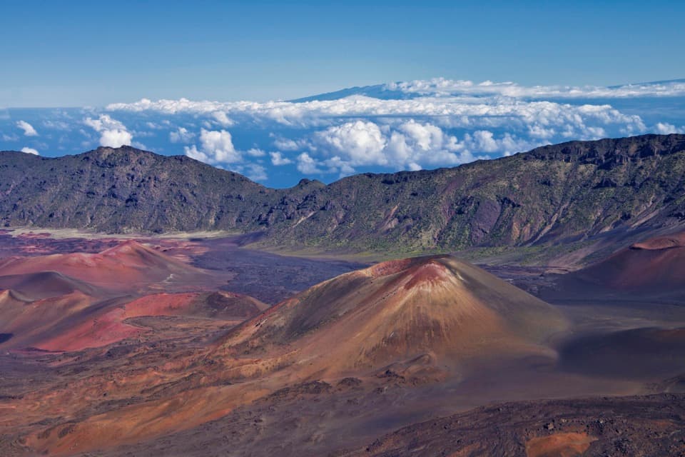
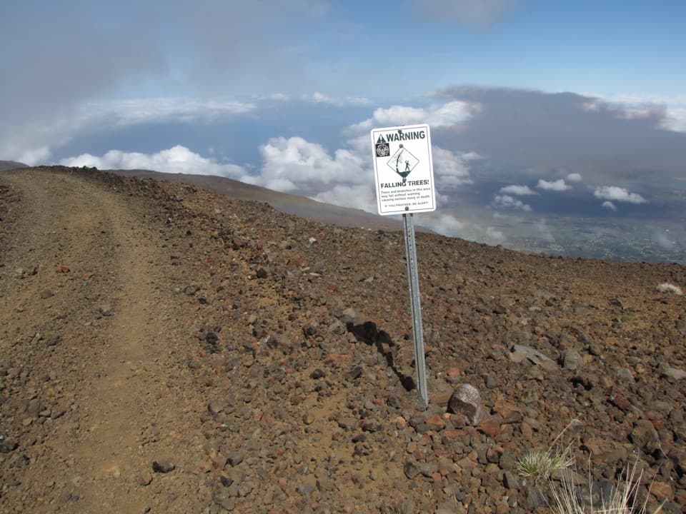
Above the cloudsOn a clear day, Mauna Kea and Mauna Loa can rise above the cloud deck, with West Maui opening…

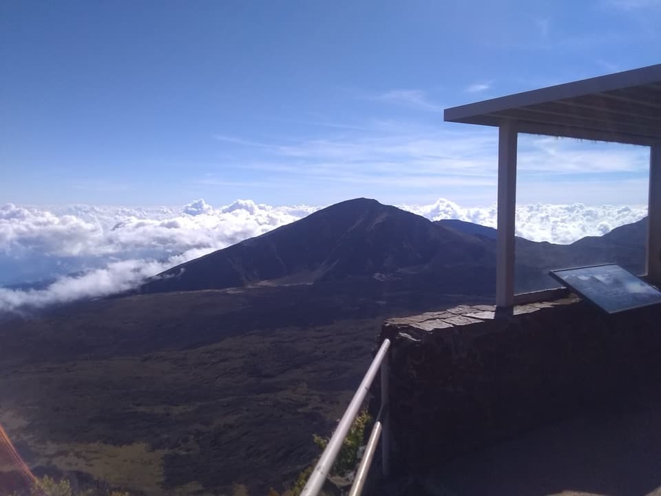
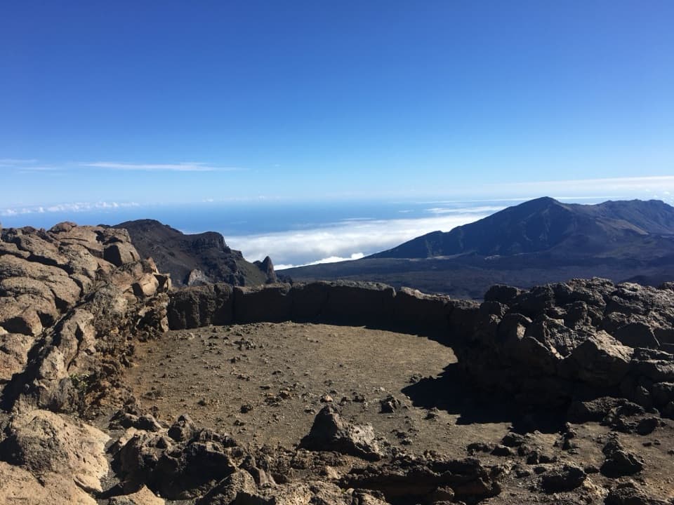
On a clear day, Mauna Kea and Mauna Loa can rise above the cloud deck, with West Maui opening farther down. The cones and broken lava give the descent a different feel from the summit overlooks. If the clouds lift, frame a cinder cone in the foreground to show how the slope falls away below you.

The high start mattersThe route begins close to 10,000 feet, where thin air can make a steady descent harder than the…

The route begins close to 10,000 feet, where thin air can make a steady descent harder than the mileage suggests. The upper slope is open and exposed, and cold, wind, rain, and strong sun are all possible. Hunting is part of the reserve’s use: wear bright colors, stay on the marked route, and pass north of Puʻu Kanahau rather than climbing it. Dogs are allowed on leash on the state route.

Wildlife

Wildlife in Haleakalā

All Haleakalā wildlife maps

Sighting maps show where each species has been reported across Haleakalā. Wildlife moves, so no sighting is guaranteed.

Keep exploring

Near Skyline Trail

See it all on the map

Trails that start nearby

Places near the trailhead

Parkwolf’s Haleakalā ranking

Top-rated trails in Haleakalā

All 17 trails
  1. 1Pīpīwai TrailModerate · 4 mi
  2. 2Keoneheʻeheʻe (Sliding Sands) TrailChallenging · 7.8 mi
  3. 3Keoneheʻeheʻe to Halemauʻu TrailChallenging · 11 mi
  4. 4Halemauʻu TrailModerate · 2.7 mi
  5. 5Silversword Loop via Halemauʻu TrailChallenging · 10 mi
  6. 6Pā Kaʻoao TrailEasy · 0.4 mi

Take Parkwolf to Haleakalā.

The audio tour guide for the drive, plus offline maps, trails, and wildlife heatmaps for when the signal drops.

4.7 from 8,600+ ratings

Download Parkwolf on the App StoreGet Parkwolf on Google Play