Parking
Follow Kahuku Road to the signed Kamakapaʻa Trailhead; it is separate from the nearby Puʻu o Lokuana trailhead. The parking layout is not well documented, so use the on-site trailhead sign.
Hawaiʻi Volcanoes National Park, HI
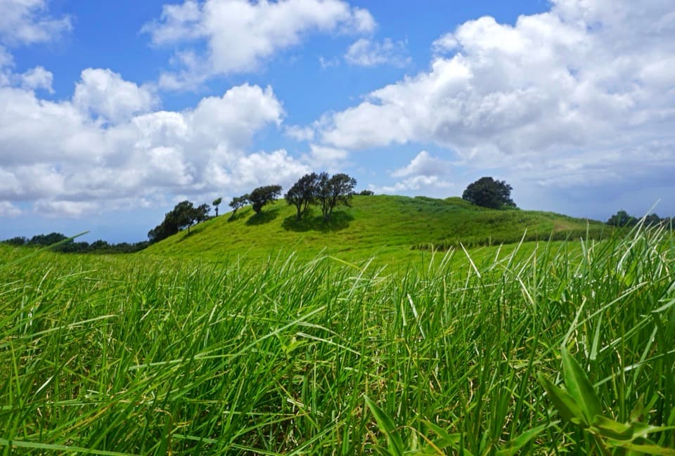
A grassy half-mile loop to a small cone and wide Kaʻū views
Overview
Map & elevation
Plan your hike

The highest, rockiest slopes around here are a summer buffet for grizzly bears.
Hawaiʻi Volcanoes Tour Guide
Parkwolf is a GPS audio tour guide for Hawaiʻi Volcanoes National Park. As you drive, it chimes in with what’s ahead: hidden gems, upcoming stops, history, geology, and wildlife, right through your car’s speakers.
See the Hawaiʻi Volcanoes audio tourRecorded for this trailhead
Kamakapaʻa: A Short Walk for the View“Up ahead is the Kamakapaʻa trailhead, for a short walk through open grassland to a small cinder cone. Allow twenty to thirty minutes for the half-mile loop, with uneven footing and a short, steep climb near the top.”
Plays as you drive up to this trailhead in the Parkwolf Hawaiʻi Volcanoes Tour Guide.
More stories near here in the app
“Fantastic app with many points of information… It’s great to just turn on while you’re driving and it gives you an audio tour of the national Park. We love it!!!!”


Trail guide
Plan on half a mile for the complete loop, including the short access spur from Kahuku Road and the same spur back. Allow 20–30 minutes. This is an easy, quick stop if you want a walk through Kahuku grassland and a hilltop view without giving it half a day.
The path crosses open grass, then climbs steeply for a short stretch to a small cinder cone. Expect uneven footing and about 40 feet of elevation change. From the top, the view sweeps across lower Kaʻū. Pause up there; that wide, open look over the district is the payoff.
Use the Kamakapaʻa Trailhead access along Kahuku Road, separate from the nearby Puʻu o Lokuana trailhead. Parking details are limited, so look for the Kamakapaʻa sign. Kahuku opens on limited posted days and hours; reservations aren't needed, pets aren't allowed, and an entrance fee may apply. Check park access information before driving out.
Wildlife
 600 sightingsHawaiian Goose (Nēnē)Most seen around 5 PMSighting map
 35 sightingsGreen Sea TurtleMost seen around 11 AMSighting map
 36 sightingsHawaiian Hawk ('Io)Most seen around 11 AMSighting map
 41 sightingsBlack NoddyMost seen around 5 PMSighting map
 96 sightingsWhite-tailed TropicbirdMost seen around noonSighting map
 24 sightingsHawai'i 'ElepaioMost seen around 8 AMSighting map
Sighting maps show where each species has been reported across Hawaiʻi Volcanoes. Wildlife moves, so no sighting is guaranteed.
Keep exploring
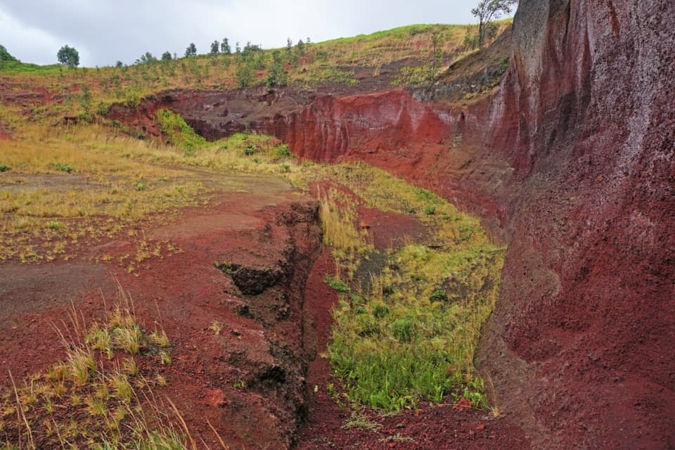 ModeratePuʻu o Lokuana Trail2 mi · 1.5 hr · 0.4 mi awayA ranch-road loop through a green kīpuka and red cinder cone.
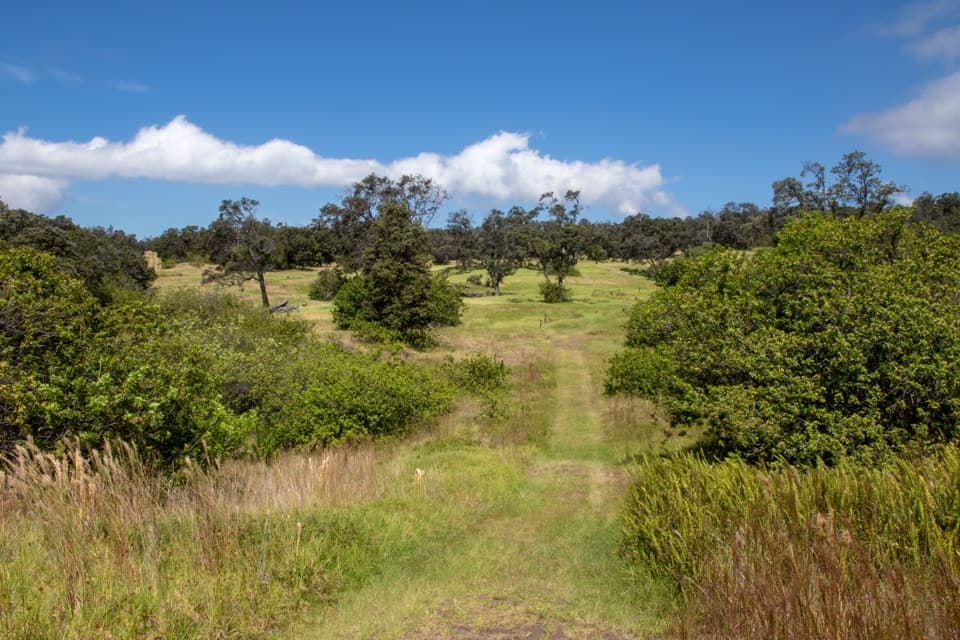 ModeratePalm Trail2.6 mi · 1.5 hr · 1.1 mi awayFollow an 1868 lava fissure through old ranchland and open pasture.
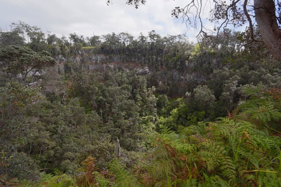 ChallengingPit Crater Trail4.8 mi · 4.5 hr · 2.2 mi awayA steep climb through koa pasture to a forest-filled crater.
 ChallengingKona Trail7 mi · 4 hr · 2.9 mi awayA full 7-mile outing through Kahuku pasture and 1887 lava.ModerateThe Glover Trail3.2 mi · 2.5 hr · 4.1 mi awayPasture paths end at a rainforest tucked inside a crater.
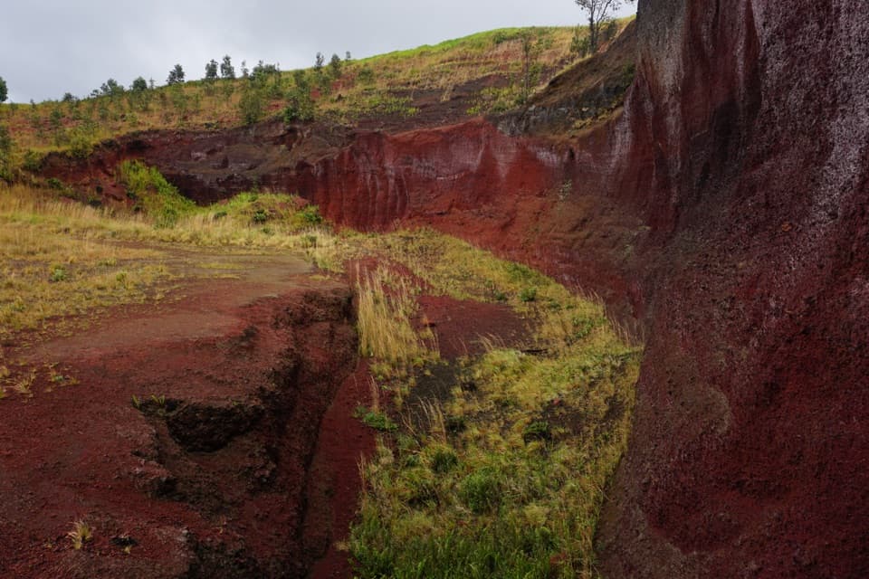 Sight · 0.4 mi awayPuʻu o LokuanaA steep little climb to red cinders and the Kaʻū coast.
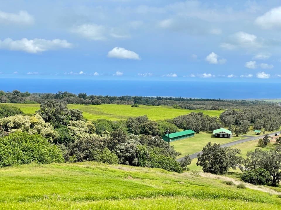 Visitor center · 0.5 mi awayKahuku Visitor Contact StationA useful stop before Kahuku's fields, ranchland and volcanic trails.
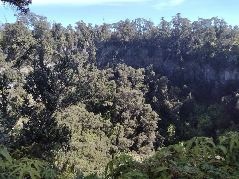 Sight · 4.3 mi awayForested Pit CraterA long hike to the forest sheltered inside a steep crater.
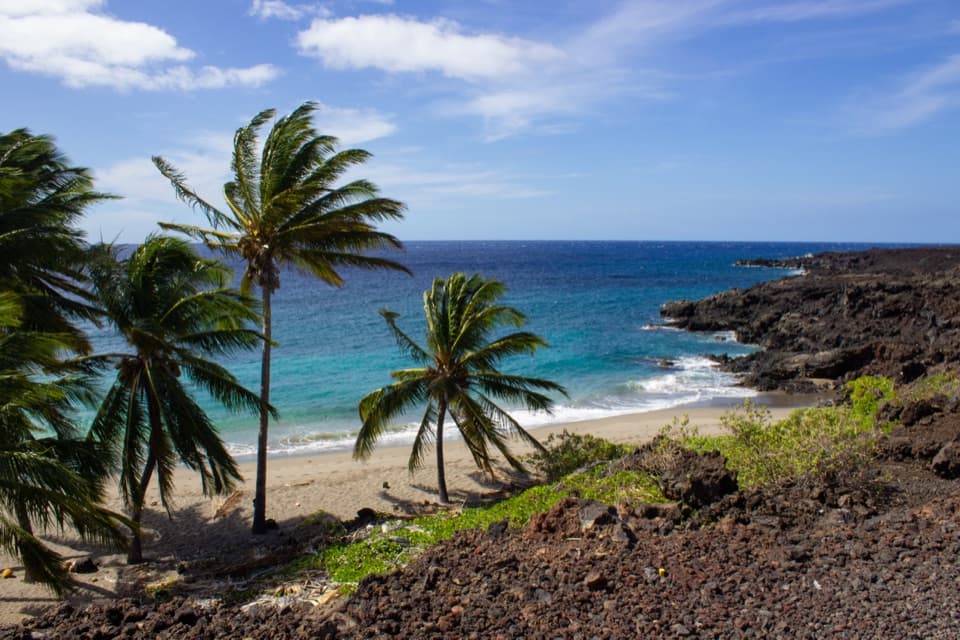 Sight · 9.2 mi awayPōhue BayAn ancient coast preserved for its archaeology and endemic wildlife.
Parkwolf’s Hawaiʻi Volcanoes ranking

The audio tour guide for the drive, plus offline maps, trails, and wildlife heatmaps for when the signal drops.