Parking
Start at the ROD Quarantine Gate on Upper Kahuku Road. The Kona loop’s trailhead is a 1.2-mile walk from the gate each way, so include the access miles when planning the outing.

Hawaiʻi Volcanoes National Park, HI
A full 7-mile outing through Kahuku pasture and 1887 lava.
Overview
Map & elevation
Plan your hike

The highest, rockiest slopes around here are a summer buffet for grizzly bears.
Hawaiʻi Volcanoes Tour Guide
Parkwolf is a GPS audio tour guide for Hawaiʻi Volcanoes National Park. As you drive, it chimes in with what’s ahead: hidden gems, upcoming stops, history, geology, and wildlife, right through your car’s speakers.
See the Hawaiʻi Volcanoes audio tourRecorded for this trailhead
Kahuku Quarantine Gate: The Longer Glover Walk“You're approaching Kahuku's quarantine gate, the walking access for the Glover Trail. From here, reaching the Glover loop and walking it makes a five-point-six-mile outing, with uneven grass and plenty of ups and downs.”
Plays as you drive up to this trailhead in the Parkwolf Hawaiʻi Volcanoes Tour Guide.
More stories near here in the app
“Fantastic app with many points of information… It’s great to just turn on while you’re driving and it gives you an audio tour of the national Park. We love it!!!!”


Trail guide
Kona Trail is a strenuous loop through the Kahuku Unit’s former ranch country and across Mauna Loa’s 1887 lava flow. The loop itself is 4.6 miles; reaching it from ROD Quarantine Gate adds a 1.2-mile walk each way, making the whole outing 7 miles round trip. Allow 3 to 5 hours. The loop has 520 feet of elevation change, before counting the gate approach.
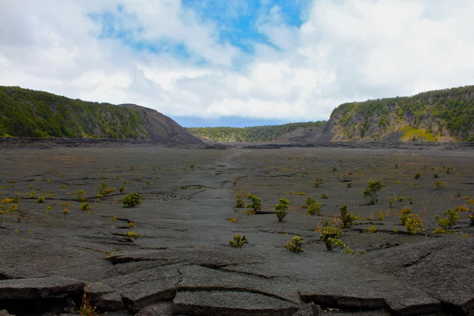
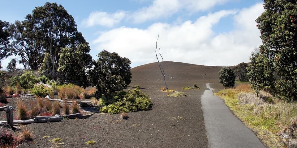
The access walk leads from the gate to the mapped Kona loop near Lower Glover Trailhead. From there the route circles through open paddocks scattered with large ʻōhiʻa trees, then crosses the 1887 flow that reached the ocean in less than a day. The change from ranch grassland and native trees to dark, rough lava is the hike’s defining contrast.
Kahuku Ranch was among Hawaiʻi’s largest cattle ranches and produced beef and hides for more than 150 years. Old fencing, stone walls and pasture openings still show how the land was used. The Kona route ties that history to the lava landscape instead of treating the two as separate stops.
Use ROD Quarantine Gate as the starting access and count the approach in both directions. Carry water and snacks for the full outing. The lava can have deep cracks, unstable ground and razor-sharp edges, so watch each step. Spray shoe soles with the rubbing alcohol provided at the ROD station to help limit Rapid ʻŌhiʻa Death. Pets are not allowed.
Wildlife
 600 sightingsHawaiian Goose (Nēnē)Most seen around 5 PMSighting map
 35 sightingsGreen Sea TurtleMost seen around 11 AMSighting map
 36 sightingsHawaiian Hawk ('Io)Most seen around 11 AMSighting map
 41 sightingsBlack NoddyMost seen around 5 PMSighting map
 96 sightingsWhite-tailed TropicbirdMost seen around noonSighting map
 24 sightingsHawai'i 'ElepaioMost seen around 8 AMSighting map
Sighting maps show where each species has been reported across Hawaiʻi Volcanoes. Wildlife moves, so no sighting is guaranteed.
Keep exploring
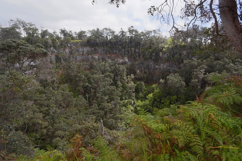 ChallengingPit Crater Trail4.8 mi · 4.5 hr · 0.7 mi awayA steep climb through koa pasture to a forest-filled crater.ModerateThe Glover Trail3.2 mi · 2.5 hr · 1.2 mi awayPasture paths end at a rainforest tucked inside a crater.
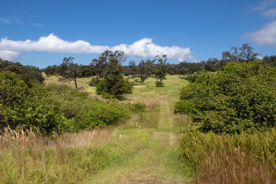 ModeratePalm Trail2.6 mi · 1.5 hr · 1.9 mi awayFollow an 1868 lava fissure through old ranchland and open pasture.
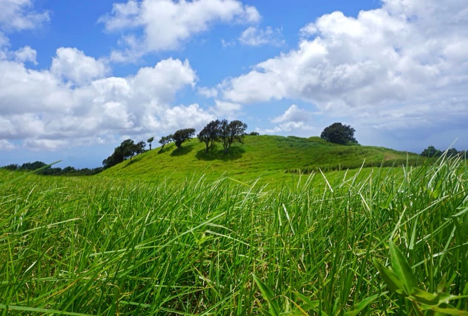 EasyKamakapaʻa Trail0.5 mi · 25 min · 2.9 mi awayA grassy half-mile loop to a small cone and wide Kaʻū views
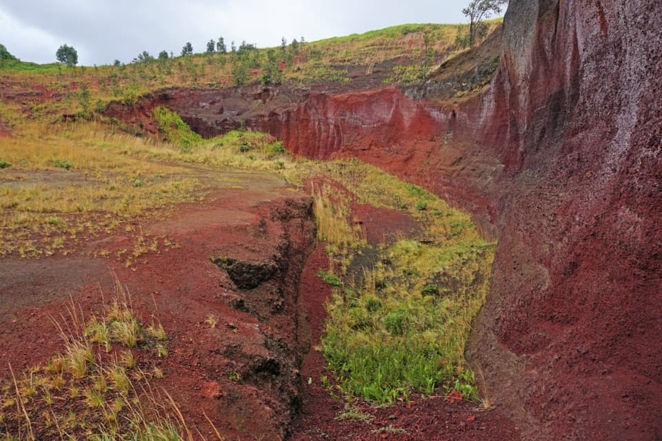 ModeratePuʻu o Lokuana Trail2 mi · 1.5 hr · 3.3 mi awayA ranch-road loop through a green kīpuka and red cinder cone.
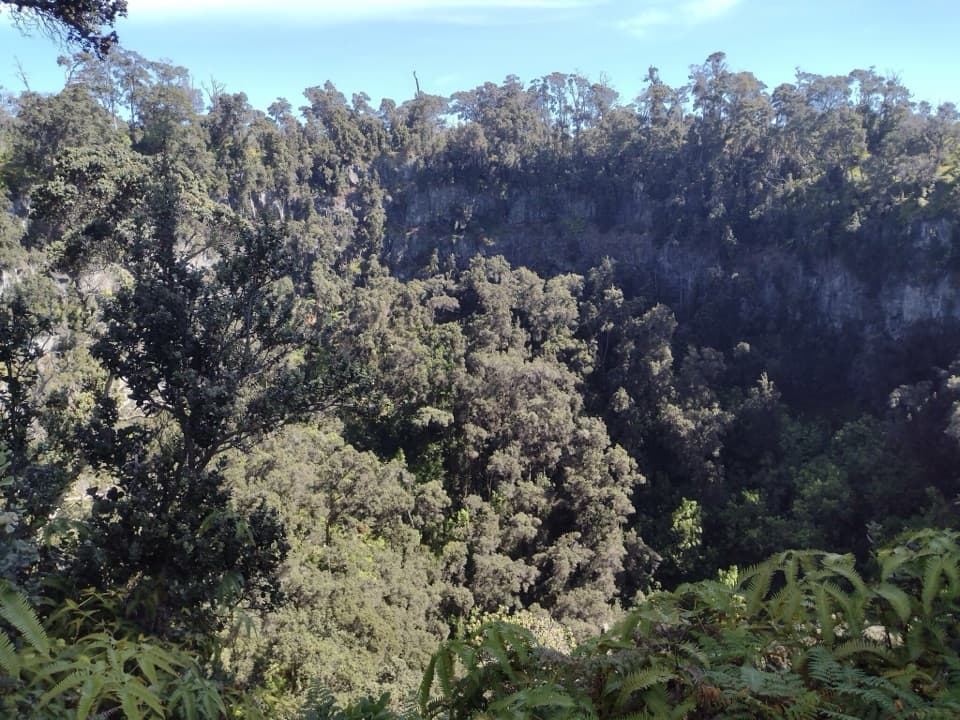 Sight · 1.7 mi awayForested Pit CraterA long hike to the forest sheltered inside a steep crater.
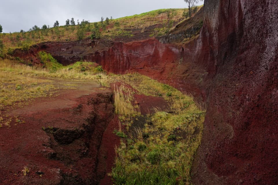 Sight · 3.3 mi awayPuʻu o LokuanaA steep little climb to red cinders and the Kaʻū coast.
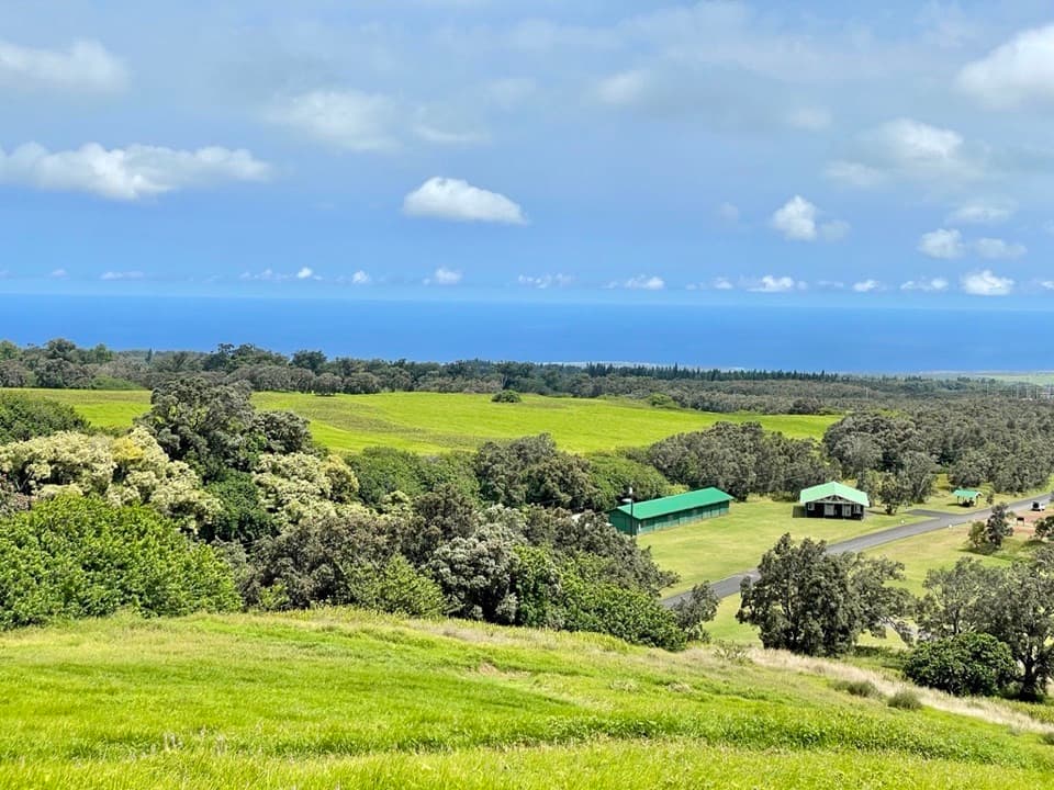 Visitor center · 3.4 mi awayKahuku Visitor Contact StationA useful stop before Kahuku's fields, ranchland and volcanic trails.
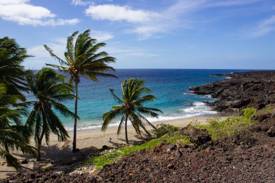 Sight · 9.9 mi awayPōhue BayAn ancient coast preserved for its archaeology and endemic wildlife.
Parkwolf’s Hawaiʻi Volcanoes ranking

The audio tour guide for the drive, plus offline maps, trails, and wildlife heatmaps for when the signal drops.