Parking
Start at Lower Palm Trailhead in the Kahuku Unit. The loop returns from Upper Palm downhill on Kahuku Road; the unit has limited open days and hours, so check the current schedule before visiting.
Hawaiʻi Volcanoes National Park, HI
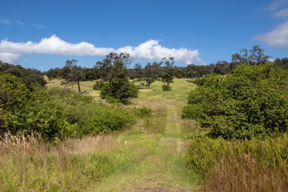
Follow an 1868 lava fissure through old ranchland and open pasture.
Overview
Palm Trail is a 2.6-mile loop in the Kahuku Unit, climbing from Lower Palm Trailhead to Upper Palm Trailhead through pasture and Mauna Loa’s 1868 lava features, then returning downhill on Kahuku Road. Plan one to two hours; the National Park Service rates it moderate. The hike works well if you want a short route with a mix of open ranchland and rough volcanic ground, rather than a long wilderness walk.
 Parkwolf’s verdictIs this the loop for you?
Map & elevation
Plan your hike

The highest, rockiest slopes around here are a summer buffet for grizzly bears.
Hawaiʻi Volcanoes Tour Guide
Parkwolf is a GPS audio tour guide for Hawaiʻi Volcanoes National Park. As you drive, it chimes in with what’s ahead: hidden gems, upcoming stops, history, geology, and wildlife, right through your car’s speakers.
See the Hawaiʻi Volcanoes audio tourRecorded for this trailhead
Palm Trail: Pasture and an 1868 Lava Channel“You're nearing Lower Palm Trailhead, where a moderate loop takes you through open pasture and across Mauna Loa's eighteen sixty-eight eruption fissure and lava channel.”
Plays as you drive up to this trailhead in the Parkwolf Hawaiʻi Volcanoes Tour Guide.
More stories near here in the app
“Fantastic app with many points of information… It’s great to just turn on while you’re driving and it gives you an audio tour of the national Park. We love it!!!!”


Trail guide
Start at Lower Palm Trailhead and take the named trail uphill to Upper Palm Trailhead. The mapped Palm Trail section is about 1.8 miles; the roughly 0.8-mile road return is part of the hike, not an optional extra. Keep that in mind when comparing it with descriptions of the uphill section alone. The trail is open to hikers and cyclists, so share the path and give each other room.
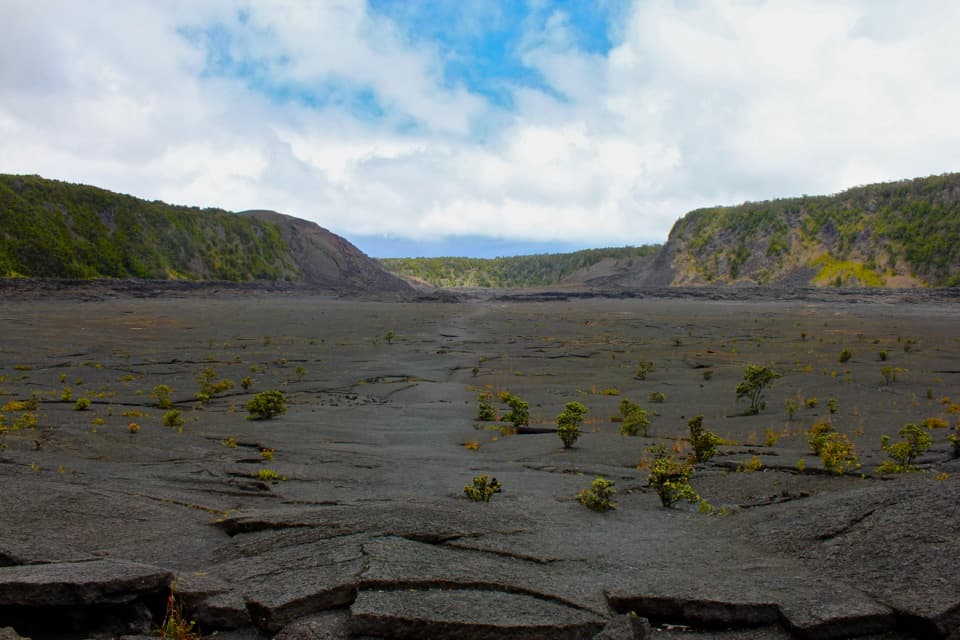
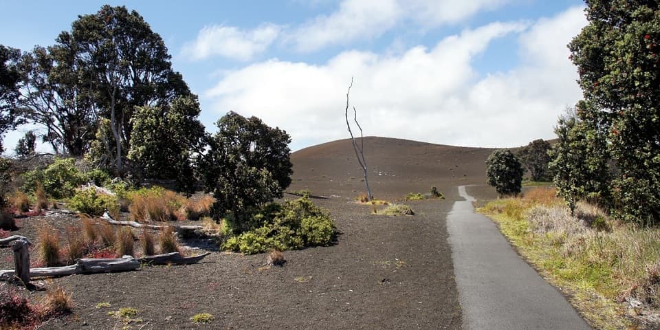
The route crosses Mauna Loa’s 1868 fissure and main lava channel. Flow-field ground can be uneven, unstable, and razor-sharp, with deep cracks; stay on the marked route rather than wandering out for a closer look. Wear sturdy footwear and bring water and a snack for the walk.
The Kahuku landscape carries more than 150 years of ranching history, and Palm Trail moves through open pasture before cutting across the dark 1868 lava features. Where the view opens, frame a little pasture and lava together: that contrast is what makes the landscape legible in a photo. The lava channel and fissure are route features, not a separate side trip.
Begin at Lower Palm Trailhead in the Kahuku Unit; after reaching Upper Palm, follow Kahuku Road downhill to return to your vehicle. Kahuku is open only on limited days and hours, so check the current schedule before driving over.
Wildlife
 600 sightingsHawaiian Goose (Nēnē)Most seen around 5 PMSighting map
 35 sightingsGreen Sea TurtleMost seen around 11 AMSighting map
 36 sightingsHawaiian Hawk ('Io)Most seen around 11 AMSighting map
 41 sightingsBlack NoddyMost seen around 5 PMSighting map
 96 sightingsWhite-tailed TropicbirdMost seen around noonSighting map
 24 sightingsHawai'i 'ElepaioMost seen around 8 AMSighting map
Sighting maps show where each species has been reported across Hawaiʻi Volcanoes. Wildlife moves, so no sighting is guaranteed.
Keep exploring
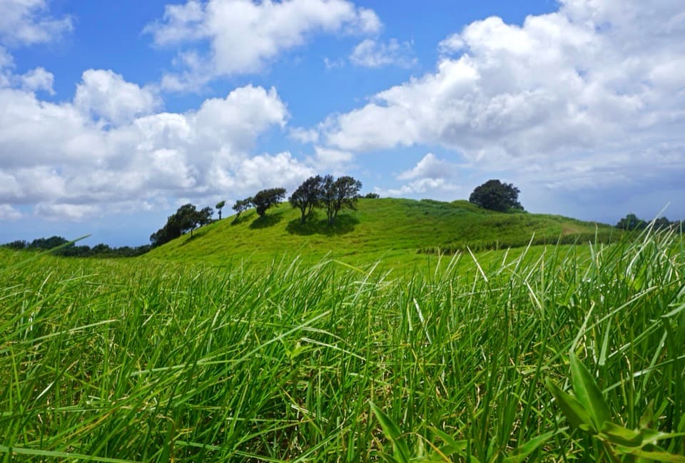 EasyKamakapaʻa Trail0.5 mi · 25 min · 1.1 mi awayA grassy half-mile loop to a small cone and wide Kaʻū views
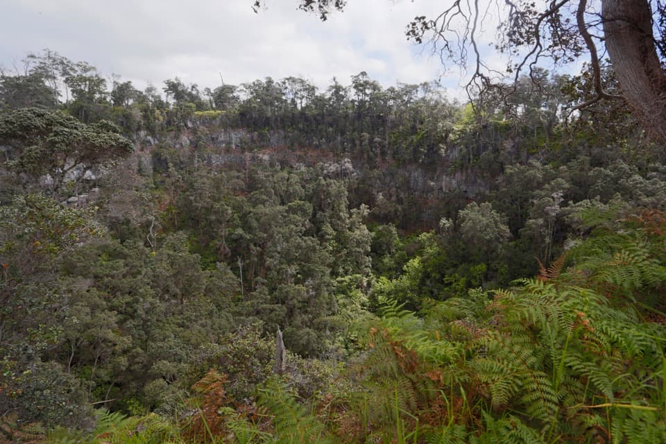 ChallengingPit Crater Trail4.8 mi · 4.5 hr · 1.2 mi awayA steep climb through koa pasture to a forest-filled crater.
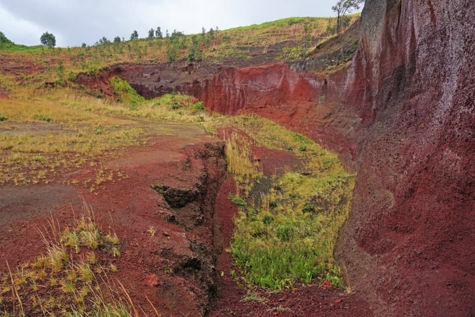 ModeratePuʻu o Lokuana Trail2 mi · 1.5 hr · 1.5 mi awayA ranch-road loop through a green kīpuka and red cinder cone.
 ChallengingKona Trail7 mi · 4 hr · 1.9 mi awayA full 7-mile outing through Kahuku pasture and 1887 lava.ModerateThe Glover Trail3.2 mi · 2.5 hr · 3 mi awayPasture paths end at a rainforest tucked inside a crater.
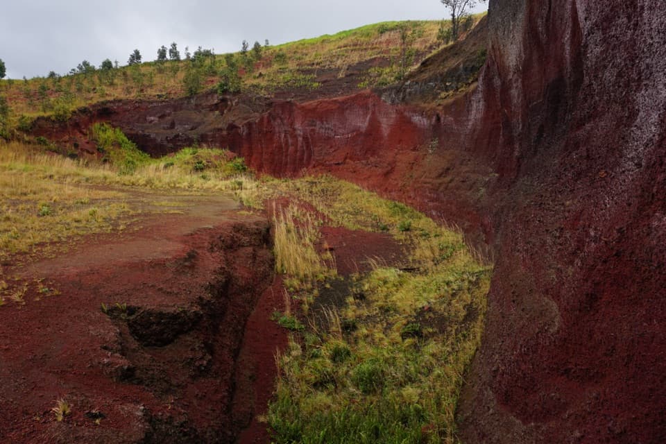 Sight · 1.5 mi awayPuʻu o LokuanaA steep little climb to red cinders and the Kaʻū coast.
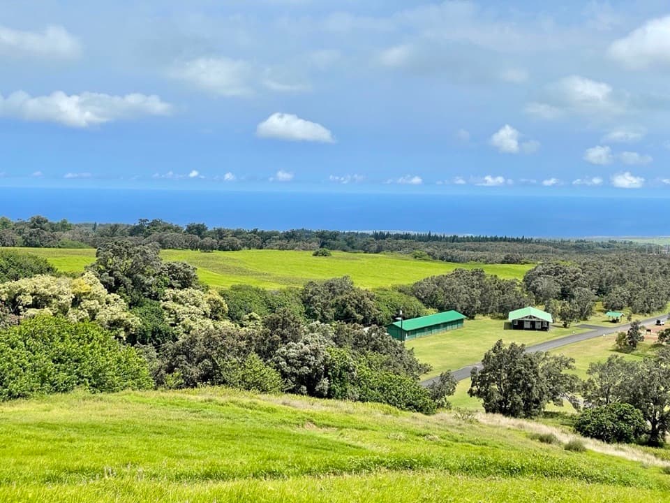 Visitor center · 1.6 mi awayKahuku Visitor Contact StationA useful stop before Kahuku's fields, ranchland and volcanic trails.
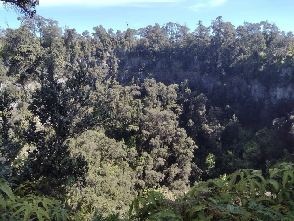 Sight · 3.3 mi awayForested Pit CraterA long hike to the forest sheltered inside a steep crater.
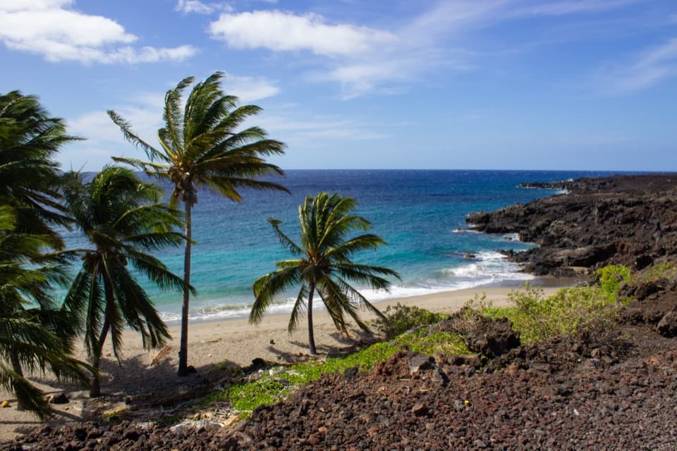 Sight · 9.5 mi awayPōhue BayAn ancient coast preserved for its archaeology and endemic wildlife.
Parkwolf’s Hawaiʻi Volcanoes ranking
The audio tour guide for the drive, plus offline maps, trails, and wildlife heatmaps for when the signal drops.