Fish Lakes via North Molar Pass in Icefields Parkway (Highway 93)

Icefields Parkway (Highway 93), AB

Fish Lakes via North Molar Pass

Cross a high pass to camp beside remote alpine lakes

Length
30km
Time
13.5hr
Elev. change
746m
Difficulty
Challenging
  • Dogs allowed
  • High point 2,579 m

Hear the audio tour

Mosquito Creek: Camp, Hostel and Creekside Walk

Overview

About Fish Lakes via North Molar Pass

Why go

  • Broad wildflower meadows and views from a high pass
  • A lakeside backcountry camp beside Upper Fish Lake

Heads up

  • Rooty, muddy approach and a potentially deep stream crossing
  • The full return is about 30 km and best treated as an overnight

Map & elevation

The route

Loading the Icefields Parkway map
Full map
Elevation1,833–2,579 m
TrailheadMosquito Creek Trailhead, Highway 93 North51.62920, -116.32846
Keep this map with you offline in the Parkwolf app

Plan your hike

Before you go

Parking

Park in the Mosquito Creek Campground driveway on the west side of Highway 93, then cross the highway to the trail access just north of the creek bridge. Parks Canada prohibits roadside parking; the exact designated hiker stall and fee were not confirmed.

Best time to go

High trails may hold snow into late June, and stream flows are highest in June and July. Golden larches appear around Fish Lakes in autumn. Overnight at Mo18 only with a reserved backcountry permit. Dogs may join under the park’s regular summer trail rules, but must stay leashed and under physical control.

Safety

The route crosses a high alpine pass with a loose, braided rocky climb. A stream below the pass can require wading; a downstream bridge is reported but unverified. Keep dogs leashed and under physical control. Overnight at Mo18 requires an advance reservation and backcountry permit.

2 active Icefields Parkway alerts

  • ClosureWildfire-impacted area closures in JasperStay out of the closed wildfire-impacted areas in Jasper National Park; access is prohibited or restricted to protect public safety.Official details
  • ClosureOpal Hills hiking area closed for grizzly bearThe Opal Hills hiking area is closed because a female grizzly bear with two offspring is in the area. - The closure took effect September 25, 2026, and remains in effect until further notice.Official details
Icefields Parkway alerts
A park ranger sits on a dash-mounted phone, talking, as Parkwolf’s Tour Guide plays “Army Cutworm Moths: A Grizzly Bear Buffet” on Grand Loop Road below Dunraven Pass in Yellowstone
Parkwolf Tour GuideThe highest, rockiest slopes around here are a summer buffet for grizzly bears.

Icefields Parkway Tour Guide

Your drive to Fish Lakes via North Molar Pass, narrated.

Parkwolf is a GPS audio tour guide for Icefields Parkway (Highway 93). As you drive, it chimes in with what’s ahead: hidden gems, upcoming stops, history, geology, and wildlife, right through your car’s speakers.

See the Icefields Parkway audio tour

Recorded for this trailhead

Mosquito Creek: Camp, Hostel and Creekside Walk
0:00 / 0:36
“You're approaching Mosquito Creek, a stop to consider if you're looking for a basic overnight base.”

Plays as you drive up to this trailhead in the Parkwolf Icefields Parkway Tour Guide.

More stories near here in the app

  • The Cloud That Stays Put
  • Fireweed Flowers from the Bottom Up
  • The Conifer That Turns Gold
  • Hector Lake Viewpoint: A Distant Glimpse
  • 141 audio storiesacross Icefields Parkway’s roads, triggered by GPS as you drive
  • Wildlife heatmapsfor Grizzly Bear, Black Bear, Moose, and 13 more
  • Works offlinemaps, 54 trails, 57 places, and audio download before you lose signal
  • CarPlay readysimple controls built for the drive
★★★★★
“Fantastic app with many points of information… It’s great to just turn on while you’re driving and it gives you an audio tour of the national Park. We love it!!!!”
JMJamesApp Store review
Download Parkwolf on the App StoreGet Parkwolf on Google Play

4.7 from 8,600+ ratings

Trail guide

Hiking Fish Lakes via North Molar Pass

The tripThis is an 18.

This is an 18.6-mile out-and-back from the Mosquito Creek trailhead to the Fish Lakes campground, crossing North Molar Pass; it is about 9.3 miles each way. The outbound route gains roughly 780 m and drops about 420 m before reaching the lakes. Returning means climbing back over the pass. Budget about 13.5 hours of walking across two days and treat Mo18 as an overnight stop, rather than trying to force the whole return into one long day. A backcountry permit and advance reservation are required if you camp overnight.

Up Mosquito CreekThe trail starts across Highway 93 from Mosquito Creek Campground, climbs steeply beside the…

The trail starts across Highway 93 from Mosquito Creek Campground, climbs steeply beside the creek, then eases into open conifer forest. A clearing on this approach is a trace of the Wonder Road, an early precursor to the Icefields Parkway. Around 5 km in, Mosquito Creek backcountry campground sits among boulders. Beyond it the trail crosses the creek and turns rougher, with braided tread, roots, muddy patches and sections that follow the streambed. At the junction about 2.5 km beyond the campground, take the left branch for North Molar Pass; the right branch leads to Molar Pass instead.

Molar Meadows and the passThe North Molar branch climbs steeply on loose, rocky, braided tread before opening into wide…

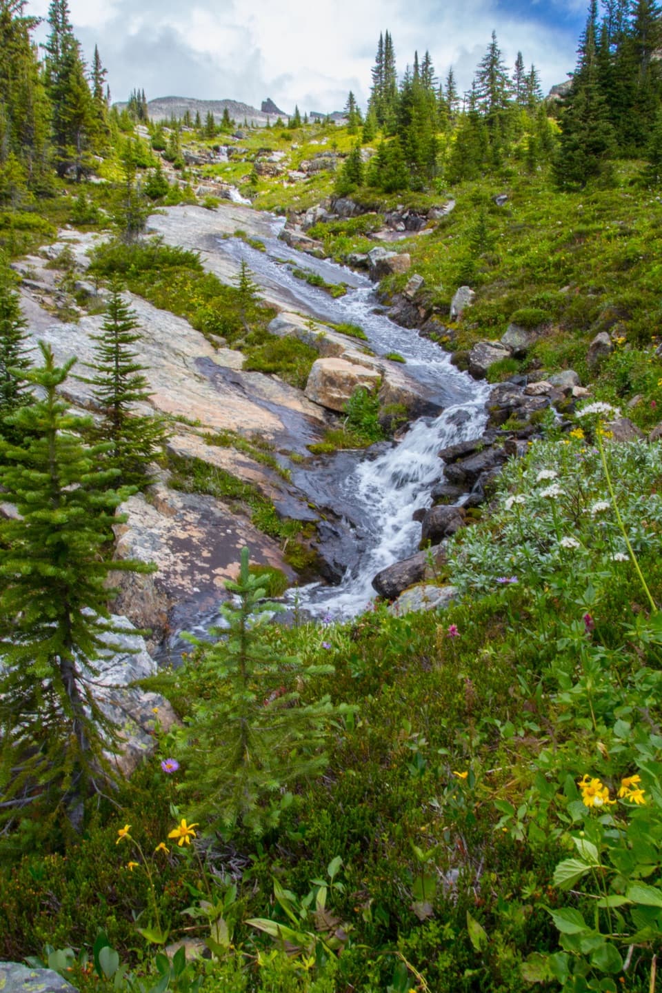
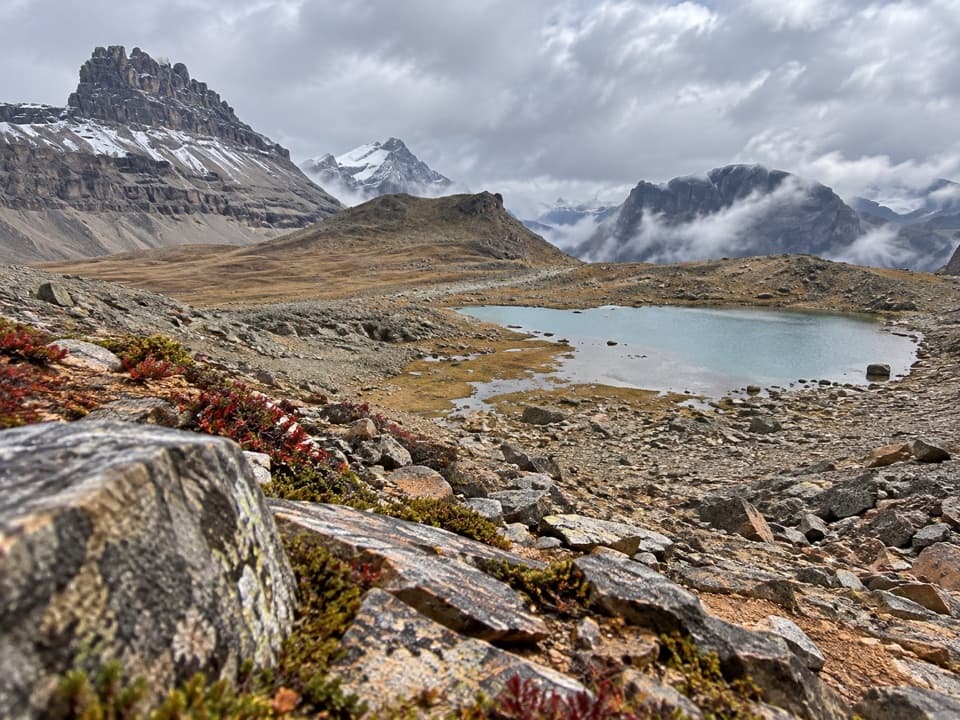
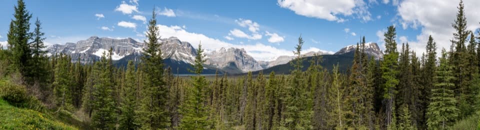
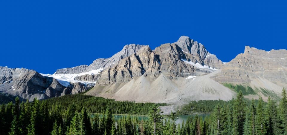
The North Molar branch climbs steeply on loose, rocky, braided tread before opening into wide alpine meadows. The grade eases through tarns and streams toward Mosquito Lake, then rises to the pass at about 2,590 m. Dolomite Mountain fills the western view, while Molar Mountain and the Fish Lakes valley open to the south. Wildflowers are a highlight in summer, especially around the meadows.

Down to Fish LakesAfter the pass, the route crosses more meadow beneath the surrounding peaks, then descends to…

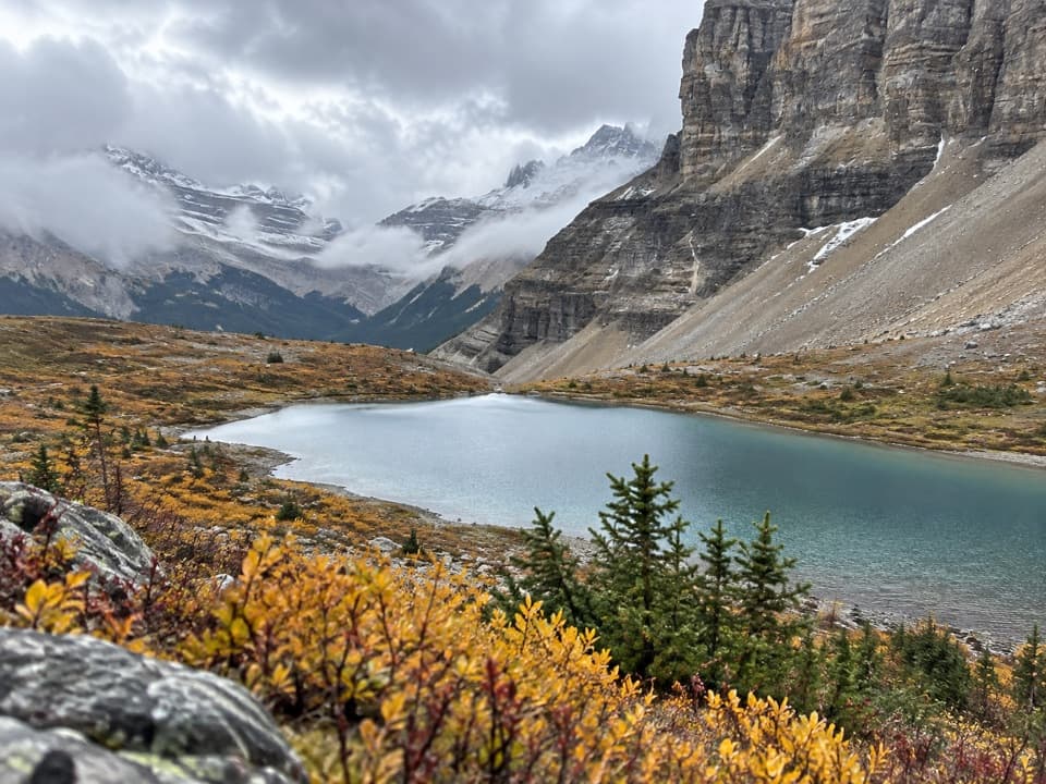
After the pass, the route crosses more meadow beneath the surrounding peaks, then descends to Mo18 on the north shore near the eastern end of Upper Fish Lake. A stream near the bottom can be too deep to rock-hop; a downstream bridge is mentioned, but its location and current condition are not confirmed, so be ready for a wade. Mo18 has five tent sites, picnic tables, a bear pole and an outhouse. Lower Fish Lake is about 0.9 km beyond Upper Fish Lake and is a separate extension. From the upper lake, autumn larches along the shore make a strong frame with the surrounding peaks.

Wildlife

Wildlife in Icefields Parkway

All Icefields Parkway wildlife maps

Sighting maps show where each species has been reported across Icefields Parkway. Wildlife moves, so no sighting is guaranteed.

Keep exploring

Near Fish Lakes via North Molar Pass

See it all on the map

Trails that start nearby

Places near the trailhead

Parkwolf’s Icefields Parkway ranking

Top-rated trails in Icefields Parkway

All 54 trails
  1. 1Parker Ridge TrailModerate · 5.6 km
  2. 2Peyto Lake Lookout TrailEasy · 1.2 km
  3. 3Wilcox PassModerate · 6.8 km
  4. 4Bow Glacier Falls TrailModerate · 9.1 km
  5. 5Helen Lake TrailModerate · 11.8 km
  6. 6Path of the Glacier TrailModerate · 1.6 km

Take Parkwolf to Icefields Parkway.

The audio tour guide for the drive, plus offline maps, trails, and wildlife heatmaps for when the signal drops.

4.7 from 8,600+ ratings

Download Parkwolf on the App StoreGet Parkwolf on Google Play