Parking
Start at Bunyeroo car park on Bunyeroo Gorge Road. The approach uses unsealed park roads that can change with weather; a high-clearance 2WD is suitable for public roads.
#5 of 21 trails in Ikara-Flinders Ranges
Ikara-Flinders Ranges National Park, SA
A rocky creek-bed wander beneath gum-lined gorge walls.
Overview
Map & elevation
Plan your hike

The highest, rockiest slopes around here are a summer buffet for grizzly bears.
Ikara-Flinders Ranges Tour Guide
Parkwolf is a GPS audio tour guide for Ikara-Flinders Ranges National Park. As you drive, it chimes in with what’s ahead: hidden gems, upcoming stops, history, geology, and wildlife, right through your car’s speakers.
Recorded for this trailhead
Bunyeroo Gorge and Twin Gums“You're approaching Bunyeroo Gorge. Its walk follows a broad creek bed beneath gum trees and rugged rock, the same natural passage bullock teams once used to carry copper, mail and produce toward the western plains.”
Plays as you drive up to this trailhead in the Parkwolf Ikara-Flinders Ranges Tour Guide.
More stories near here in the app
“Fantastic app with many points of information… It’s great to just turn on while you’re driving and it gives you an audio tour of the national Park. We love it!!!!”


Trail guide
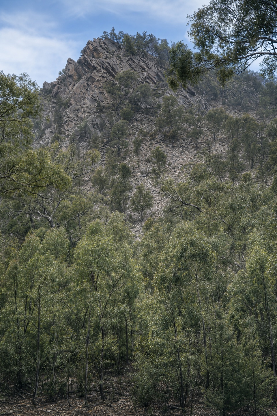
Bunyeroo Gorge Hike is a 7.5-kilometre return walk from Bunyeroo car park, following the broad creek bed through a wide, gum-lined gorge framed by rugged rock formations. It’s an out-and-back on the same corridor, not a circuit. Think of it as a slow wander beneath the gorge walls, rather than a walk to a single named lookout or summit. The main draw is the scale and shape of the place: a broad valley floor, gums along the creek line, and rough rock faces on either side. If you enjoy natural landscape more than a built track or a big end-point payoff, this is a strong choice.
It’s graded moderate and the terrain is flat, but allow around three and a half hours for the full return. That time suits a creek-bed route where your feet need attention and the walking is unhurried; don’t treat “flat” as a promise of smooth footing.
Start at Bunyeroo car park and head west along the named gorge track. For much of the route, the “track” is the broad creek bed itself; expect uneven, rocky ground rather than a constructed surface underfoot. The mapped corridor runs about 3.7 km one way, close to half the 7.5 km return distance, then you retrace the same line to the car park. The mapped walk has no documented named destination at its far end; the gorge itself is the payoff, and the way back is the same corridor. Look up from your footing now and then to see the rock walls and gums from the other direction.
The gorge has long been a route through this country. In the 19th century, bullock teams and coaches carried copper, mail and produce through it to reach the western plains. That history fits the walk: the creek bed offers a broad passage through rugged country, and today you follow the same natural corridor on foot. It gives the route a little more to notice than rock walls alone. Where the trees open a view of the rock, frame a nearby gum trunk or canopy against the walls to give the landscape scale; there’s no reason to leave the route for a photo.
The start is Bunyeroo car park, reached from the park road network via Bunyeroo Gorge Road. The approach uses unsealed park roads that can change with weather; a high-clearance 2WD is suitable for public roads. Dogs are not permitted in the national park, though assistance dogs are allowed when appropriately restrained and under control. There’s no separate shorter loop or alternate start in the route information, so plan for the complete return rather than expecting a quick circuit or viewpoint spur. The 7.5 km figure includes the walk back even though the mapped line follows the creek corridor only once.
Wildlife
 68 sightingsWedge-tailed EagleMost seen around 10 AMSighting map
 104 sightingsShort-beaked EchidnaMost seen around 6 PMSighting map
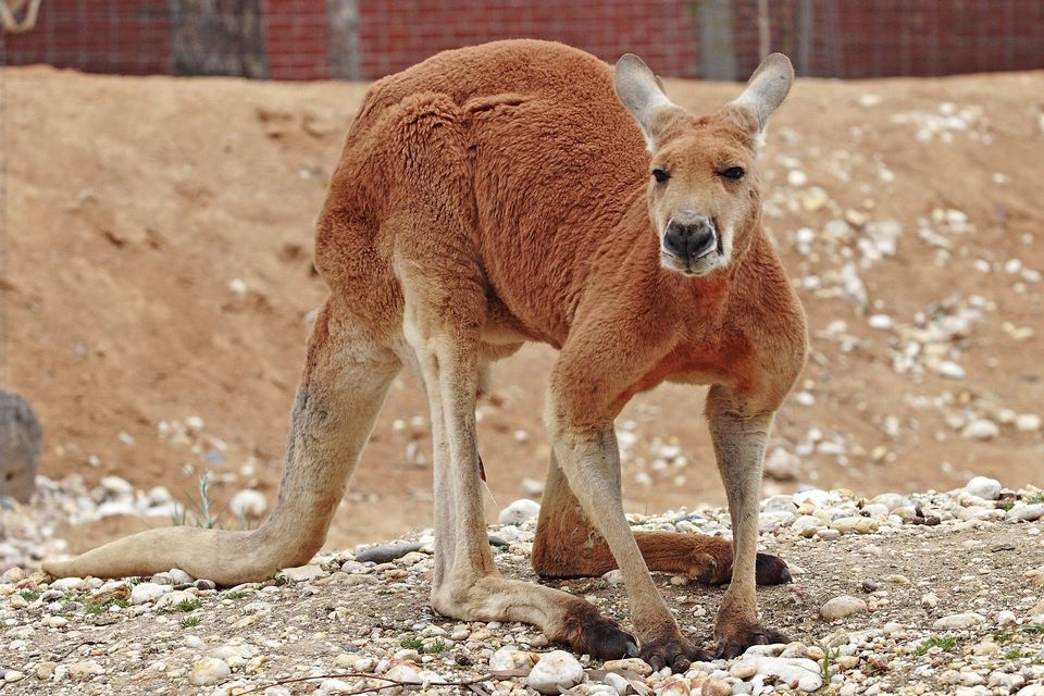 64 sightingsRed KangarooMost seen around 5 PMSighting map
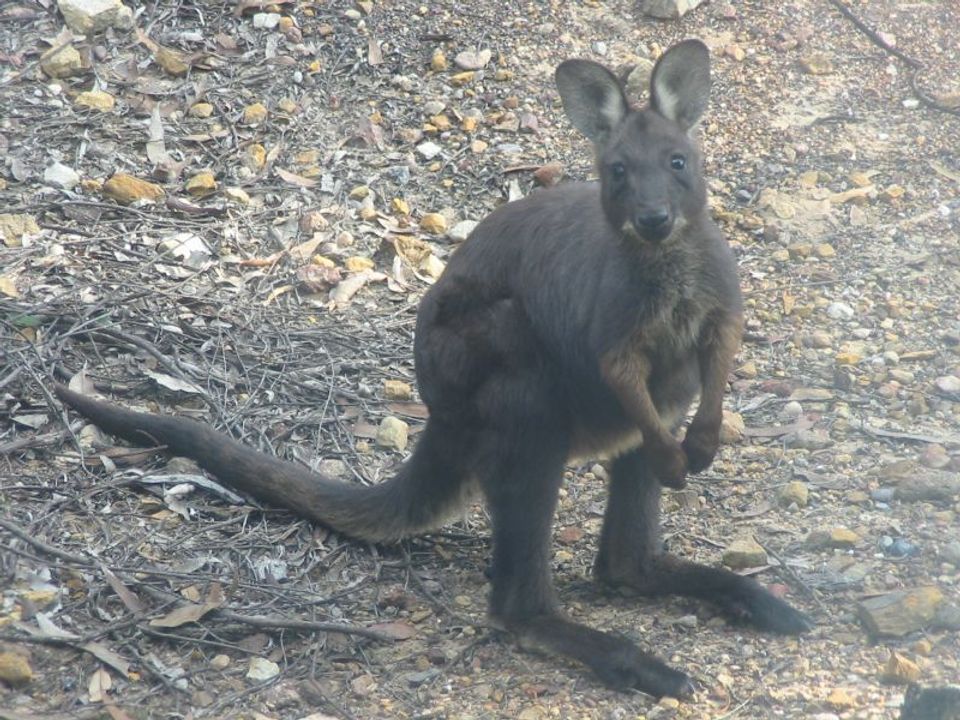 219 sightingsCommon WallarooMost seen around 6 PMSighting map
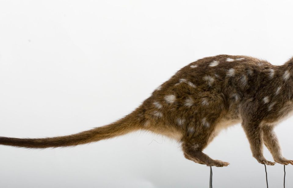 55 sightingsWestern QuollMost seen around 6 PMSighting map
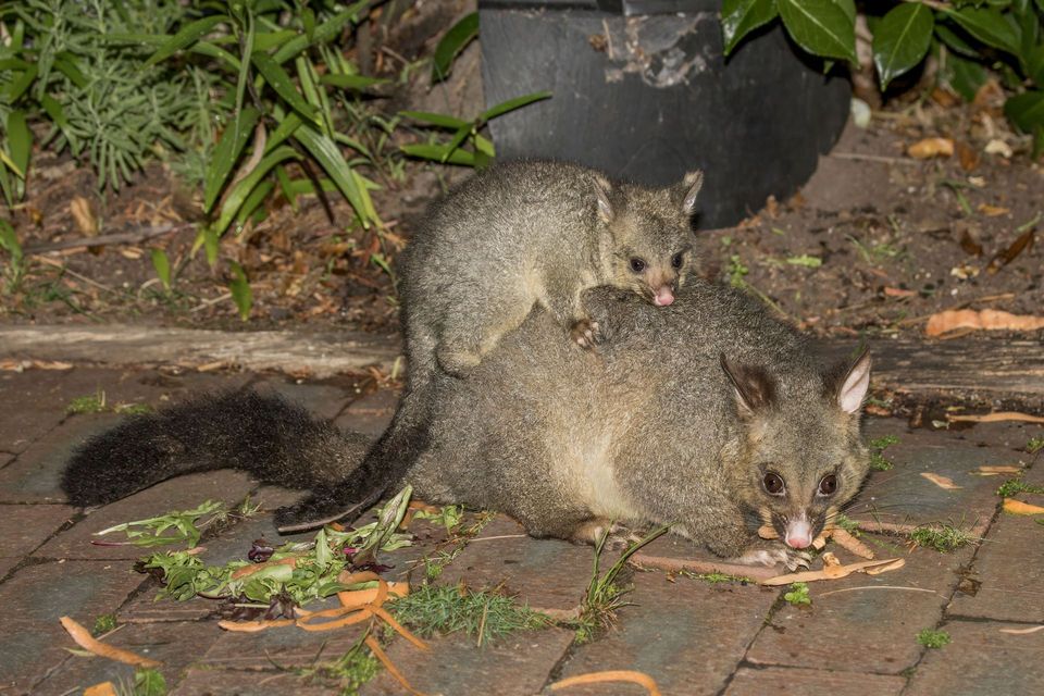 47 sightingsCommon Brushtail PossumMost seen around 6 PMSighting map
Sighting maps show where each species has been reported across Ikara-Flinders Ranges. Wildlife moves, so no sighting is guaranteed.
Keep exploring
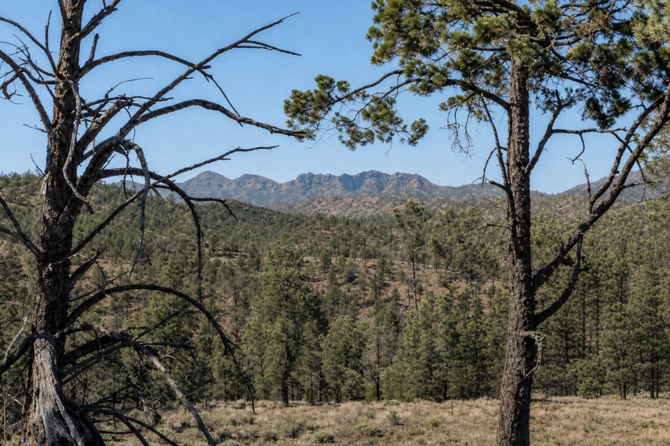 ModerateBunyeroo and Wilcolo Creeks Hike9.2 km · 5 hr · At the trailheadCreek crossings, a quartzite gorge, and a framed hilltop view.
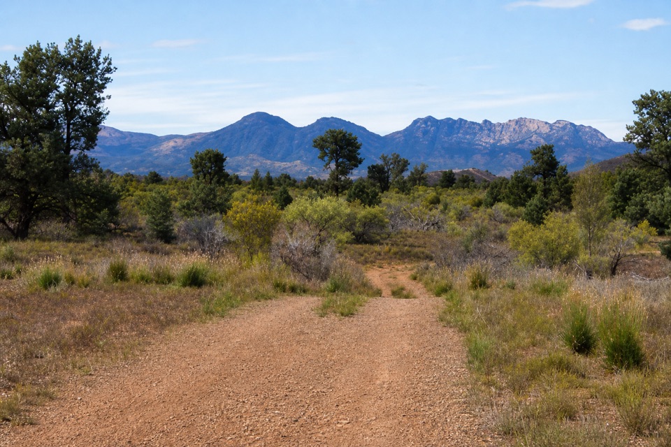 ModerateHeysen Trail Section 59: Bunyeroo to Trezona15 km · 4.5 hr · 1.6 km awayA long walk through old hut country and wide Flinders Ranges views.
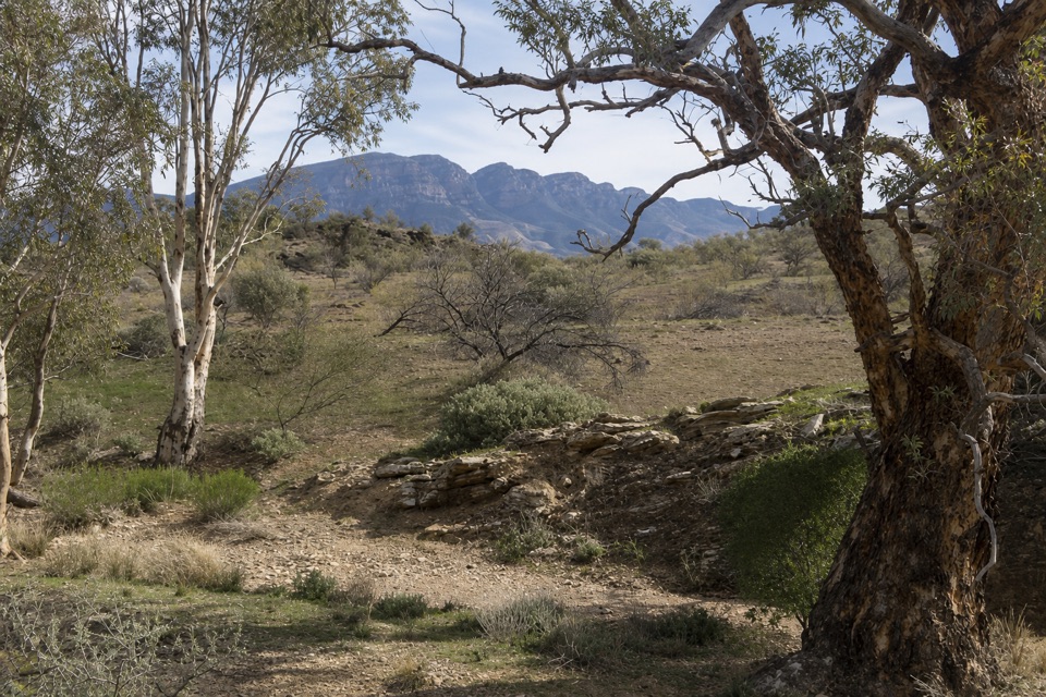 ModerateTrezona Hike8.2 km · 4 hr · 11.6 km awayStromatolites, a Golden Spike and a wide view across the ranges
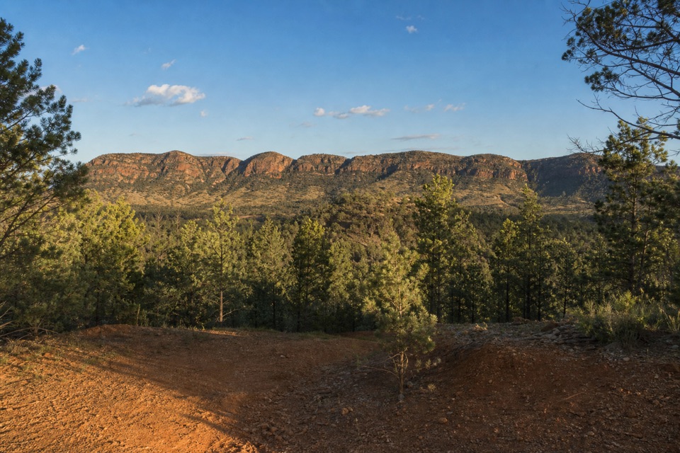 ModerateHeysen Trail Section 60: Trezona to Aroona Hut14.5 km · 3.8 hr · 11.6 km awayA 14.45 km Heysen section climbs from Trezona to Aroona Hut.
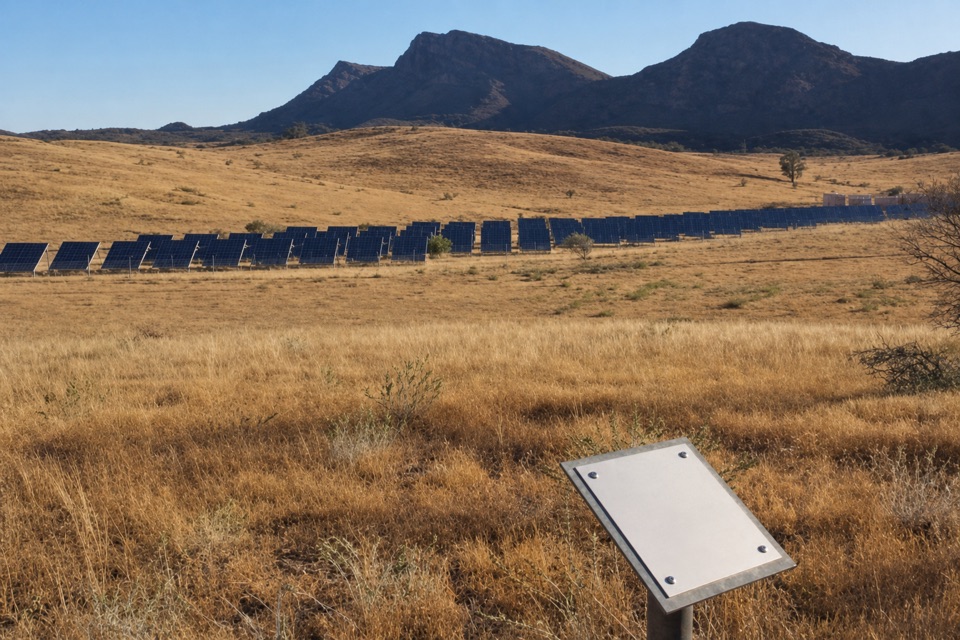 EasyWilpena Solar Power Station Walk1 km · 30 min · 12.7 km awayA quick lookout over the solar array that powers Wilpena.
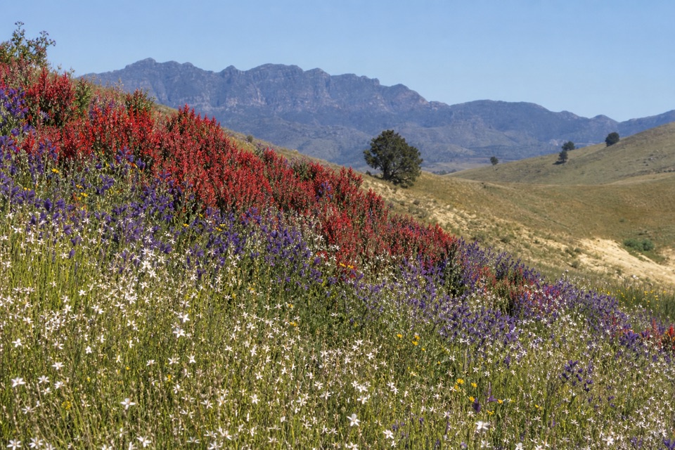 ModerateHeysen Trail Section 58: Wilpena to Bunyeroo19.2 km · 5.5 hr · 13.1 km awayCross a wooded valley, climb the ABC Range, and finish in Bunyeroo.
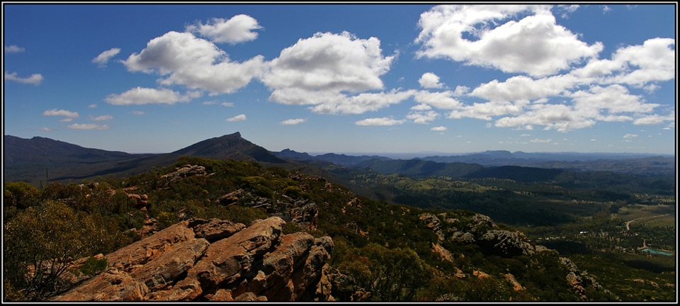 ChallengingMount Ohlssen Bagge Hike7.2 km · 4 hr · 13.1 km awayA steep ridge climb with wide views across Wilpena Pound.
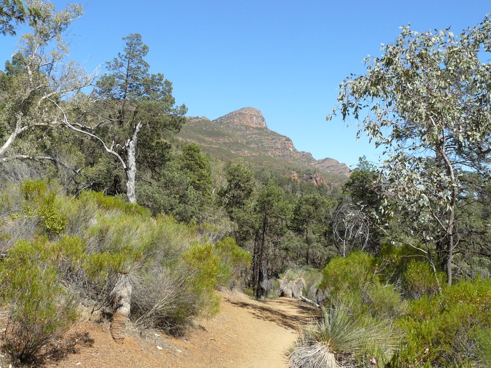 ChallengingSt Mary Peak Hike – Ngarri Mudlanha (Outside Trail to Tanderra Saddle)11.7 km · 5 hr · 13.1 km awayA demanding walk to Tanderra Saddle below St Mary Peak.
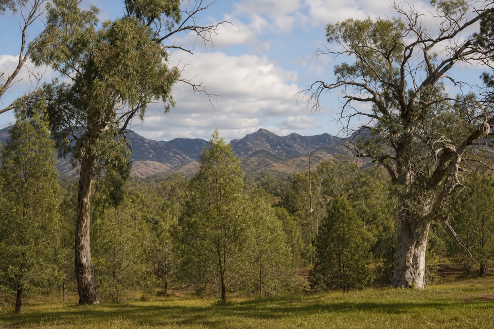 Sight · 0.6 km awayTwin Gums LookoutTwo big gums frame the Heysen Range beside a shaded picnic stop.
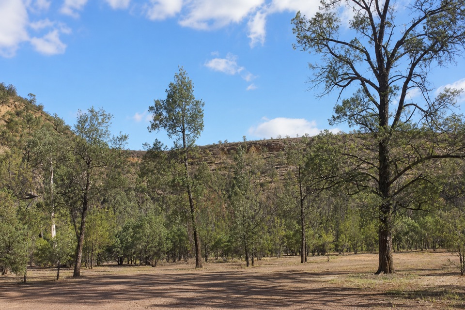 Campground · 0.8 km awayAcraman CampgroundFour sites among native pines, a short walk from Bunyeroo Gorge.
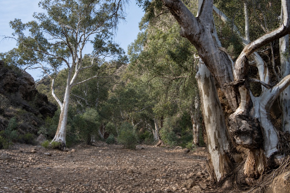 Sight · 1.5 km awayBunyeroo GorgeFollow an old coach route through a gum-lined creek bed.
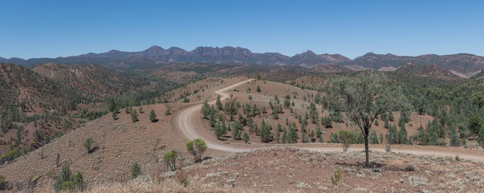 Sight · 2.5 km awayRazorback LookoutThe drive brings you close to Bunyeroo's rugged ridge country.
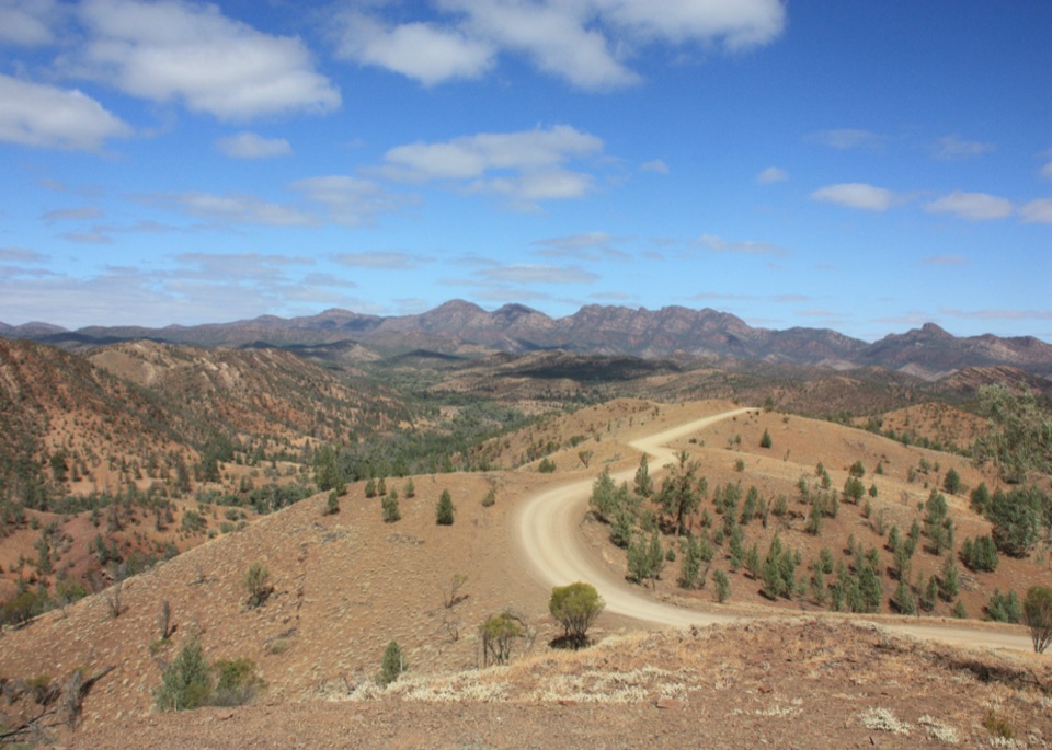 Sight · 3 km awayBunyeroo Valley LookoutA broad first view of the ranges on Bunyeroo Road.
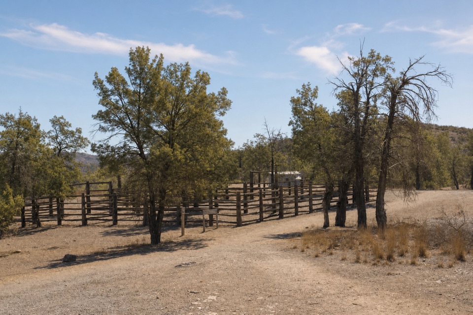 Campground · 3.8 km awayYanyanna HutA rare 1937 iron shelter stands beside the old pastoral stockyards.
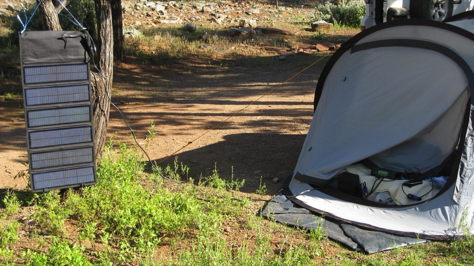 Campground · 7 km awayCambrian CampgroundUnpowered camping among red gums and native pines along a creek line.
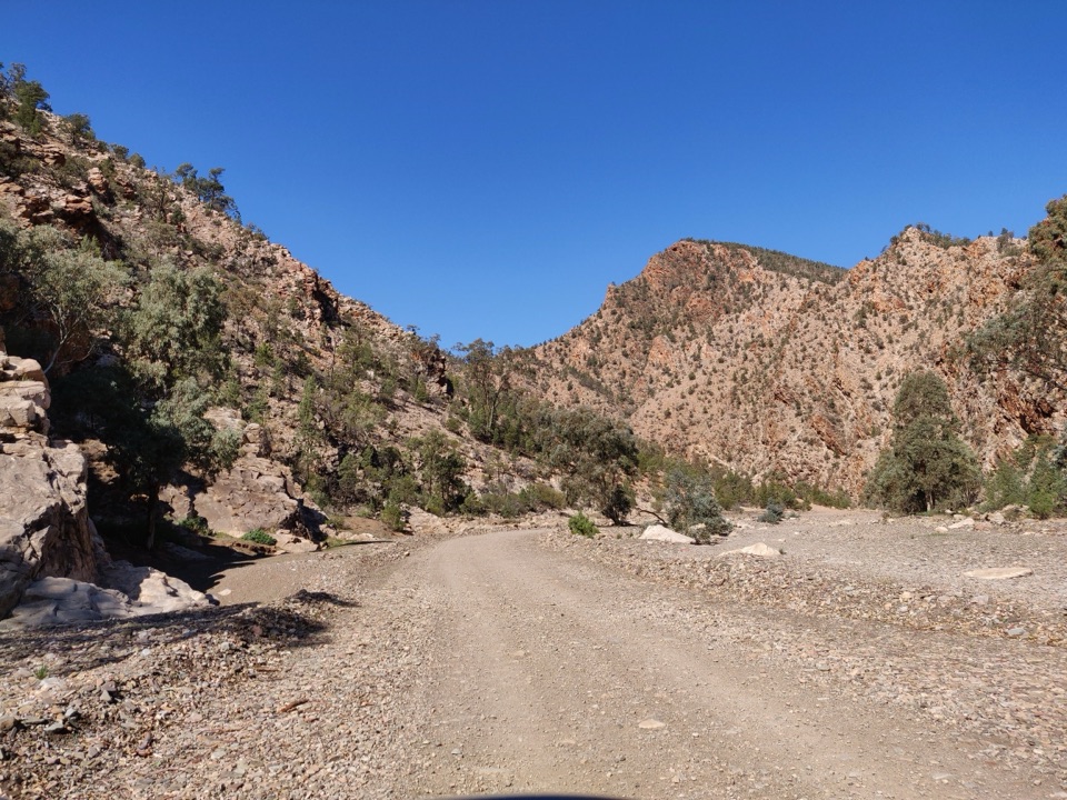 Sight · 7.8 km awayBrachina GorgeA 20 km drive through ancient rock and the Ediacaran story.
Parkwolf’s Ikara-Flinders Ranges ranking
St Mary Peak Hike – Ngarri Mudlanha (Outside Trail to Tanderra Saddle)Challenging · 11.7 km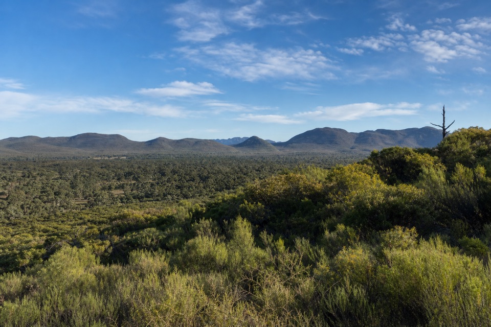 Wangara Lookout HikeModerate · 7.8 kmSt Mary Peak Loop – Ngarri MudlanhaChallenging · 21.5 kmMount Ohlssen Bagge HikeChallenging · 7.2 km
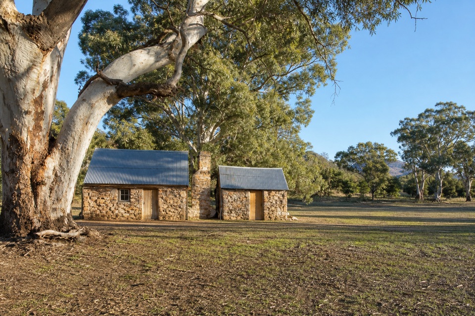 Hills Homestead WalkEasy · 6.6 km
 Bridle Gap HikeModerate · 18.8 km
The audio tour guide for the drive, plus offline maps, trails, and wildlife heatmaps for when the signal drops.