Overview
About Wangara Lookout
Why stop
- Creek, homestead and two lookout platforms make a varied walk.
Heads up
- The upper platform is a 7.8 km return walk, not a quick stop.
Map
Where it is

The highest, rockiest slopes around here are a summer buffet for grizzly bears.
Ikara-Flinders Ranges Tour Guide
Your drive to Wangara Lookout, narrated.
Parkwolf is a GPS audio tour guide for Ikara-Flinders Ranges National Park. As you drive, it chimes in with what’s ahead: hidden gems, upcoming stops, history, geology, and wildlife, right through your car’s speakers.
Recorded for this place
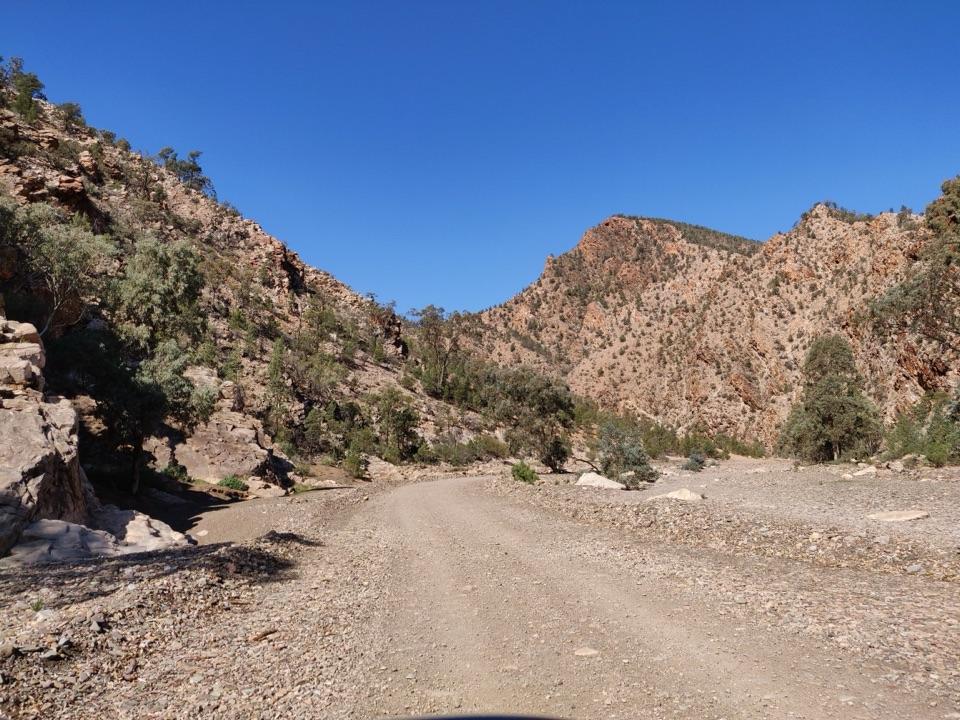
Inside Ikara Wilpena Pound“You're approaching Ikara Wilpena Pound, where a creekside walk takes you through Pound Gap into the mountain-ringed basin.”
Plays as you drive up to Wangara Lookout in the Parkwolf Ikara-Flinders Ranges Tour Guide.
More stories near here in the app
- Wilpena Visitor Centre and Resort
- Ngarri Mudlanha and Tanderra Saddle
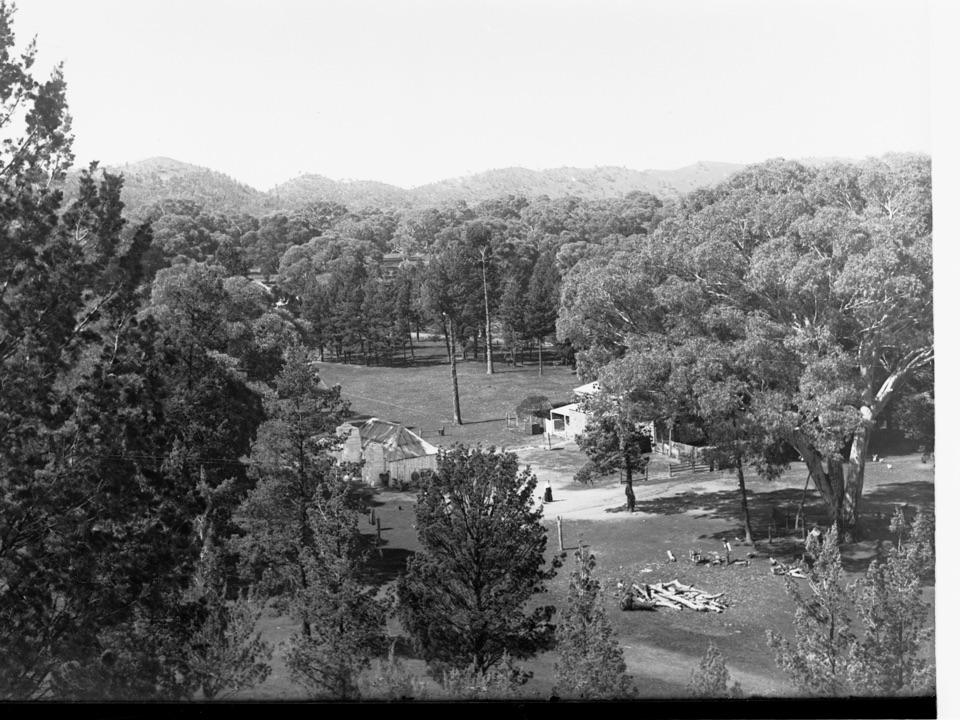
- Cazneaux's Reversed View
- The Trees That Trace Water
- 49 audio storiesacross Ikara-Flinders Ranges’s roads, triggered by GPS as you drive
- Wildlife heatmapsfor Wedge-tailed Eagle, Short-beaked Echidna, Red Kangaroo, and 13 more
- Works offlinemaps, 21 trails, 43 places, and audio download before you lose signal
- CarPlay readysimple controls built for the drive
“Fantastic app with many points of information… It’s great to just turn on while you’re driving and it gives you an audio tour of the national Park. We love it!!!!”


Guide
More about Wangara Lookout
The upper platform is the finishWangara Lookout is the upper of two viewing platforms above Wilpena Pound, reached on foot from…
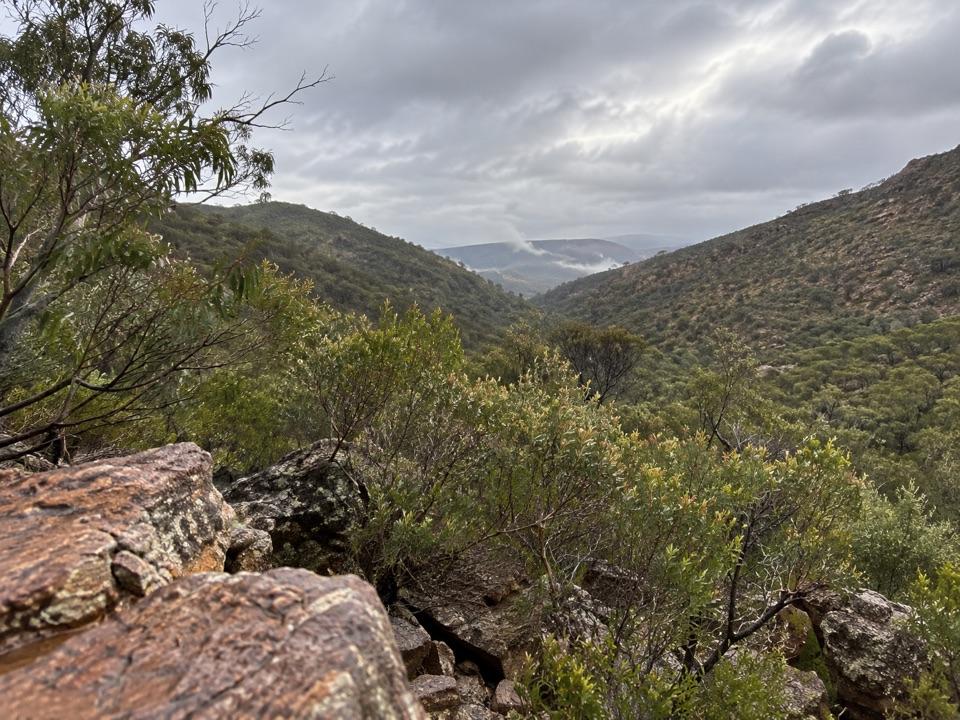
Wangara Lookout is the upper of two viewing platforms above Wilpena Pound, reached on foot from the Wilpena Visitor Centre. The route follows Wilpena Creek through Pound Gap, passes Hills Homestead and the lower lookout, then climbs to the upper platform for a view back into the Pound. This is a half-day outing, not a roadside stop. If you have time for one longer walk at Wilpena, this route is a strong choice: it strings a creekside walk, a homestead stop, and two views into one outing. The lower platform is another 300 metres before the upper; if time or energy runs short, it is a reasonable place to turn around.
Creek, homestead, then the rimThe first stretch follows Wilpena Creek beneath tall river red gums and native pines and passes…
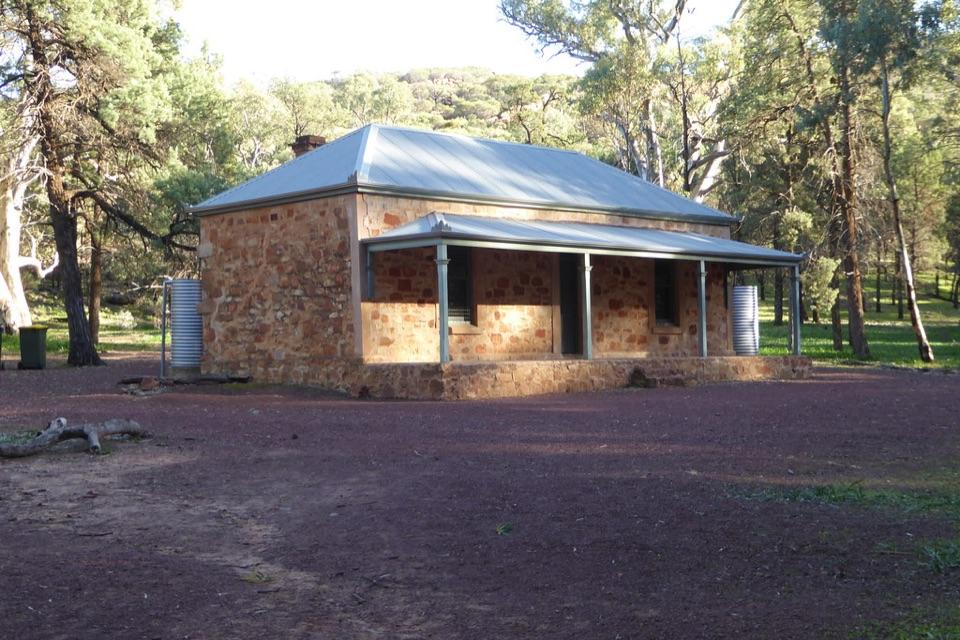
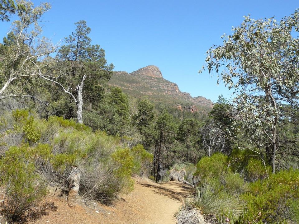
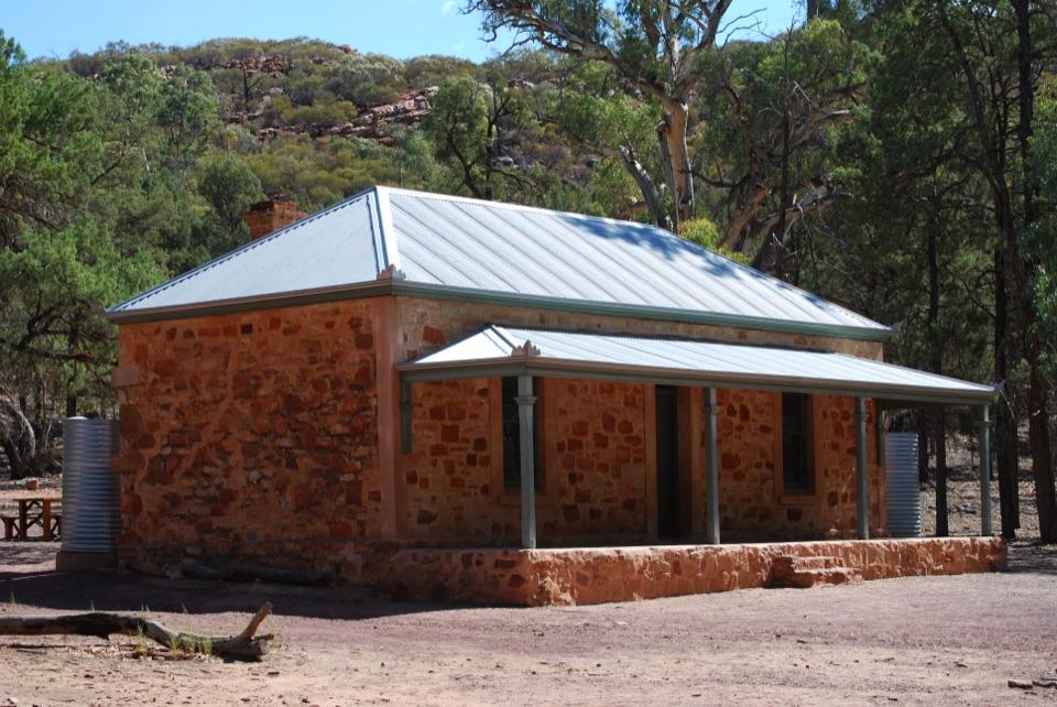
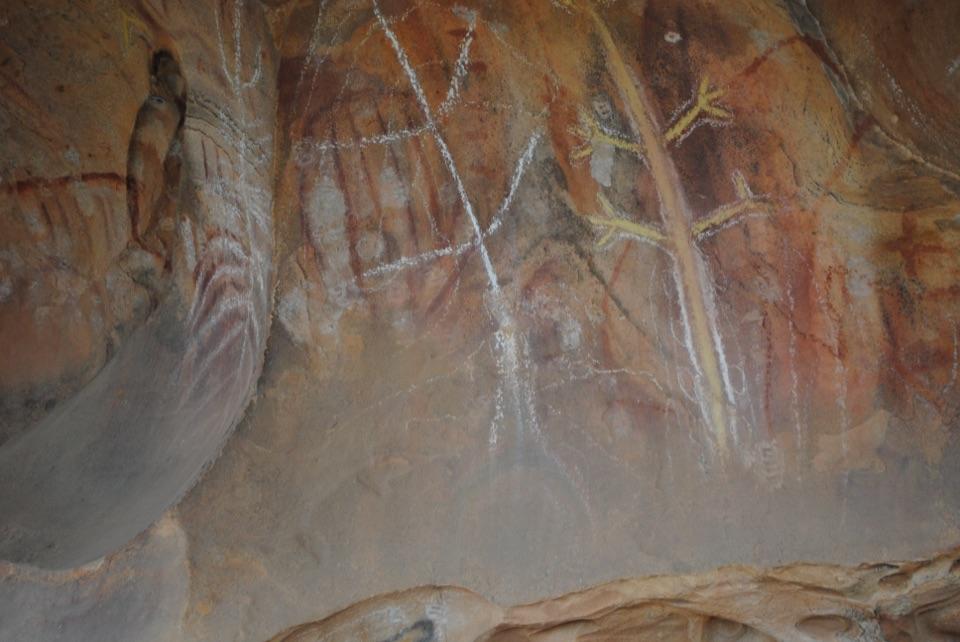
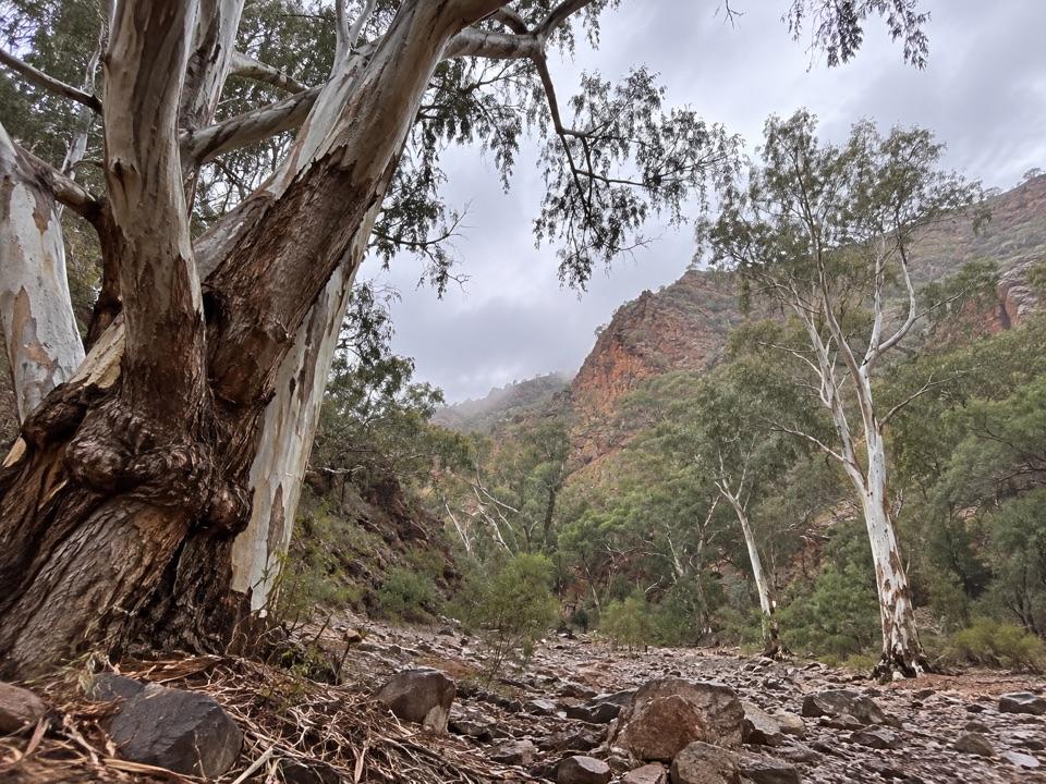
The first stretch follows Wilpena Creek beneath tall river red gums and native pines and passes a waterhole. At Hills Homestead, the route pauses at a historic cottage where interpretation covers the lives and hardships of its former inhabitants in the harsh local conditions. Toilets and picnic tables are available here, making it a natural place for a rest before the climb. Beyond the homestead, the track passes an Adnyamathanha sculpture and continues up the edge of the Pound. The shift from creekside trees to open views is part of the walk's appeal. The lower lookout comes first; the upper is another 300 metres on. Stop at each if you want to compare the views, or turn around at the lower platform for a shorter outing.
Look into IkaraAt the upper platform, the view is inward across the tree-covered basin, with the broken,…
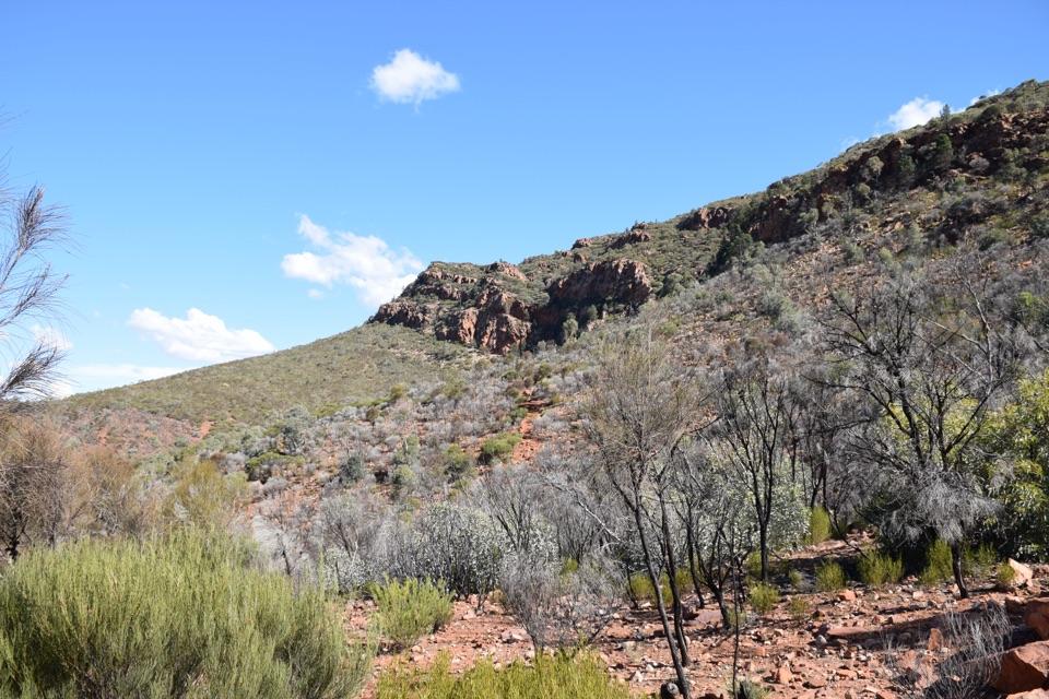
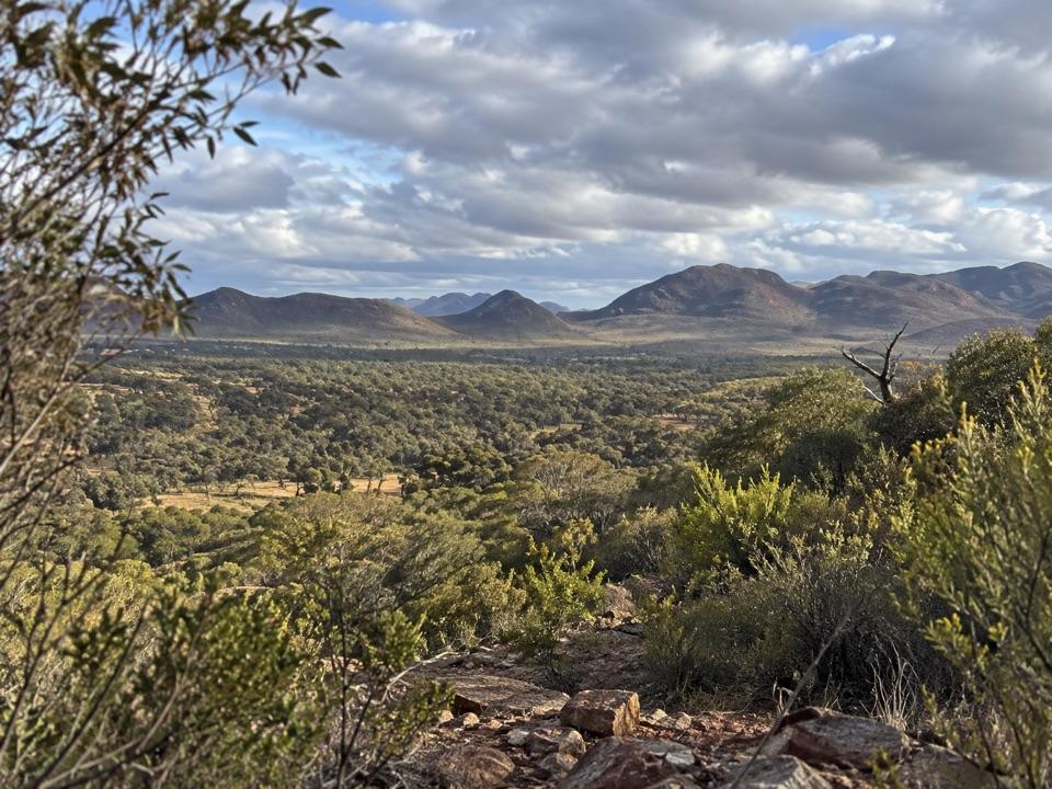
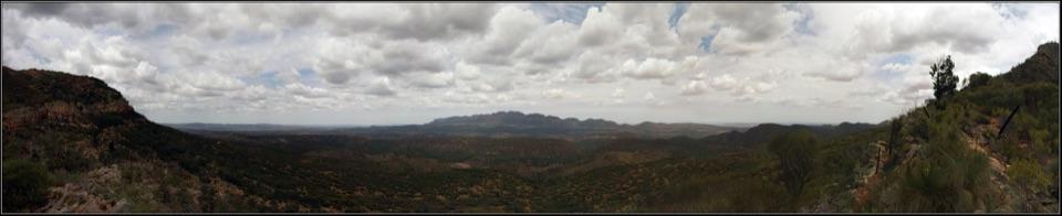
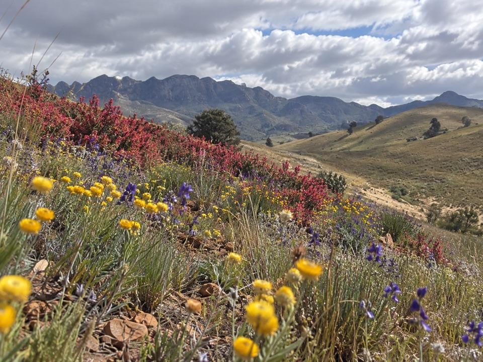
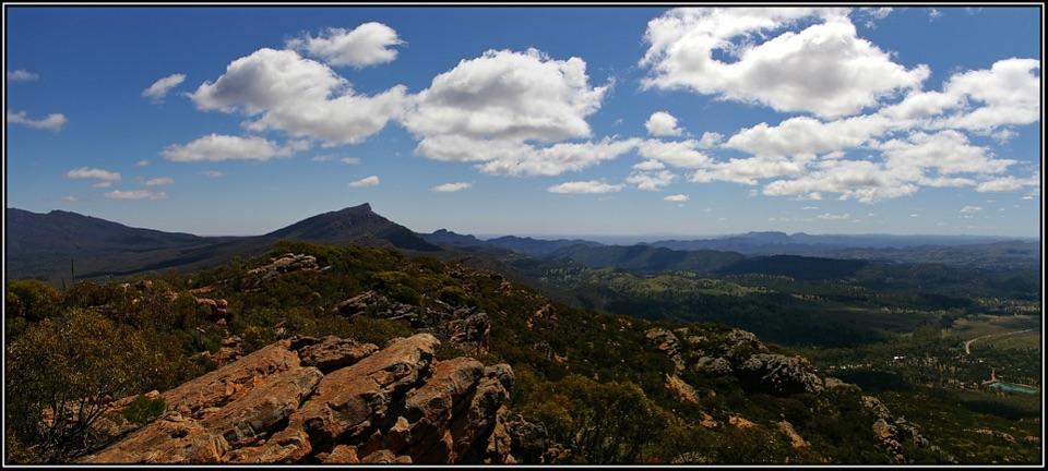
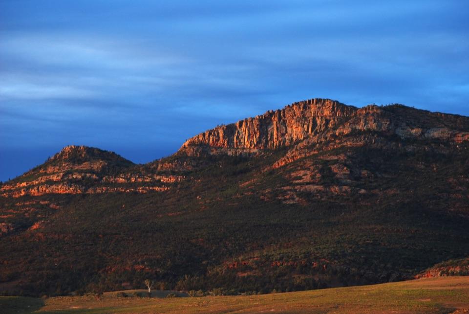
At the upper platform, the view is inward across the tree-covered basin, with the broken, uneven ridge of the Flinders Ranges surrounding it. This is the view Wangara is known for: you can see the landscape held inside the Pound rather than only its outer wall. Ikara is the local Adnyamathanha name for Wilpena Pound; millions of years of erosion shaped the formation. The homestead and sculpture on the way add a human story to what could otherwise be a long walk just for scenery. For a photo, keep the treed basin and rocky rim in one frame. A tight crop of the ridge misses the bowl that makes the view distinctive.
Make the walk workThe upper lookout hike is 7.
The upper lookout hike is 7.8 km return and about three and a half hours from Wilpena Visitor Centre. The trail starts at the visitor-centre bushwalking trailhead; the main road into Wilpena Pound is sealed. Add time for both platforms and Hills Homestead rather than treating that estimate as time on the trail. April through October usually brings the mildest walking temperatures; summer maximums can reach 30–45°C. All park walking trails close on days of Catastrophic Fire Danger, and dogs aren't permitted except assistance dogs. Carry enough drinking water for the walk.
Wildlife
Wildlife in Ikara-Flinders Ranges
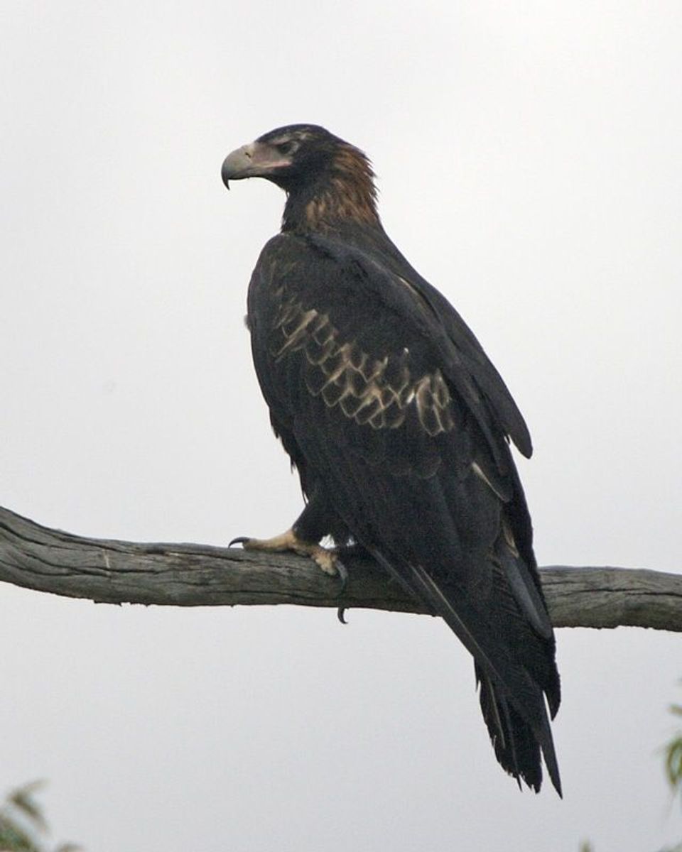 75 sightingsWedge-tailed EagleMost seen around 10 AMSighting map
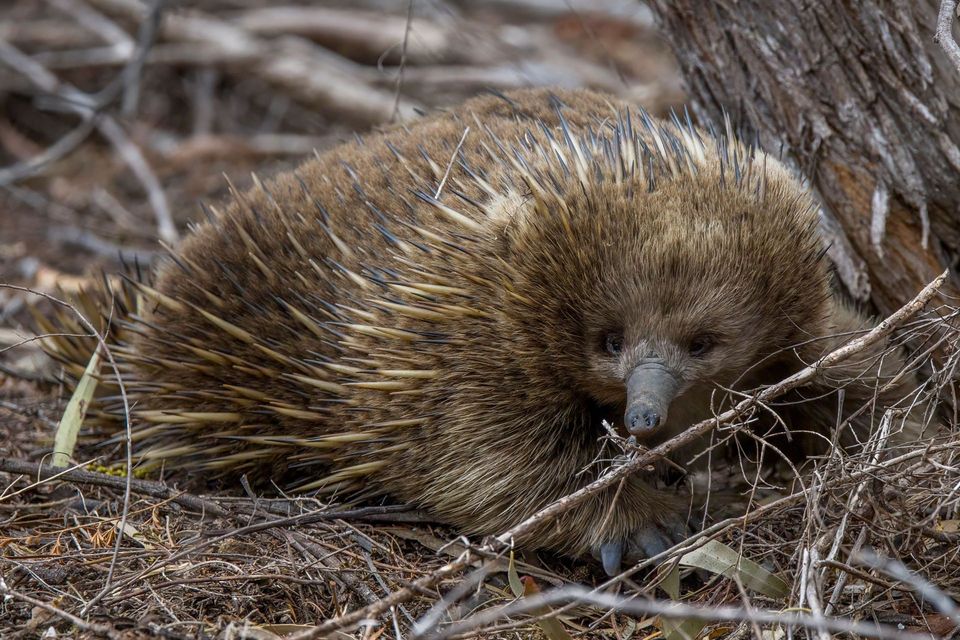 107 sightingsShort-beaked EchidnaMost seen around 6 PMSighting map
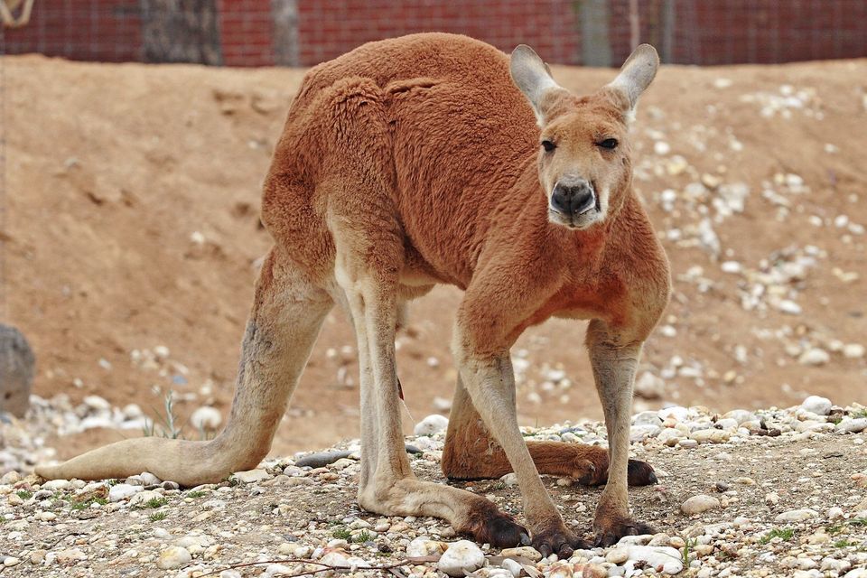 69 sightingsRed KangarooMost seen around 5 PMSighting map
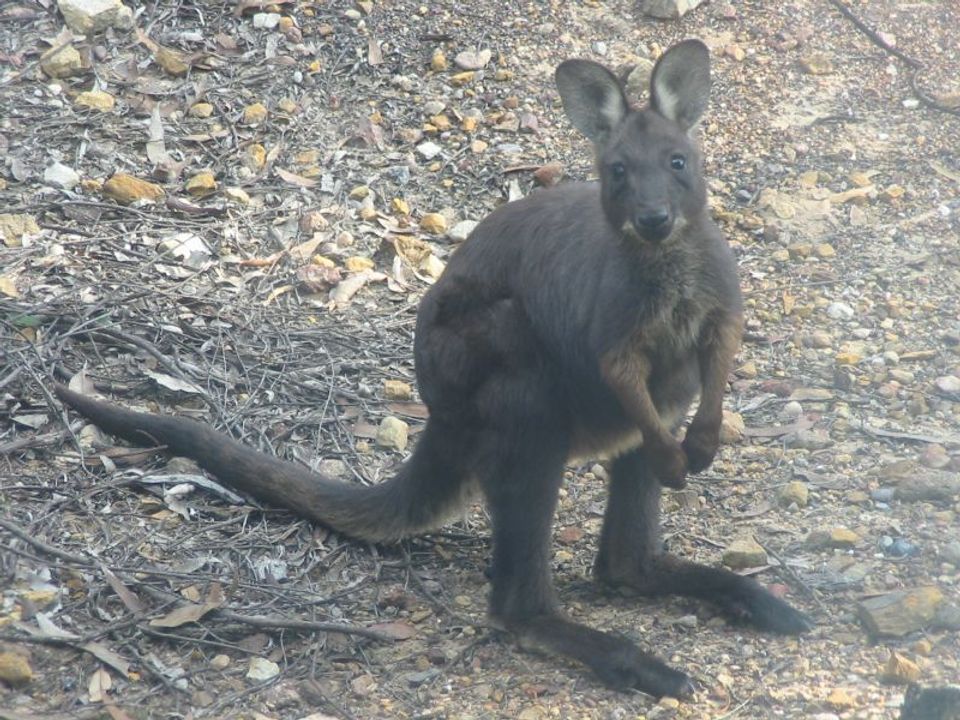 223 sightingsCommon WallarooMost seen around 6 PMSighting map
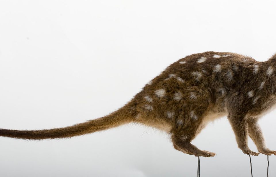 56 sightingsWestern QuollMost seen around 6 PMSighting map
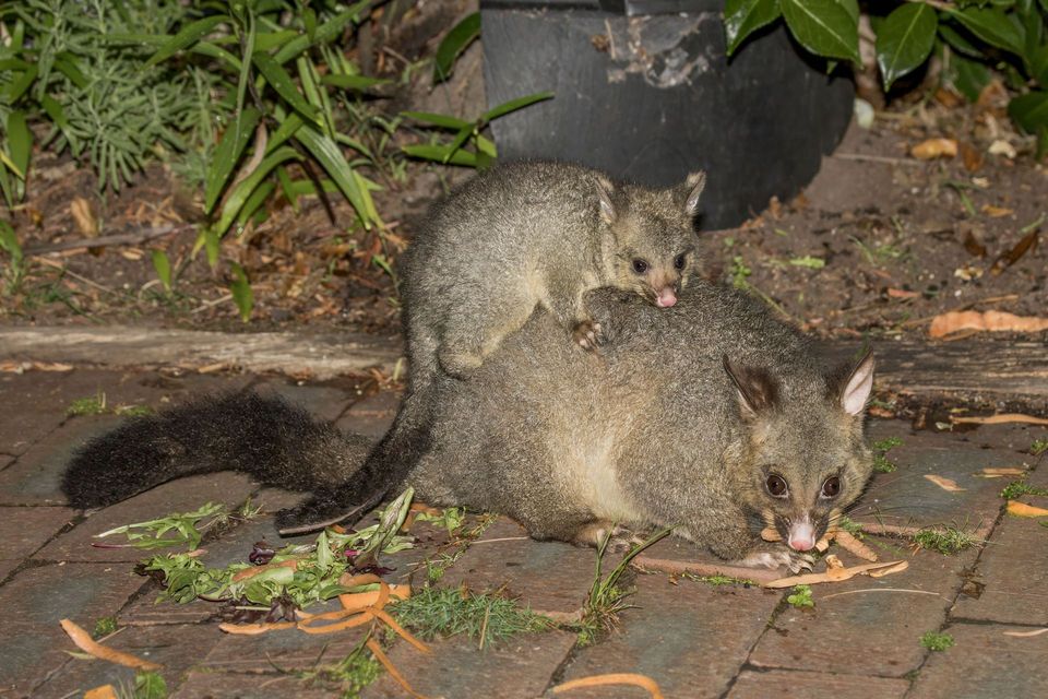 48 sightingsCommon Brushtail PossumMost seen around 6 PMSighting map
Sighting maps show where each species has been reported across Ikara-Flinders Ranges. Wildlife moves, so no sighting is guaranteed.