Best time to visit
For fewer people and softer light, ride early morning or late afternoon/early evening. Midday (especially July–August) is peak—expect lines and crowded cabins. Pick a clear forecast for photography and long-range views.

Sight · Jasper National Park
Quick ride to big-mountain views and summit trails
Overview
Canada’s highest and longest guided aerial tramway whisks you from the forested base of Whistlers Mountain (~1,300 m) to an upper station at 2,263 m in about 7–8 minutes. It’s the quick, no-sweat gateway to Jasper’s alpine zone, and one of the park’s most popular experiences.
It’s not cheap and it can be crowded, but the SkyTram delivers instant alpine—panoramas, tundra trails, and a true summit feel without the grind. If you want big-mountain scenery with minimal effort, this is a standout stop.
 Parkwolf’s verdictIs it worth it?
Map
Local know-how
Book tickets in advance, especially for July and August.
Check webcams, forecast, and alerts; clouds kill views and wind can delay rides.
Bring layers—it's often 10–15°C colder and windier at the top.
Aim for first flights or after 5 pm to dodge the midday crush and get nicer light.
Wear sturdy shoes and pack water if hiking the 1.3–1.4 km summit trail.
Plan your stop

The highest, rockiest slopes around here are a summer buffet for grizzly bears.
Jasper Tour Guide
Parkwolf is a GPS audio tour guide for Jasper National Park. As you drive, it chimes in with what’s ahead: hidden gems, upcoming stops, history, geology, and wildlife, right through your car’s speakers.
See the Jasper audio tourRecorded for this place
Jasper SkyTram: Ride to the Rooftop of Jasper“Up ahead is the road for the Jasper SkyTram, which is Canada's highest and longest aerial tramway. It’s a quick seven-minute ride that takes you right up into the alpine zone of Whistlers Mountain.”
Plays as you drive up to Jasper SkyTram in the Parkwolf Jasper Tour Guide.
More stories near here in the app
“Fantastic app with many points of information… It’s great to just turn on while you’re driving and it gives you an audio tour of the national Park. We love it!!!!”


Guide
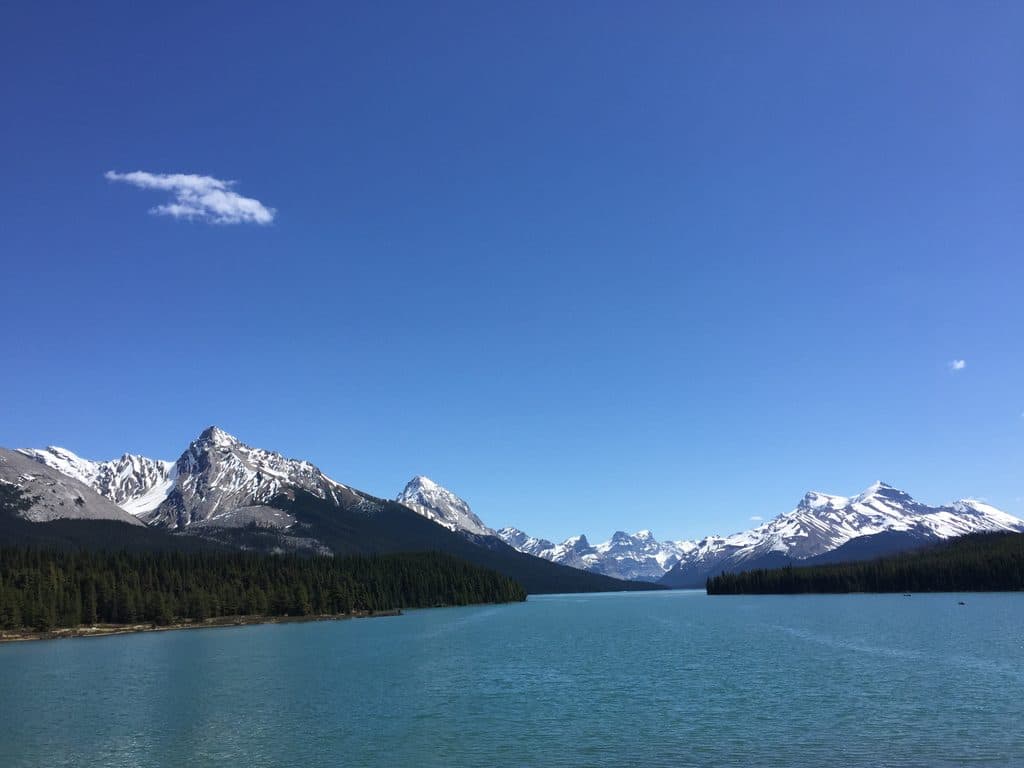
From the cabins and the upper boardwalks you’ll scan the Jasper townsite, the Athabasca River, broad glacial valleys, and on clear days, a patchwork of up to six mountain ranges—classic Rockies scenery with big, layered horizons.
Step off the tram into tundra terrain with a short boardwalk and signed trails. The headline is the 1.3–1.4 km push to Whistlers Summit (2,463 m) for even bigger views. It’s steep and exposed—bring sturdy footwear, water, and sun protection.
Keep an eye and an ear out for marmots and pikas near the upper station. You may also spot larger animals on the slopes below. Birds are common up here, especially in summer.
Wildlife
 174 sightingsGrizzly BearMost seen around 8 PMSighting map
 43 sightingsCaribouMost seen around 7 AMSighting map
 40 sightingsGray WolfMost seen around 6 AMSighting map
 12 sightingsCanada LynxMost seen around 8 PMSighting map
 315 sightingsMooseMost seen around 6 AMSighting map
 1,028 sightingsElkMost seen around 7 AMSighting map
Sighting maps show where each species has been reported across Jasper. Wildlife moves, so no sighting is guaranteed.
Keep exploring
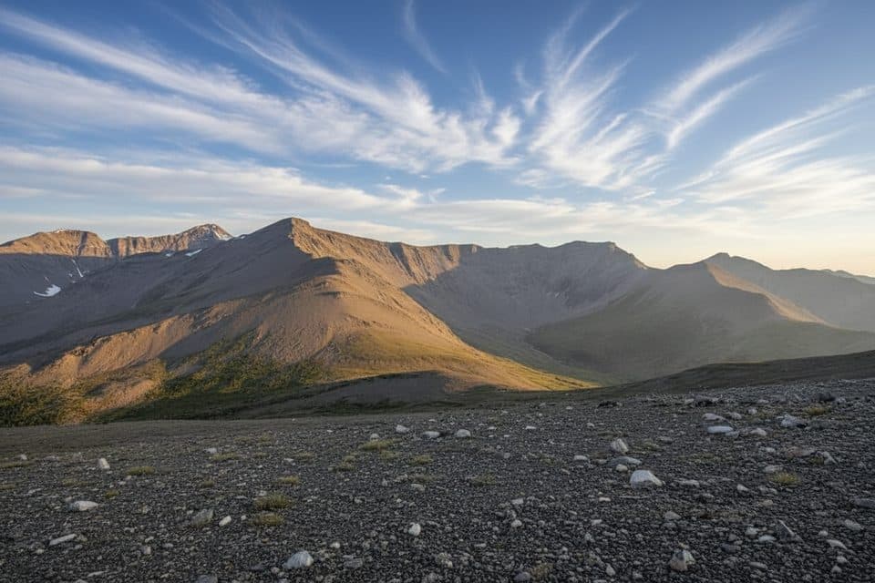 ChallengingWhistlers Trail13.7 km · 6.5 hr · 0.9 km awayForest-to-alpine grind with huge summit views and a tram bailout
 ChallengingIndian Ridge8.9 km · 5 hr · 1.7 km awayHigh-alpine Indian Ridge views from the Jasper SkyTram with a rugged out-and-back scramble
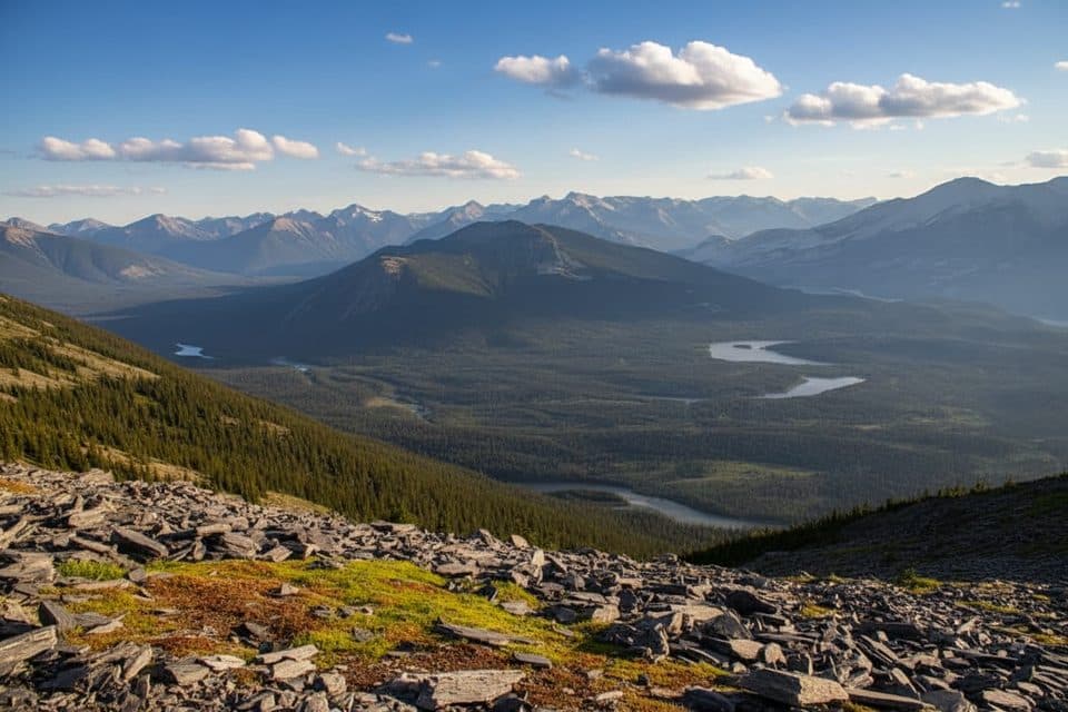 ModerateWhistlers Summit Trail2.7 km · 1.5 hr · 1.7 km awayQuick alpine climb from the SkyTram to Jasper’s big-views summit
 ModerateSaturday Night Lake Loop24.6 km · 8 hr · 2.6 km awayA long multi-use loop from Jasper through Marjorie, Minnow, High, and Saturday Night lakes
 Easy11 Town trail8.4 km · 2.5 hr · 3.7 km awayModerate loop around Jasper with mountain views, town access, and bear-marker wayfinding
 ChallengingGreat Divide Trail102 km · 1.7 days · 3.7 km awayA demanding 102 km Jasper-to-Mount-Robson wilderness traverse over three high passes.EasyJasper Discovery Trail8.4 km · 2.5 hr · 4.1 km away8.3 km loop around Jasper with mountain views, interpretive stops, and gentle rolling terrainModeratePyramid Bench Loop14.5 km · 5 hr · 4.1 km awayModerate multi-use loop from Jasper to Pyramid Lake with bench-top views over the Athabasca Valley.
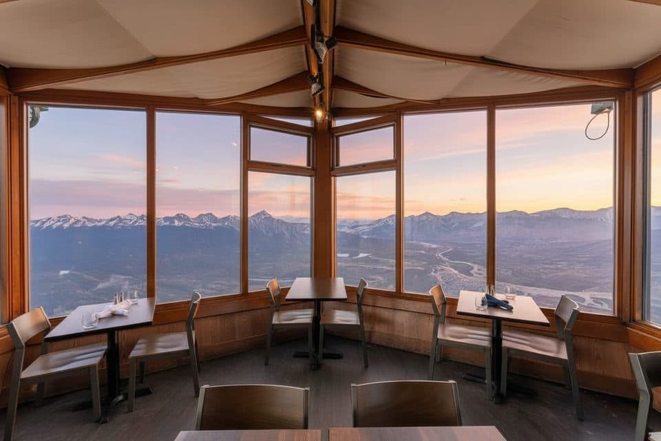 Restaurant · 1.7 km awaySummit RestaurantMountaintop cafe with knockout views via the SkyTram
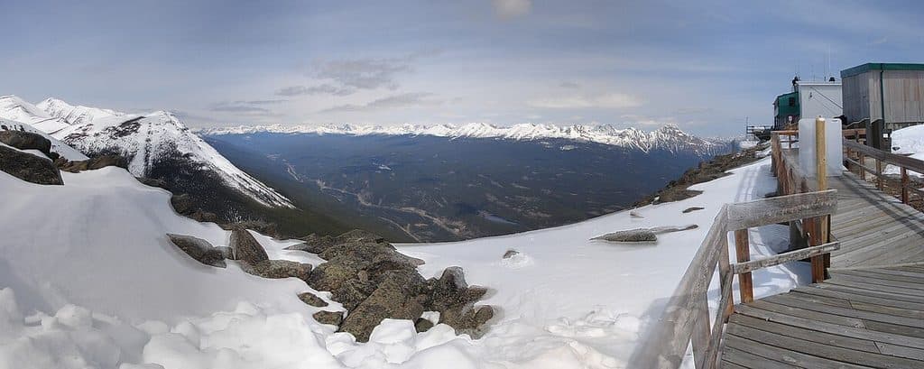 Sight · 2.8 km awayWhistlers MountainSkyTram-served alpine summit with sweeping views and whistling marmots
 Campground · 3.1 km awayWhistlers CampgroundModern mega-campground near town with elk and full amenities
 Lodging · 3.5 km awayHI JasperModern hostel near town with kitchen, sauna, and cafe
 Sight · 3.5 km awayChargePoint - Hi JasperChargePoint EV charging at HI Jasper, walkable to town
 Gas station · 3.8 km awayShell Jasper24/7 fuel stop in town with diesel and propane exchange
 Sight · 3.8 km awaySt. Mary & St. George Anglican ChurchQuaint 1927 stone church with luminous stained glass on Miette Ave
 Restaurant · 3.9 km awayJasper Brewing CompanyCanada’s first national park brewery with house-made beers and patio
Parkwolf’s Jasper ranking
The audio tour guide for the drive, plus offline maps, trails, and wildlife heatmaps for when the signal drops.