Parking
Use townsite street parking near the Connaught Drive and Highway 93A North / Hazel Avenue junction. The loop can also be joined from several points around Jasper, so a dedicated parking lot is not required.

Jasper National Park, AB
Moderate loop around Jasper with mountain views, town access, and bear-marker wayfinding
Overview
Jasper Discovery Trail (Trail 11) is a signed loop around Jasper’s townsite, linking forested edges, open valley views, and short in-town sections. It is a shared route for hiking and cycling, marked by bear-symbol signs; you can join it at several points, with the primary trailhead at the junction of Connaught Drive and Highway 93A North/Hazel Avenue.
The full loop is about 5.2 miles (8.3 km) and typically takes 2–3 hours. It gains about 120 m overall on a rolling route; the published distance is the total loop distance, not a one-way corridor. Surfaces alternate among gravel, dirt, and paved town paths.
Use townsite street parking near the junction, or join closer to lodging and town services. No shuttle is needed for this loop, and its multiple access points make it useful as an orientation walk or bike ride.
The trail stays close to town, so expect shared-use etiquette, road and path crossings, and some urban noise. Dogs must be leashed; winter snow and ice can make footing slippery. Watch for elk and follow the bear markers where the loop passes through forest edge.
Map & elevation
Plan your hike

The highest, rockiest slopes around here are a summer buffet for grizzly bears.
Jasper Tour Guide
Parkwolf is a GPS audio tour guide for Jasper National Park. As you drive, it chimes in with what’s ahead: hidden gems, upcoming stops, history, geology, and wildlife, right through your car’s speakers.
See the Jasper audio tourRecorded for this trailhead
Jasper Townsite Overview and Highlights“You're now approaching the town of Jasper, the park's main hub. If you need any advice or maps, the historic stone Information Centre is the best place to go.”
Plays as you drive up to this trailhead in the Parkwolf Jasper Tour Guide.
More stories near here in the app
“Fantastic app with many points of information… It’s great to just turn on while you’re driving and it gives you an audio tour of the national Park. We love it!!!!”


Wildlife
 174 sightingsGrizzly BearMost seen around 8 PMSighting map
 43 sightingsCaribouMost seen around 7 AMSighting map
 40 sightingsGray WolfMost seen around 6 AMSighting map
 12 sightingsCanada LynxMost seen around 8 PMSighting map
 315 sightingsMooseMost seen around 6 AMSighting map
 1,028 sightingsElkMost seen around 7 AMSighting map
Sighting maps show where each species has been reported across Jasper. Wildlife moves, so no sighting is guaranteed.
Keep exploring
 ChallengingGreat Divide Trail102 km · 1.7 days · 0.3 km awayA demanding 102 km Jasper-to-Mount-Robson wilderness traverse over three high passes.EasyJasper Discovery Trail8.4 km · 2.5 hr · 0.4 km away8.3 km loop around Jasper with mountain views, interpretive stops, and gentle rolling terrainModerateCottonwood Creek Loop5.1 km · 1.5 hr · 0.8 km awayA 5.1 km moderate loop from Jasper’s Activity Centre through forest, creek, wetland, and Pyramid Bench views.
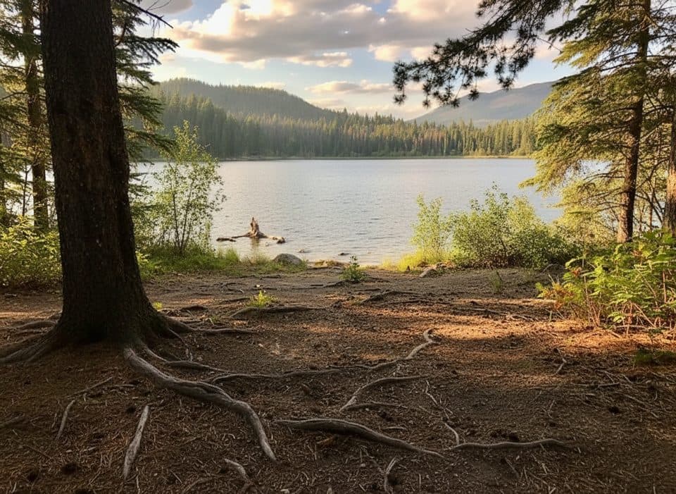 EasyTrail 8 (MinaLake)9 km · 3.5 hr · 0.8 km awayA moderate lake loop through Jasper's Pyramid Bench forest.
 ModerateMina and Riley Lakes Loop9 km · 3.5 hr · 0.8 km awayQuiet lakes-and-forest loop steps from Jasper’s townsite.ModerateCabin Lake Trail6.8 km · 2.3 hr · 0.8 km awayForest-and-lake loop from Jasper's Pyramid BenchModeratePyramid Bench Loop14.5 km · 5 hr · 0.8 km awayModerate multi-use loop from Jasper to Pyramid Lake with bench-top views over the Athabasca Valley.ModerateOld Fort Point Loop3.9 km · 1.3 hr · 1.4 km awayShort, steep loop with Jasper valley and Athabasca River views
 Gas station · 0.1 km awayShell Jasper24/7 fuel stop in town with diesel and propane exchange
 Restaurant · 0.2 km awayJasper Brewing CompanyCanada’s first national park brewery with house-made beers and patio
 Sight · 0.2 km awayChargePoint - Hi JasperChargePoint EV charging at HI Jasper, walkable to town
 Sight · 0.2 km awaySt. Mary & St. George Anglican ChurchQuaint 1927 stone church with luminous stained glass on Miette Ave
 Lodging · 0.3 km awayHI JasperModern hostel near town with kitchen, sauna, and cafe
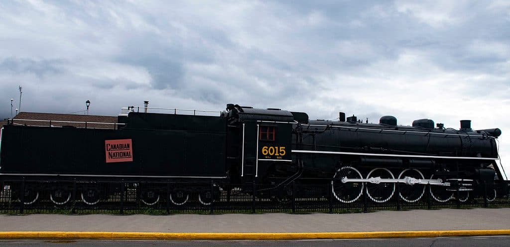 Sight · 0.3 km awayCN Mountain Locomotive 6015Vintage CN steam engine parked steps from Jasper Station
 Food · 0.3 km awaySnowDome Coffee Bar & LaundryBeloved laundromat cafe for espresso, baking, and clean clothes
 Store · 0.3 km awayTGP Your Jasper GrocerJasper's go-to grocery for trail snacks and full provisions
Parkwolf’s Jasper ranking

The audio tour guide for the drive, plus offline maps, trails, and wildlife heatmaps for when the signal drops.





