Challenging

Great Divide Trail

Jasper’s wildest backpack: big passes, real fords, zero hand-holding.
Great Divide Trail, Jasper National Park
Distance62 mi
Typical time120 hr
DifficultyChallenging
PetsAllowed

What you’re hiking

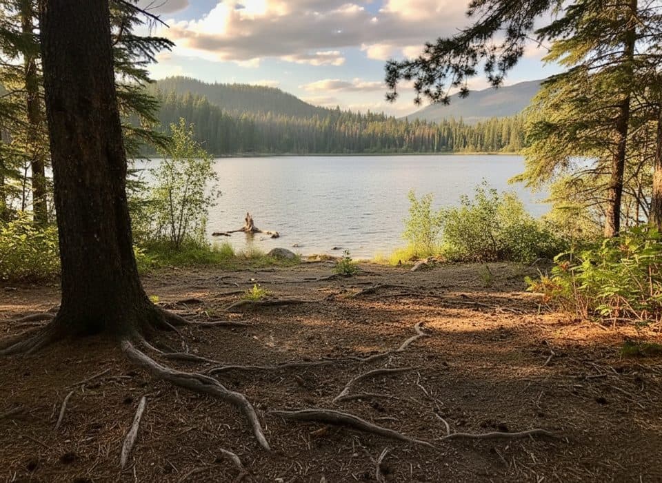
This is the Great Divide Trail’s Jasper National Park traverse—an advanced, point‑to‑point wilderness route through the heart of the Canadian Rockies. Expect roughly 62 miles (100 km) one way across high passes like Centre, Grant, and Colonel, then down through the Moose and Smoky River valleys. It’s a multi‑day commitment (plan 4–7 days) with classic glaciated U‑shaped valleys, alpine meadows—including the much‑loved Moose Pass meadows—and crystal‑clear rivers. You’ll also cross the Continental Divide multiple times.

Trail experience

This is remote, rugged travel. Signage can be sparse, trails can be brushy or littered with deadfall, and you’ll face multiple unbridged river fords—especially along the Moose River—that can be hazardous in high water. Navigation skills matter. It’s one of the most isolated stretches of the GDT, with limited exit options and long gaps between services. Wildlife is part of the draw and the risk: grizzly bears and moose are common, so carry bear spray and manage food carefully.

Permits and camping

Backcountry camping in Jasper National Park requires advance permits and reservations where designated sites exist. Some zones allow random camping with the appropriate permit (e.g., Miette River and Miette Lake). Popular designated camps like Timothy Slides and Chown Creek require reservations, and Minnow Lake (on an alternate) is also permitted/reserved. Beyond those designated areas, nearby Jackpine Pass allows random camping. Confirm your exact itinerary and which zones are designated vs. random before you go.

Best time to hike

July through September is the prime window. Snow can linger into July at higher elevations, and early snow can return by late September. Even in mid‑summer, sudden storms are possible and temperatures can drop fast. Lower, safer river levels typically arrive mid‑ to late‑summer, but always be ready to wait a day if fords are running high. Expect mud, mosquitos, and occasional blowdown—check current trail reports before committing to big miles.

Logistics and access

Common access is from the Jasper townsite at the Old Fort Point trailhead, with the route working toward Portal Creek and onward into the Moose River country. A long ingress/egress follows the Moose River corridor toward Highway 16, so plan a shuttle or pickup. This is not wheelchair accessible. Dogs are allowed on leash in Jasper National Park, but given the fords, wildlife, and brush, it’s not a great idea for most parties.

Pros

  • Repeated Continental Divide crossings with expansive alpine views
  • Moose Pass meadows deliver standout high‑country scenery with real solitude

Cons

  • Multiple unbridged river fords (notably the Moose River) can halt progress
  • Sparse signage and brushy or blowdown‑strewn stretches slow travel
  • Few exit options once you’re committed to the Moose/Smoky river corridors

Parking

Start at the Old Fort Point trailhead in Jasper or access the route via Portal Creek; plan a shuttle or pickup for the long Moose River corridor exit toward Highway 16.

Caution

Serious river fords, sparse signage, and long stretches without exits. Expect sudden summer snow, cold temps at altitude, and frequent grizzly activity—carry spray and know how to ford safely.

The Parkwolf tour guide sitting on a phone mounted in a car

Parkwolf Tour Guide

Like a tour guide in your car.

Bring Jasper trail research into the car, with offline maps and stories that play as you drive.Download Parkwolf on the App Store