Parking
Park at the Maligne Lake launch/day-use area. Coronet Creek Campground, the actual trailhead, is 21.3 km along the lake and has no road access. Arrange an allowed paddle or electric-motor approach; gas motors are prohibited.
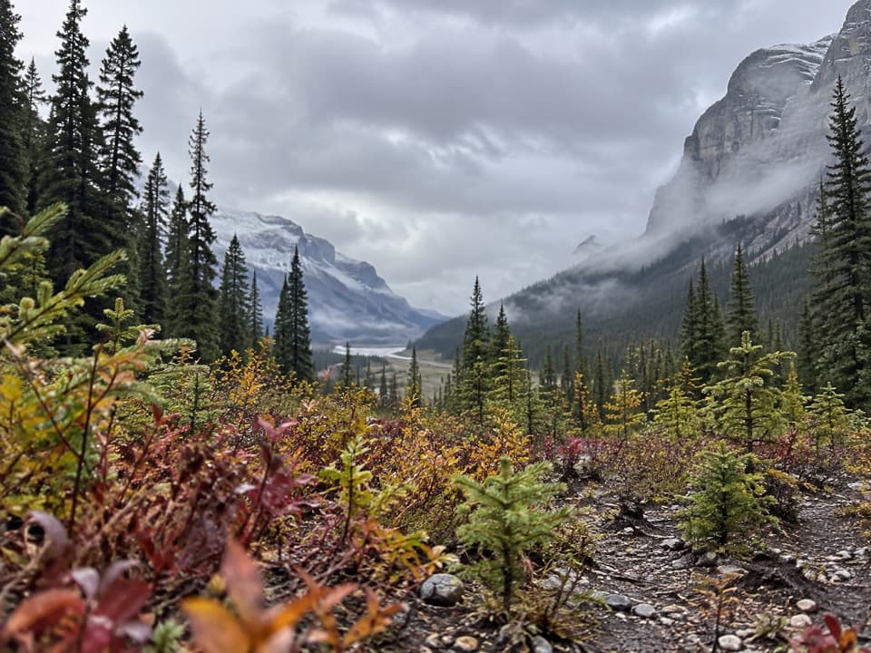
Jasper National Park, AB
A lake approach leads to a rough creek walk and glacier views.
Overview
This is a rough out-and-back from Coronet Creek Campground to the lower moraines below Coronet Glacier. The full walk is about 10.3 miles (16.6 km) round trip and takes roughly five to six hours, before you count the trip down Maligne Lake. Go for a long creek walk and a remote glacier view, not a maintained path or a quick stop.
 Parkwolf’s verdictIs this the hike for you?
Map & elevation
Plan your hike

The highest, rockiest slopes around here are a summer buffet for grizzly bears.
Jasper Tour Guide
Parkwolf is a GPS audio tour guide for Jasper National Park. As you drive, it chimes in with what’s ahead: hidden gems, upcoming stops, history, geology, and wildlife, right through your car’s speakers.
See the Jasper audio tour“Fantastic app with many points of information… It’s great to just turn on while you’re driving and it gives you an audio tour of the national Park. We love it!!!!”


Trail guide
Coronet Creek Campground is 21.3 km along Maligne Lake from the launch. There is no road access to the trailhead, so plan a paddle or electric-motor approach; gas motors are prohibited. If you are camping, reserve ahead and keep to your registered itinerary. The campground has eight sites, docks, a barrel toilet and food lockers. No potable water or food service is listed there.
The route starts just past the tent pads. The first 100 m can be faint before it crosses gravel flats to Coronet Creek. From there, keep to the creek’s left as you climb. The walk switches between gravel banks, stony creekside ground and softer forest tread. Where the creek cuts into small canyons, faint sections detour through the trees. There are two stream crossings; look for the path again after each one.
The route reaches a primitive campsite before continuing toward the lower moraines. Full glacier and mountain views open up about a kilometre before the end. The mileage here follows the route to the moraines below Coronet Glacier; it does not include climbing onto the glacier or exploring beyond the mapped end.
Parks Canada describes this route as unmaintained. Expect loose or indistinct tread, and take time to scout both crossings; early-season runoff has made them harder in past reports. The lake approach is exposed to cold water and sudden wind changes, so plan that part of the trip carefully. Dogs can accompany you but must stay leashed in the park.
Wildlife
 175 sightingsGrizzly BearMost seen around 8 PMSighting map
 43 sightingsCaribouMost seen around 7 AMSighting map
 41 sightingsGray WolfMost seen around 6 AMSighting map
 12 sightingsCanada LynxMost seen around 8 PMSighting map
 320 sightingsMooseMost seen around 6 AMSighting map
 1,048 sightingsElkMost seen around 7 AMSighting map
Sighting maps show where each species has been reported across Jasper. Wildlife moves, so no sighting is guaranteed.
Keep exploring
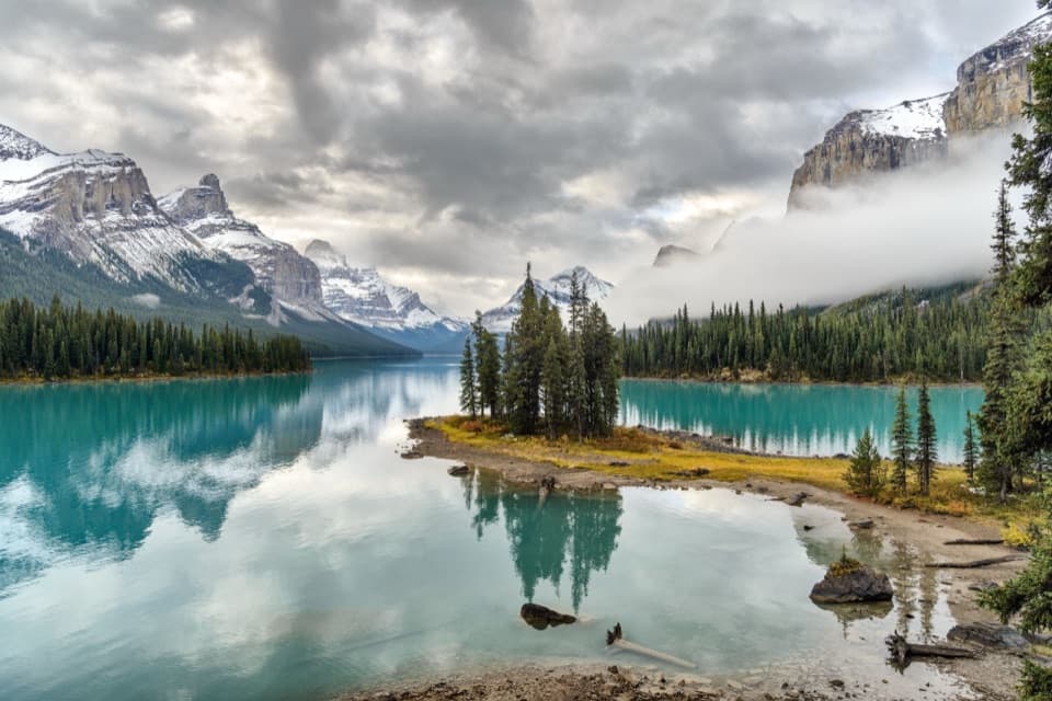 EasySpirit Island Trail0.2 km · 10 min · 7.1 km awayA tiny loop delivers the classic Spirit Island view.
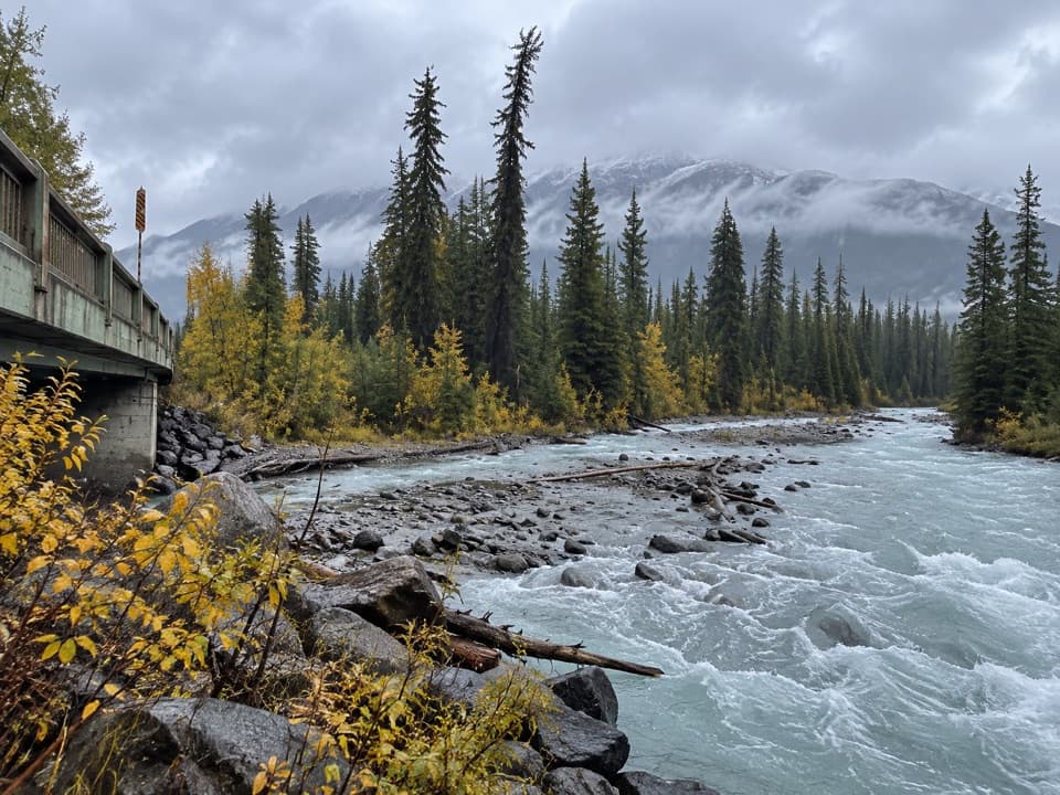 ChallengingMaligne Pass Trail48 km · 21 hr · 16.4 km awayWildflower meadows and a remote three-day crossing over Maligne Pass.
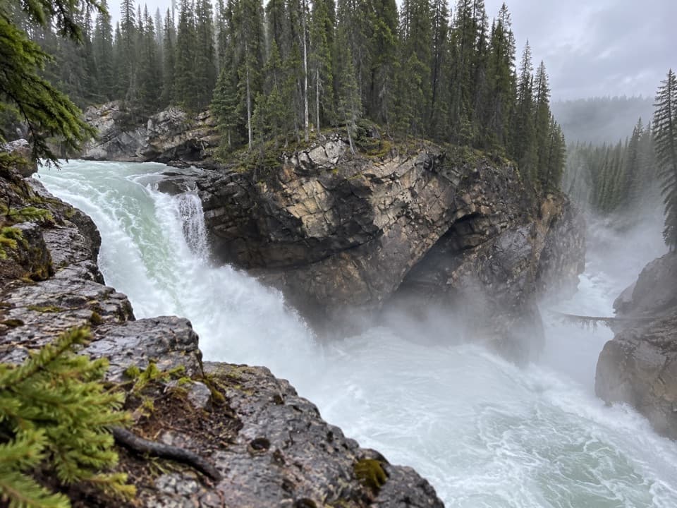 ModerateLower Sunwapta Falls Trail2.6 km · 1 hr · 16.6 km awayA forested out-and-back to three lower waterfalls.
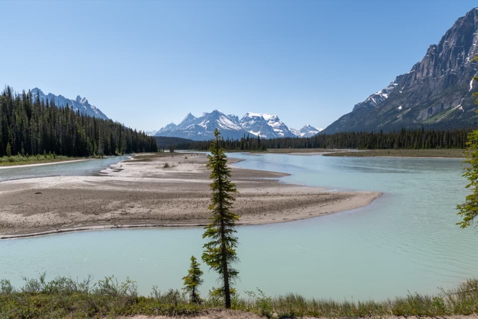 ModerateChaba Trail to Big Bend12.6 km · 5 hr · 16.6 km awayA gentle fire-road walk ends at an Athabasca River camp.
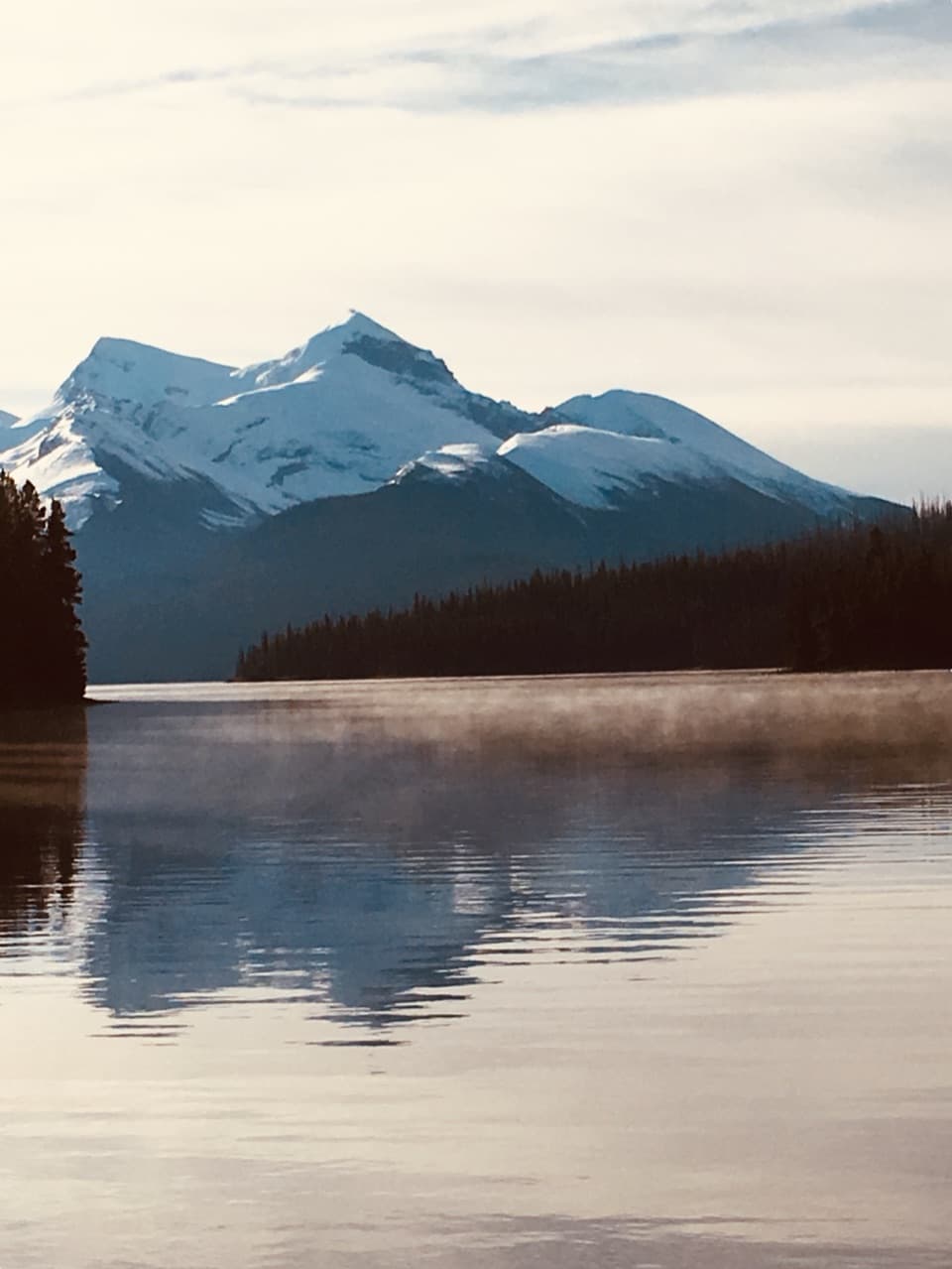 EasyMary Schäffer Loop3.2 km · 1.5 hr · 20.7 km awayA gentle loop beside Maligne Lake, with a story worth the stop.
 ChallengingBald Hills Trail10.4 km · 5 hr · 20.8 km awayA steep climb ends at a panorama over Maligne Lake.
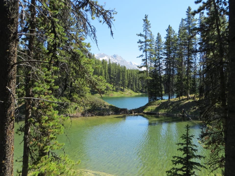 EasyMoose Lake Loop2.7 km · 1.5 hr · 20.8 km awayAn easy forest loop through rockslide debris to Moose Lake.
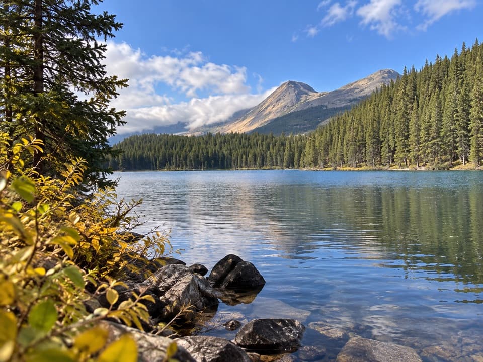 EasyLorraine Lake and Mona Lake Trail5.2 km · 2.5 hr · 20.8 km awayA gentle Skyline walk to two lakes in landslide hollows.
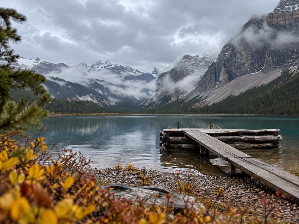 Campground · At the trailheadCoronet Creek Backcountry CampgroundEight lakeside sites, reached by a 21.3-kilometre paddle.
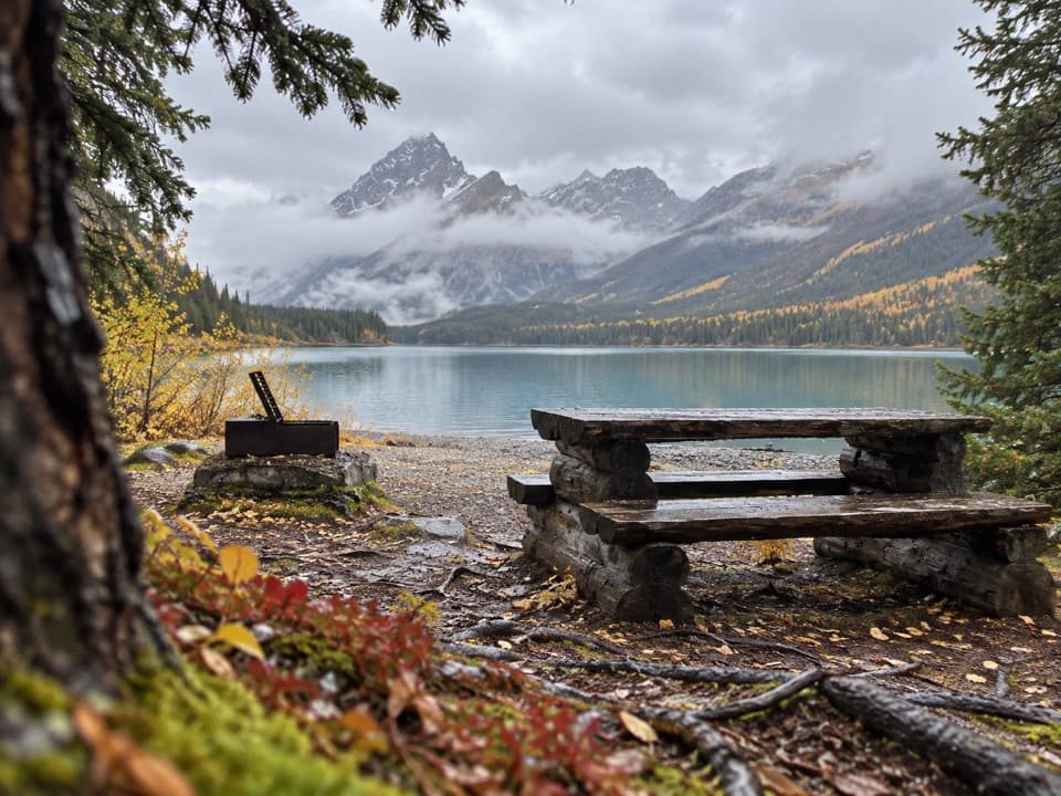 Picnic area · 3.7 km awaySpindly Creek Picnic SiteA mid-lake lunch break for a longer Maligne paddle.
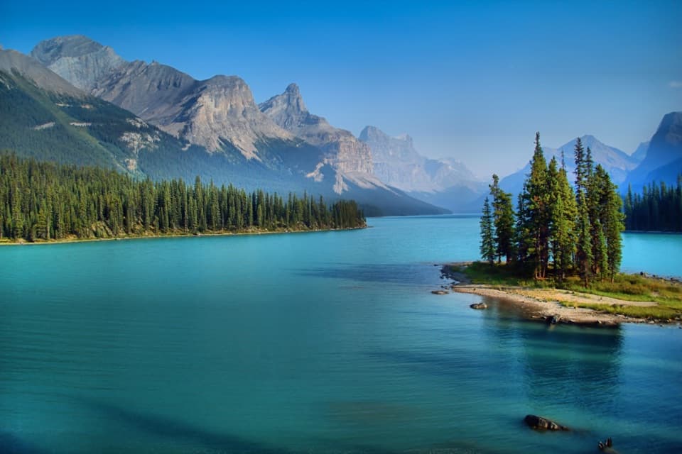 Sight · 7.1 km awaySpirit IslandA tiny pine island framed by peaks, fourteen kilometres up the lake.
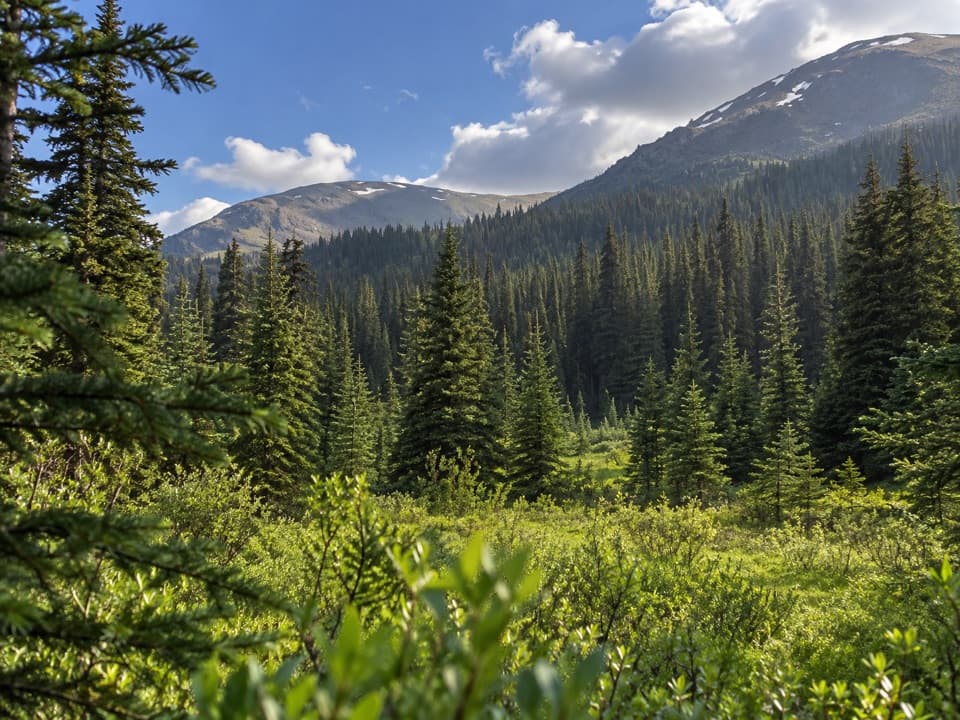 Campground · 7.3 km awayMary Vaux Backcountry CampgroundAn 18 km hike to a remote overnight camp on Maligne Pass.
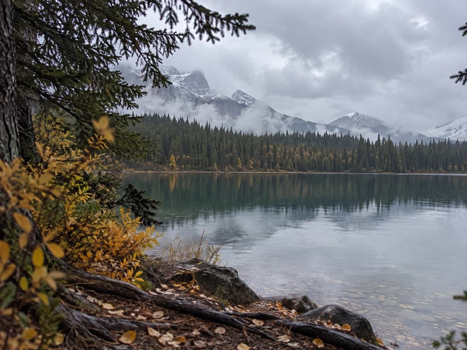 Campground · 8.3 km awayFisherman’s Bay CampgroundPaddle halfway down Maligne Lake, 2 km from Spirit Island.
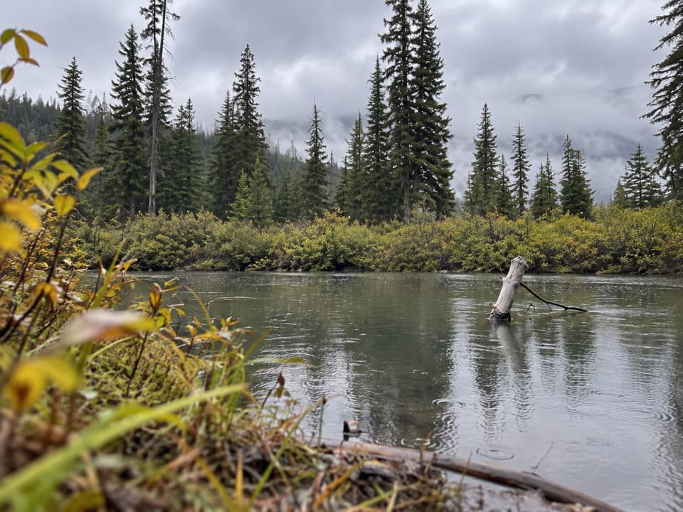 Campground · 10.2 km awaySchäffer Backcountry CampgroundA remote riverside stop on a 48 km backcountry route.
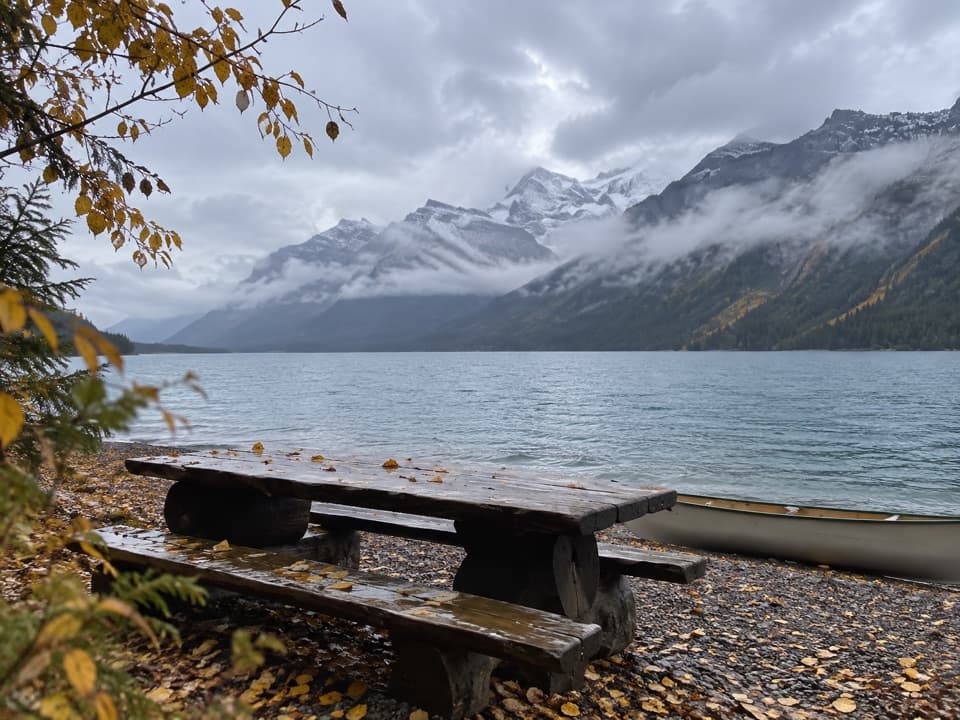 Picnic area · 11 km awaySamson Picnic AreaA waterside lunch stop reached by paddle or electric motorboat.
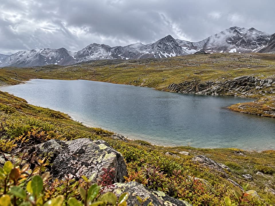 Campground · 12 km awayAvalanche Backcountry CampgroundA creekside overnight on the 11 km Maligne Pass approach.
Parkwolf’s Jasper ranking
The audio tour guide for the drive, plus offline maps, trails, and wildlife heatmaps for when the signal drops.




