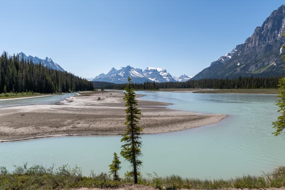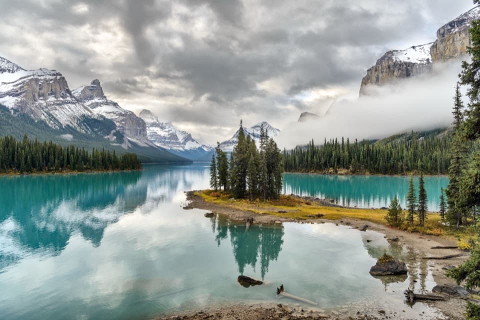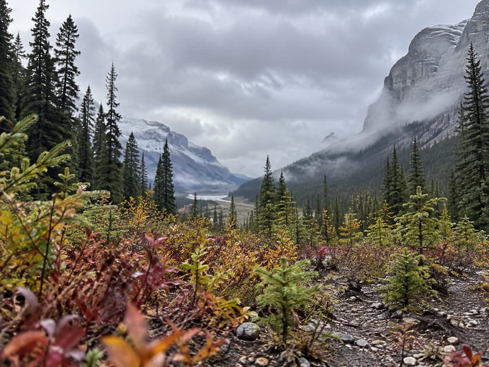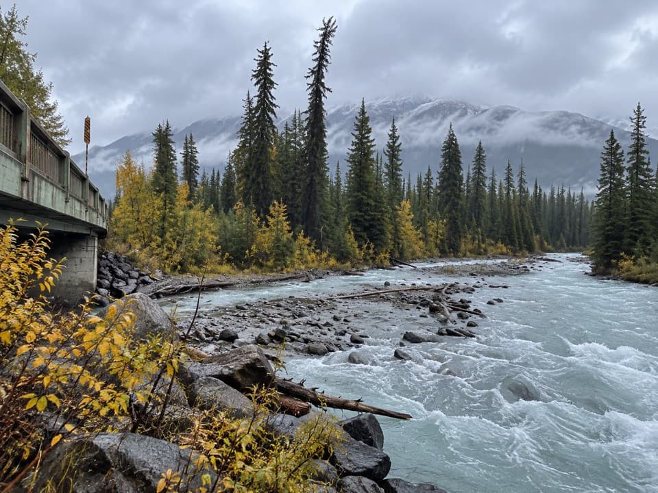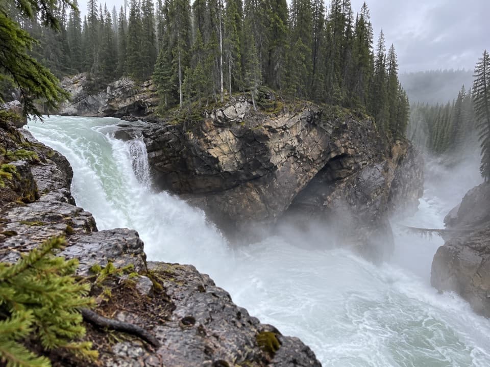
Lower Sunwapta Falls Trail in Jasper National Park

Jasper National Park, AB

Lower Sunwapta Falls Trail

A forested out-and-back to three lower waterfalls.

Length
2.6km
Time
1hr
Elev. change
79m
Difficulty
Moderate
  • Dogs allowed
  • High point 1,411 m
  • #14 of 74 in Jasper

Hear the audio tour

Sunwapta Falls: Upper View and Lower Walk

Overview

About Lower Sunwapta Falls Trail

Why go

  • Three major lower waterfalls beyond the upper-falls stop
  • Open views to the surrounding mountains

Heads up

  • The route ends with a return climb
  • Rooty, uneven footing can be awkward

Map & elevation

The route

Loading the Jasper map
Full map
Elevation1,332–1,411 m
TrailheadSunwapta Falls day-use parking lot52.53277, -117.64568
Keep this map with you offline in the Parkwolf app

Plan your hike

Before you go

Parking

Use the Sunwapta Falls day-use parking lot on Highway 93, the Icefields Parkway, about 54 km south of Jasper. The upper falls viewpoint is beside the lot; Trail 125 continues to the lower falls. There are no gas stations between Jasper and Saskatchewan Crossing, about 154 km south of Jasper.

Safety

Rooted, uneven sections can be awkward underfoot, and the route climbs back to the parking area after descending to the falls.

4 active Jasper alerts

  • ClosureCavell Road and Maligne Canyon closedCavell Road and Maligne Canyon are closed; do not plan access to these areas.Official details
  • Caution93A construction restricts cyclistsConstruction on Highway 93A between the north end of 93N and Marmot Road means single-lane vehicle access and no cycling from November 2026 through spring 2027.Official details
See all 4 alerts
A park ranger sits on a dash-mounted phone, talking, as Parkwolf’s Tour Guide plays “Army Cutworm Moths: A Grizzly Bear Buffet” on Grand Loop Road below Dunraven Pass in Yellowstone
Parkwolf Tour GuideThe highest, rockiest slopes around here are a summer buffet for grizzly bears.

Jasper Tour Guide

Your drive to Lower Sunwapta Falls Trail, narrated.

Parkwolf is a GPS audio tour guide for Jasper National Park. As you drive, it chimes in with what’s ahead: hidden gems, upcoming stops, history, geology, and wildlife, right through your car’s speakers.

See the Jasper audio tour

Recorded for this trailhead

Sunwapta Falls: Upper View and Lower Walk
0:00 / 0:29
“Sunwapta Falls is ahead, with a short walk to a bridge above the gorge. Make this stop if you want a close waterfall view without a long hike.”

Plays as you drive up to this trailhead in the Parkwolf Jasper Tour Guide.

More stories near here in the app

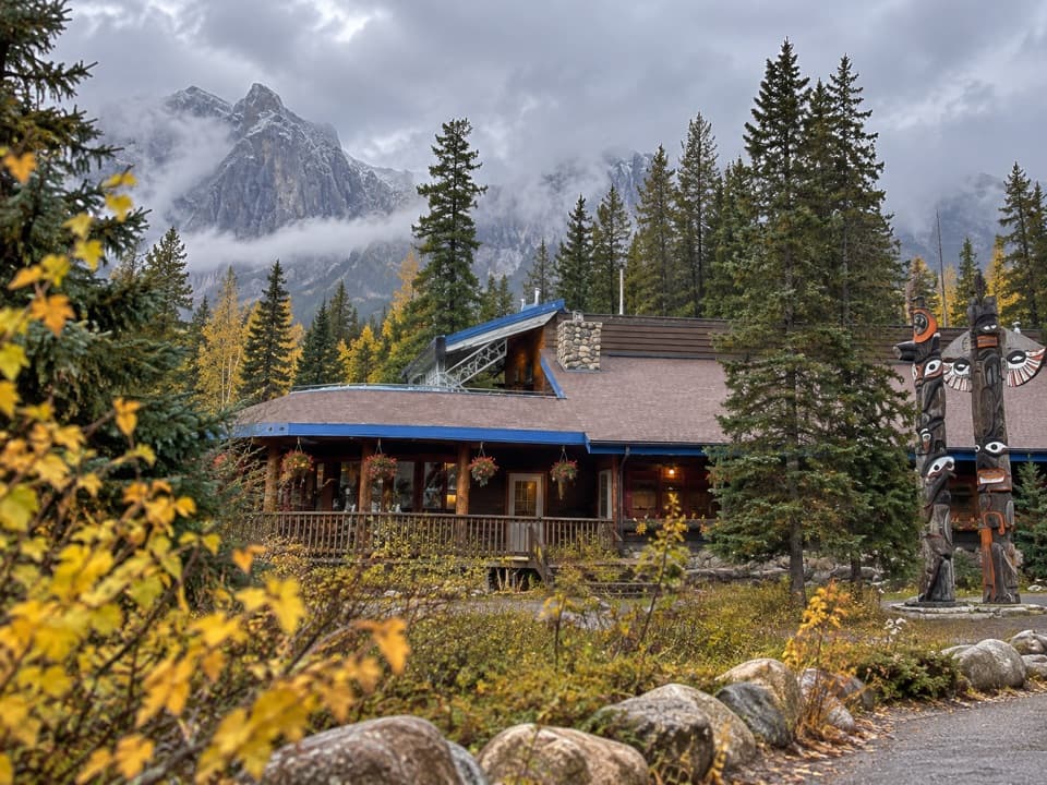
  • Sunwapta Lodge: A Parkway Meal Stop
  • A Bowl Left by Ice
  • The Families Forced to Leave
  • Honeymoon Lake Campground: A Shaded Lakeside Night
  • 170 audio storiesacross Jasper’s roads, triggered by GPS as you drive
  • Wildlife heatmapsfor Grizzly Bear, Caribou, Gray Wolf, and 13 more
  • Works offlinemaps, 74 trails, 189 places, and audio download before you lose signal
  • CarPlay readysimple controls built for the drive
★★★★★
“Fantastic app with many points of information… It’s great to just turn on while you’re driving and it gives you an audio tour of the national Park. We love it!!!!”
JMJamesApp Store review
Download Parkwolf on the App StoreGet Parkwolf on Google Play

4.7 from 8,600+ ratings

Trail guide

Hiking Lower Sunwapta Falls Trail

Is this the waterfall walk you want?Lower Sunwapta Falls Trail is a 1.

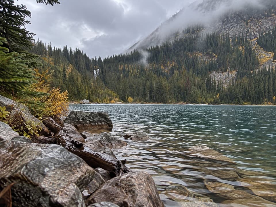
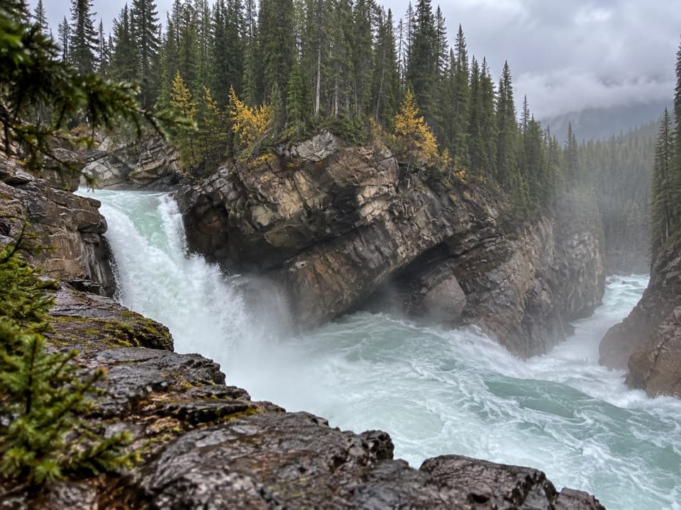
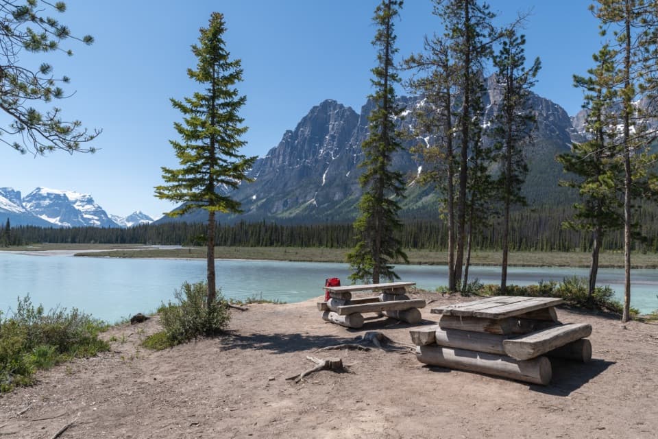
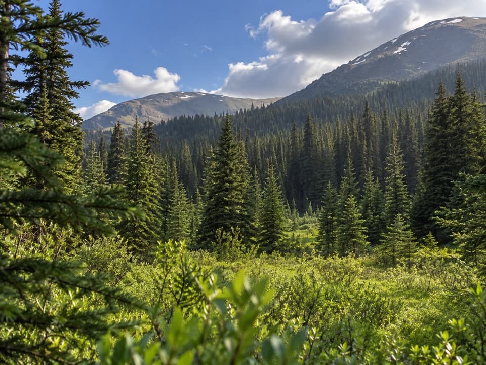
Lower Sunwapta Falls Trail is a 1.6-mile round-trip out-and-back from the Sunwapta Falls day-use area. Trail 125 descends through forest beside the river to three major waterfalls, with open views toward the surrounding mountains. It is a rewarding follow-on if the paved upper-falls stop feels too brief; the lower gorge is the payoff, and you climb the same route back to the lot.

The walk down and backAllow about an hour. The summer hike is listed at 2.6 km (1.

Allow about an hour. The summer hike is listed at 2.6 km (1.6 miles) return, with 87 m of elevation gain and loss, and is rated moderate. The tread is a gravel path with rooted, uneven patches. The descent is manageable for many walkers, but the return climb and rough footing make this feel more like a short hike than a stroll.

In winterWinter directions list this same trail at 2.8 km and rate it easy.

Winter directions list this same trail at 2.8 km and rate it easy. Snow and ice can make the route slippery. The winter figure is slightly longer than the summer listing, so follow seasonal route markers and check the latest trail notices before you start.

Starting point and dogsPark at the Sunwapta Falls day-use lot on the Icefields Parkway, about 54 km south of Jasper.
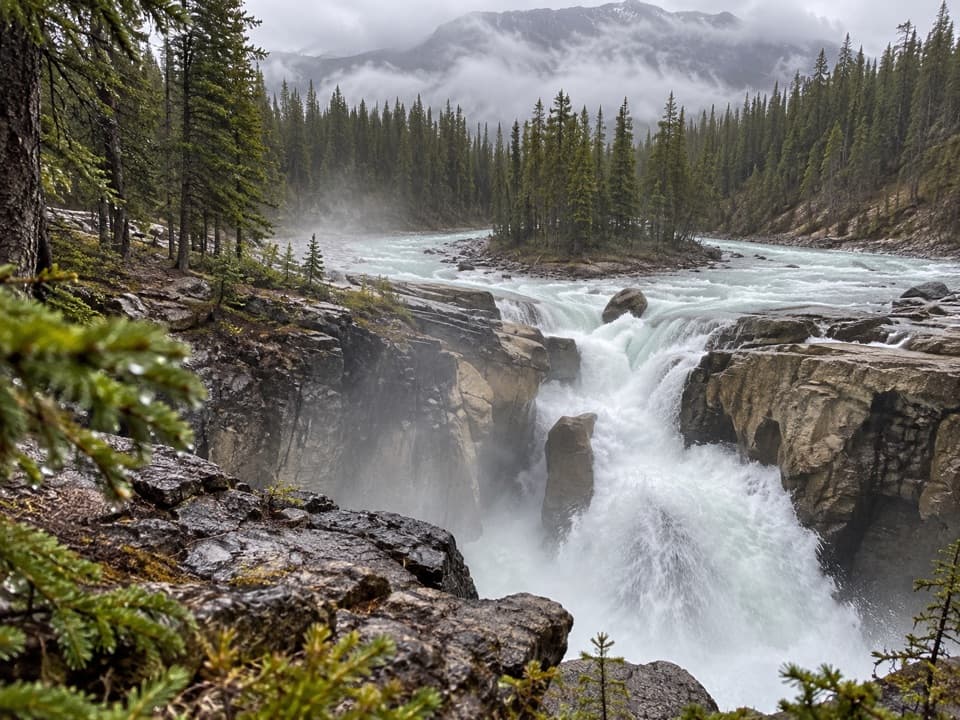
Park at the Sunwapta Falls day-use lot on the Icefields Parkway, about 54 km south of Jasper. The upper-falls viewpoint is beside the lot; continue onto Trail 125 for the lower falls. Dogs are allowed on leash here. Some Jasper trails have seasonal dog restrictions, so check current notices before setting out.
Wildlife

Wildlife in Jasper

All Jasper wildlife maps

Sighting maps show where each species has been reported across Jasper. Wildlife moves, so no sighting is guaranteed.

Keep exploring

Near Lower Sunwapta Falls Trail

See it all on the map

Trails that start nearby

Places near the trailhead

Parkwolf’s Jasper ranking

Top-rated trails in Jasper

All 74 trails
  1. 1Skyline TrailChallenging · 44.1 km
  2. 2Cavell Meadows TrailModerate · 6.4 km
  3. 3Sulphur Skyline TrailChallenging · 8.8 km
  4. 4Bald Hills TrailChallenging · 10.4 km
  5. 5Wilcox Pass TrailChallenging · 6.8 km
  6. 6Tonquin Valley TrailChallenging · 43.1 km

Take Parkwolf to Jasper.

The audio tour guide for the drive, plus offline maps, trails, and wildlife heatmaps for when the signal drops.

4.7 from 8,600+ ratings

Download Parkwolf on the App StoreGet Parkwolf on Google Play