Parking
Turn off the Icefields Parkway at Sunwapta Falls Resort and park at the end of the access road. Walk through the falls viewpoint and cross the viewpoint bridge to pick up the Chaba Trail.
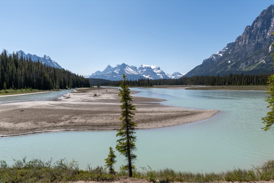
Jasper National Park, AB
A gentle fire-road walk ends at an Athabasca River camp.
Photo: Hansueli Krapf, CC BY-SA 4.0, via Wikimedia Commons
Overview
The last 250 m leads into Big Bend Campground beside the Athabasca River, with Dragon Peak in view. The camp has four sites, a toilet and food lockers; there is no food service on the trail, so bring your own meals. From the eating area, frame the river below Dragon Peak for the clearest sense of the setting. Mosquitoes can be intense in early summer, especially late June and July; later summer is usually a more comfortable bet. An overnight stay requires a Parks Canada backcountry permit and reservation.
 Parkwolf’s verdictThe river is the payoff
Map & elevation
Plan your hike

The highest, rockiest slopes around here are a summer buffet for grizzly bears.
Jasper Tour Guide
Parkwolf is a GPS audio tour guide for Jasper National Park. As you drive, it chimes in with what’s ahead: hidden gems, upcoming stops, history, geology, and wildlife, right through your car’s speakers.
See the Jasper audio tourRecorded for this trailhead
Sunwapta Falls: Upper View and Lower Walk“Sunwapta Falls is ahead, with a short walk to a bridge above the gorge. Make this stop if you want a close waterfall view without a long hike.”
Plays as you drive up to this trailhead in the Parkwolf Jasper Tour Guide.
More stories near here in the app
“Fantastic app with many points of information… It’s great to just turn on while you’re driving and it gives you an audio tour of the national Park. We love it!!!!”


Trail guide
Chaba Trail to Big Bend is a 12.6 km (7.8 mi) out-and-back from Sunwapta Falls to a four-site camp beside the Athabasca River. Parks Canada measures the walk at 6.3 km each way and classifies the longer Chaba trip as a two- to three-day route. Big Bend makes the easier first-overnight option, or a long day walk; allow about five hours of walking for the return. The grade is gentle, with small rises and an overall descent of roughly 50 m to camp. Dogs, bikes and horses are allowed on the trail.
Cross the Sunwapta Falls viewpoint bridge and follow an old fire road through dense forest. The path descends gradually, with roots, some muddy patches and small ups and downs. Most of the approach is a steady walk under trees; the river views arrive at Big Bend. Sunwapta Falls marks where the smaller hanging Chaba Valley meets the Athabasca Valley. Ice receded here about 8,000 years ago, and the falls have cut a deep limestone gorge below the bridge.
The route passes through the Chaba River burn, left by a 1967 wildfire. Parks Canada describes the renewed subalpine forest here as strong bear and moose habitat, so stay alert and give wildlife room.
Big Bend is the first endpoint on Chaba Trail #126. The official route continues another 8.5 km one way to Athabasca Crossing Campground, 14.8 km from Sunwapta Falls. That makes a 29.6 km return and a longer backpack; the campground is beside the river, and travel beyond it stops at an unbridged Athabasca River crossing. This record maps the shorter Big Bend outing.
Wildlife
 175 sightingsGrizzly BearMost seen around 8 PMSighting map
 43 sightingsCaribouMost seen around 7 AMSighting map
 41 sightingsGray WolfMost seen around 6 AMSighting map
 12 sightingsCanada LynxMost seen around 8 PMSighting map
 320 sightingsMooseMost seen around 6 AMSighting map
 1,048 sightingsElkMost seen around 7 AMSighting map
Sighting maps show where each species has been reported across Jasper. Wildlife moves, so no sighting is guaranteed.
Keep exploring
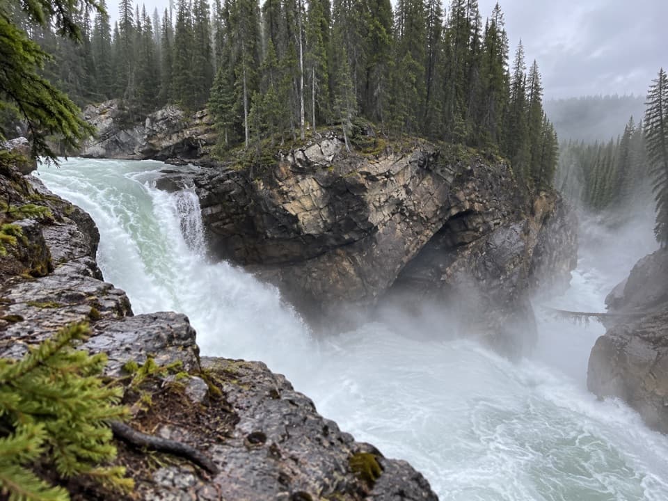 ModerateLower Sunwapta Falls Trail2.6 km · 1 hr · At the trailheadA forested out-and-back to three lower waterfalls.
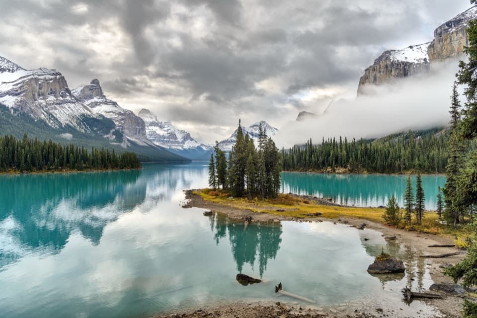 EasySpirit Island Trail0.2 km · 10 min · 16.2 km awayA tiny loop delivers the classic Spirit Island view.
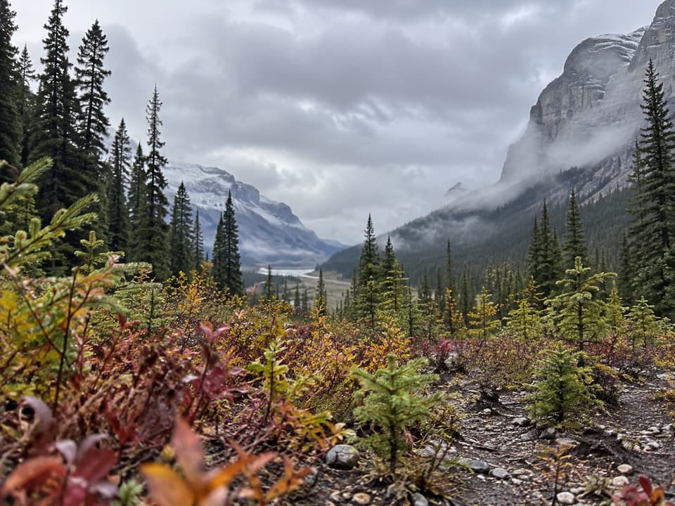 ModerateCoronet Creek Trail16.6 km · 5.5 hr · 16.6 km awayA lake approach leads to a rough creek walk and glacier views.
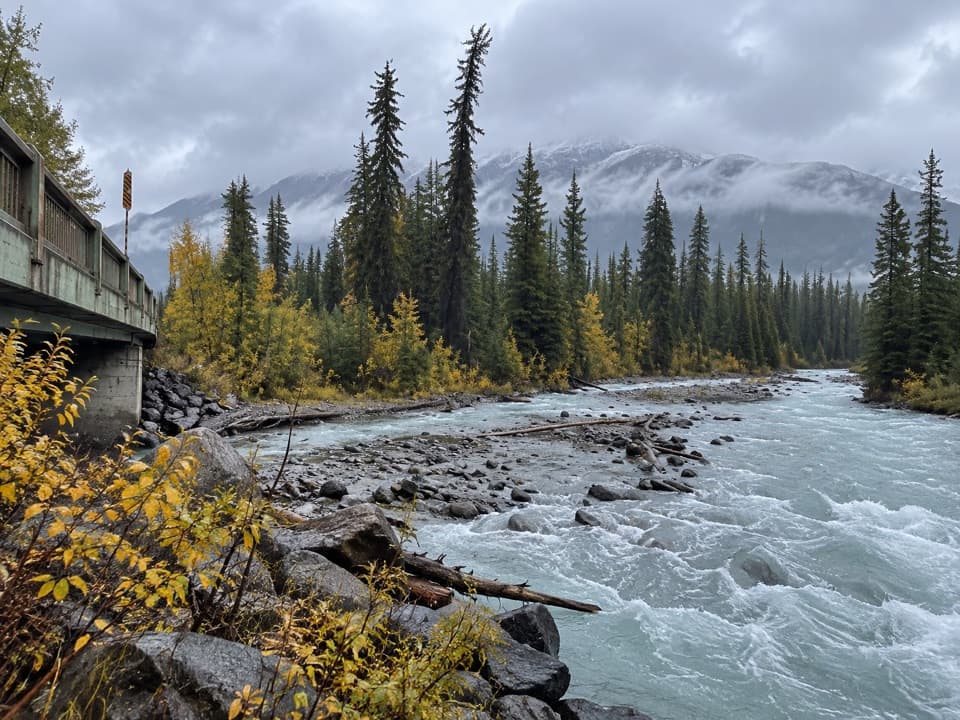 ChallengingMaligne Pass Trail48 km · 21 hr · 16.6 km awayWildflower meadows and a remote three-day crossing over Maligne Pass.
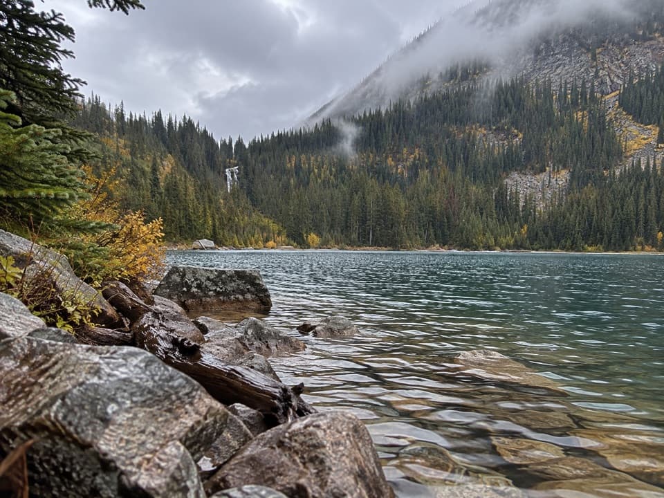 ChallengingGeraldine Lakes Trail12.4 km · 5.5 hr · 21.1 km awayA lake walk that earns its waterfall with a boulder climb.
 ChallengingBald Hills Trail10.4 km · 5 hr · 21.5 km awayA steep climb ends at a panorama over Maligne Lake.
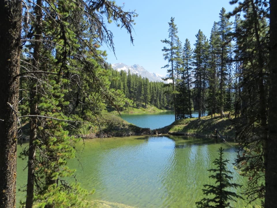 EasyMoose Lake Loop2.7 km · 1.5 hr · 21.5 km awayAn easy forest loop through rockslide debris to Moose Lake.
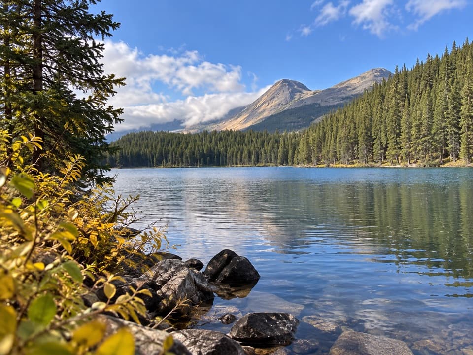 EasyLorraine Lake and Mona Lake Trail5.2 km · 2.5 hr · 21.5 km awayA gentle Skyline walk to two lakes in landslide hollows.
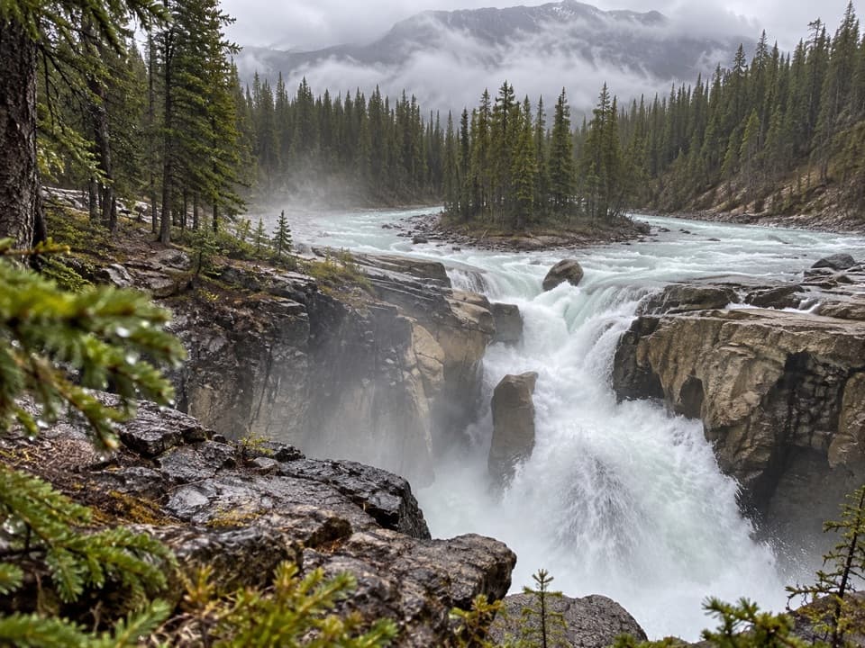 Sight · 0.1 km awaySunwapta FallsA short bridge walk opens onto a thundering limestone gorge.
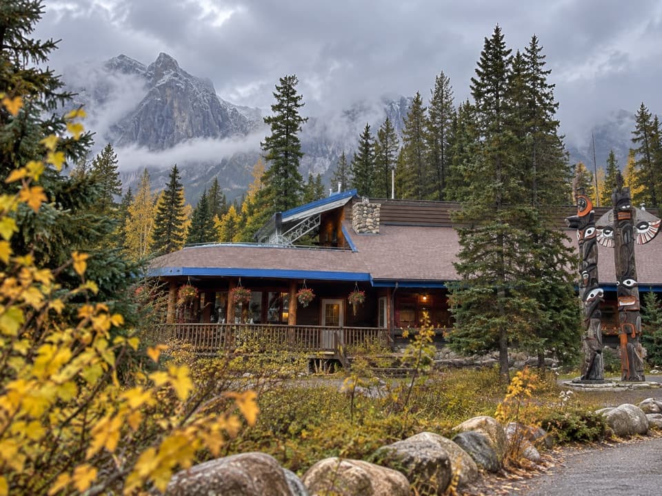 Lodging · 0.6 km awaySunwapta Falls Rocky Mountain LodgeA seasonal Parkway lodge with cabin rooms and a Falls walk.
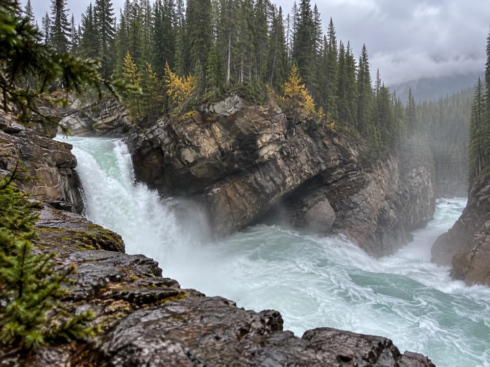 Sight · 1.1 km awayLower Sunwapta FallsThree rock-cut cascades reward a quieter forest walk.
 Campground · 3.5 km awayHoneymoon Lake CampgroundTrade highway miles for a quiet lakeside night.
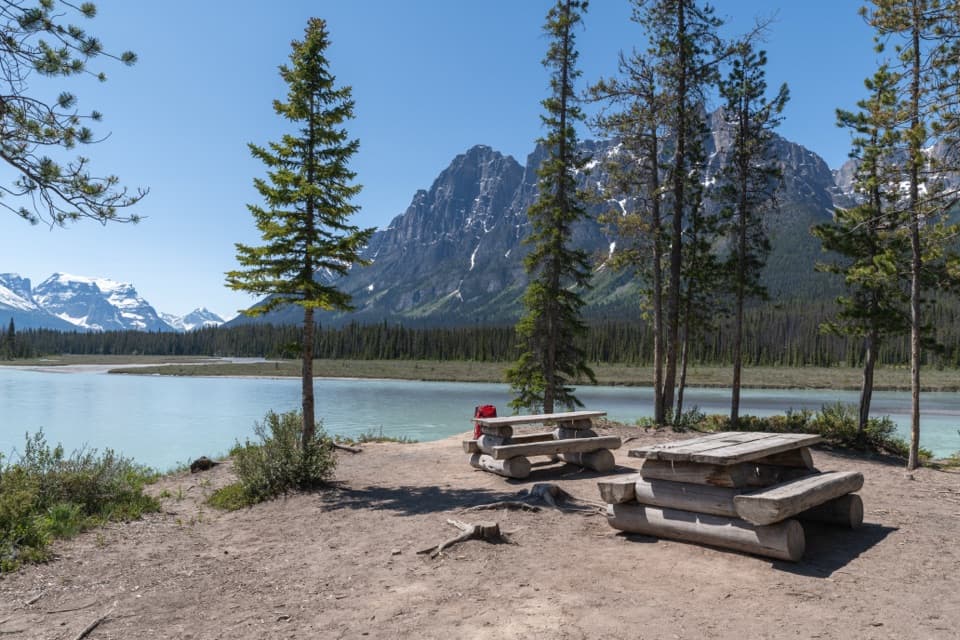 Campground · 5.4 km awayBig Bend Backcountry CampgroundFour riverside sites, 6.3 km into Chaba Trail.
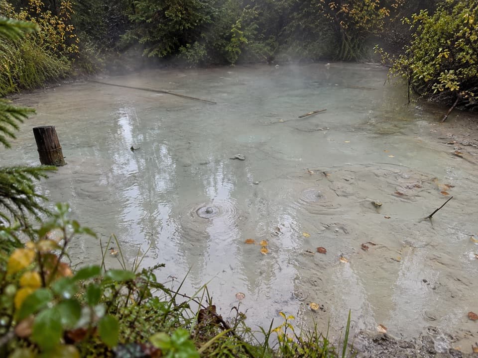 Picnic area · 5.9 km awayBubbling Springs Picnic AreaA picnic break beside a pale pool patterned with bubbles.
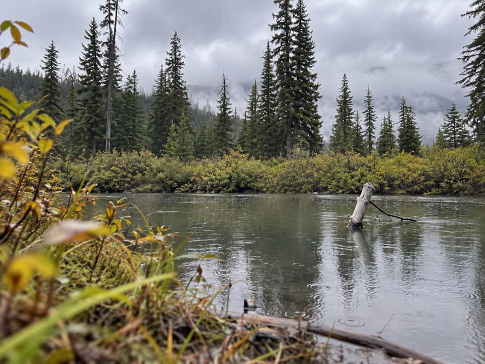 Campground · 9.4 km awaySchäffer Backcountry CampgroundA remote riverside stop on a 48 km backcountry route.
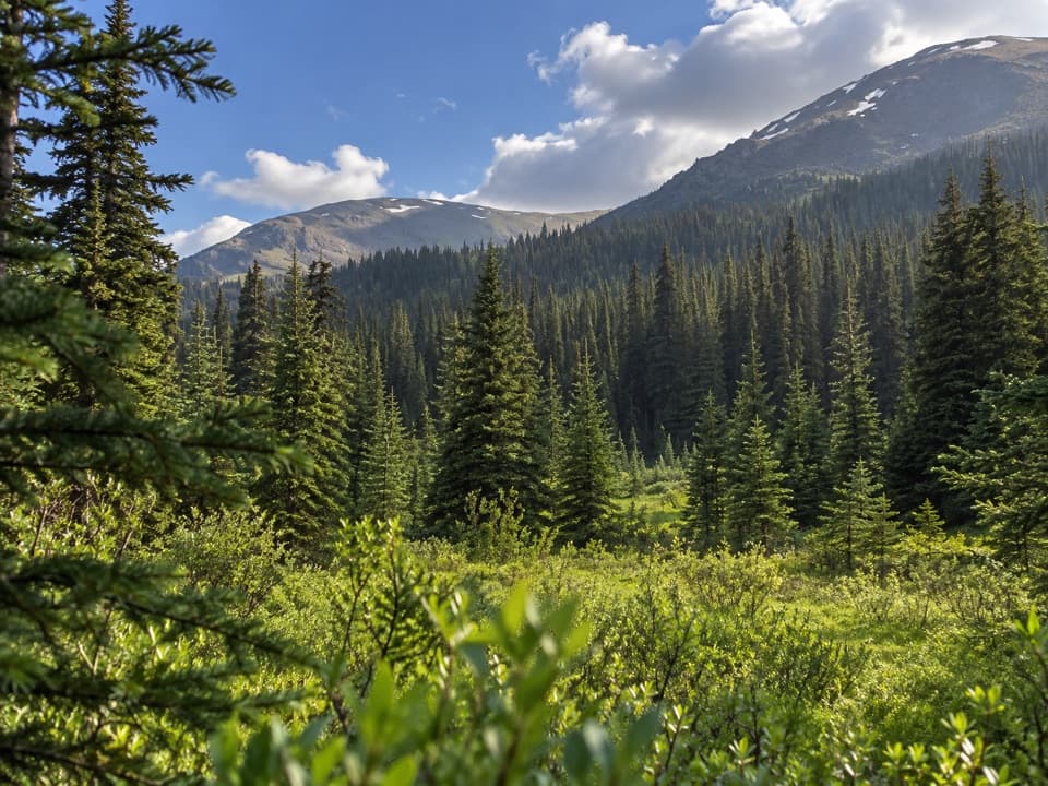 Campground · 11.2 km awayMary Vaux Backcountry CampgroundAn 18 km hike to a remote overnight camp on Maligne Pass.
Parkwolf’s Jasper ranking
The audio tour guide for the drive, plus offline maps, trails, and wildlife heatmaps for when the signal drops.




