Parking
Small parking area at the end of the rough, unpaved Geraldine Road, about 6 km from Highway 93A; no facilities.

Jasper National Park, AB
Rugged lakes-and-waterfalls climb to a backcountry campground beneath Jasper’s big peaks.
Overview
Map & elevation
Plan your hike

The highest, rockiest slopes around here are a summer buffet for grizzly bears.
Jasper Tour Guide
Parkwolf is a GPS audio tour guide for Jasper National Park. As you drive, it chimes in with what’s ahead: hidden gems, upcoming stops, history, geology, and wildlife, right through your car’s speakers.
See the Jasper audio tourRecorded for this trailhead
Geraldine Lakes Trail: A Rugged Backcountry Hike“Alright, you've made it to the Geraldine Lakes trailhead. This hike is a definite challenge, but the payoff is huge.”
Plays as you drive up to this trailhead in the Parkwolf Jasper Tour Guide.
More stories near here in the app
“Fantastic app with many points of information… It’s great to just turn on while you’re driving and it gives you an audio tour of the national Park. We love it!!!!”


Trail guide
A challenging out-and-back into a glaciated valley beneath Jasper’s big peaks. From the Geraldine Lakes trailhead, the maintained route climbs through dense forest beside the creek, passes waterfalls and First Geraldine Lake, then makes a steep climb to Second Lake. Continue along the lake to the backcountry campground at its far end. This is the signed Parks Canada route; there are no official signed trails beyond the campground.
Plan for 6.2 km each way—about 7.7 miles total (round-trip) to the campground. Parks Canada’s elevation profile begins at about 1,480 m and places the campground at 1,890 m; the route includes a steep 150 m climb shortly before Second Lake. Allow roughly 5–7 hours for the day hike, or 1–2 days if staying overnight. Expect roots, mud, creek noise, and rough, rocky sections, with the final 1.2 km along Second Lake relatively level but slow when wet.
The route strings together waterfalls, a powerful creek, alpine lakes, and rugged mountain walls. First Lake is an early payoff; Second Lake and its surrounding peaks feel more remote, especially once day hikers turn back. The trail is beautiful but not a groomed walk, and conditions can change quickly in the alpine valley.
Reach the trailhead by turning from Highway 93A onto the rough, unpaved Geraldine Road and driving about 6 km to the small parking area; there are no facilities at the lot. Dogs are permitted, but bikes and horses are not. The campground requires a Parks Canada backcountry reservation or permit. Expect rough footing, possible wet crossings, and route-finding challenges around rocky sections; carry bear spray and check Parks Canada’s current access and trail-status information before setting out.
Wear waterproof boots and bring poles for the muddy and rocky sections. Pack layers, insect repellent, and bear spray. If the boulders along Second Lake are slick, turn around rather than forcing the final stretch; overnight visitors should confirm their reservation and the current route conditions before leaving the trailhead.
Wildlife
 174 sightingsGrizzly BearMost seen around 8 PMSighting map
 43 sightingsCaribouMost seen around 7 AMSighting map
 40 sightingsGray WolfMost seen around 6 AMSighting map
 12 sightingsCanada LynxMost seen around 8 PMSighting map
 315 sightingsMooseMost seen around 6 AMSighting map
 1,028 sightingsElkMost seen around 7 AMSighting map
Sighting maps show where each species has been reported across Jasper. Wildlife moves, so no sighting is guaranteed.
Keep exploring
 EasyAthabasca Falls Loop0.8 km · 45 min · 4.7 km awayEasy, developed out-and-back to Jasper’s most powerful waterfall and canyonModerateWhirlpool River Trail13.4 km · 4.5 hr · 5.3 km awayHistoric Whirlpool River valley out-and-back to a riverside campgroundChallengingAthabasca Pass Trail48.4 km · 4 days · 5.3 km awayHistoric 48.5 km one-way backcountry route up the Whirlpool River valley to Athabasca PassEasyHorseshoe Lake Circuit1.6 km · 30 min · 8.1 km awayShort Horseshoe Lake lollipop with clear water, shoreline views, and cliff-top viewpointsModerateMoab Lake Trail15.1 km · 4 hr · 10.8 km awayA quiet, moderate road walk to a Moab Lake viewpoint via the Whirlpool valleyModerateLeach Lake Trail15.4 km · 4.5 hr · 10.8 km awayWinter route to Leach Lake with Mount Hardisty and Mount Kerkeslin views.
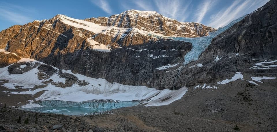 EasyPath of the Glacier (Mount Edith Cavell)1.6 km · 1 hr · 11.5 km awayBig glacier payoff on a tiny, family-friendly walk to Angel Glacier
 Campground · 3.3 km awayMt Kerkeslin CampgroundQuiet, riverside first‑come campground on the Icefields Parkway
 Lodging · 4.4 km awayHI Athabasca FallsRustic hostel steps from Athabasca Falls with a cozy cookhouse
 Sight · 4.5 km awayAthabasca FallsRoaring glacier-fed falls squeezed into a narrow quartzite canyon
 Scenic pullout · 4.7 km awayGoats and Glaciers ViewpointQuick goat-spotting pullout with glacier and river valley views
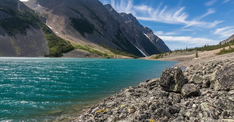 Sight · 6.8 km awayGeraldine LakesA chain of turquoise lakes linked by waterfalls and boulder fields
 Sight · 8.4 km awayHorseshoe LakeCliff-ringed turquoise lake just off the Parkway
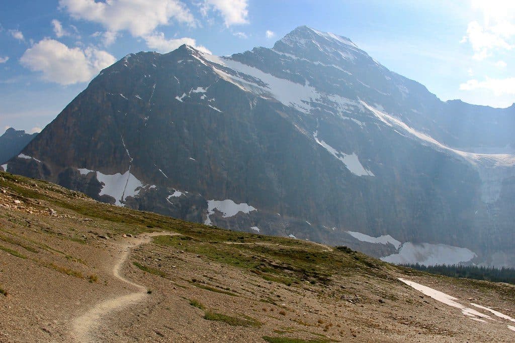 Sight · 10.4 km awayCavell MeadowsAlpine meadows and up-close views of Angel Glacier
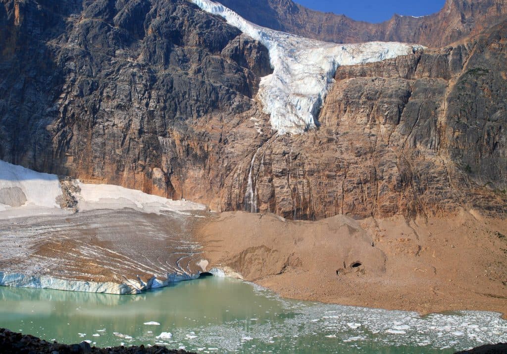 Sight · 10.6 km awayMount Edith CavellAngel Glacier views and wildflower meadows on Jasper’s signature peak
Parkwolf’s Jasper ranking

The audio tour guide for the drive, plus offline maps, trails, and wildlife heatmaps for when the signal drops.




