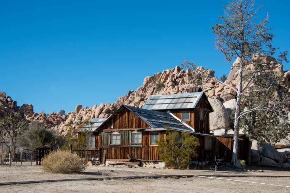
An easy access stop
Paved, level walkways lead to the buildings, and the parking lot has two accessible spaces. Outside, a small courtyard and picnic tables make it a handy place to pause on a long drive.
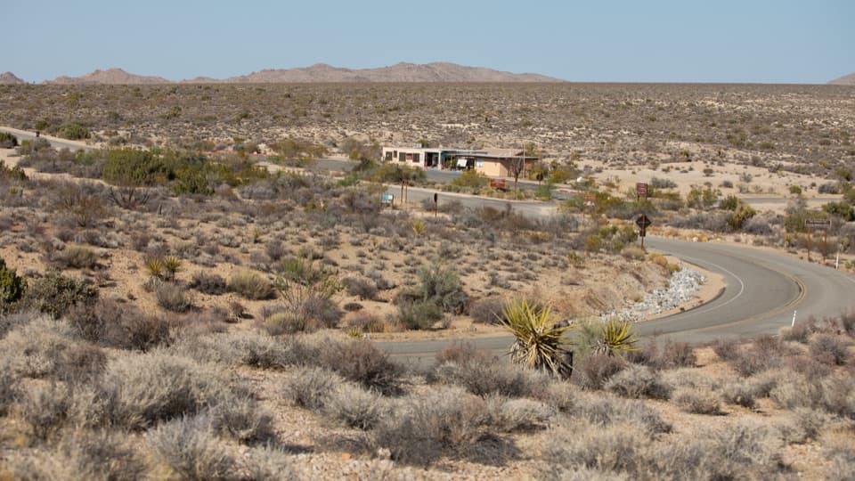
Visitor center · Joshua Tree National Park
Maps, drinking water, and ranger advice make this a useful first stop.
Overview
Map
Plan your stop

The highest, rockiest slopes around here are a summer buffet for grizzly bears.
Joshua Tree Tour Guide
Parkwolf is a GPS audio tour guide for Joshua Tree National Park. As you drive, it chimes in with what’s ahead: hidden gems, upcoming stops, history, geology, and wildlife, right through your car’s speakers.
See the Joshua Tree audio tourRecorded for this place
Cottonwood Visitor Center: Water, Maps and a View“Cottonwood Visitor Center is coming up, a useful south-side stop for drinking water, a map and ranger advice. There's a book-and-gift shop and picnic tables, but bring your own lunch; this isn't a meal stop.”
Plays as you drive up to Cottonwood Visitor Center in the Parkwolf Joshua Tree Tour Guide.
More stories near here in the app
“Fantastic app with many points of information… It’s great to just turn on while you’re driving and it gives you an audio tour of the national Park. We love it!!!!”


Guide
Cottonwood Visitor Center is a staffed information stop on Pinto Basin Road near Joshua Tree’s south entrance. Pick up a map or entrance pass, refill drinking water, and ask a ranger about routes or hikes; it works as a first or last stop on a south-side visit. From I-10, take exit 168 for Cottonwood Springs Road, enter at the South Entrance, and continue about six miles. The center is on your right. There’s a book-and-gift shop and picnic tables, but this isn’t a meal stop.
The one-story building has interpretive panels on geology, history, and geography, plus a life-size desert tortoise model. The shop carries books and gifts. If you collect park passport stamps, look for the dated Cottonwood stamp and picture stamps of a Joshua tree and a desert palm.
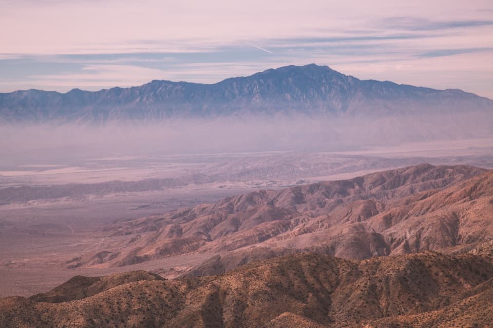
Cottonwood sits on a high desert plateau where the Mojave and Colorado deserts meet, with Eagle Mountain rising to the northeast. An east-facing window looks toward Eagle Mountain, Mastodon Peak, and the surrounding desert. Spring can bring yellow prince’s-plume flowers; after rain, ocotillo may grow fresh leaves and red blooms.
Wildlife
 129 sightingsBighorn SheepMost seen around 6 PMSighting map
 15 sightingsGolden EagleMost seen around 10 AMSighting map
 413 sightingsDesert TortoiseMost seen around 8 AMSighting map
 275 sightingsCoyoteMost seen around 6 AMSighting map
 47 sightingsBobcatMost seen around 6 PMSighting map
 32 sightingsMule DeerMost seen around 6 AMSighting map
Sighting maps show where each species has been reported across Joshua Tree. Wildlife moves, so no sighting is guaranteed.
Keep exploring
 ChallengingConejo Well Trail13.6 mi · 8.5 hr · 1.1 mi awayA remote desert roadbed to Conejo Well, with hard navigation.
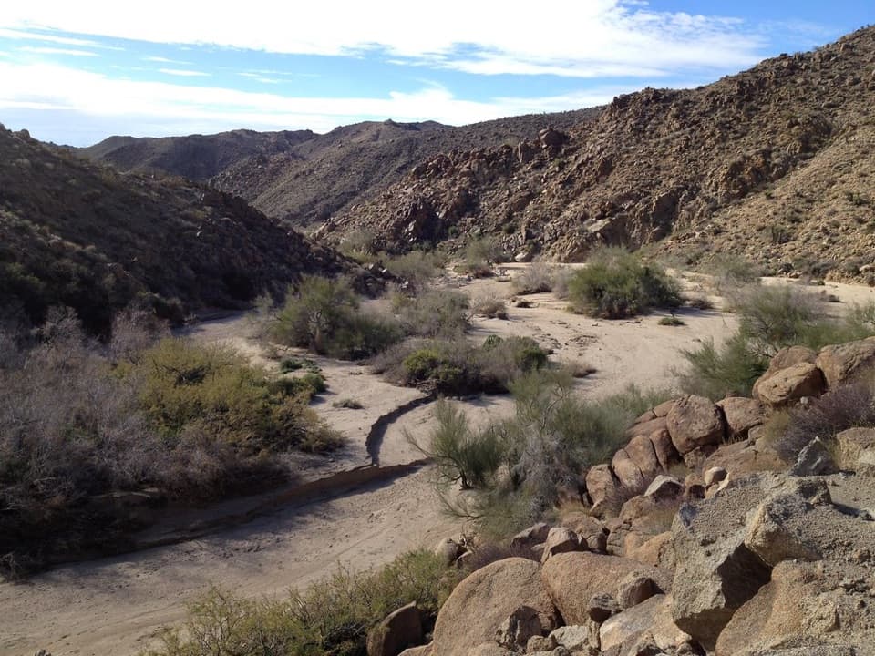 EasyMoorten’s Mill Trail1.2 mi · 1 hr · 1.1 mi awayFollow Cottonwood Wash to a five-stamp mill site.
 ModerateCottonwood Spring and Mastodon Peak Loop2.4 mi · 2 hr · 1.1 mi awayA 2.4-mile loop through bouldery canyons and old mine ruins.
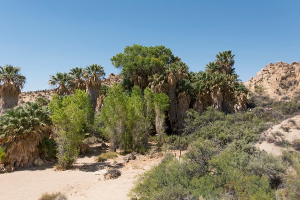 EasyCottonwood Spring Nature Trail0.2 mi · 15 min · 1.1 mi awayFan palms and a Cahuilla mortar, a few minutes from the lot.
 ChallengingLost Palms Oasis Trail7.5 mi · 4 hr · 1.1 mi awayA long desert hike ends at palms tucked below a rocky bluff.
 EasyBajada Nature Trail0.3 mi · 18 min · 4.8 mi awayA short, flat loop through Colorado Desert plant life.
 Picnic area · 0.6 mi awayCottonwood Picnic AreaCovered tables make this a useful meal stop in the southern park.
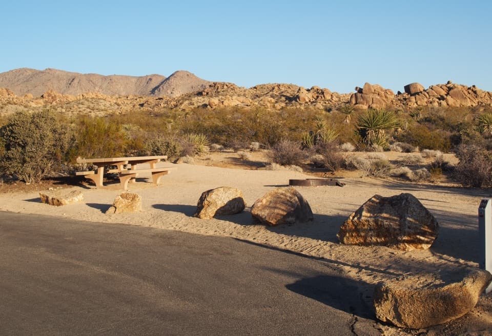 Campground · 0.7 mi awayCottonwood CampgroundDark-sky camping with a signed path to Cottonwood Spring.Sight · 1.2 mi awayCottonwood SpringPalm oasis, Cahuilla mortars and gold-mill remains, steps from the road.
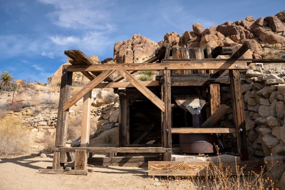 Sight · 1.7 mi awayMastodon MineA close-up look at mining history on the Mastodon Peak loop.
 Sight · 4.3 mi awayLost Palms OasisA rare palm oasis, reached only after a long desert hike.
Parkwolf’s Joshua Tree ranking

The audio tour guide for the drive, plus offline maps, trails, and wildlife heatmaps for when the signal drops.