Parking
Use the Cottonwood Spring parking area off Cottonwood Springs Road. Follow the signed path toward Campground Loop B; the reported route leaves behind campsite B17, so confirm access if that site is occupied.

Joshua Tree National Park, CA
A remote desert roadbed to Conejo Well, with hard navigation.
Overview
Map & elevation
Plan your hike

The highest, rockiest slopes around here are a summer buffet for grizzly bears.
Joshua Tree Tour Guide
Parkwolf is a GPS audio tour guide for Joshua Tree National Park. As you drive, it chimes in with what’s ahead: hidden gems, upcoming stops, history, geology, and wildlife, right through your car’s speakers.
See the Joshua Tree audio tourRecorded for this area
Cottonwood Spring for a Short Oasis Stop“You're coming up on Cottonwood Spring, an oasis of fan palms and native cottonwoods a short walk from the parking lot. Allow ten to twenty minutes for the easy path, staying outside the protected grove.”
Plays near this trailhead in the Parkwolf Joshua Tree Tour Guide.
More stories near here in the app
“Fantastic app with many points of information… It’s great to just turn on while you’re driving and it gives you an audio tour of the national Park. We love it!!!!”


Trail guide
Conejo Well Trail is a remote out-and-back from Cottonwood Spring parking to the Conejo Well area, crossing the desert east of Eagle Mountain on an old vehicle roadbed. The walk is about 13.6 miles by the mapped corridor; one recorded hike came out to 14.02, so plan on roughly 14 miles and a full day. Allow around eight hours with stops. I’d choose it only if you want a long, faint route and are comfortable navigating off a maintained trail. The payoff is open country and a modest, uncertain destination, not a developed historic site.
From the parking area, follow the signed path toward Cottonwood Campground Loop B. The detailed route description leaves the campground behind campsite B17. That short section is not shown as an official trail, and access through an occupied campsite is unclear. Don’t cross someone’s campsite; confirm a public way through the campground before setting out. Beyond Loop B, the route is an informal, unmaintained track rather than a signed National Park Service trail.
For roughly the first two miles, the former vehicle road is sandy and easier to pick out. Look for the straight parallel gaps in the vegetation left by the tires. Washes repeatedly cut across it and can look like the route, so keep checking the line instead of following the easiest-looking wash. The trail rises gently along a ridge, then drops through a gap between Eagle Mountain and lower rocky hills. A large boulder about 2.7 miles from the lot makes a useful shorter turnaround and has a view.
Past about three miles, the ground gets rockier and the track is harder to follow. In the gap, several washes run the same way; a standalone rock pile is a useful landmark. Farther around Eagle Mountain, a broad wash leads to a branch that turns toward the well area. Don’t follow the uphill branch toward the mountain if you’re doing the well walk. The return follows the same route back to Cottonwood.
Expect a quiet, understated endpoint: a few rusty pipes in the ground, large rocks that offer shade, and a nearby rise with long views across the desert and layered mountain ranges. The trip description itself was unsure of the exact well location. The mapped path ends a short walk from the map label, and that final bit is not clearly traced, so treat the destination as an area rather than a signed feature.
If the full day is too much, the boulder around 2.7 miles in is a reasonable turn-around for about 5.4 miles round trip. It still uses the faint roadbed and the same campground approach, so it’s shorter but not a marked nature walk.
There’s no water or food service along the route. The campground has water and restrooms, but bring all your hiking water; park backcountry guidance recommends at least a gallon per person per day. The route is mostly open desert, and Joshua Tree weather can swing from severe heat to cold, wind, and heavy rain. Cell service is limited, so use an offline map and keep your phone charged. Pets aren’t allowed on this trail. Overnight backcountry stays require a park permit.
Wildlife
 129 sightingsBighorn SheepMost seen around 6 PMSighting map
 15 sightingsGolden EagleMost seen around 10 AMSighting map
 413 sightingsDesert TortoiseMost seen around 8 AMSighting map
 275 sightingsCoyoteMost seen around 6 AMSighting map
 47 sightingsBobcatMost seen around 6 PMSighting map
 32 sightingsMule DeerMost seen around 6 AMSighting map
Sighting maps show where each species has been reported across Joshua Tree. Wildlife moves, so no sighting is guaranteed.
Keep exploring
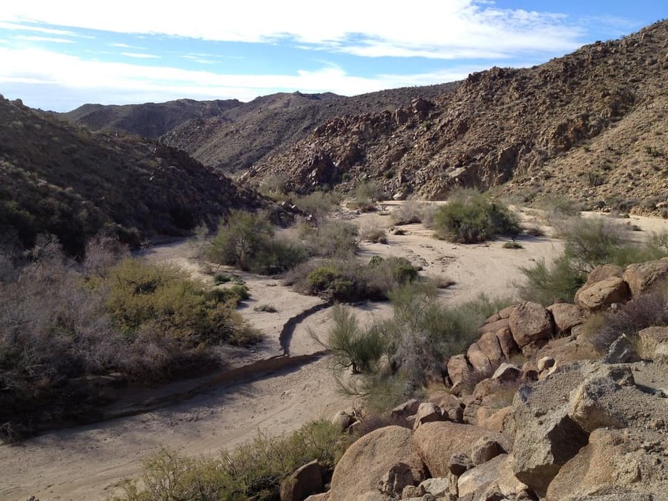 EasyMoorten’s Mill Trail1.2 mi · 1 hr · At the trailheadFollow Cottonwood Wash to a five-stamp mill site.
 ModerateCottonwood Spring and Mastodon Peak Loop2.4 mi · 2 hr · At the trailheadA 2.4-mile loop through bouldery canyons and old mine ruins.
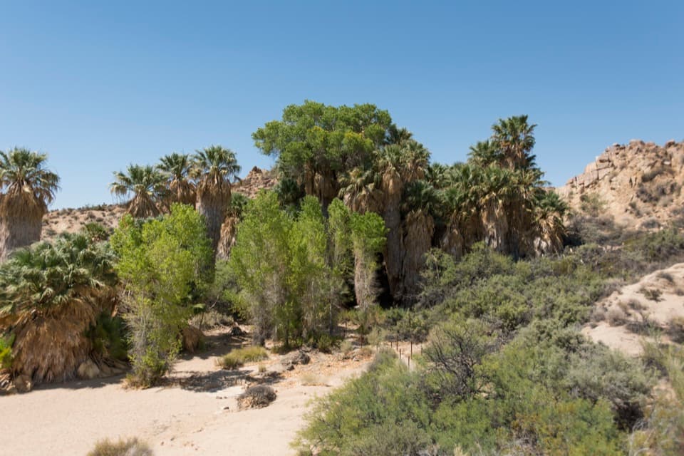 EasyCottonwood Spring Nature Trail0.2 mi · 15 min · At the trailheadFan palms and a Cahuilla mortar, a few minutes from the lot.
 ChallengingLost Palms Oasis Trail7.5 mi · 4 hr · At the trailheadA long desert hike ends at palms tucked below a rocky bluff.
 EasyBajada Nature Trail0.3 mi · 18 min · 3.9 mi awayA short, flat loop through Colorado Desert plant life.
 EasyCholla Cactus Garden Nature Trail0.3 mi · 21 min · 14.7 mi awayA quarter-mile loop through thousands of teddy-bear cholla.Sight · 0.1 mi awayCottonwood SpringPalm oasis, Cahuilla mortars and gold-mill remains, steps from the road.
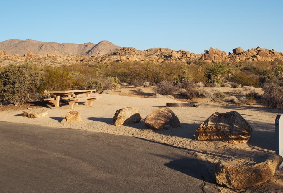 Campground · 0.5 mi awayCottonwood CampgroundDark-sky camping with a signed path to Cottonwood Spring.
 Picnic area · 0.5 mi awayCottonwood Picnic AreaCovered tables make this a useful meal stop in the southern park.
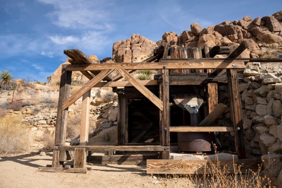 Sight · 0.7 mi awayMastodon MineA close-up look at mining history on the Mastodon Peak loop.
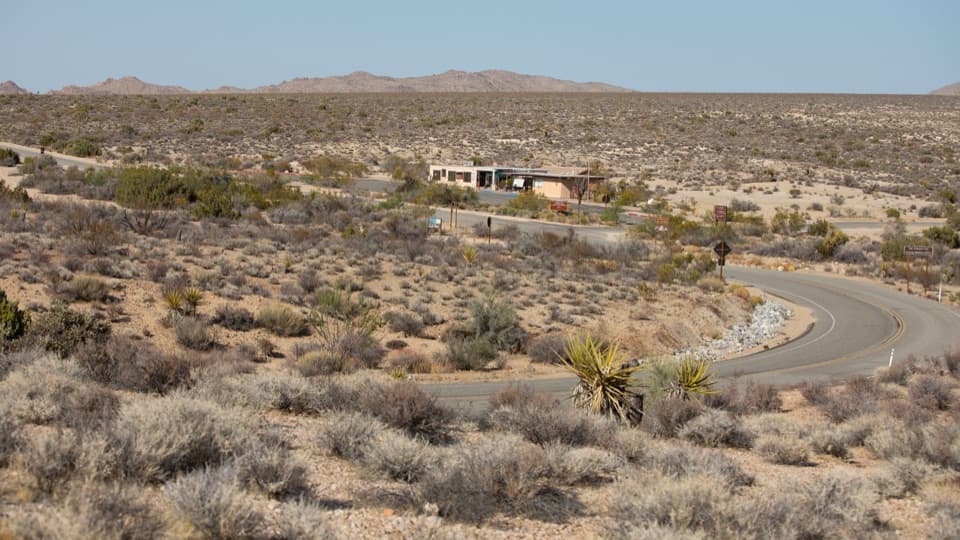 Visitor center · 1.1 mi awayCottonwood Visitor CenterMaps, drinking water, and ranger advice make this a useful first stop.
 Sight · 3.2 mi awayLost Palms OasisA rare palm oasis, reached only after a long desert hike.
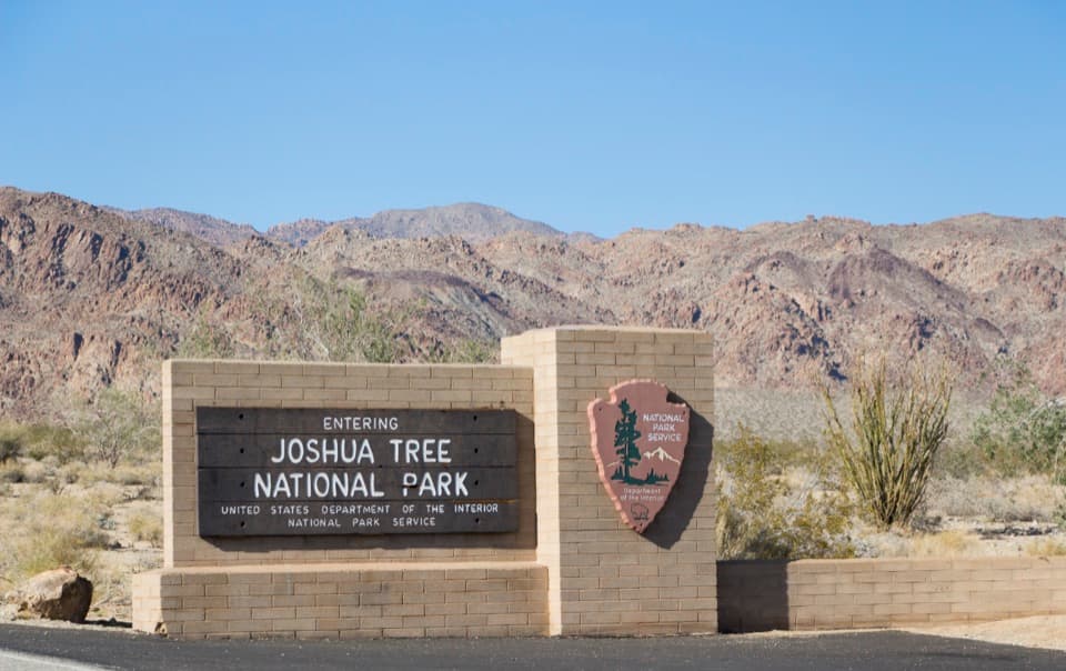 Sight · 4.3 mi awaySouth Entrance Welcome SignA wooden welcome sign against the Colorado Desert and rocky peaks.
 Scenic pullout · 8.6 mi awayPinto Basin PulloutA broad basin view with dark skies worth staying for.
Parkwolf’s Joshua Tree ranking

The audio tour guide for the drive, plus offline maps, trails, and wildlife heatmaps for when the signal drops.




