Cottonwood Spring and Mastodon Peak Loop in Joshua Tree National Park

Joshua Tree National Park, CA

Cottonwood Spring and Mastodon Peak Loop

A 2.4-mile loop through bouldery canyons and old mine ruins.

Length
2.4mi
Time
2hr
Elev. change
328ft
Difficulty
Moderate
  • Loop
  • No dogs
  • High point 3,307 ft
  • #16 of 60 in Joshua Tree

Hear the audio tour

Cottonwood Spring for a Short Oasis Stop

Overview

About Cottonwood Spring and Mastodon Peak Loop

Why go

  • Oasis, boulder canyons and mine ruins in one short circuit.
  • The summit scramble is optional; the maintained loop stays moderate.

Heads up

  • The sandy-wash exit is easy to walk past.
  • No shade or cell service on an exposed desert route.

Map & elevation

The route

Loading the Joshua Tree map
Full map
Elevation2,979–3,307 ft
TrailheadCottonwood Spring Parking Area33.73705, -115.81075
Keep this map with you offline in the Parkwolf app

Plan your hike

Before you go

Parking

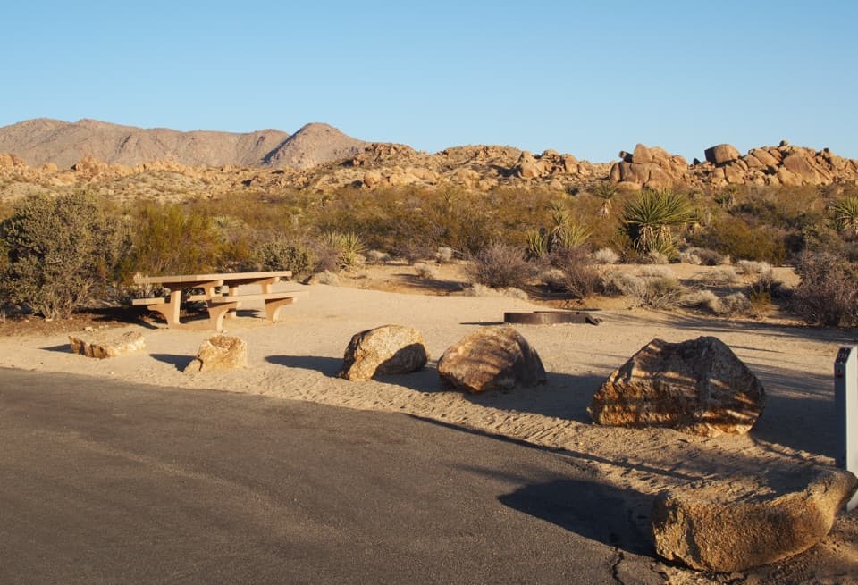
Use the Cottonwood Spring parking area at the end of Cottonwood Springs Road. The paved path to the oasis begins beside the lot, and the loop returns to this access. Cottonwood Campground has water, flush toilets and shaded picnic tables about a half-mile from the spring by a signed trail.

Safety

There is no shade or cell service; hot weather can make this short route serious. Watch for the easy-to-miss turn where the path leaves the sandy wash. The unmaintained Mastodon Peak spur is a separate exposed scramble above steep drop-offs and is not part of this mapped loop. Pets are not allowed on hiking trails. Stay out of abandoned mine workings.

5 active Joshua Tree alerts

  • ClosureOasis of Mara Trail closed past the OasisThe Oasis of Mara Trail is closed past the Oasis due to a heavy flooding event; do not continue beyond the Oasis. Check current park conditions before visiting.Official details
  • ClosureSR 62 and US 95 closed by floodingFlooding has closed portions of SR 62 and US 95; avoid the closed segments.Official details
See all 5 alerts
A park ranger sits on a dash-mounted phone, talking, as Parkwolf’s Tour Guide plays “Army Cutworm Moths: A Grizzly Bear Buffet” on Grand Loop Road below Dunraven Pass in Yellowstone
Parkwolf Tour GuideThe highest, rockiest slopes around here are a summer buffet for grizzly bears.

Joshua Tree Tour Guide

Your drive to Cottonwood Spring and Mastodon Peak Loop, narrated.

Parkwolf is a GPS audio tour guide for Joshua Tree National Park. As you drive, it chimes in with what’s ahead: hidden gems, upcoming stops, history, geology, and wildlife, right through your car’s speakers.

See the Joshua Tree audio tour

Recorded for this trailhead

Cottonwood Spring for a Short Oasis Stop
0:00 / 0:32
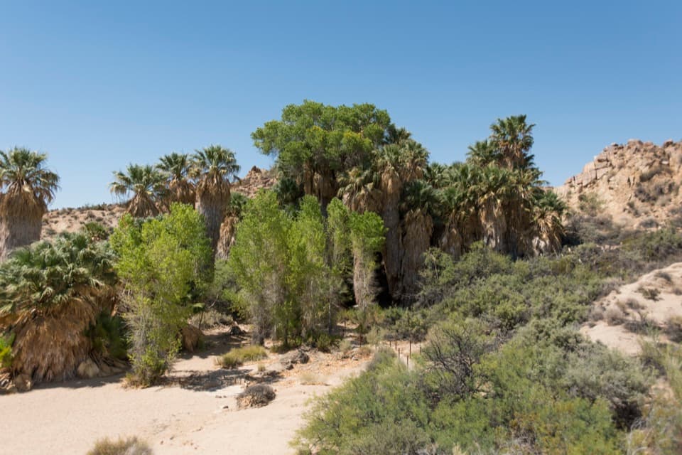
“You're coming up on Cottonwood Spring, an oasis of fan palms and native cottonwoods a short walk from the parking lot. Allow ten to twenty minutes for the easy path, staying outside the protected grove.”

Plays as you drive up to this trailhead in the Parkwolf Joshua Tree Tour Guide.

More stories near here in the app

  • Cottonwood Picnic Area and Campground
  • The Milky Way's Dark Lane
  • Cottonwood Visitor Center: Water, Maps and a View
  • The Tortoise Underground
  • 89 audio storiesacross Joshua Tree’s roads, triggered by GPS as you drive
  • Wildlife heatmapsfor Bighorn Sheep, Golden Eagle, Desert Tortoise, and 13 more
  • Works offlinemaps, 60 trails, 64 places, and audio download before you lose signal
  • CarPlay readysimple controls built for the drive
★★★★★
“Fantastic app with many points of information… It’s great to just turn on while you’re driving and it gives you an audio tour of the national Park. We love it!!!!”
JMJamesApp Store review
Download Parkwolf on the App StoreGet Parkwolf on Google Play

4.7 from 8,600+ ratings

Trail guide

Hiking Cottonwood Spring and Mastodon Peak Loop

The loop and its scaleCottonwood Spring and Mastodon Peak Loop is a 2.

Cottonwood Spring and Mastodon Peak Loop is a 2.4-mile circuit from the Cottonwood Spring parking area. It first drops to a palm oasis, follows the Lost Palms route, then climbs through bouldery canyons and returns to the same access. Allow about two hours for this moderate, rocky walk. The mapped loop does not climb Mastodon Peak itself; the exposed, unmaintained summit scramble is a separate option. I’d do the loop for the mix of oasis, granite and mining history, then skip the scramble if steep rock and drop-offs aren’t your thing.

Where the turns matterA paved path descends from the road-end lot to Cottonwood Spring.

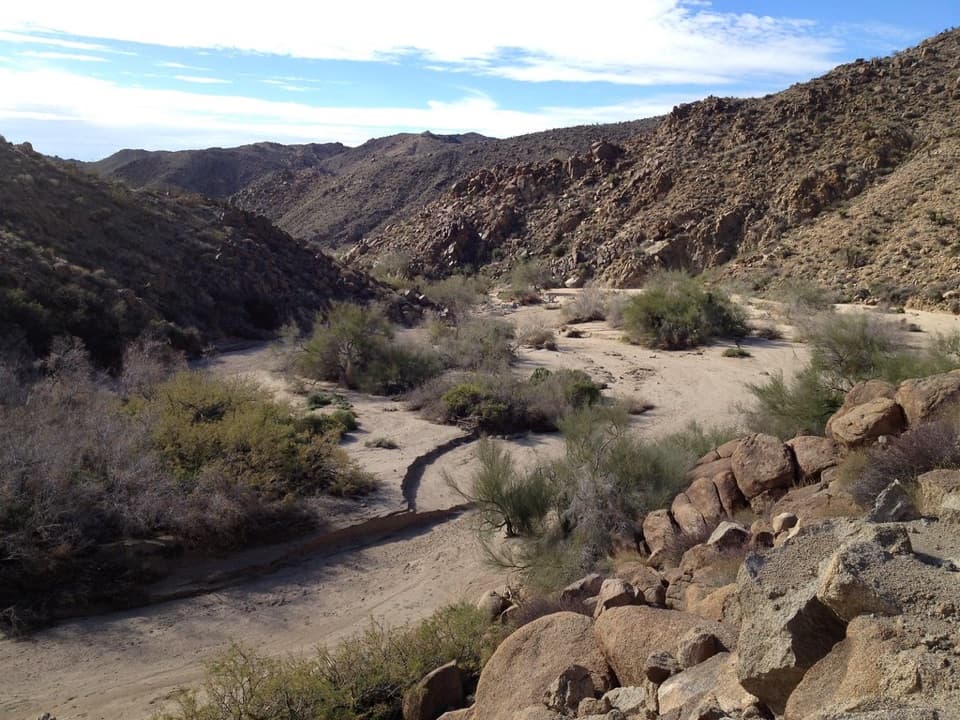
A paved path descends from the road-end lot to Cottonwood Spring. Follow the Lost Palms route for nearly half a mile beyond the spring, then take the Mastodon loop branch. The climb threads through Sonoran scrub and boulder-strewn gullies before the route drops into a sandy wash. Watch for the path leaving the wash; it’s easy to keep following the wash past the turn. At the four-way wash junction, stay on the loop return. The campground and Winona Mill Site are separate walks, not part of this mapped distance.

The peak is extraThe maintained loop comes close to Mastodon Peak, but reaching the summit means taking an…

The maintained loop comes close to Mastodon Peak, but reaching the summit means taking an unmaintained spur over steep, exposed rock. You may need your hands for balance, and there are real drop-offs. Turn back if that stops feeling comfortable. The summit opens wide views across southern Joshua Tree toward the San Bernardino and San Jacinto ranges; the Salton Sea may show on a clear day. The scramble is optional and not included in the 2.4 miles.

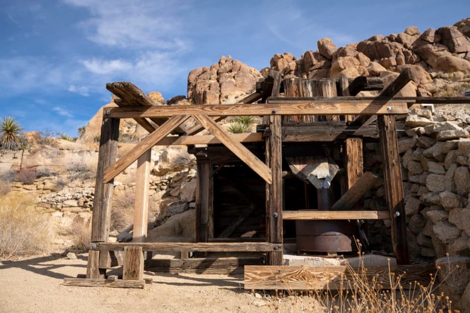
Mine countryThe Mastodon Mine ruins are a memorable stop along the loop.

The Mastodon Mine ruins are a memorable stop along the loop. Cottonwood Spring was an important water stop for miners and teamsters traveling between Mecca and mines farther north; water powered gold processing here, and remains of an old arrastra and later mills sit around the oasis. A separate branch reaches the Winona Mill Site, but it adds walking. Look from outside and stay out of abandoned mine workings.

From oasis to desert scrubThe fan palms at Cottonwood Spring mark a rare permanent water source in this dry corner of the…

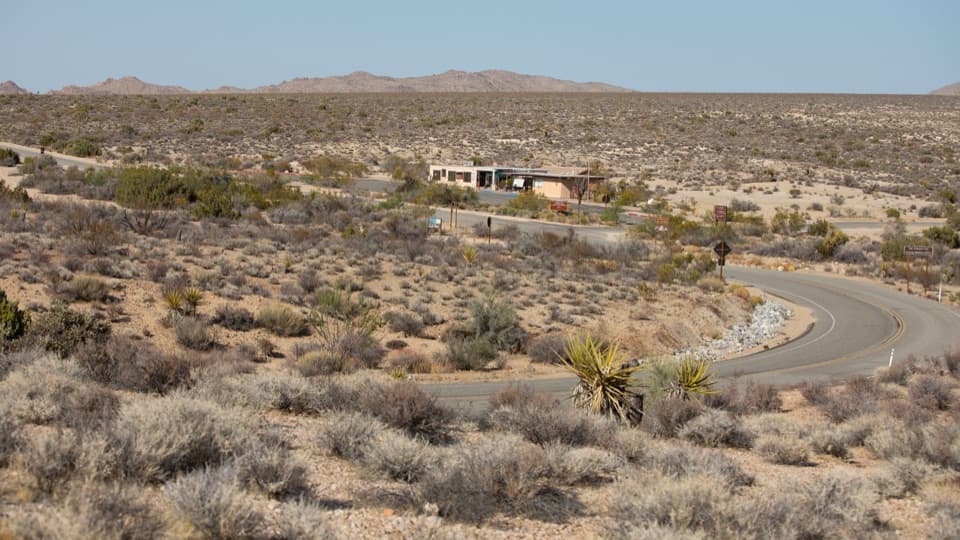
The fan palms at Cottonwood Spring mark a rare permanent water source in this dry corner of the park. Beyond the oasis, the route crosses Colorado Desert Sonoran scrub, including graythorn and Bigelow nolina. The pale split boulders make a strong foreground for a photo; include the trail or a hiker for scale instead of pointing the camera at an empty horizon.

Before you set outThere’s no shade or cell service on the loop, and summer heat can be severe, so choose a cooler…

There’s no shade or cell service on the loop, and summer heat can be severe, so choose a cooler day or hike early. Cottonwood Campground has water, flush toilets and shaded picnic tables about a half-mile from the spring by a signed trail; those facilities are off-route, not a refill stop along the loop. Pets are not allowed on park hiking trails.

Wildlife

Wildlife in Joshua Tree

All Joshua Tree wildlife maps

Sighting maps show where each species has been reported across Joshua Tree. Wildlife moves, so no sighting is guaranteed.

Keep exploring

Near Cottonwood Spring and Mastodon Peak Loop

See it all on the map

Trails that start nearby

Places near the trailhead

Parkwolf’s Joshua Tree ranking

Top-rated trails in Joshua Tree

All 60 trails
  1. 1Hidden Valley Nature TrailEasy · 1 mi
  2. 2Barker Dam Nature TrailEasy · 1.3 mi
  3. 3Ryan Mountain TrailChallenging · 3 mi
  4. 4Fortynine Palms Oasis TrailChallenging · 3 mi
  5. 5Lost Palms Oasis TrailChallenging · 7.5 mi
  6. 6Arch Rock TrailEasy · 1.3 mi

Take Parkwolf to Joshua Tree.

The audio tour guide for the drive, plus offline maps, trails, and wildlife heatmaps for when the signal drops.

4.7 from 8,600+ ratings

Download Parkwolf on the App StoreGet Parkwolf on Google Play