Bajada Nature Trail in Joshua Tree National Park

Joshua Tree National Park, CA

Bajada Nature Trail

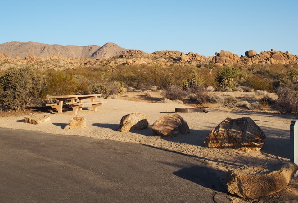
A short, flat loop through Colorado Desert plant life.

Photo: Public Domain
Length
0.3mi
Time
18min
Elevation
Flat
Difficulty
Easy
  • Loop
  • No dogs
  • High point 1,929 ft

Hear the audio tour

Bajada Nature Trail: A Short Plant Walk

Overview

About Bajada Nature Trail

Why go

  • A quick, flat introduction to Colorado Desert plants.
  • Interpretive signs and a short boardwalk add variety to the loop.

Heads up

  • Very little shade.
  • Too short and low-key if you want a substantial hike or dramatic scenery.

Map & elevation

The route

Loading the Joshua Tree map
Full map
Elevation1,909–1,929 ft
TrailheadBajada Trailhead33.68132, -115.80173
Keep this map with you offline in the Parkwolf app

Plan your hike

Before you go

Parking

Use the signed Bajada Trailhead pull-in on Cottonwood Springs Road near the South Entrance. There are 11 spaces, including one standard accessible space. The nearest restroom is at Cottonwood Visitor Center, about 5.6 miles north on Pinto Basin Road.

Safety

There is little to no shade. The parking-to-ramp transitions can have level changes over one inch depending on weather, and one boardwalk section is narrow. Pets are not allowed on hiking trails in Joshua Tree.

5 active Joshua Tree alerts

  • ClosureOasis of Mara Trail closed past the OasisThe Oasis of Mara Trail is closed past the Oasis due to a heavy flooding event; do not continue beyond the Oasis. Check current park conditions before visiting.Official details
  • ClosureSR 62 and US 95 closed by floodingFlooding has closed portions of SR 62 and US 95; avoid the closed segments.Official details
See all 5 alerts
A park ranger sits on a dash-mounted phone, talking, as Parkwolf’s Tour Guide plays “Army Cutworm Moths: A Grizzly Bear Buffet” on Grand Loop Road below Dunraven Pass in Yellowstone
Parkwolf Tour GuideThe highest, rockiest slopes around here are a summer buffet for grizzly bears.

Joshua Tree Tour Guide

Your drive to Bajada Nature Trail, narrated.

Parkwolf is a GPS audio tour guide for Joshua Tree National Park. As you drive, it chimes in with what’s ahead: hidden gems, upcoming stops, history, geology, and wildlife, right through your car’s speakers.

See the Joshua Tree audio tour

Recorded for this trailhead

Bajada Nature Trail: A Short Plant Walk
0:00 / 0:25
“You're approaching Bajada Nature Trail, a short loop for a closer look at Colorado Desert plants. Allow fifteen to twenty minutes for the flat, roughly third-of-a-mile walk on hard-packed sand.”

Plays as you drive up to this trailhead in the Parkwolf Joshua Tree Tour Guide.

More stories near here in the app

  • A Food Supply in the Mesquite
  • The Tortoise Underground
  • The Milky Way's Dark Lane
  • Cottonwood Spring for a Short Oasis Stop
  • 89 audio storiesacross Joshua Tree’s roads, triggered by GPS as you drive
  • Wildlife heatmapsfor Bighorn Sheep, Golden Eagle, Desert Tortoise, and 13 more
  • Works offlinemaps, 60 trails, 64 places, and audio download before you lose signal
  • CarPlay readysimple controls built for the drive
★★★★★
“Fantastic app with many points of information… It’s great to just turn on while you’re driving and it gives you an audio tour of the national Park. We love it!!!!”
JMJamesApp Store review
Download Parkwolf on the App StoreGet Parkwolf on Google Play

4.7 from 8,600+ ratings

Trail guide

Hiking Bajada Nature Trail

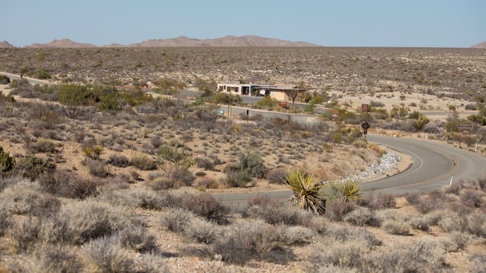
A quick loop through the low desertBajada Nature Trail is a flat interpretive loop near Joshua Tree's South Entrance.

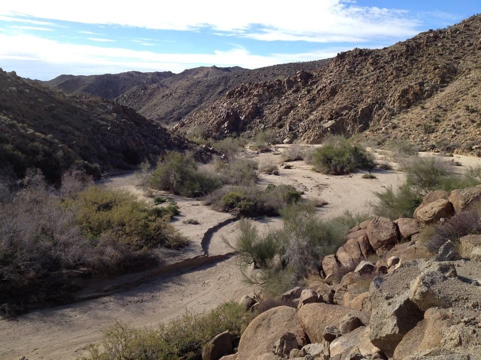
Bajada Nature Trail is a flat interpretive loop near Joshua Tree's South Entrance. The complete walk from the trailhead lot and back follows about 0.3 miles of hard-packed sand, with roughly 20 feet of gain; allow 15 to 20 minutes. The park lists the loop at a quarter-mile, while the mapped walk measures about 0.32 miles with the short access connector included. Come for a close look at desert plants, not a long hike or a big viewpoint.

Read the plants as you walkInterpretive signs explain how common Colorado Desert plants handle intense heat and little…

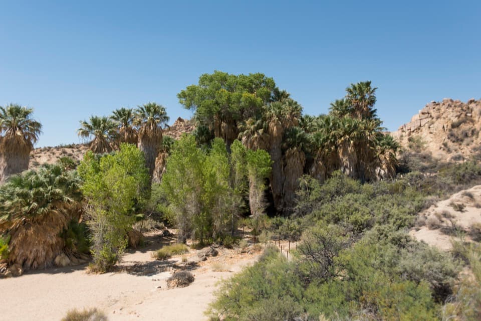
Interpretive signs explain how common Colorado Desert plants handle intense heat and little rain, along with their uses. The route stays low and open, so the point is noticing the plants and the way they grow in this dry landscape rather than reaching a single destination.

Flowers depend on winter rainAfter wet winters, wildflowers can brighten the trail in February and March, but the display is…

After wet winters, wildflowers can brighten the trail in February and March, but the display is occasional. There's little to no shade even though the loop is quick, so the short distance does not make hot conditions feel trivial.

Wildlife

Wildlife in Joshua Tree

All Joshua Tree wildlife maps

Sighting maps show where each species has been reported across Joshua Tree. Wildlife moves, so no sighting is guaranteed.

Parkwolf’s Joshua Tree ranking

Top-rated trails in Joshua Tree

All 60 trails
  1. 1Hidden Valley Nature TrailEasy · 1 mi
  2. 2Barker Dam Nature TrailEasy · 1.3 mi
  3. 3Ryan Mountain TrailChallenging · 3 mi
  4. 4Fortynine Palms Oasis TrailChallenging · 3 mi
  5. 5Lost Palms Oasis TrailChallenging · 7.5 mi
  6. 6Arch Rock TrailEasy · 1.3 mi

Take Parkwolf to Joshua Tree.

The audio tour guide for the drive, plus offline maps, trails, and wildlife heatmaps for when the signal drops.

4.7 from 8,600+ ratings

Download Parkwolf on the App StoreGet Parkwolf on Google Play