Parking
Use the paved Cottonwood Spring parking area at the end of the access road from Cottonwood Visitor Center. The campground’s water and restrooms are a separate signed walk, not at the mill trail.
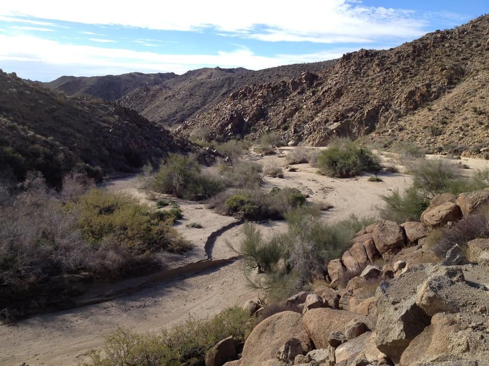
Joshua Tree National Park, CA
Follow Cottonwood Wash to a five-stamp mill site.
Overview
Map & elevation
Plan your hike

The highest, rockiest slopes around here are a summer buffet for grizzly bears.
Joshua Tree Tour Guide
Parkwolf is a GPS audio tour guide for Joshua Tree National Park. As you drive, it chimes in with what’s ahead: hidden gems, upcoming stops, history, geology, and wildlife, right through your car’s speakers.
See the Joshua Tree audio tourRecorded for this area
Cottonwood Spring for a Short Oasis Stop“You're coming up on Cottonwood Spring, an oasis of fan palms and native cottonwoods a short walk from the parking lot. Allow ten to twenty minutes for the easy path, staying outside the protected grove.”
Plays near this trailhead in the Parkwolf Joshua Tree Tour Guide.
More stories near here in the app
“Fantastic app with many points of information… It’s great to just turn on while you’re driving and it gives you an audio tour of the national Park. We love it!!!!”


Trail guide
Moorten’s Mill Trail is an out-and-back down Cottonwood Wash to the remains of a 1930s gold mill. Plan on about 1.2 miles round trip and around an hour from the Cottonwood Spring parking area. The approach leaves the paved lot over hard-packed dirt and sand, then follows the wash through palo verde and desert willow. The payoff is mining history and a closer look at the desert wash, not a summit or a big overlook.
The route goes south through the wash. About a quarter mile from the spring, the older route description notes the remains of a freight wagon road. Little Chilcoot Pass, built by miners in the 1880s, skirts a rock waterfall before dropping into Cottonwood Canyon; the trail continues about another quarter mile to the mill site on the canyon’s west edge. The route line is not published by the park today, and the older map is diagrammatic, so confirm the wash entry with a ranger before heading out.
“Cactus” Slim Moorten built a five-stamp mill here in 1934 to process ore from three claims, then abandoned the operation in 1939. The old brochure said little of the mill and cabin remained, so expect a modest ruin rather than a restored exhibit. Bighorn sheep sometimes come up the wash for water in the early hours; a sighting is possible, not promised.
The park road ends at the Cottonwood Spring trailhead. This is a desert wash, so carry water and stay out when storms or heavy rain threaten flooding. The park does not allow pets on its trails. Water and restrooms at Cottonwood Campground are a separate signed walk from the spring, not facilities on this route.
Wildlife
 129 sightingsBighorn SheepMost seen around 6 PMSighting map
 15 sightingsGolden EagleMost seen around 10 AMSighting map
 413 sightingsDesert TortoiseMost seen around 8 AMSighting map
 275 sightingsCoyoteMost seen around 6 AMSighting map
 47 sightingsBobcatMost seen around 6 PMSighting map
 32 sightingsMule DeerMost seen around 6 AMSighting map
Sighting maps show where each species has been reported across Joshua Tree. Wildlife moves, so no sighting is guaranteed.
Keep exploring
 ChallengingConejo Well Trail13.6 mi · 8.5 hr · At the trailheadA remote desert roadbed to Conejo Well, with hard navigation.
 ModerateCottonwood Spring and Mastodon Peak Loop2.4 mi · 2 hr · At the trailheadA 2.4-mile loop through bouldery canyons and old mine ruins.
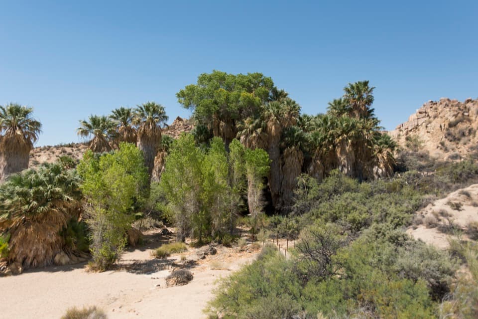 EasyCottonwood Spring Nature Trail0.2 mi · 15 min · At the trailheadFan palms and a Cahuilla mortar, a few minutes from the lot.
 ChallengingLost Palms Oasis Trail7.5 mi · 4 hr · At the trailheadA long desert hike ends at palms tucked below a rocky bluff.
 EasyBajada Nature Trail0.3 mi · 18 min · 3.9 mi awayA short, flat loop through Colorado Desert plant life.
 EasyCholla Cactus Garden Nature Trail0.3 mi · 21 min · 14.7 mi awayA quarter-mile loop through thousands of teddy-bear cholla.Sight · 0.1 mi awayCottonwood SpringPalm oasis, Cahuilla mortars and gold-mill remains, steps from the road.
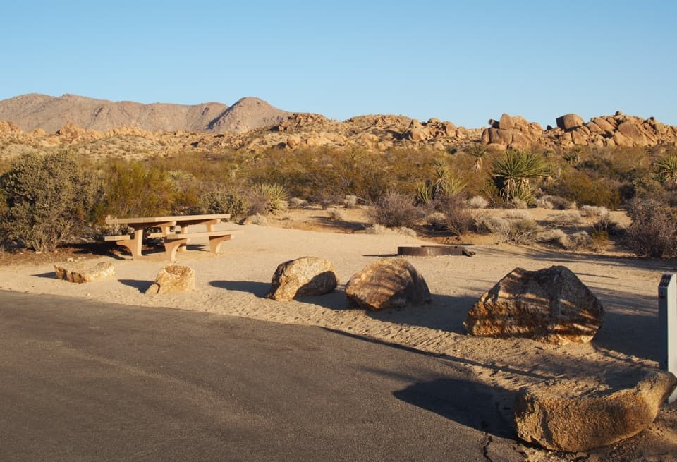 Campground · 0.5 mi awayCottonwood CampgroundDark-sky camping with a signed path to Cottonwood Spring.
 Picnic area · 0.5 mi awayCottonwood Picnic AreaCovered tables make this a useful meal stop in the southern park.
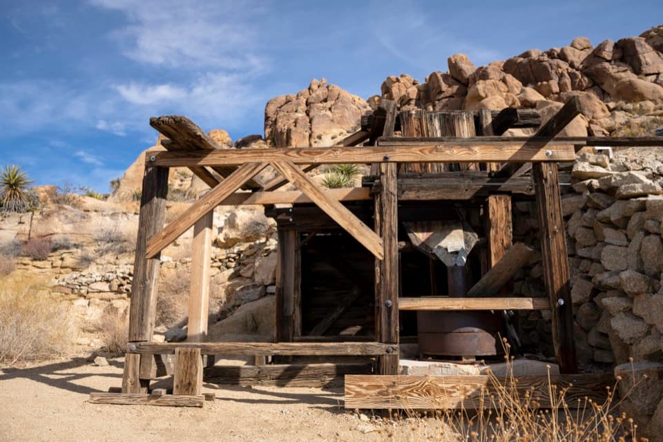 Sight · 0.7 mi awayMastodon MineA close-up look at mining history on the Mastodon Peak loop.
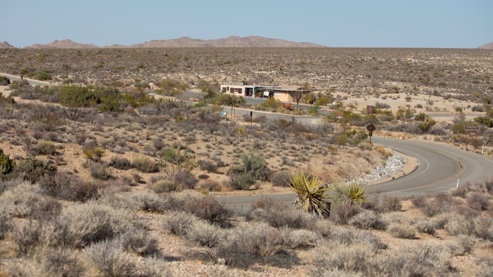 Visitor center · 1.1 mi awayCottonwood Visitor CenterMaps, drinking water, and ranger advice make this a useful first stop.
 Sight · 3.2 mi awayLost Palms OasisA rare palm oasis, reached only after a long desert hike.
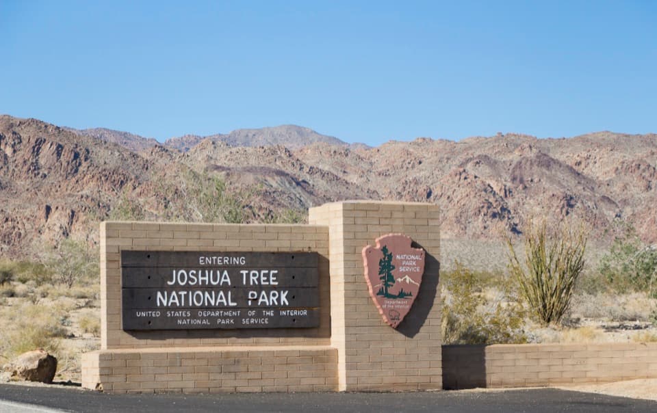 Sight · 4.3 mi awaySouth Entrance Welcome SignA wooden welcome sign against the Colorado Desert and rocky peaks.
 Scenic pullout · 8.6 mi awayPinto Basin PulloutA broad basin view with dark skies worth staying for.
Parkwolf’s Joshua Tree ranking

The audio tour guide for the drive, plus offline maps, trails, and wildlife heatmaps for when the signal drops.




