
Place
Easy
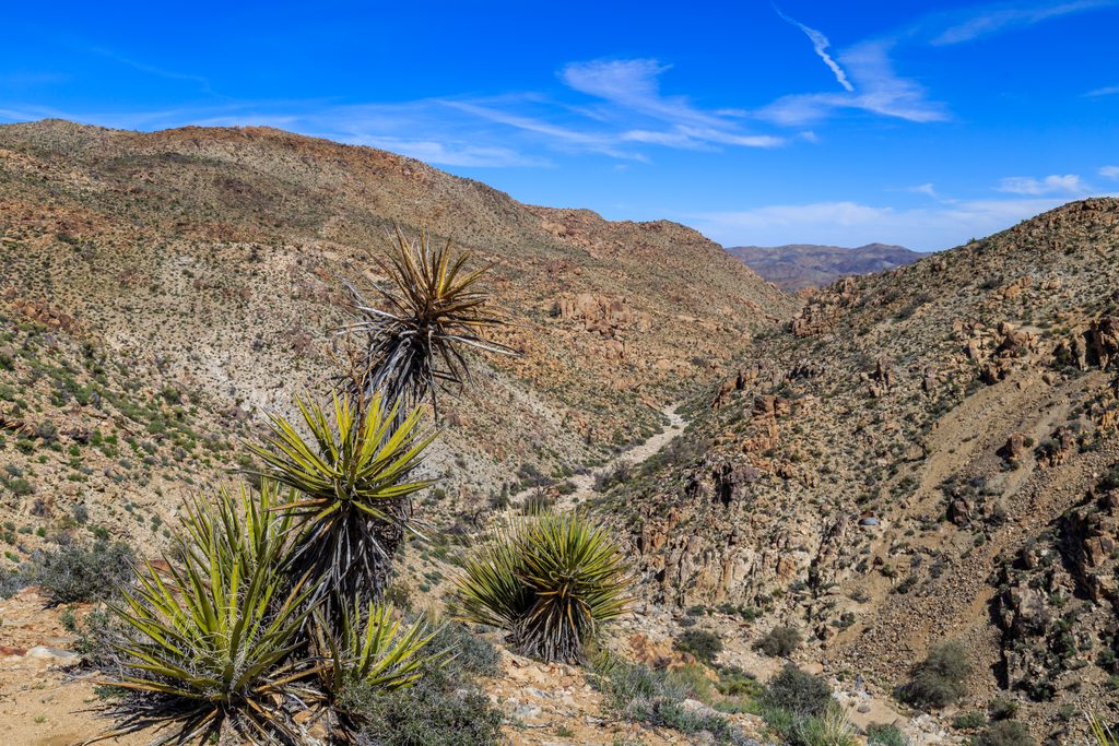
A short, history-soaked desert ramble to one of Joshua Tree’s most significant mining sites. The core hike is roughly 1.6 miles total out and back (to the mine itself; about half that to an overlook). Expect an easy-to-follow old mining road at first, gentle downhill toward the site, and classic high-desert scenery with Joshua trees and boulder piles. Plan on 1–2 hours for the main trail.
From the small trailhead lot, take the path to the right of the toilets. The route begins as an old road, leads to a signed junction, then trends slightly downhill toward the Desert Queen Mine area and a historic marker. Many hikers stop at the overlook; continuing to the ruins adds a little more effort and exploration. Elevation change is modest (roughly 150–250 feet total), but remember you’ll climb back out on the return.
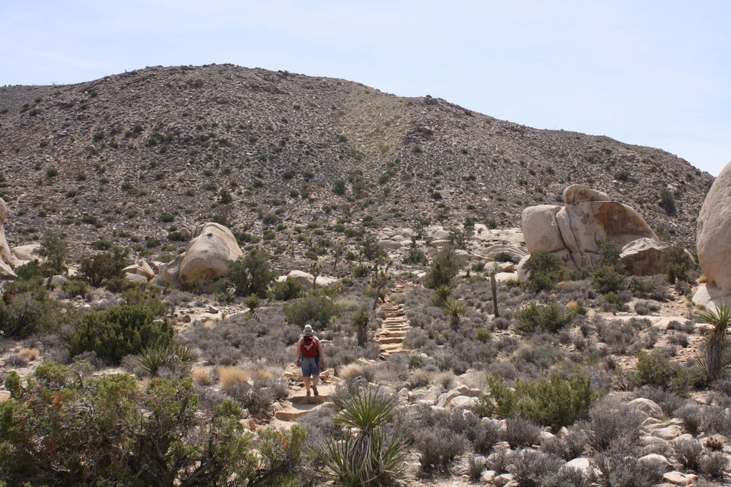
Want more? Extend to Eagle Cliff Mine and the Boulder House for a bigger day (about 4 miles round trip and ~650 feet of gain). That add-on shifts the outing to moderate difficulty with sections of light scrambling and real route-finding—budget 3–4 hours and bring offline maps.
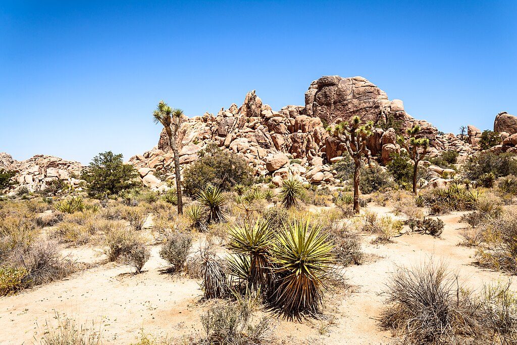
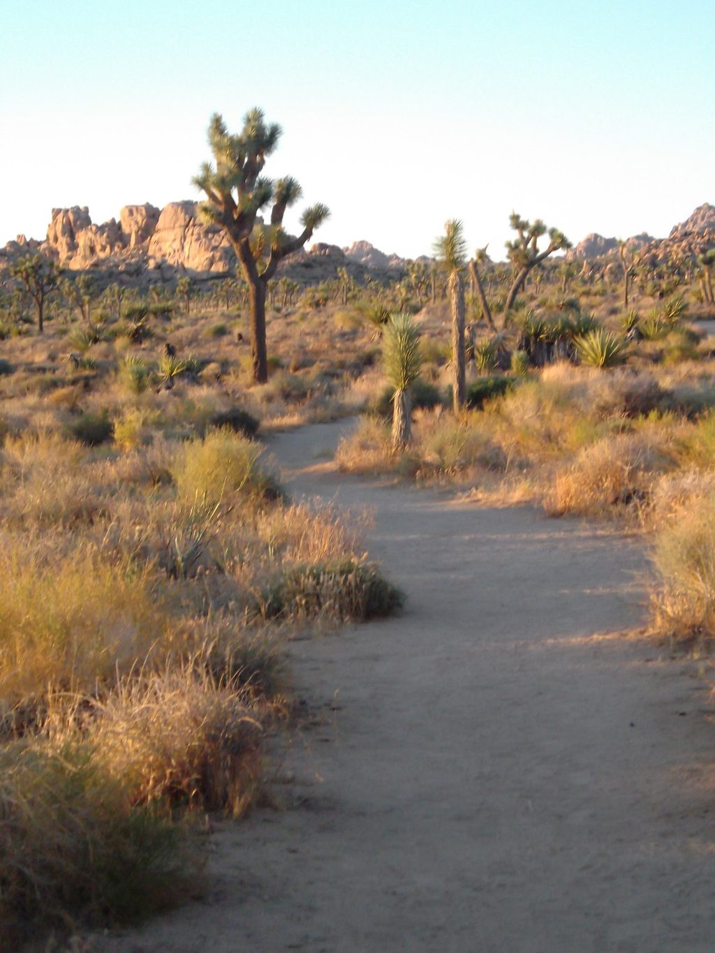
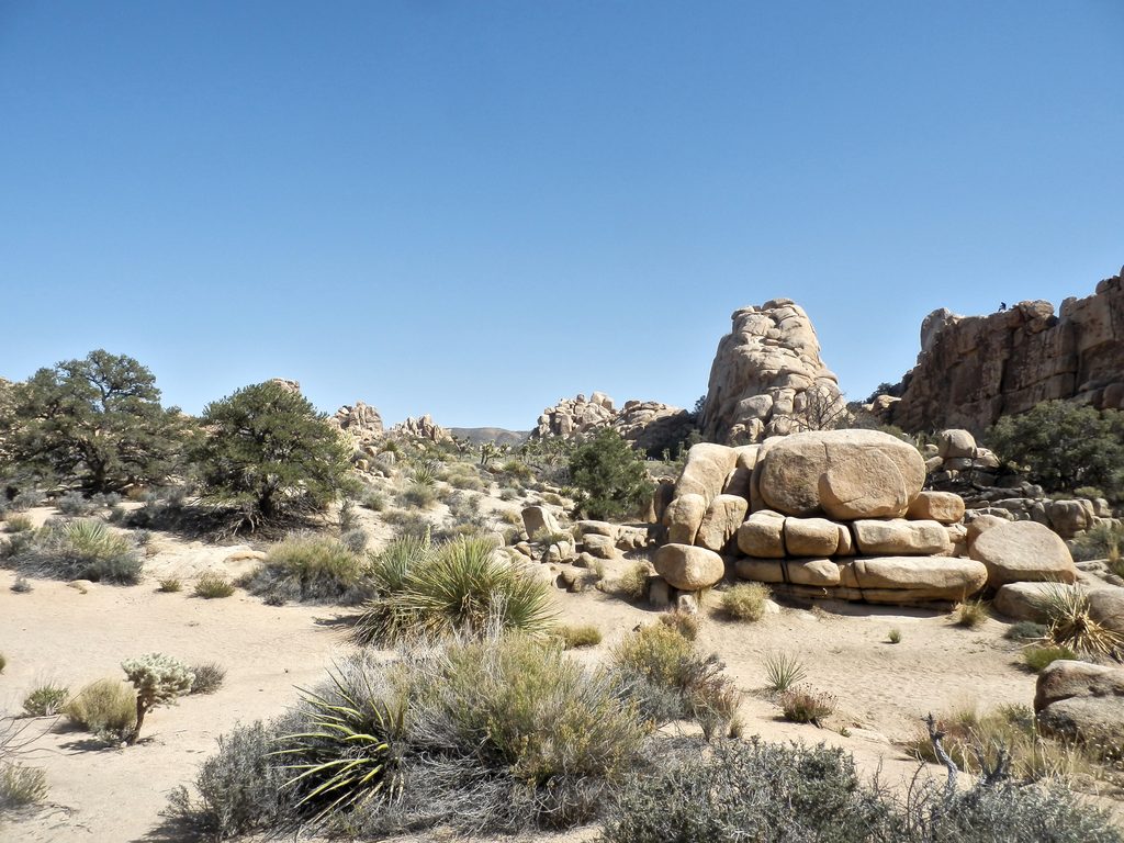
This is quintessential Joshua Tree: sandy tread, granite boulders, scattered Joshua trees, and wide views across Queen Valley. The payoff is the Desert Queen Mine ruins—old shafts, scattered equipment, and mining remnants tucked in a rocky canyon. It’s a tangible window into the park’s gold-mining era; look, photograph, but leave every artifact exactly where it lies.
Go in fall, winter, or spring for cooler temps and softer light. Mornings and late afternoons are best for photography and comfort—there’s little to no shade and no water. Summer heat can be dangerous; skip it unless you’re deeply prepared for desert conditions.
Access is via a short dirt spur to a small parking lot in the central Queen Valley area. The drive can be bumpy but is typically passable for most cars in dry weather. Parking is limited, and there’s a vault toilet at the trailhead. Multiple paths start here—follow signs for Desert Queen Mine and watch for the right turn at the signed junction.
Small dirt lot at the end of a short dirt spur in Queen Valley; limited spaces and a vault toilet at the trailhead.
No shade or water; old mine hazards—do not enter shafts. Route-finding can be tricky beyond the overlook, and the trail descends first so the return is an exposed uphill.
Place
Place
Place
Place
Easy
Challenging
Moderate
Easy

Parkwolf Tour Guide
