Best time to go
The trail and its parking area close in summer to give bighorn sheep access to surface water. Reopening depends on rainfall, so check the park’s current trail status before driving over.
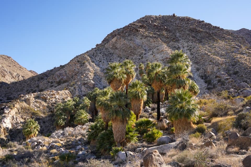
Sight · Joshua Tree National Park
A shaded palm grove at the end of a desert ridge hike.
Overview
Map
Plan your stop

The highest, rockiest slopes around here are a summer buffet for grizzly bears.
Joshua Tree Tour Guide
Parkwolf is a GPS audio tour guide for Joshua Tree National Park. As you drive, it chimes in with what’s ahead: hidden gems, upcoming stops, history, geology, and wildlife, right through your car’s speakers.
See the Joshua Tree audio tourRecorded for this place
Fortynine Palms: Over the Ridge“Up ahead is the Fortynine Palms Oasis trailhead, for a three-mile round trip over an exposed ridge to a spring-fed palm grove. Allow two to three hours, with rocky footing, little shade and a climb on both legs.”
Plays as you drive up to Fortynine Palms Oasis in the Parkwolf Joshua Tree Tour Guide.
More stories near here in the app
“Fantastic app with many points of information… It’s great to just turn on while you’re driving and it gives you an audio tour of the national Park. We love it!!!!”


Guide
Fortynine Palms Oasis is a natural spring and fan-palm grove tucked into a rocky canyon in the northern part of Joshua Tree National Park. The dry ridge gives way to a pocket of palms and water, a striking payoff in this desert landscape. I’d keep it on your list if you want a real hike with a clear destination, but this is more than a quick stop: 3 miles round trip, with about 300 feet of climbing on each leg. The oasis itself is sensitive habitat, so follow the signs and stay out of the grove.
The trail starts at the Fortynine Palms trailhead, off Canyon Road south of Highway 62 at the west end of Twentynine Palms. It climbs across an open ridge dotted with barrel cacti, then drops into the rocky canyon. The return reverses that effort, so allow time and energy for another climb. No food or water service is listed for the walk, so sort that out before you leave town.
In a landscape where surface water is scarce, groundwater reaching the surface sustains the palms. Local geology forces water up along faults, creating the oasis and its band of green against bare rock. The same water and shade make this a refuge for wildlife, including bighorn sheep. Coyotes eat palm fruit and carry seeds away, helping the grove spread.
The palms provide roosts for western yellow bats, and hooded orioles build nests beneath the leaves. From the public approach, frame the palms against the bare canyon wall to keep the contrast between the green grove and dry desert in view. Stay out of the grove to protect this sensitive habitat.
Wildlife
 129 sightingsBighorn SheepMost seen around 6 PMSighting map
 15 sightingsGolden EagleMost seen around 10 AMSighting map
 413 sightingsDesert TortoiseMost seen around 8 AMSighting map
 275 sightingsCoyoteMost seen around 6 AMSighting map
 47 sightingsBobcatMost seen around 6 PMSighting map
 32 sightingsMule DeerMost seen around 6 AMSighting map
Sighting maps show where each species has been reported across Joshua Tree. Wildlife moves, so no sighting is guaranteed.
Keep exploring
 ChallengingFortynine Palms Oasis Trail3 mi · 2.5 hr · 1 mi awayA desert ridge hike ending at a hidden fan palm oasis.
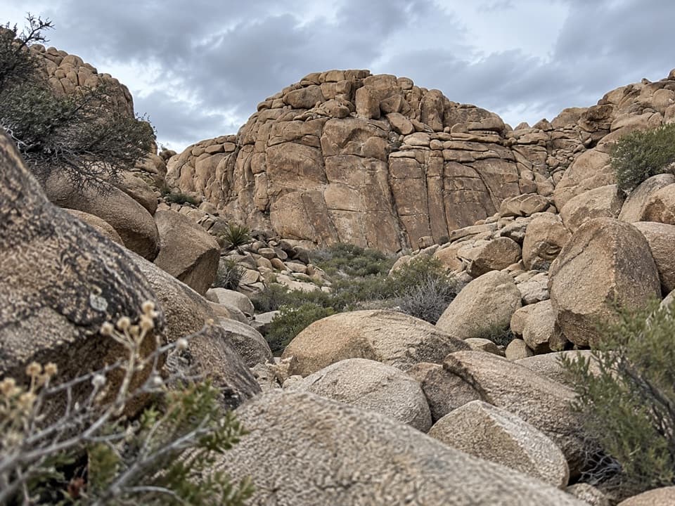 ModerateCorral Wall Loop Trail0.9 mi · 36 min · 2.5 mi awayA short, unmarked rock loop for hikers comfortable scrambling.
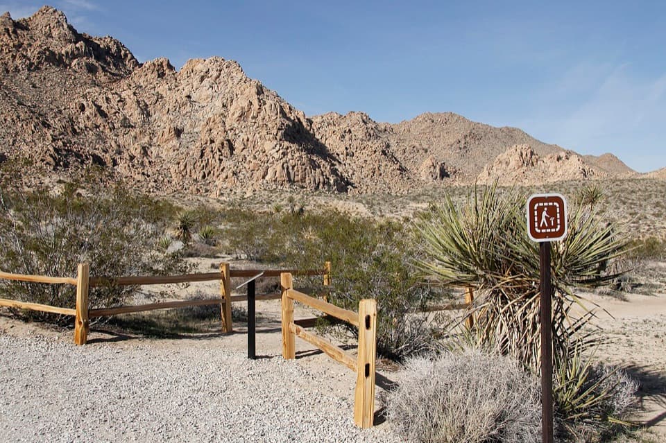 EasyIndian Cove Nature Trail0.6 mi · 36 min · 3.7 mi awayA gentle loop for desert plants, granite, and spring wildflowers.
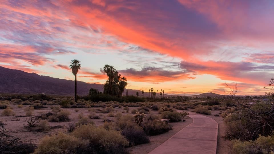 EasyOasis of Mara Trail0.5 mi · 20 min · 4.2 mi awayA half-mile paved loop beneath fan palms, with history on the signs.
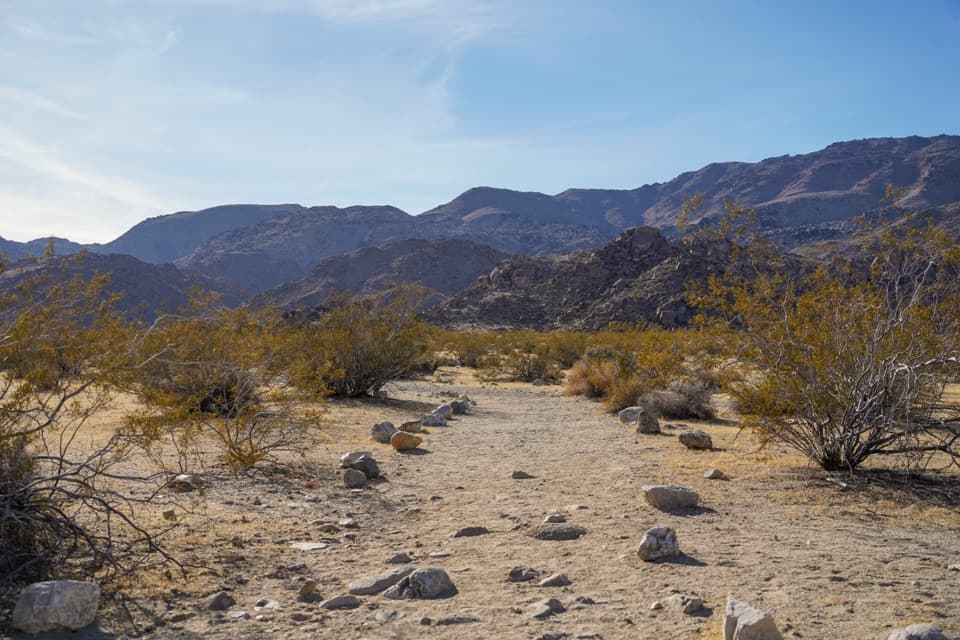 ModerateContact Mine Trail3.8 mi · 2.5 hr · 4.8 mi awayA quiet desert walk ends among century-old mine workings.
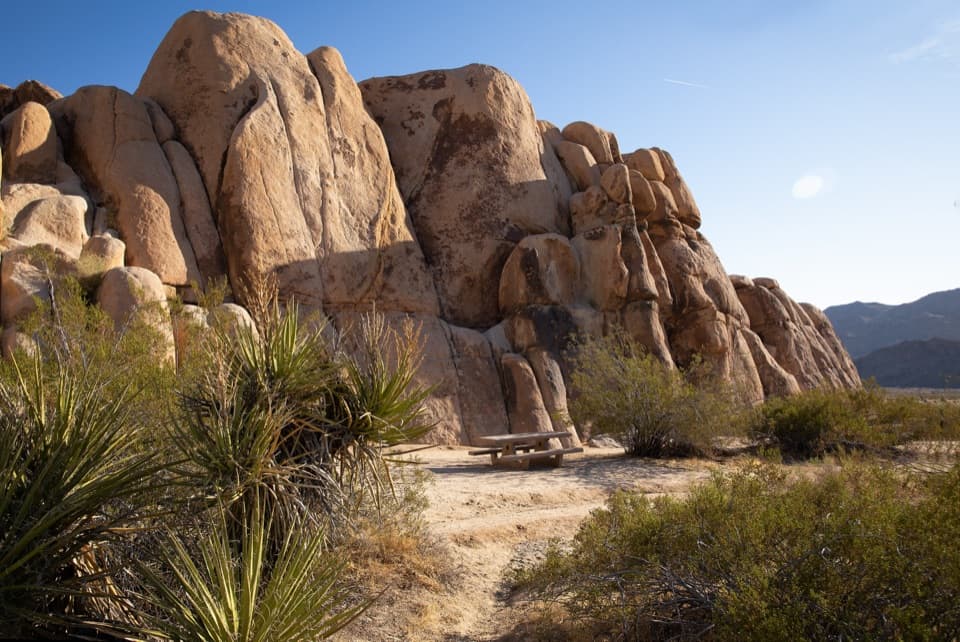 Picnic area · 3 mi awayRattlesnake Picnic AreaA quiet lunch stop beneath Indian Cove’s boulder walls.
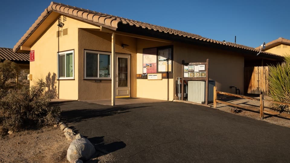 Ranger station · 3.1 mi awayIndian Cove Ranger StationA useful water and information stop for Indian Cove.
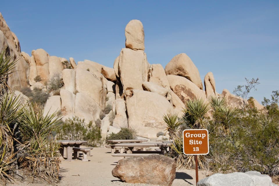 Campground · 3.3 mi awayIndian Cove CampgroundCamp among boulders with climbing and a half-mile nature loop nearby.
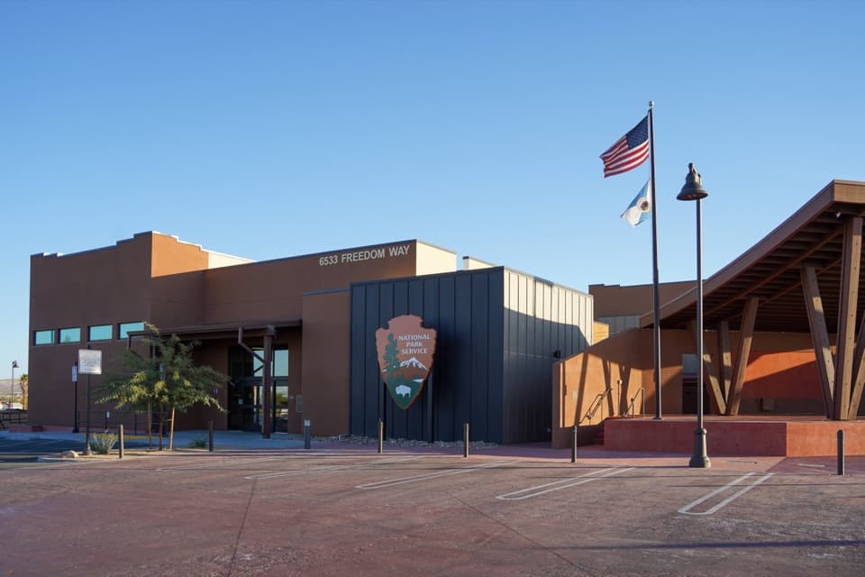 Visitor center · 3.4 mi awayJoshua Tree National Park Visitor CenterA focused cultural introduction before the desert roads.
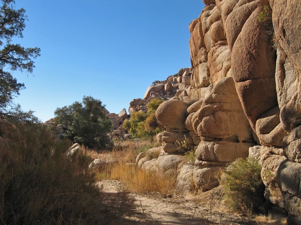 Sight · 3.8 mi awayWillow HoleA seasonal green pocket tucked into a granite maze
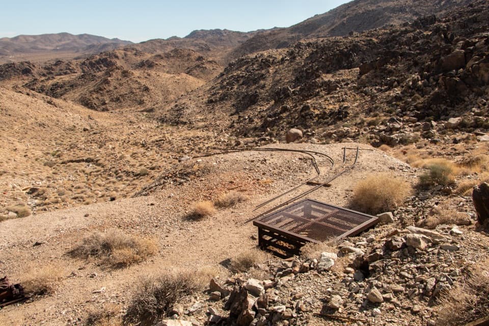 Sight · 3.8 mi awayContact MineOld mine gear at the end of a quieter four-mile desert hike.
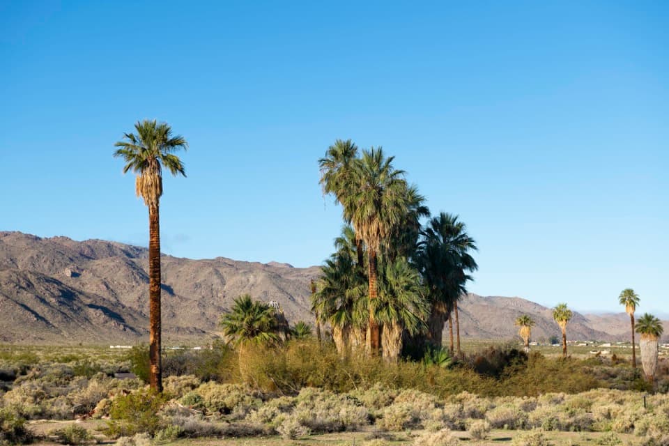 Sight · 4.1 mi awayOasis of MaraA palm grove with a surprisingly deep Serrano story.
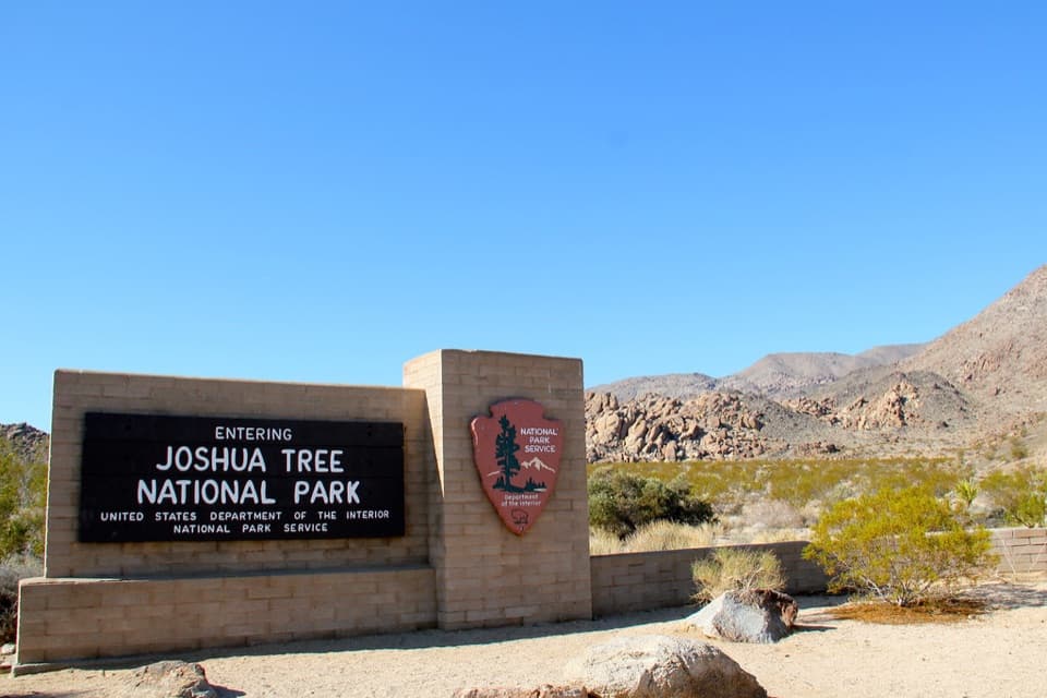 Entrance station · 4.4 mi awayNorth Entrance StationA quick north-side stop to sort your park pass.
Parkwolf’s Joshua Tree ranking

The audio tour guide for the drive, plus offline maps, trails, and wildlife heatmaps for when the signal drops.