Rattlesnake Picnic Area in Joshua Tree National Park

Picnic area · Joshua Tree National Park

Rattlesnake Picnic Area

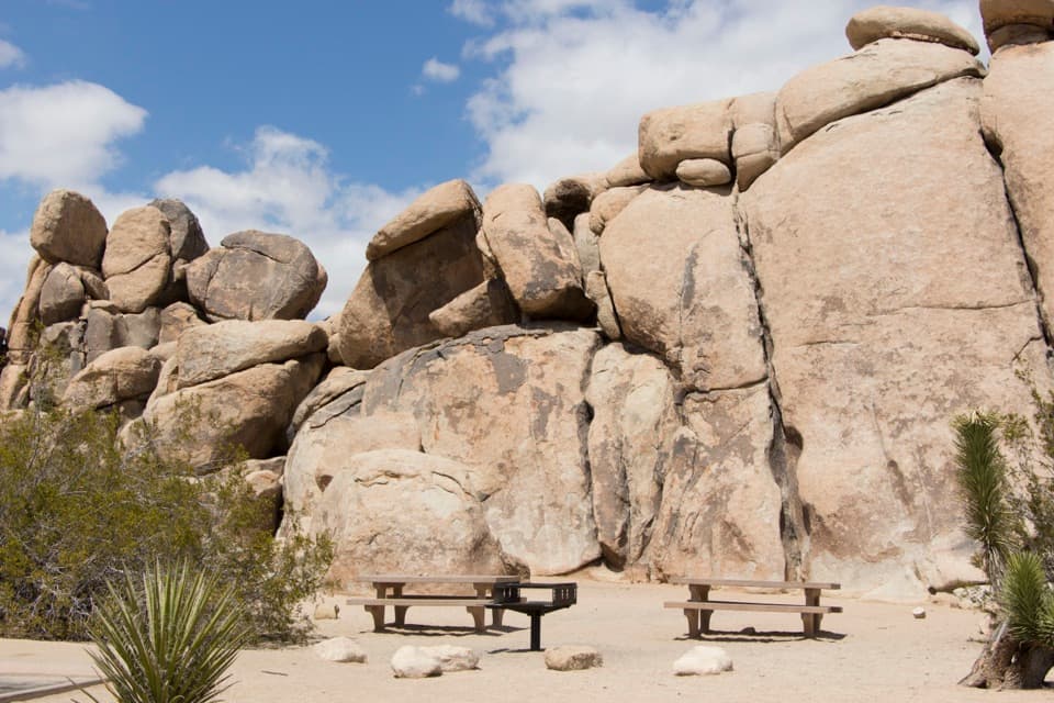
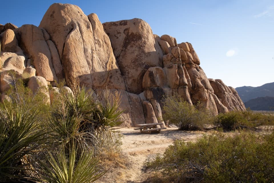
A quiet lunch stop beneath Indian Cove’s boulder walls.

Photo: National Park Service
Type
Picnic area
Nearest trail
0.8 mi
Audio stories
5 nearby
  • Picnic tables
  • Parking
  • Restrooms

Hear the audio tour

Rattlesnake Picnic Area: Lunch at the Canyon Mouth

Overview

About Rattlesnake Picnic Area

Why stop

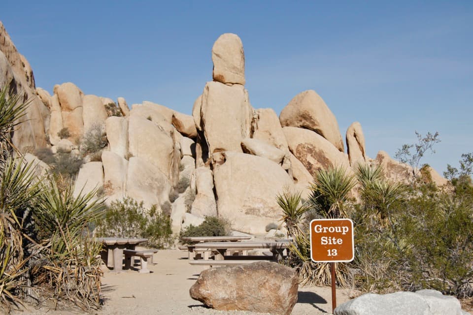
  • Tables and grills sit right among the boulder formations.

Heads up

  • Canyon routes are informal and get tougher farther in.

Map

Where it is

Loading the Joshua Tree map
Full map
Picnic areaRattlesnake Picnic Area34.09265, -116.15454
Keep this map with you offline in the Parkwolf app

Plan your stop

Before you go

5 active Joshua Tree alerts

  • ClosureOasis of Mara Trail closed past the OasisThe Oasis of Mara Trail is closed past the Oasis due to a heavy flooding event; do not continue beyond the Oasis. Check current park conditions before visiting.Official details
  • ClosureSR 62 and US 95 closed by floodingFlooding has closed portions of SR 62 and US 95; avoid the closed segments.Official details

See all 5 alerts
A park ranger sits on a dash-mounted phone, talking, as Parkwolf’s Tour Guide plays “Army Cutworm Moths: A Grizzly Bear Buffet” on Grand Loop Road below Dunraven Pass in Yellowstone
Parkwolf Tour GuideThe highest, rockiest slopes around here are a summer buffet for grizzly bears.

Joshua Tree Tour Guide

Your drive to Rattlesnake Picnic Area, narrated.

Parkwolf is a GPS audio tour guide for Joshua Tree National Park. As you drive, it chimes in with what’s ahead: hidden gems, upcoming stops, history, geology, and wildlife, right through your car’s speakers.

See the Joshua Tree audio tour

Recorded for this place

Rattlesnake Picnic Area: Lunch at the Canyon Mouth
0:00 / 0:24
“Rattlesnake Picnic Area is ahead, at the mouth of Rattlesnake Canyon on the east side of Indian Cove Campground.”

Plays as you drive up to Rattlesnake Picnic Area in the Parkwolf Joshua Tree Tour Guide.

More stories near here in the app

  • Indian Cove: Camp, Walk and Watch for Tortoises
  • The Boulder Becoming Sand
  • The Vulture Following Its Nose
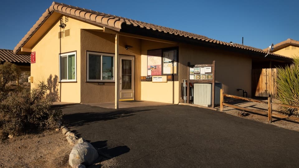
  • Indian Cove Ranger Station: Fill Up Before Camp
  • 89 audio storiesacross Joshua Tree’s roads, triggered by GPS as you drive
  • Wildlife heatmapsfor Bighorn Sheep, Golden Eagle, Desert Tortoise, and 13 more
  • Works offlinemaps, 60 trails, 64 places, and audio download before you lose signal
  • CarPlay readysimple controls built for the drive
★★★★★
“Fantastic app with many points of information… It’s great to just turn on while you’re driving and it gives you an audio tour of the national Park. We love it!!!!”
JMJamesApp Store review
Download Parkwolf on the App StoreGet Parkwolf on Google Play

4.7 from 8,600+ ratings

Guide

More about Rattlesnake Picnic Area

Lunch among the bouldersRattlesnake Picnic Area is a day-use stop on the east side of Indian Cove Campground, with…

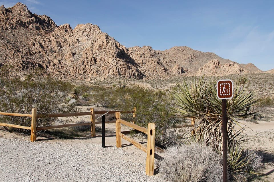
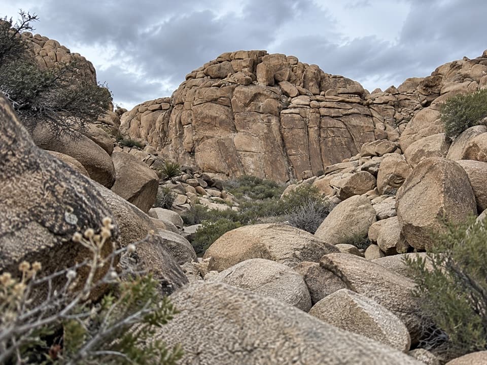
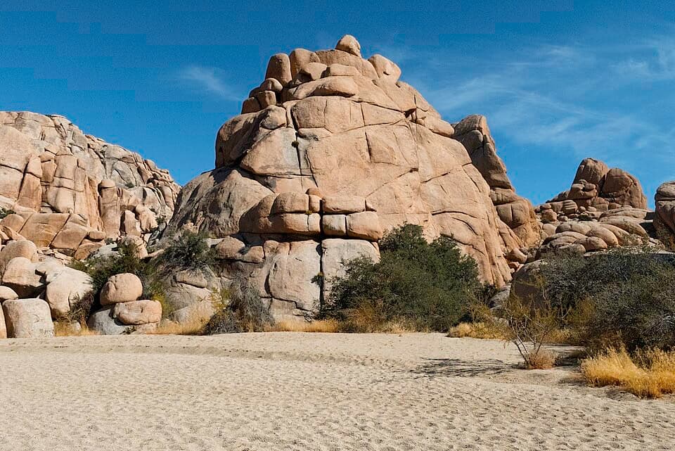
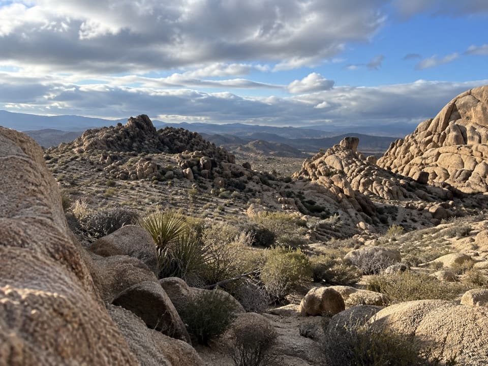
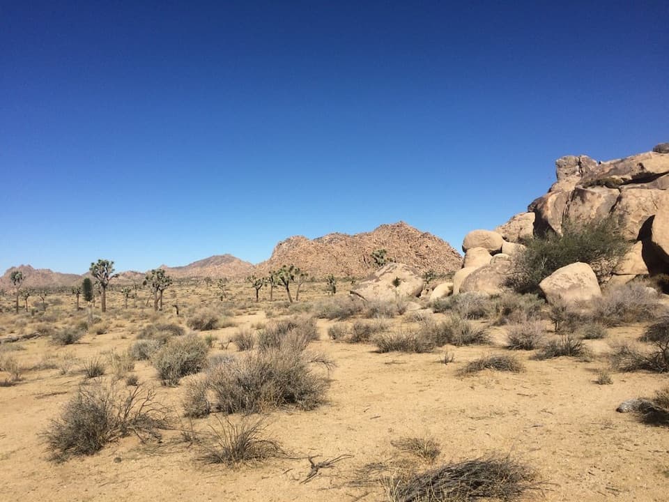
Rattlesnake Picnic Area is a day-use stop on the east side of Indian Cove Campground, with picnic tables and grills tucked among rounded boulders, Joshua trees and low desert plants. It’s a pleasant place to slow down for lunch and wander among the rocks.

What to bringThe dirt parking area is north of the road and east of a large rock formation.

The dirt parking area is north of the road and east of a large rock formation. The accessible vault toilet is across the road, and trash cans are near the entrance. The tables sit among scattered trees and shrubs, so bring sun protection. There’s no food service listed here; bring your meal and drinking water.

If you want to explore fartherThe picnic area sits at the mouth of Rattlesnake Canyon, where informal scrambling and climbing…

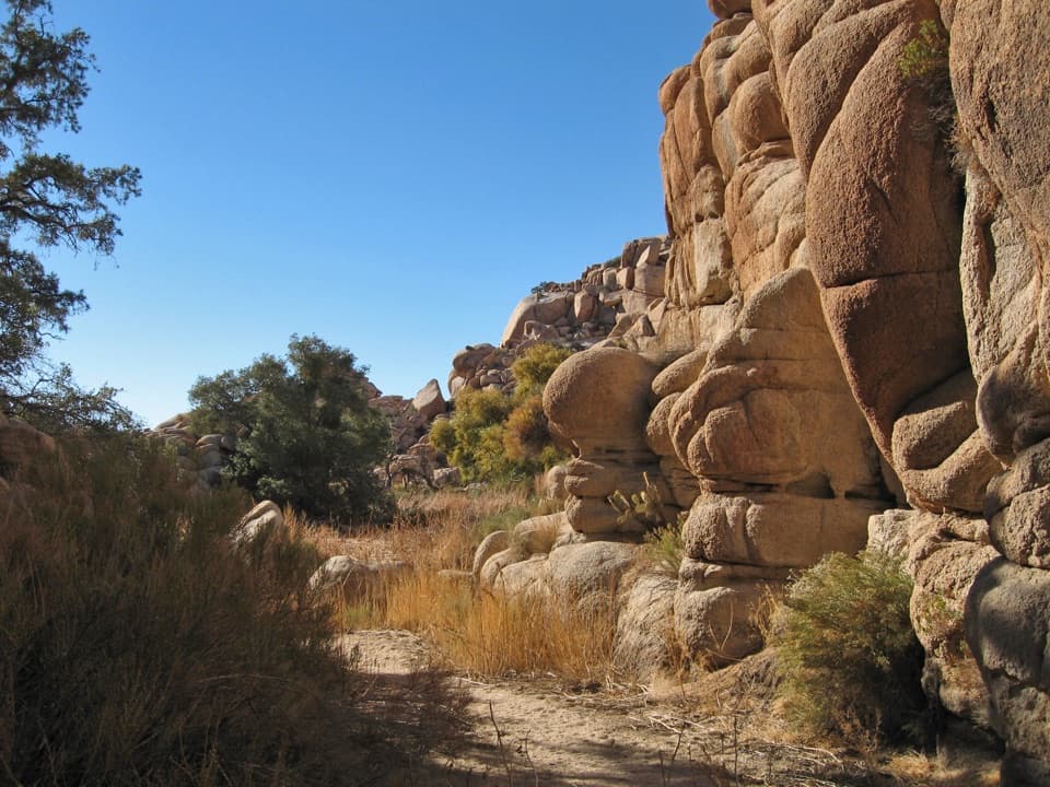
The picnic area sits at the mouth of Rattlesnake Canyon, where informal scrambling and climbing routes continue between the boulders. There are no maintained trails through the canyon, and routes get harder farther in, so treat that as a separate outing from an easy picnic stop.

Wildlife

Wildlife in Joshua Tree

All Joshua Tree wildlife maps

Sighting maps show where each species has been reported across Joshua Tree. Wildlife moves, so no sighting is guaranteed.

Keep exploring

Near Rattlesnake Picnic Area

See it all on the map

Trails nearby

More stops nearby

Parkwolf’s Joshua Tree ranking

Top sights in Joshua Tree

All 64 places
  1. 1Keys ViewSight
  2. 2Skull RockSight
  3. 3Cholla Cactus GardenSight
  4. 4Arch RockSight
  5. 5Barker DamSight
  6. 6Keys RanchSight

Take Parkwolf to Joshua Tree.

The audio tour guide for the drive, plus offline maps, trails, and wildlife heatmaps for when the signal drops.

4.7 from 8,600+ ratings

Download Parkwolf on the App StoreGet Parkwolf on Google Play