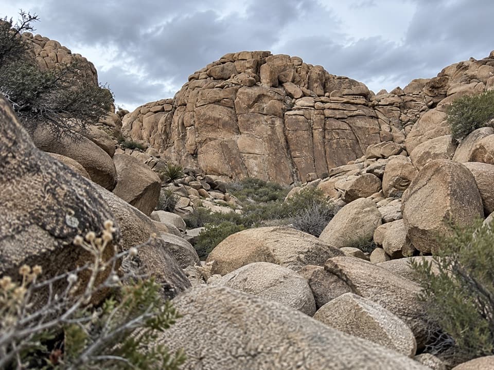
Corral Wall Loop Trail in Joshua Tree National Park

Joshua Tree National Park, CA

Corral Wall Loop Trail

A short, unmarked rock loop for hikers comfortable scrambling.

Length
0.9mi
Time
36min
Elev. change
128ft
Difficulty
Moderate
  • Loop
  • No dogs
  • High point 3,163 ft

Hear the audio tour

The Vulture Following Its Nose

Overview

About Corral Wall Loop Trail

Why go

  • Short closed loop through the rocky Corral Wall area

Heads up

  • Unmarked off-trail footing with route-finding and scrambling

Map & elevation

The route

Loading the Joshua Tree map
Full map
Elevation3,035–3,163 ft
TrailheadCorral Wall Loop access (unmarked)34.08596, -116.14046
Keep this map with you offline in the Parkwolf app

Plan your hike

Before you go

Parking

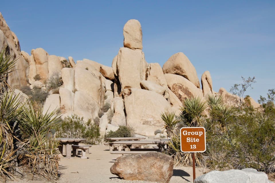
No signed Corral Wall trailhead or designated lot was identified. The selected loop line starts beside a short service-road spur in the Indian Cove area, but the legal parking point remains unconfirmed. Confirm where visitors may park with the park before driving in.

Safety

The route is unmarked and partly off-trail, with rough rock scrambling and uncertain wayfinding. Its mapped line passes about 500 feet from the Corral Wall rock point and excludes the separate climbing approach. Pets are prohibited on park hiking trails.

5 active Joshua Tree alerts

  • ClosureOasis of Mara Trail closed past the OasisThe Oasis of Mara Trail is closed past the Oasis due to a heavy flooding event; do not continue beyond the Oasis. Check current park conditions before visiting.Official details
  • ClosureSR 62 and US 95 closed by floodingFlooding has closed portions of SR 62 and US 95; avoid the closed segments.Official details
See all 5 alerts
A park ranger sits on a dash-mounted phone, talking, as Parkwolf’s Tour Guide plays “Army Cutworm Moths: A Grizzly Bear Buffet” on Grand Loop Road below Dunraven Pass in Yellowstone
Parkwolf Tour GuideThe highest, rockiest slopes around here are a summer buffet for grizzly bears.

Joshua Tree Tour Guide

Your drive to Corral Wall Loop Trail, narrated.

Parkwolf is a GPS audio tour guide for Joshua Tree National Park. As you drive, it chimes in with what’s ahead: hidden gems, upcoming stops, history, geology, and wildlife, right through your car’s speakers.

See the Joshua Tree audio tour

Recorded for this area

The Vulture Following Its Nose
0:00 / 0:29
“A turkey vulture can find a meal with its nose. It detects odors from dead animals, then follows the scent toward the ground. If you see a big dark bird circling while you're stopped, look at how it holds its wings.”

Plays near this trailhead in the Parkwolf Joshua Tree Tour Guide.

More stories near here in the app

  • Rattlesnake Picnic Area: Lunch at the Canyon Mouth
  • Indian Cove: Camp, Walk and Watch for Tortoises
  • The Boulder Becoming Sand
  • Indian Cove Ranger Station: Fill Up Before Camp
  • 89 audio storiesacross Joshua Tree’s roads, triggered by GPS as you drive
  • Wildlife heatmapsfor Bighorn Sheep, Golden Eagle, Desert Tortoise, and 13 more
  • Works offlinemaps, 60 trails, 64 places, and audio download before you lose signal
  • CarPlay readysimple controls built for the drive
★★★★★
“Fantastic app with many points of information… It’s great to just turn on while you’re driving and it gives you an audio tour of the national Park. We love it!!!!”
JMJamesApp Store review
Download Parkwolf on the App StoreGet Parkwolf on Google Play

4.7 from 8,600+ ratings

Trail guide

Hiking Corral Wall Loop Trail

What this loop isCorral Wall Loop is a short, unmarked circuit over rocky desert ground near the Corral Wall…

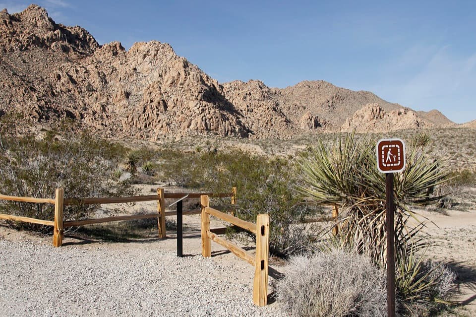
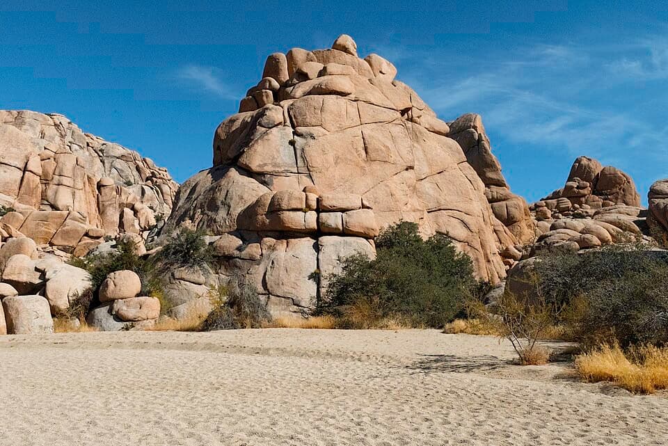
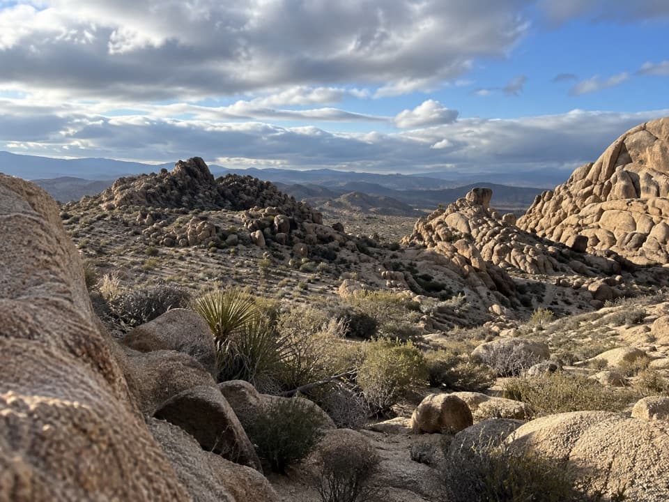
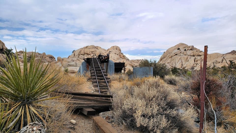
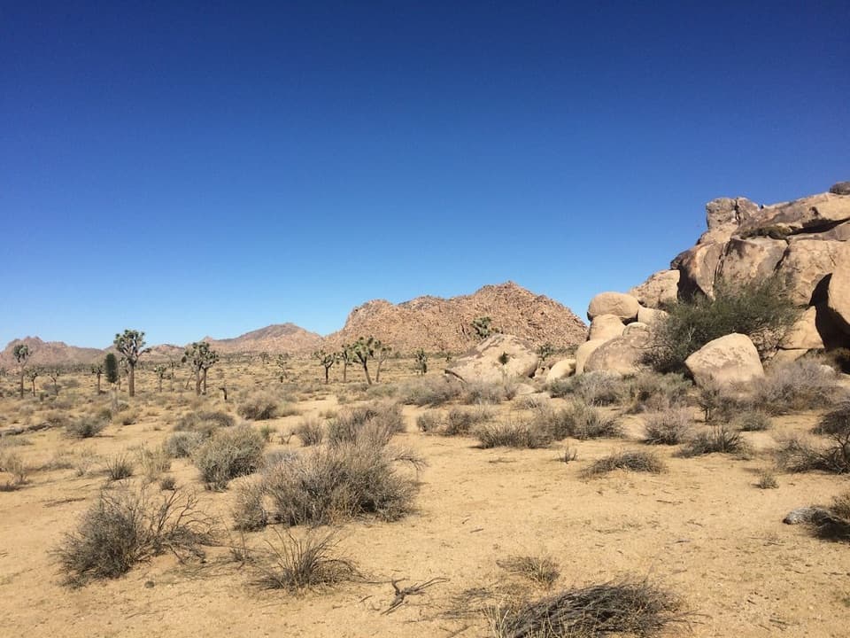
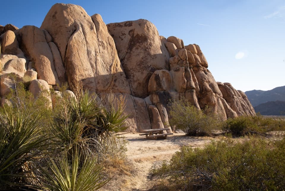
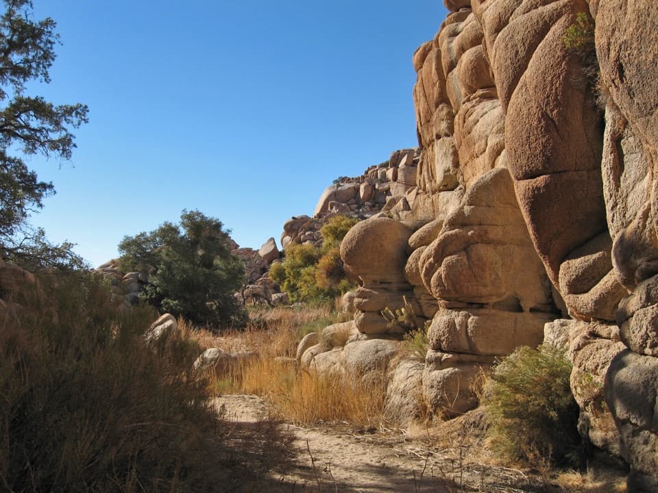
Corral Wall Loop is a short, unmarked circuit over rocky desert ground near the Corral Wall climbing area, not a built or signed path. The closed line saved here measures about 0.9 mile; another published description gives 1.1 miles, so treat the distance as approximate. Allow about 30 to 45 minutes for route-finding and scrambling. It suits hikers comfortable choosing a line over uneven rock, and it is a poor fit if you want a clear tread or easy wayfinding.

The line and the wallThe mapped route leaves an unmarked access beside a short service-road spur, circles the rough…

The mapped route leaves an unmarked access beside a short service-road spur, circles the rough ground to the east and south, and returns to the same point. It stays about 500 feet from the mapped Corral Wall feature and does not trace the separate climbing approach over a rocky notch. If your goal is the wall face itself, check the route carefully before setting out rather than assuming this loop takes you there.

Access and rulesNo official trailhead, marked parking lot, or reliable parking instructions were found.

No official trailhead, marked parking lot, or reliable parking instructions were found. Confirm where you can legally leave a vehicle with the park before driving in. Joshua Tree National Park does not allow pets on hiking trails, so leave ordinary pets behind.

Wildlife

Wildlife in Joshua Tree

All Joshua Tree wildlife maps

Sighting maps show where each species has been reported across Joshua Tree. Wildlife moves, so no sighting is guaranteed.

Keep exploring

Near Corral Wall Loop Trail

See it all on the map

Trails that start nearby

Places near the trailhead

Parkwolf’s Joshua Tree ranking

Top-rated trails in Joshua Tree

All 60 trails
  1. 1Hidden Valley Nature TrailEasy · 1 mi
  2. 2Barker Dam Nature TrailEasy · 1.3 mi
  3. 3Ryan Mountain TrailChallenging · 3 mi
  4. 4Fortynine Palms Oasis TrailChallenging · 3 mi
  5. 5Lost Palms Oasis TrailChallenging · 7.5 mi
  6. 6Arch Rock TrailEasy · 1.3 mi

Take Parkwolf to Joshua Tree.

The audio tour guide for the drive, plus offline maps, trails, and wildlife heatmaps for when the signal drops.

4.7 from 8,600+ ratings

Download Parkwolf on the App StoreGet Parkwolf on Google Play