Parking
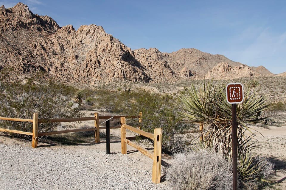
Use the signed Indian Cove Nature Trailhead at the west end of Indian Cove Campground. Auto and bus/RV parking and an accessible restroom are listed at the access. The campground has no water; bring your own.
Joshua Tree National Park, CA
A gentle loop for desert plants, granite, and spring wildflowers.
Overview
Map & elevation
Plan your hike

The highest, rockiest slopes around here are a summer buffet for grizzly bears.
Joshua Tree Tour Guide
Parkwolf is a GPS audio tour guide for Joshua Tree National Park. As you drive, it chimes in with what’s ahead: hidden gems, upcoming stops, history, geology, and wildlife, right through your car’s speakers.
See the Joshua Tree audio tourRecorded for this trailhead
Indian Cove: Camp, Walk and Watch for Tortoises“You're approaching Indian Cove Campground, where sandy campsites sit beneath tall boulders with climbing close by.”
Plays as you drive up to this trailhead in the Parkwolf Joshua Tree Tour Guide.
More stories near here in the app
“Fantastic app with many points of information… It’s great to just turn on while you’re driving and it gives you an audio tour of the national Park. We love it!!!!”


Trail guide
Indian Cove Nature Trail is a gentle loop on rolling ground west of Indian Cove Campground. The park lists the loop at 0.6 mile; from the signed trailhead, the short access link and return bring the mapped walk to about 0.64 mile. Allow 30–45 minutes. It is an easy leg-stretcher, with a few steps, rather than a summit hike or a scramble among the boulders.
The trail passes through desert scrub and pale, sand-colored granite. Interpretive signs give context to the area's plants and animals, along with Indigenous use of this landscape. Follow the marked tread through the loop; the surrounding rocks can make it tempting to wander off the nature trail.
After abundant winter rain, wildflowers can make this short walk especially colorful. Their blooms stand out against the granite and mature Mojave yuccas. In a dry year, treat flowers as a bonus rather than the reason to go.
Use the signed access at the west end of Indian Cove Campground. Auto and bus/RV parking and an accessible restroom are listed at the trailhead. The trail closes during the summer when the campground closes; exact dates vary, so check access before you drive over. There is no water at the campground, so bring your own. Pets are not allowed on park hiking trails.
Wildlife
 129 sightingsBighorn SheepMost seen around 6 PMSighting map
 15 sightingsGolden EagleMost seen around 10 AMSighting map
 413 sightingsDesert TortoiseMost seen around 8 AMSighting map
 275 sightingsCoyoteMost seen around 6 AMSighting map
 47 sightingsBobcatMost seen around 6 PMSighting map
 32 sightingsMule DeerMost seen around 6 AMSighting map
Sighting maps show where each species has been reported across Joshua Tree. Wildlife moves, so no sighting is guaranteed.
Keep exploring
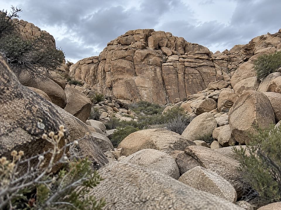 ModerateCorral Wall Loop Trail0.9 mi · 36 min · 1.7 mi awayA short, unmarked rock loop for hikers comfortable scrambling.
 ChallengingFortynine Palms Oasis Trail3 mi · 2.5 hr · 3.6 mi awayA desert ridge hike ending at a hidden fan palm oasis.
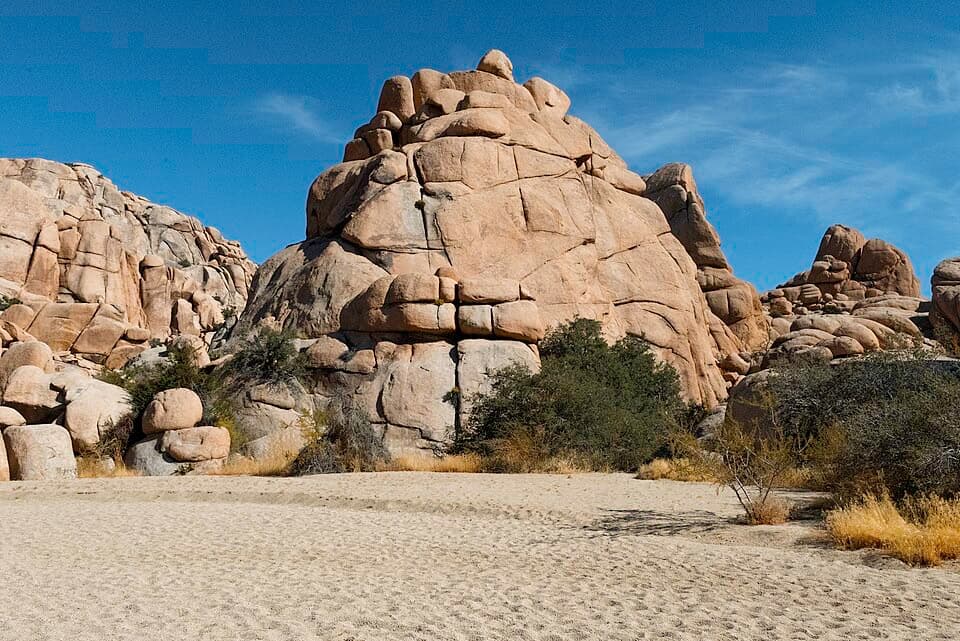 ModerateWillow Hole Trail7 mi · 4 hr · 3.8 mi awayFollow sandy washes to a seasonal willow grove.
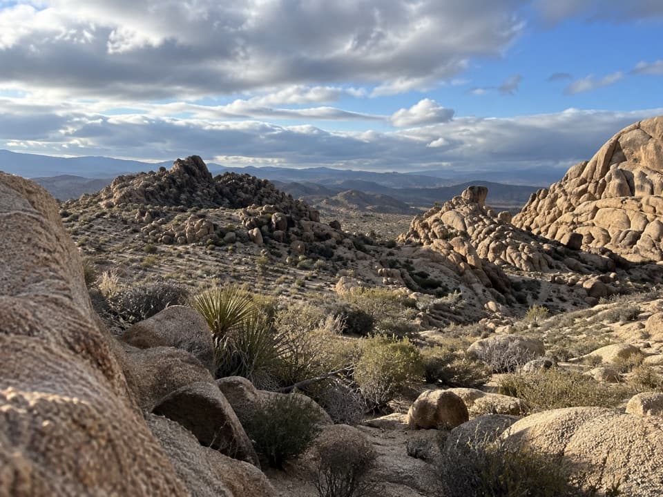 ModerateBig Pine Trail11.2 mi · 6 hr · 3.8 mi awayA rocky wash walk, reached only after a long backcountry approach.
 ModerateBoy Scout Trail8 mi · 4.5 hr · 3.9 mi awayAn eight-mile desert crossing from Joshua trees to Indian Cove.
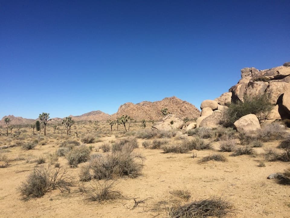 ModerateQuail Springs Historic Trail4.8 mi · 2.5 hr · 4.1 mi awayFollow a sandy historic corridor west from Quail Springs.
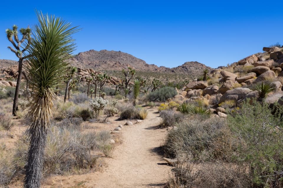 EasyCreosote Trail1.2 mi · 45 min · 4.2 mi awayA short, lightly signed walk among creosote and Joshua trees.
 ModerateSamuelson Rocks via Creosote and Bigfoot Trails4.8 mi · 2.5 hr · 4.2 mi awayFollow desert paths to a lonely mound of carved messages.
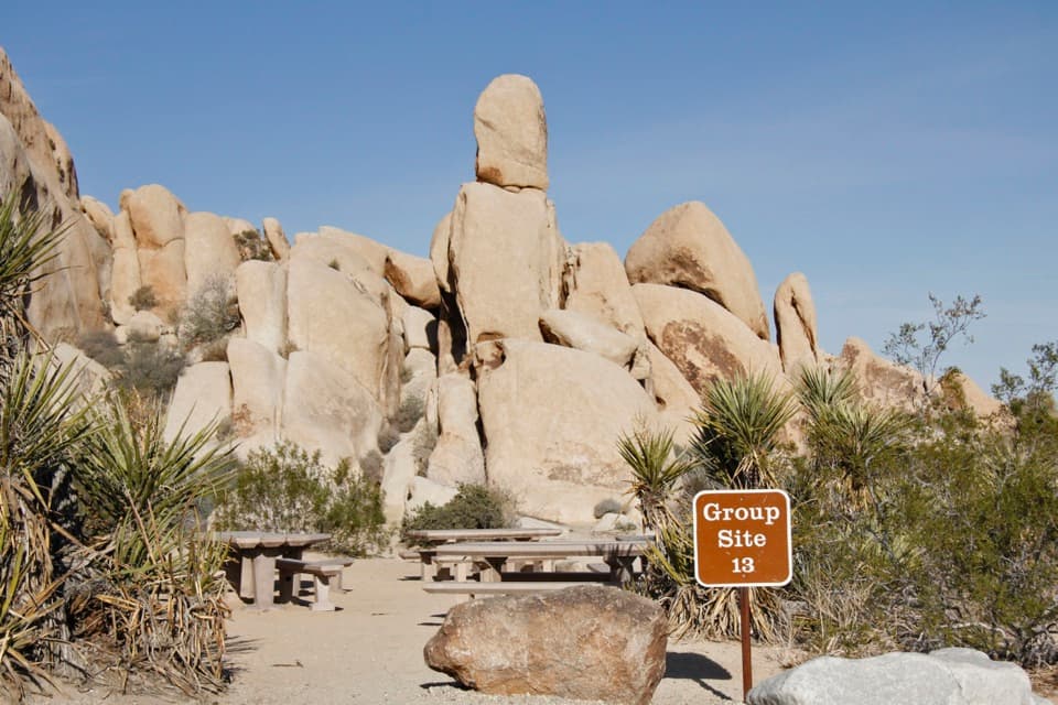 Campground · 0.5 mi awayIndian Cove CampgroundCamp among boulders with climbing and a half-mile nature loop nearby.
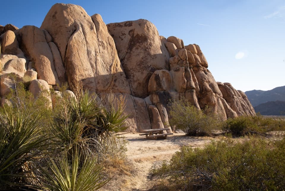 Picnic area · 0.8 mi awayRattlesnake Picnic AreaA quiet lunch stop beneath Indian Cove’s boulder walls.
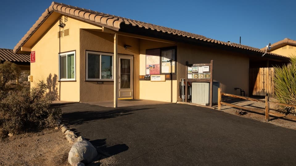 Ranger station · 1.9 mi awayIndian Cove Ranger StationA useful water and information stop for Indian Cove.
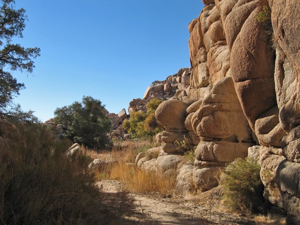 Sight · 2 mi awayWillow HoleA seasonal green pocket tucked into a granite maze
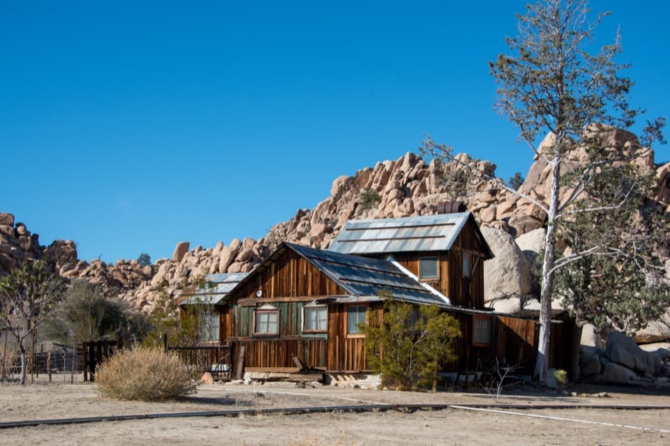 Sight · 3.4 mi awayKeys RanchA ranger-led walk among a family’s desert buildings and mining gear.
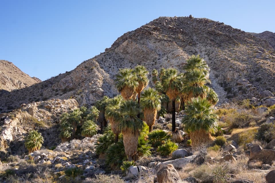 Sight · 3.7 mi awayFortynine Palms OasisA shaded palm grove at the end of a desert ridge hike.
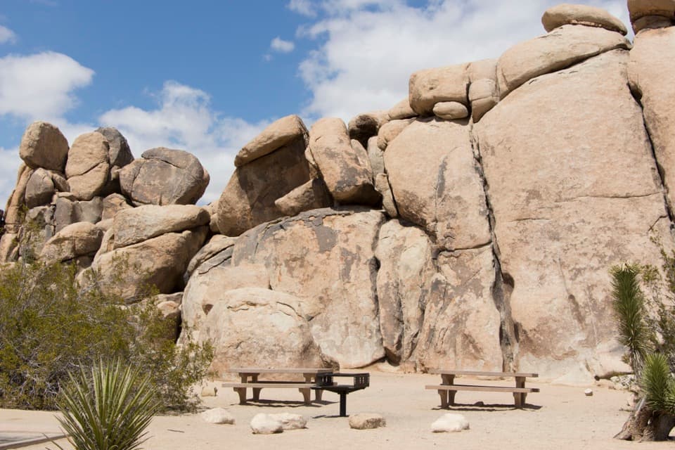 Picnic area · 4.1 mi awayQuail Springs Picnic AreaPicnic tables and grills tucked beneath Joshua Tree’s granite boulders.
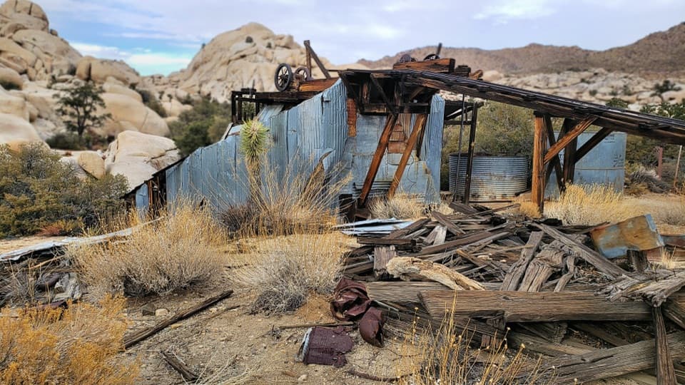 Sight · 4.5 mi awayWall Street MillA sandy walk to an old gold mill and its rusted machinery.
Parkwolf’s Joshua Tree ranking

The audio tour guide for the drive, plus offline maps, trails, and wildlife heatmaps for when the signal drops.




