Oasis of Mara Trail in Joshua Tree National Park

Joshua Tree National Park, CA

Oasis of Mara Trail

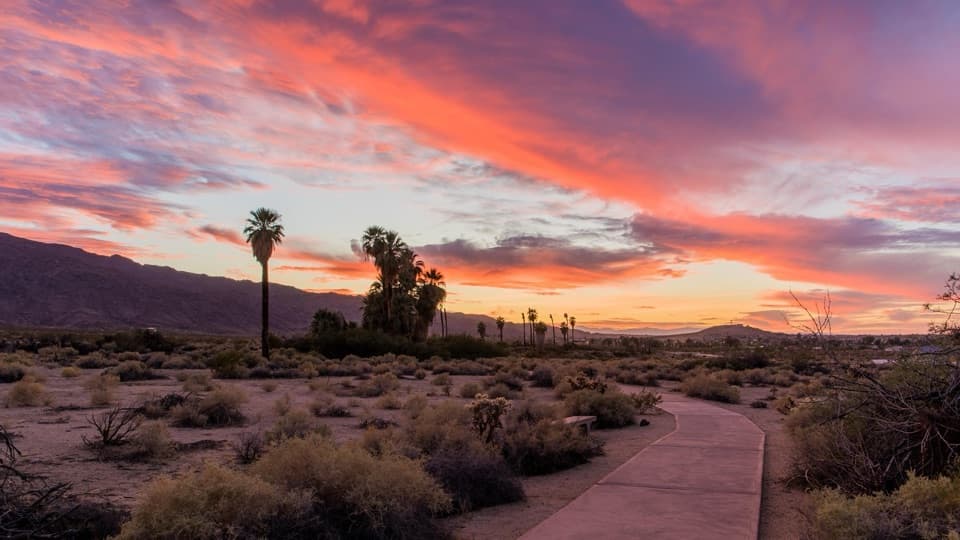
A half-mile paved loop beneath fan palms, with history on the signs.

Photo: National Park Service
Length
0.5mi
Time
20min
Elevation
Flat
Difficulty
Easy
  • Loop
  • No dogs
  • High point 1,972 ft

Hear the audio tour

Oasis of Mara: Palms and a Serrano Story

Overview

About Oasis of Mara Trail

Why go

  • Paved, nearly level loop listed as wheelchair and stroller accessible.
  • Fan palms, birds and cultural interpretation in a compact walk.

Heads up

  • Only half a mile; this is a nature stroll rather than a longer hike.

Map & elevation

The route

Loading the Joshua Tree map
Full map
Elevation1,955–1,972 ft
TrailheadOasis of Mara Trailhead34.12859, -116.03741
Keep this map with you offline in the Parkwolf app

Plan your hike

Before you go

Parking

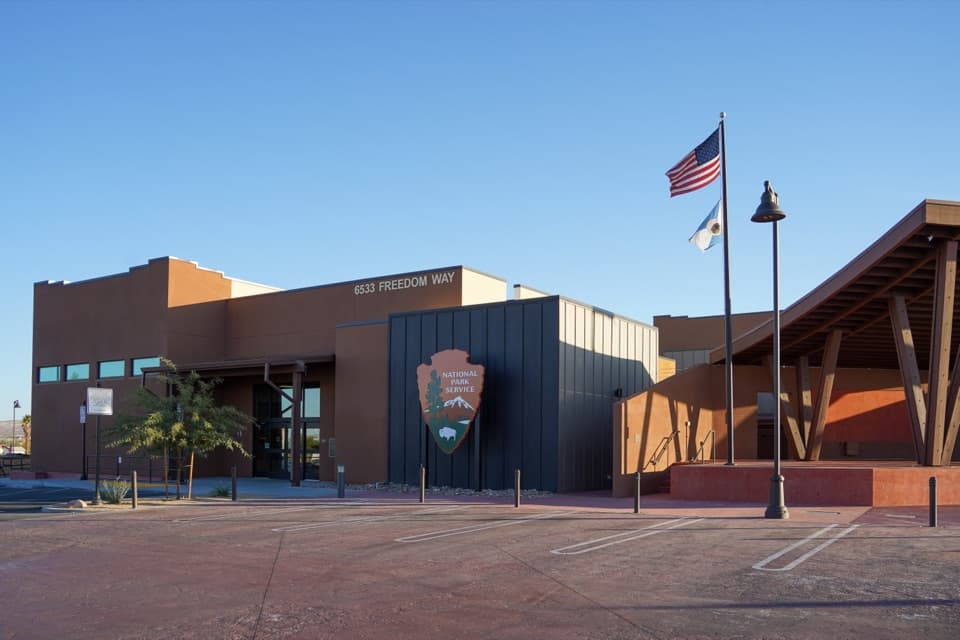
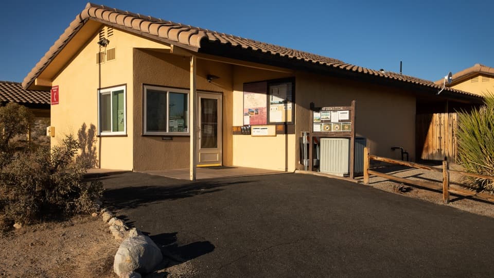
Use the Oasis of Mara Trailhead at park headquarters in Twentynine Palms. The lot has 45 standard spaces and 2 van-accessible spaces. Flush restrooms, drinking water and a bottle-filling station are near the lot; picnic tables, benches and a shelter are on the grounds.

Safety

Pets are prohibited on hiking trails throughout Joshua Tree, including this paved route.

5 active Joshua Tree alerts

  • ClosureOasis of Mara Trail closed past the OasisMentions this trailThe Oasis of Mara Trail is closed past the Oasis due to a heavy flooding event; do not continue beyond the Oasis. Check current park conditions before visiting.Official details
  • ClosureSR 62 and US 95 closed by floodingFlooding has closed portions of SR 62 and US 95; avoid the closed segments.Official details
See all 5 alerts
A park ranger sits on a dash-mounted phone, talking, as Parkwolf’s Tour Guide plays “Army Cutworm Moths: A Grizzly Bear Buffet” on Grand Loop Road below Dunraven Pass in Yellowstone
Parkwolf Tour GuideThe highest, rockiest slopes around here are a summer buffet for grizzly bears.

Joshua Tree Tour Guide

Your drive to Oasis of Mara Trail, narrated.

Parkwolf is a GPS audio tour guide for Joshua Tree National Park. As you drive, it chimes in with what’s ahead: hidden gems, upcoming stops, history, geology, and wildlife, right through your car’s speakers.

See the Joshua Tree audio tour

Recorded for this trailhead

Oasis of Mara: Palms and a Serrano Story
0:00 / 0:31
“Up ahead is the Oasis of Mara at park headquarters in Twentynine Palms. For an easy look at a fan-palm grove, the half-mile paved loop takes about fifteen to thirty minutes and is wheelchair accessible.”

Plays as you drive up to this trailhead in the Parkwolf Joshua Tree Tour Guide.

More stories near here in the app

  • A Shrub for a Nursery
  • Sky's the Limit: Walk the Solar System
  • Contact Mine: A Hike to the Old Workings
  • Fortynine Palms: Over the Ridge
  • 89 audio storiesacross Joshua Tree’s roads, triggered by GPS as you drive
  • Wildlife heatmapsfor Bighorn Sheep, Golden Eagle, Desert Tortoise, and 13 more
  • Works offlinemaps, 60 trails, 64 places, and audio download before you lose signal
  • CarPlay readysimple controls built for the drive
★★★★★
“Fantastic app with many points of information… It’s great to just turn on while you’re driving and it gives you an audio tour of the national Park. We love it!!!!”
JMJamesApp Store review
Download Parkwolf on the App StoreGet Parkwolf on Google Play

4.7 from 8,600+ ratings

Trail guide

Hiking Oasis of Mara Trail

A short, easy oasis loopOasis of Mara Trail is an easy 0.

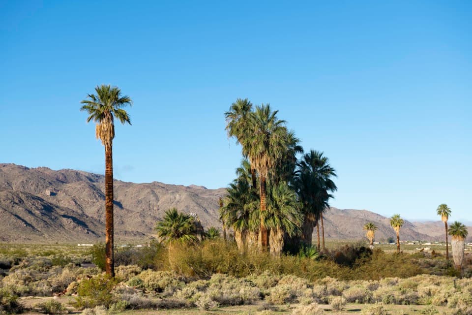
Oasis of Mara Trail is an easy 0.5-mile paved loop from Joshua Tree headquarters in Twentynine Palms. A short approach leads to the fan-palm oasis, then the trail circles it and returns. The grade is minimal, and the park lists the route as wheelchair accessible and stroller friendly. Give it about 15–30 minutes if you read the signs and pause for birds. Dogs are not allowed on park trails, including this paved route.

Mara and its waterPeople of the Serrano community called this oasis Mara, a name associated with small springs…

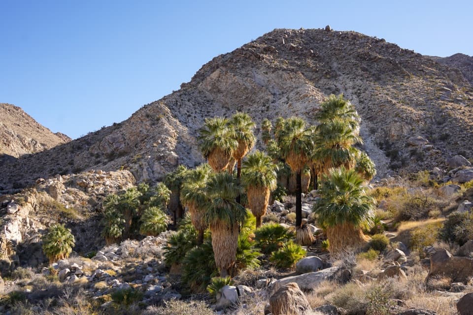
People of the Serrano community called this oasis Mara, a name associated with small springs and abundant grass. A Serrano oral tradition tells of 29 palms planted in the first year, then another whenever a boy was born. The spring rises along the Pinto Mountain Fault; its water once supported gardens of corn, beans, pumpkins and squash. Palms also supplied food and materials for clothing, cooking and homes.

Watch the palms and birdsSigns along the loop share Indigenous history and continuing connections to the place.

Signs along the loop share Indigenous history and continuing connections to the place. Look among the palms and desert shrubs for cactus wrens, phainopeplas and Gambel’s quail; orioles and palm-boring beetles also use the grove. The headquarters grounds have benches, picnic tables and a shelter, with flush restrooms and drinking water with a bottle-filling station near the parking lot.

Wildlife

Wildlife in Joshua Tree

All Joshua Tree wildlife maps

Sighting maps show where each species has been reported across Joshua Tree. Wildlife moves, so no sighting is guaranteed.

Keep exploring

Near Oasis of Mara Trail

See it all on the map

Trails that start nearby

Places near the trailhead

Parkwolf’s Joshua Tree ranking

Top-rated trails in Joshua Tree

All 60 trails
  1. 1Hidden Valley Nature TrailEasy · 1 mi
  2. 2Barker Dam Nature TrailEasy · 1.3 mi
  3. 3Ryan Mountain TrailChallenging · 3 mi
  4. 4Fortynine Palms Oasis TrailChallenging · 3 mi
  5. 5Lost Palms Oasis TrailChallenging · 7.5 mi
  6. 6Arch Rock TrailEasy · 1.3 mi

Take Parkwolf to Joshua Tree.

The audio tour guide for the drive, plus offline maps, trails, and wildlife heatmaps for when the signal drops.

4.7 from 8,600+ ratings

Download Parkwolf on the App StoreGet Parkwolf on Google Play