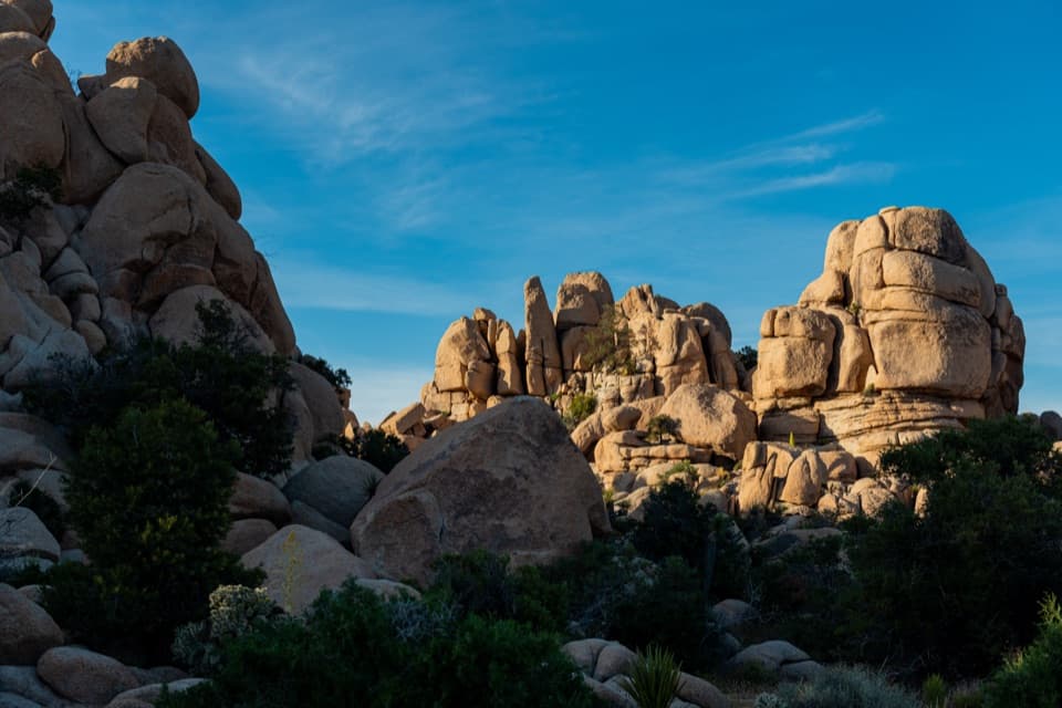
Cap Rock Nature Trail in Joshua Tree National Park

Joshua Tree National Park, CA

Cap Rock Nature Trail

A quick loop among boulders, Joshua trees, and trail signs.

Length
0.4mi
Time
36min
Elevation
Flat
Difficulty
Easy
  • Loop
  • No dogs
  • High point 4,285 ft
  • #27 of 60 in Joshua Tree

Hear the audio tour

Cap Rock: A Quick Look or Short Loop

Overview

About Cap Rock Nature Trail

Why go

  • A short loop brings you close to Joshua trees and sculpted boulder piles.
  • Interpretive signs and benches make it an easy nature stop.

Heads up

  • Little shade, loose sand, and overhanging rocks limit accessibility.

Map & elevation

The route

Loading the Joshua Tree map
Full map
Elevation4,252–4,285 ft
TrailheadCap Rock parking area33.98920, -116.16375
Keep this map with you offline in the Parkwolf app

Plan your hike

Before you go

Parking

From Park Boulevard, turn onto Keys View Road and continue about 0.2 mile to the Cap Rock Trailhead parking area. The lot has 2 accessible spaces and 25 other spaces; picnic tables, grills, and a vault toilet are nearby. The toilet has no running water.

Safety

There is little shade and no cell service. Bring water, especially in summer, and start before 10 a.m. on hot days. Sand can be loose or deeper in patches, and overhanging boulders may obstruct parts of the path.

5 active Joshua Tree alerts

  • ClosureOasis of Mara Trail closed past the OasisThe Oasis of Mara Trail is closed past the Oasis due to a heavy flooding event; do not continue beyond the Oasis. Check current park conditions before visiting.Official details
  • ClosureSR 62 and US 95 closed by floodingFlooding has closed portions of SR 62 and US 95; avoid the closed segments.Official details
See all 5 alerts
A park ranger sits on a dash-mounted phone, talking, as Parkwolf’s Tour Guide plays “Army Cutworm Moths: A Grizzly Bear Buffet” on Grand Loop Road below Dunraven Pass in Yellowstone
Parkwolf Tour GuideThe highest, rockiest slopes around here are a summer buffet for grizzly bears.

Joshua Tree Tour Guide

Your drive to Cap Rock Nature Trail, narrated.

Parkwolf is a GPS audio tour guide for Joshua Tree National Park. As you drive, it chimes in with what’s ahead: hidden gems, upcoming stops, history, geology, and wildlife, right through your car’s speakers.

See the Joshua Tree audio tour

Recorded for this trailhead

Cap Rock: A Quick Look or Short Loop
0:00 / 0:28
“Cap Rock is coming up, named for its broad, flat-topped boulder. You can see it from the parking area, so this works as a quick look or a picnic at the tables and grills.”

Plays as you drive up to this trailhead in the Parkwolf Joshua Tree Tour Guide.

More stories near here in the app

  • Minerva Hoyt Trail and a Desert Campaigner
  • Ryan Ranch: Adobe and Mining History
  • Ryan Campground Among the Joshua Trees
  • Oyster Bar: Where Two Rocks Meet
  • 89 audio storiesacross Joshua Tree’s roads, triggered by GPS as you drive
  • Wildlife heatmapsfor Bighorn Sheep, Golden Eagle, Desert Tortoise, and 13 more
  • Works offlinemaps, 60 trails, 64 places, and audio download before you lose signal
  • CarPlay readysimple controls built for the drive
★★★★★
“Fantastic app with many points of information… It’s great to just turn on while you’re driving and it gives you an audio tour of the national Park. We love it!!!!”
JMJamesApp Store review
Download Parkwolf on the App StoreGet Parkwolf on Google Play

4.7 from 8,600+ ratings

Trail guide

Hiking Cap Rock Nature Trail

A short loop among the bouldersCap Rock Nature Trail is an easy 0.

Cap Rock Nature Trail is an easy 0.4-mile loop from Cap Rock parking area, with about 20 feet of climbing and a typical visit of 30–45 minutes. It winds through Joshua tree woodland and around monzogranite boulder piles, with interpretive signs about local plants and wildlife. Come for a close look at the rocks and an easy break in the drive; this is a short roadside walk rather than a long hike.

Mostly flat, with a few rough edgesThe dirt tread is mostly hard-packed sand, nearly level with a few mild inclines.

The dirt tread is mostly hard-packed sand, nearly level with a few mild inclines. Sand can be loose or deeper in places, and large boulders overhang a few sections and may form barriers. Benches sit along the route, but this is not a paved or uniformly accessible path.

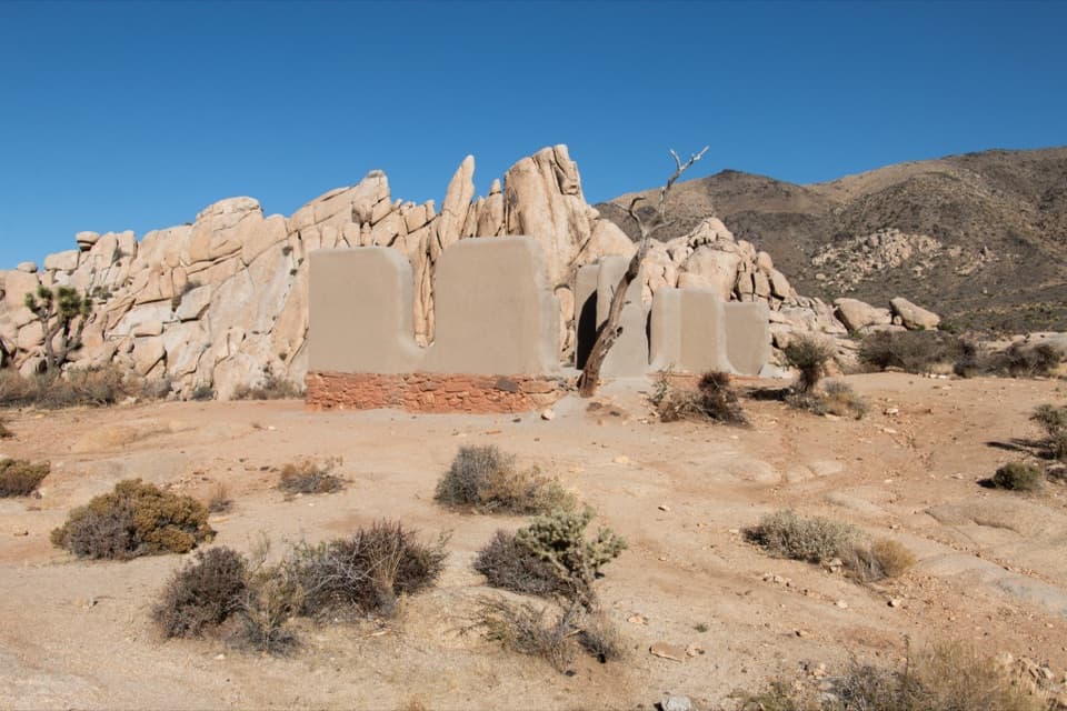
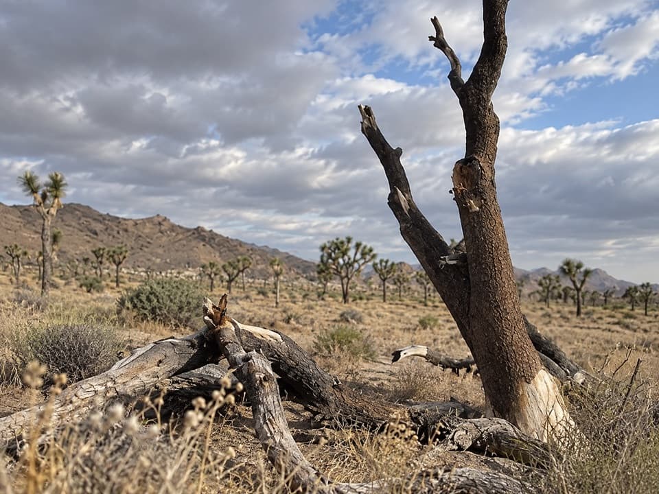
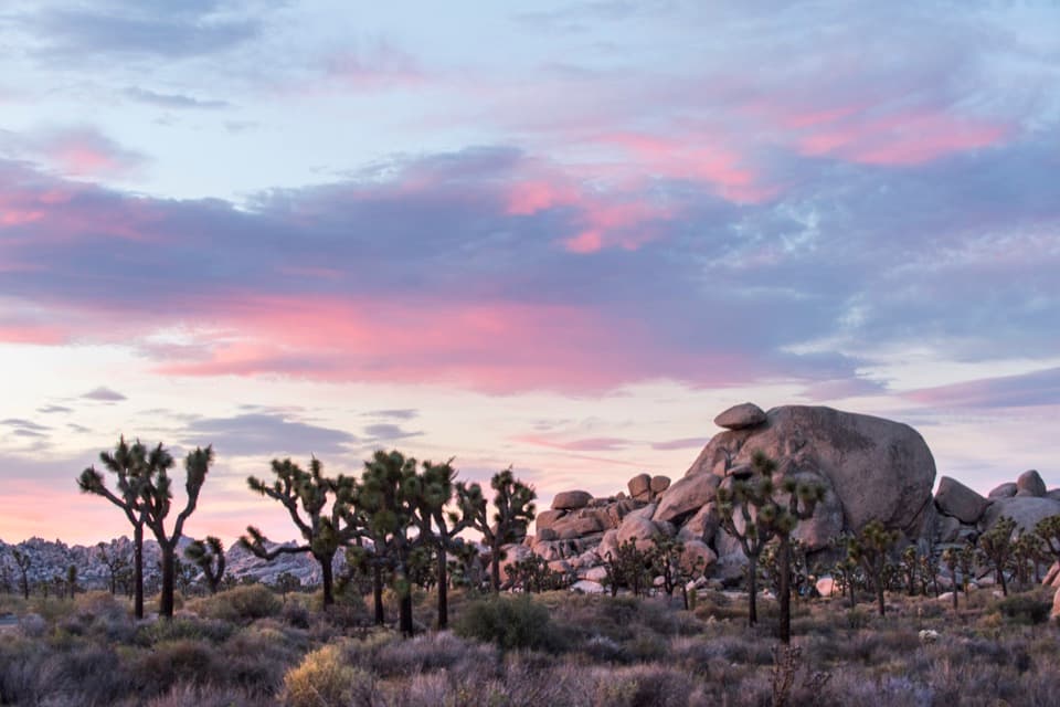
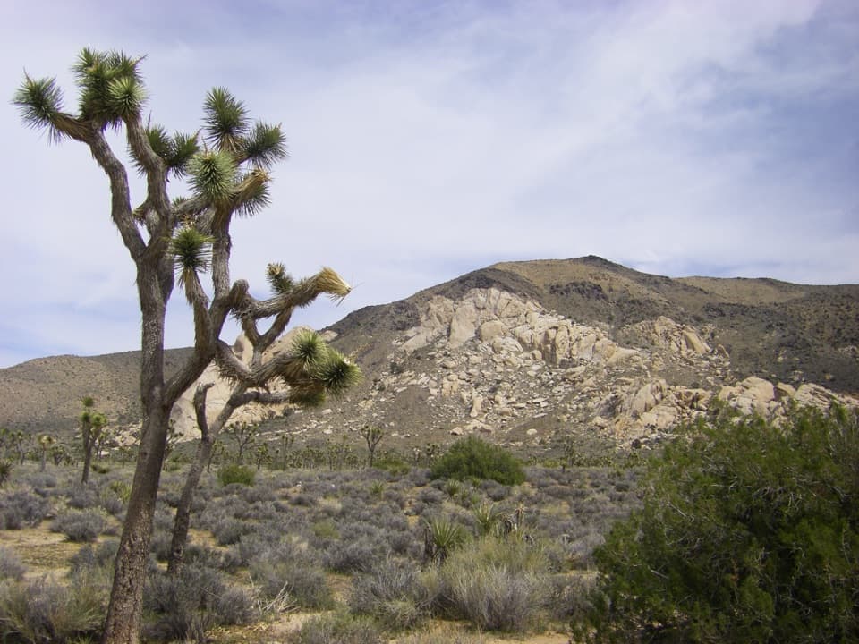
The rocks and desert plantsThe rounded granite formations and Joshua trees are the main sights.

The rounded granite formations and Joshua trees are the main sights. Signs along the walk introduce the plants and wildlife, and benches make it easy to linger. For a photo, include a Joshua tree or a stretch of trail beside the boulders to give the rocks scale.

Start at the parking areaFrom Park Boulevard, turn onto Keys View Road and continue about 0.

From Park Boulevard, turn onto Keys View Road and continue about 0.2 mile to the Cap Rock Trailhead. Picnic tables, grills, and a vault toilet are beside the lot; the toilet has no running water. There is little shade and no cell service. Carry water, and on hot summer days start before 10 a.m. Pets are not allowed; service animals are welcome.

Wildlife

Wildlife in Joshua Tree

All Joshua Tree wildlife maps

Sighting maps show where each species has been reported across Joshua Tree. Wildlife moves, so no sighting is guaranteed.

Keep exploring

Near Cap Rock Nature Trail

See it all on the map

Trails that start nearby

Places near the trailhead

Parkwolf’s Joshua Tree ranking

Top-rated trails in Joshua Tree

All 60 trails
  1. 1Hidden Valley Nature TrailEasy · 1 mi
  2. 2Barker Dam Nature TrailEasy · 1.3 mi
  3. 3Ryan Mountain TrailChallenging · 3 mi
  4. 4Fortynine Palms Oasis TrailChallenging · 3 mi
  5. 5Lost Palms Oasis TrailChallenging · 7.5 mi
  6. 6Arch Rock TrailEasy · 1.3 mi

Take Parkwolf to Joshua Tree.

The audio tour guide for the drive, plus offline maps, trails, and wildlife heatmaps for when the signal drops.

4.7 from 8,600+ ratings

Download Parkwolf on the App StoreGet Parkwolf on Google Play