Parking
Start at Stubbe Springs Trailhead, the Juniper Flats backcountry trailhead. The listed amenities are auto parking and an information board; lot capacity, fees, toilets, potable water and food service were not found.
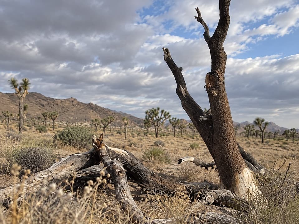
Joshua Tree National Park, CA
A long, sandy desert loop to a green spring valley.
Overview
Map & elevation
Plan your hike

The highest, rockiest slopes around here are a summer buffet for grizzly bears.
Joshua Tree Tour Guide
Parkwolf is a GPS audio tour guide for Joshua Tree National Park. As you drive, it chimes in with what’s ahead: hidden gems, upcoming stops, history, geology, and wildlife, right through your car’s speakers.
See the Joshua Tree audio tourRecorded for this trailhead
Stubbe Springs: A Full Day from Juniper Flats“You're approaching the Juniper Flats trailhead for Stubbe Springs, a twelve-mile backcountry loop. Allow about six hours of walking, plus breaks, through open desert and hills with pinyon pines and junipers.”
Plays as you drive up to this trailhead in the Parkwolf Joshua Tree Tour Guide.
More stories near here in the app
“Fantastic app with many points of information… It’s great to just turn on while you’re driving and it gives you an audio tour of the national Park. We love it!!!!”


Trail guide
Stubbe Springs Loop Trail is a 12-mile backcountry circuit from the Juniper Flats trailhead in Joshua Tree. It follows the California Riding and Hiking Trail out, connects through the Stubbe Springs paths, and returns on Juniper Flats Road. The full route is a loop; 12 miles is the whole outing, not a one-way distance. Pick it for a long walk through open desert and hilly terrain, not for a quick stop at the spring. Allow about six hours of walking and keep extra daylight for breaks or the optional Fan Canyon Overlook spur.
The route starts in an open valley of grasses, wildflowers, desert shrubs and Joshua trees. Soft sand slows the first stretch. Farther on, the trail passes high points, canyons and more mountainous ground, where pinyon pines and junipers join the desert plants. A wash crossing and rolling hills break up the walk. This is a long backcountry ramble rather than a technical summit climb, but the sandy footing and distance make it a substantial day.
Thicker vegetation gathers around Stubbe Spring, making its ravine a sharp change from the surrounding dry valley. Treat it as a landscape feature, not a dependable water stop: the spring has appeared dry, and natural water sources are delicate. Bring all the water you need. Camping near the spring is prohibited to protect the sensitive area.
A short optional spur reaches Fan Canyon Overlook, where the view opens toward the Coachella Valley. The detour adds about 0.3 mile and is outside the mapped 12-mile circuit. Keep an eye on the turn when you retrace the spur: at least one hiker reported losing its faint line on the return.
The trailhead has an information board and auto parking, but no food, restroom or potable water is listed there. Carry at least a gallon of water per person for the day, and more in hot weather. Juniper Flats is higher and cooler than the park’s low desert; freezing temperatures are common in colder months. Washes can carry water after heavy rain, so do not enter one when storms threaten. Pets are not allowed in the backcountry. Overnight trips require a backcountry permit, and camping is not allowed near the spring. Check current road conditions before driving to the trailhead.
Wildlife
 129 sightingsBighorn SheepMost seen around 6 PMSighting map
 15 sightingsGolden EagleMost seen around 10 AMSighting map
 413 sightingsDesert TortoiseMost seen around 8 AMSighting map
 275 sightingsCoyoteMost seen around 6 AMSighting map
 47 sightingsBobcatMost seen around 6 PMSighting map
 32 sightingsMule DeerMost seen around 6 AMSighting map
Sighting maps show where each species has been reported across Joshua Tree. Wildlife moves, so no sighting is guaranteed.
Keep exploring
 EasyCap Rock Nature Trail0.4 mi · 36 min · 0.9 mi awayA quick loop among boulders, Joshua trees, and trail signs.
 ModerateBig Trees Trail6 mi · 3.5 hr · 1 mi awayA long out-and-back among some of the park's larger Joshua trees.
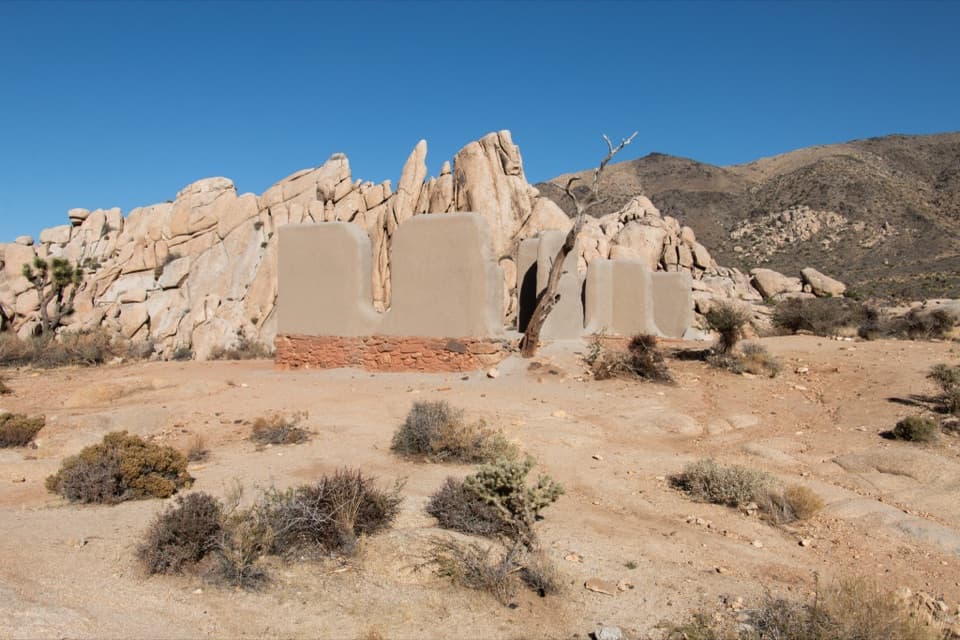 EasyRyan Ranch Trail1 mi · 1 hr · 1.1 mi awayAn easy mile to the old adobe ranch and fallen windmill.
 EasyMinerva Hoyt Trail3 mi · 1.5 hr · 1.3 mi awayJoshua trees and granite on a three-mile Hidden Valley out-and-back.
 ChallengingLost Horse Loop6.3 mi · 3.5 hr · 1.8 mi awayAn exposed loop past a historic mine with broad desert views.
 ModerateLost Horse Mine Trail4 mi · 2.5 hr · 1.8 mi awayA rocky desert walk to a wooden mine and stamp mill.
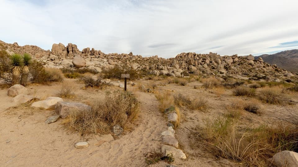 ModeratePaac Kü̱vü̱hü̱’k Trail4.5 mi · 3 hr · 2.3 mi awayA long, exposed traverse through open desert and scattered boulders.
 ChallengingRyan Mountain Trail3 mi · 2 hr · 2.4 mi awayA steady ridge climb to a 360-degree desert panorama
 Campground · 0.7 mi awayRyan CampgroundCamp among boulders, with a short walk to 1896 ranch ruins.
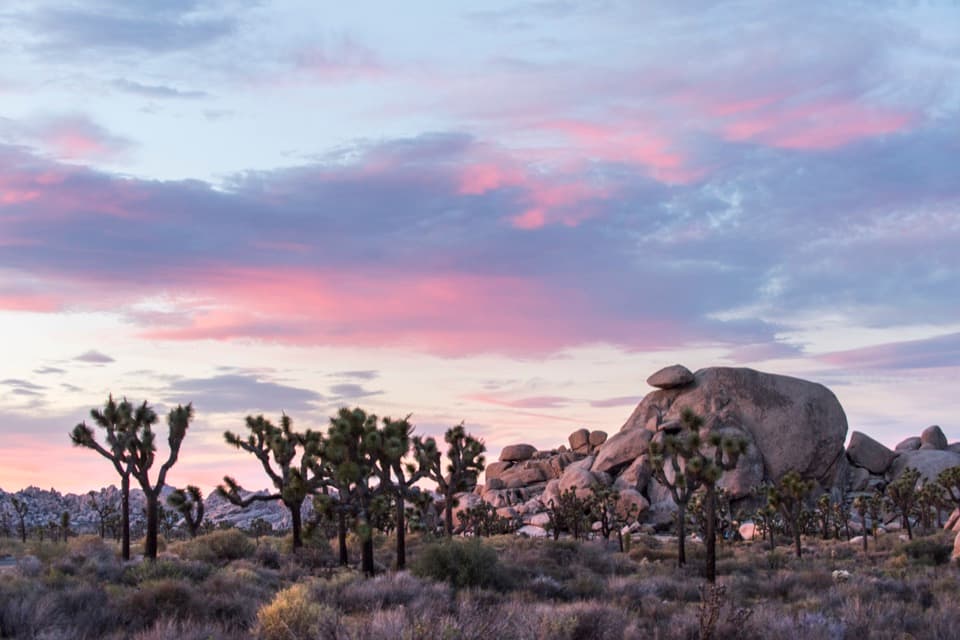 Sight · 0.9 mi awayCap RockA short boulder loop with a cap-shaped rock beside Joshua trees.Sight · 1 mi awayRyan RanchA short desert walk to the remains of an 1896 adobe homestead.
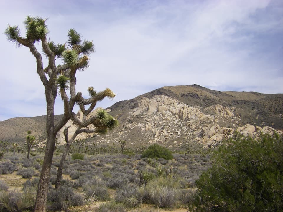 Sight · 1.4 mi awayOyster BarA roadside rock formation with desert views and climbing access.
 Sight · 1.8 mi awayRyan MountainClimb through ancient banded rock for a 360-degree summit view.
 Sight · 1.9 mi awayHall of HorrorsTwo tight slots tucked into a maze of climbable boulders.
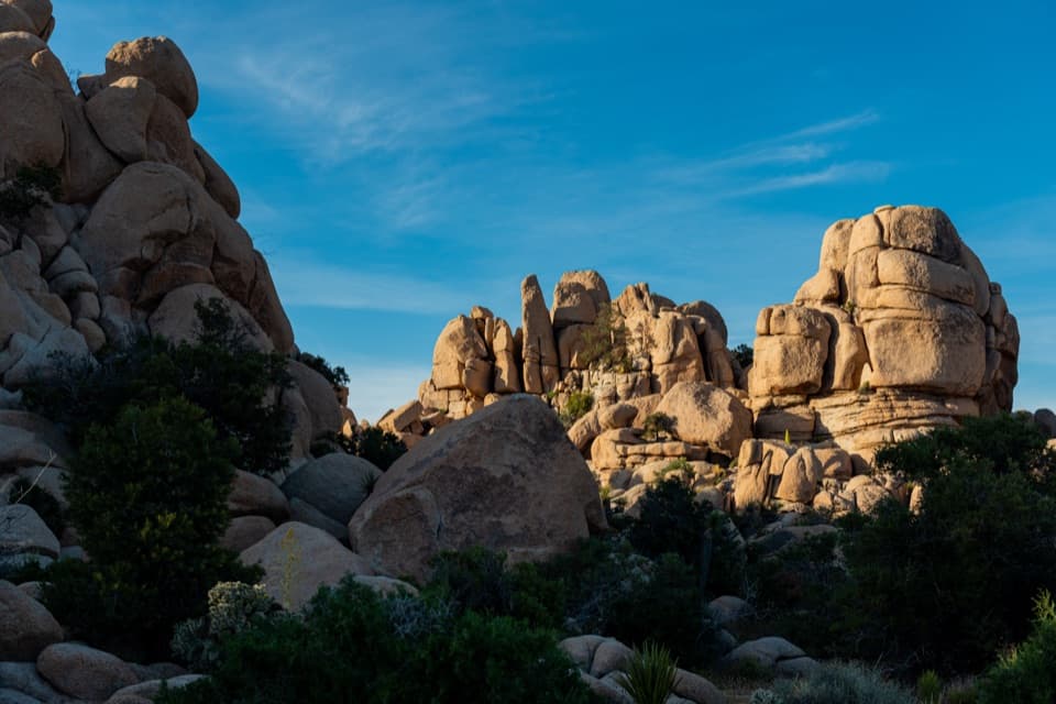 Picnic area · 2.4 mi awayHidden Valley Picnic AreaA rocky picnic spot that doubles as a designated stargazing stop.
 Sight · 2.4 mi awayRyan Mountain Stargazing AreaA no-hike night-sky stop with parking, restroom and trail access.
Parkwolf’s Joshua Tree ranking

The audio tour guide for the drive, plus offline maps, trails, and wildlife heatmaps for when the signal drops.




