Big Trees Trail in Joshua Tree National Park

Joshua Tree National Park, CA

Big Trees Trail

A long out-and-back among some of the park's larger Joshua trees.

Length
6mi
Time
3.5hr
Elev. change
374ft
Difficulty
Moderate
  • No dogs
  • High point 4,721 ft

Hear the audio tour

Ryan Campground Among the Joshua Trees

Overview

About Big Trees Trail

Why go

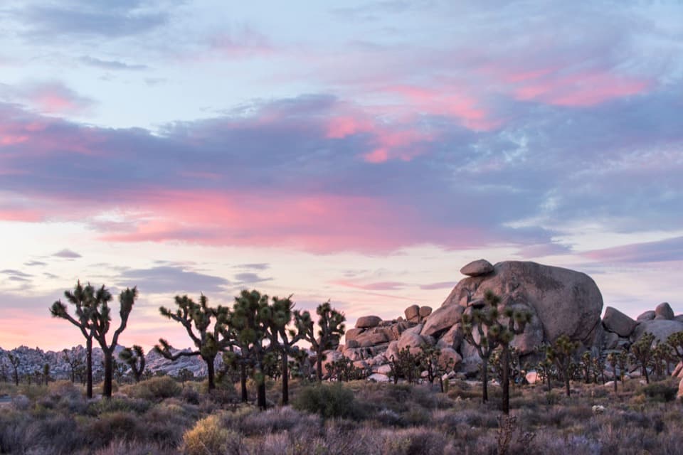
  • Some of the park’s larger Joshua trees line the route.

Heads up

  • The Juniper Flats access adds roughly two miles to the public outing.

Map & elevation

The route

Loading the Joshua Tree map
Full map
Elevation4,347–4,721 ft
TrailheadRyan Campground, Big Trees junction near campsite 1333.98353, -116.14948
Keep this map with you offline in the Parkwolf app

Plan your hike

Before you go

Parking

Campers can start near campsite 13 at Ryan Campground. Other visitors park at Juniper Flats and hike northeast on the California Riding and Hiking Trail to the campground and Big Trees junction; allow about a mile each way for this access walk.

Safety

The far junction sits roughly 360 feet above Ryan Campground on the mapped terrain, despite a published gain figure under 100 feet; plan for a climb on the return. Summer days can exceed 100°F, and Ryan Campground has no potable water. Carry enough water for the entire outing.

5 active Joshua Tree alerts

  • ClosureOasis of Mara Trail closed past the OasisThe Oasis of Mara Trail is closed past the Oasis due to a heavy flooding event; do not continue beyond the Oasis. Check current park conditions before visiting.Official details
  • ClosureSR 62 and US 95 closed by floodingFlooding has closed portions of SR 62 and US 95; avoid the closed segments.Official details
See all 5 alerts
A park ranger sits on a dash-mounted phone, talking, as Parkwolf’s Tour Guide plays “Army Cutworm Moths: A Grizzly Bear Buffet” on Grand Loop Road below Dunraven Pass in Yellowstone
Parkwolf Tour GuideThe highest, rockiest slopes around here are a summer buffet for grizzly bears.

Joshua Tree Tour Guide

Your drive to Big Trees Trail, narrated.

Parkwolf is a GPS audio tour guide for Joshua Tree National Park. As you drive, it chimes in with what’s ahead: hidden gems, upcoming stops, history, geology, and wildlife, right through your car’s speakers.

See the Joshua Tree audio tour

Recorded for this trailhead

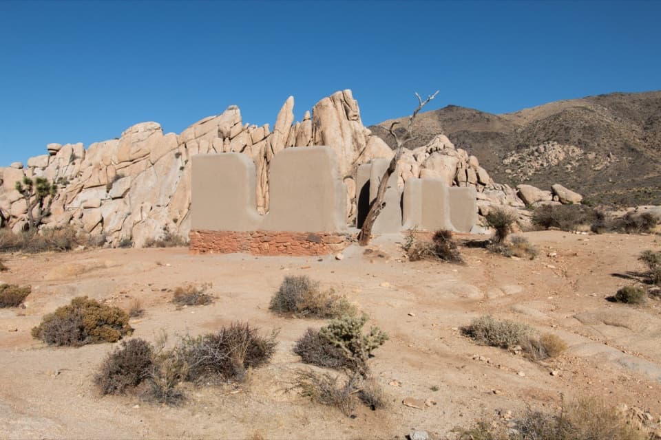
Ryan Campground Among the Joshua Trees
0:00 / 0:21
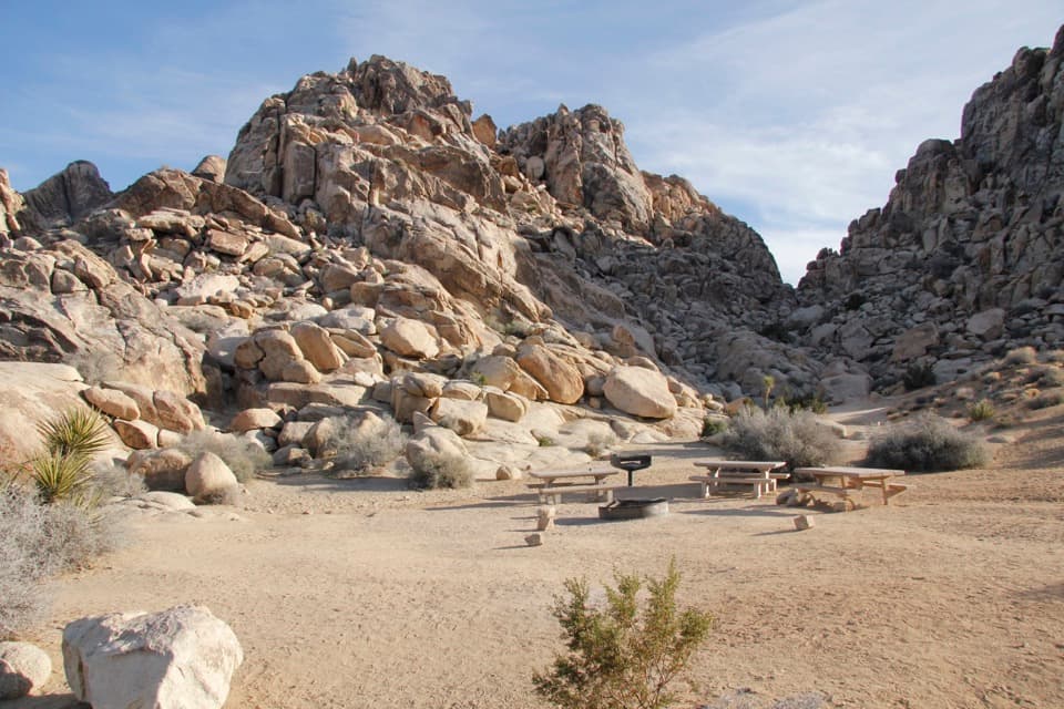
“Up ahead is Ryan Campground, a small camping base among Joshua trees and granite boulders. Choose it if you want nearby climbing and access to the California Riding and Hiking Trail.”

Plays as you drive up to this trailhead in the Parkwolf Joshua Tree Tour Guide.

More stories near here in the app

  • Ryan Ranch: Adobe and Mining History
  • Oyster Bar: Where Two Rocks Meet
  • Cap Rock: A Quick Look or Short Loop
  • Stubbe Springs: A Full Day from Juniper Flats
  • 89 audio storiesacross Joshua Tree’s roads, triggered by GPS as you drive
  • Wildlife heatmapsfor Bighorn Sheep, Golden Eagle, Desert Tortoise, and 13 more
  • Works offlinemaps, 60 trails, 64 places, and audio download before you lose signal
  • CarPlay readysimple controls built for the drive
★★★★★
“Fantastic app with many points of information… It’s great to just turn on while you’re driving and it gives you an audio tour of the national Park. We love it!!!!”
JMJamesApp Store review
Download Parkwolf on the App StoreGet Parkwolf on Google Play

4.7 from 8,600+ ratings

Trail guide

Hiking Big Trees Trail

A six-mile walk to the Lost Horse connectionBig Trees Trail is an out-and-back from Ryan Campground near campsite 13 to its junction with…

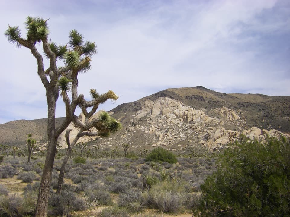
Big Trees Trail is an out-and-back from Ryan Campground near campsite 13 to its junction with Lost Horse Mine Trail, then back. The park lists it at about six miles round trip. The main reason to go is the chance to spend a few hours among some of the park’s larger Joshua trees and its desert vegetation. Allow roughly three to four hours for the trail itself, with time to watch for wildlife.

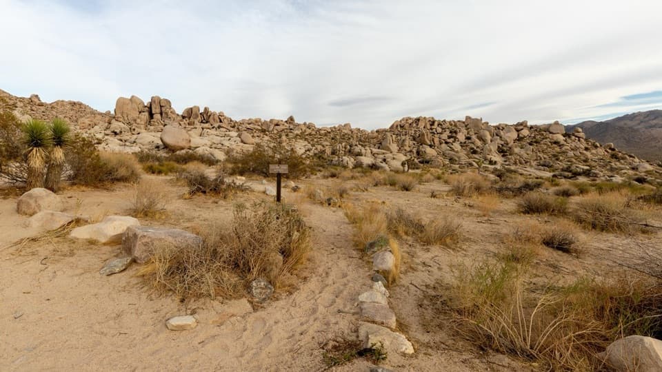
Start at the campgroundThe trail begins near campsite 13.

The trail begins near campsite 13. If you are not staying at Ryan Campground, park at Juniper Flats and hike northeast on the California Riding and Hiking Trail to the campground, then continue to the Big Trees junction. That public access walk adds about a mile each way, so the outing from Juniper Flats is longer than the six-mile trail figure. The Big Trees route turns at the Lost Horse Mine Trail junction; continuing to the mine or around Lost Horse Loop makes a different, longer hike.

Look up into the treesThe route passes some of the larger Joshua trees in the park.

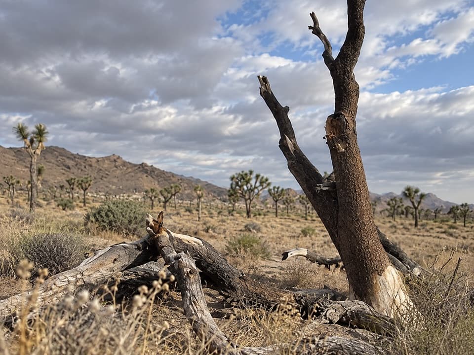
The route passes some of the larger Joshua trees in the park. Red-tailed hawks and Scott’s orioles may nest in their branches; jackrabbits, burrowing ground squirrels and lizards are possible sightings on the ground. Give the trees room and watch for wildlife without approaching nests.

Plan for the climb and desert weatherThere is a meaningful elevation disagreement: the published trail description says under 100…

There is a meaningful elevation disagreement: the published trail description says under 100 feet of gain, while the mapped terrain places the Lost Horse junction roughly 360 feet above the campground and shows additional rolling ups and downs. Expect a climb back to camp and treat the figures as approximate. Spring and fall are the most comfortable seasons; summer days can exceed 100°F and winter nights can freeze. Ryan Campground has vault toilets but no potable water, so bring enough for the whole outing.

Wildlife

Wildlife in Joshua Tree

All Joshua Tree wildlife maps

Sighting maps show where each species has been reported across Joshua Tree. Wildlife moves, so no sighting is guaranteed.

Keep exploring

Near Big Trees Trail

See it all on the map

Trails that start nearby

Places near the trailhead

Parkwolf’s Joshua Tree ranking

Top-rated trails in Joshua Tree

All 60 trails
  1. 1Hidden Valley Nature TrailEasy · 1 mi
  2. 2Barker Dam Nature TrailEasy · 1.3 mi
  3. 3Ryan Mountain TrailChallenging · 3 mi
  4. 4Fortynine Palms Oasis TrailChallenging · 3 mi
  5. 5Lost Palms Oasis TrailChallenging · 7.5 mi
  6. 6Arch Rock TrailEasy · 1.3 mi

Take Parkwolf to Joshua Tree.

The audio tour guide for the drive, plus offline maps, trails, and wildlife heatmaps for when the signal drops.

4.7 from 8,600+ ratings

Download Parkwolf on the App StoreGet Parkwolf on Google Play