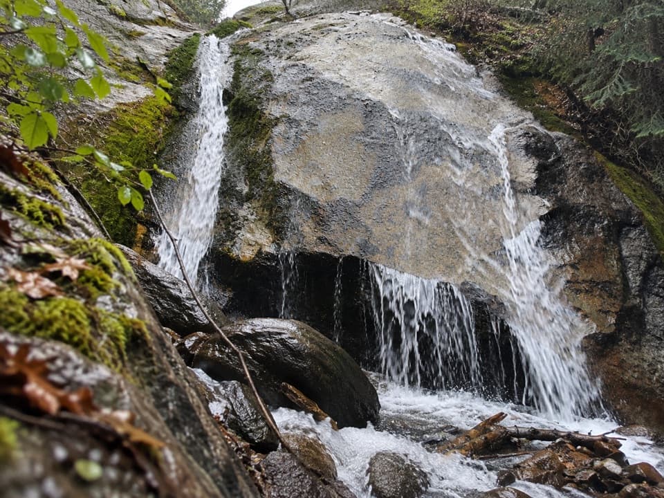
Sheep Creek Cascade in Kings Canyon National Park

Sight · Kings Canyon National Park

Sheep Creek Cascade

A shady waterfall hike with Monarch Divide views.

Type
Sight
Nearest trail
1.2 mi
Audio stories
4 nearby
  • Parking
  • Trailhead

Hear the audio tour

Cedar Grove Village

Overview

About Sheep Creek Cascade

Why stop

  • Monarch Divide views along the climb

Heads up

  • A 600-foot climb for a small waterfall
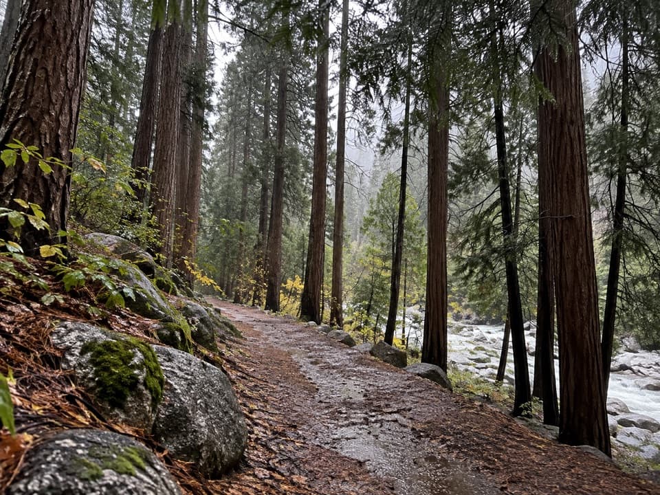
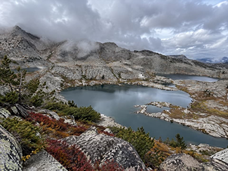
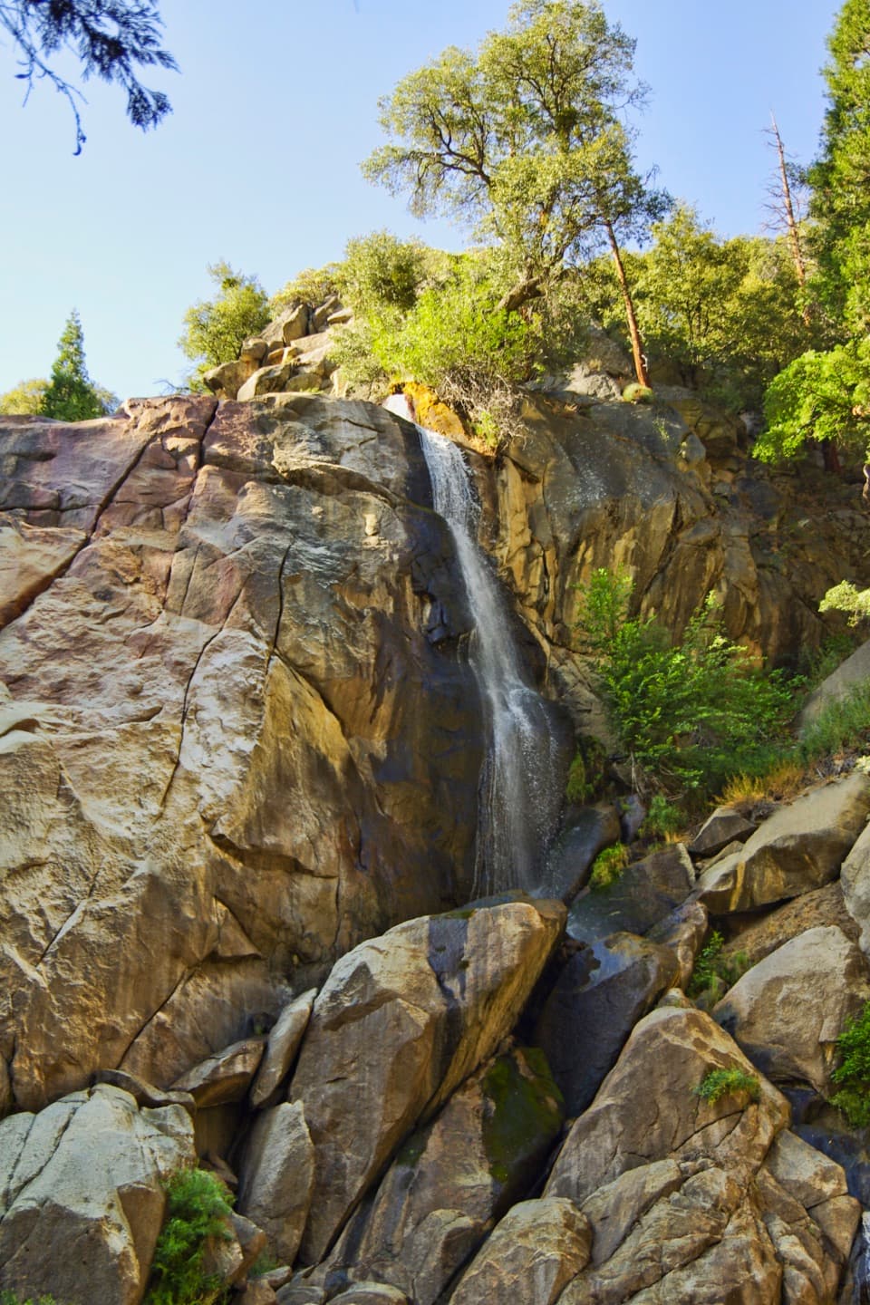
Sheep Creek Cascade is a small waterfall in a shady glen on Sheep Creek, reached by the Don Cecil Trail in Cedar Grove. It is a two-mile round trip with 600 feet of climbing; allow about 1½ hours. I would choose it for a forested creek walk and views of the Monarch Divide, not as a quick roadside waterfall stop.
Parkwolf’s verdictA small cascade worth a walk

Map

Where it is

Loading the Kings Canyon map
Full map
SightSheep Creek Cascade36.77701, -118.68432
Keep this map with you offline in the Parkwolf app

Plan your stop

Before you go

8 active Kings Canyon alerts

  • CautionStage 1 fire restrictionsStage 1 fire restrictions are active because high fire danger raises the risk of accidental human-caused fires that could threaten visitors and employees.Official details
  • ClosureGrant Grove trails and areas closed for prescribed fireSome trails and areas around Grant Grove and the General Grant Tree are closed during an active prescribed burn; stay out until crews clear hazards and reopen them.Official details

See all 8 alerts
A park ranger sits on a dash-mounted phone, talking, as Parkwolf’s Tour Guide plays “Army Cutworm Moths: A Grizzly Bear Buffet” on Grand Loop Road below Dunraven Pass in Yellowstone
Parkwolf Tour GuideThe highest, rockiest slopes around here are a summer buffet for grizzly bears.

Kings Canyon Tour Guide

Your drive to Sheep Creek Cascade, narrated.

Parkwolf is a GPS audio tour guide for Kings Canyon National Park. As you drive, it chimes in with what’s ahead: hidden gems, upcoming stops, history, geology, and wildlife, right through your car’s speakers.

See the Kings Canyon audio tour

Recorded for this place

Cedar Grove Village
0:00 / 0:35
“You're approaching Cedar Grove Village, a useful stop for a meal, supplies, or help planning a canyon walk.”

Plays as you drive up to Sheep Creek Cascade in the Parkwolf Kings Canyon Tour Guide.

More stories near here in the app

  • Hotel Creek Trailhead and Cedar Grove Overlook
  • Cedar Grove's Flat Green Sprays
  • Lewis Creek Trailhead and Kennedy Pass
  • Deer Cove Trailhead and Grizzly Lakes
  • 55 audio storiesacross Kings Canyon’s roads, triggered by GPS as you drive
  • Wildlife heatmapsfor Black Bear, Mule Deer, Marmot, and 13 more
  • Works offlinemaps, 77 trails, 61 places, and audio download before you lose signal
  • CarPlay readysimple controls built for the drive
★★★★★
“…The kids and my husband and I all agree that the narration really added to our experience driving through the parks. We learned so much about the history and the flora & fauna.”
JessestblondeApp Store review
Download Parkwolf on the App StoreGet Parkwolf on Google Play

4.7 from 8,600+ ratings

Guide

More about Sheep Creek Cascade

Getting to the creekPark near Cedar Grove Visitor Center and follow the access trail to the trailhead across…

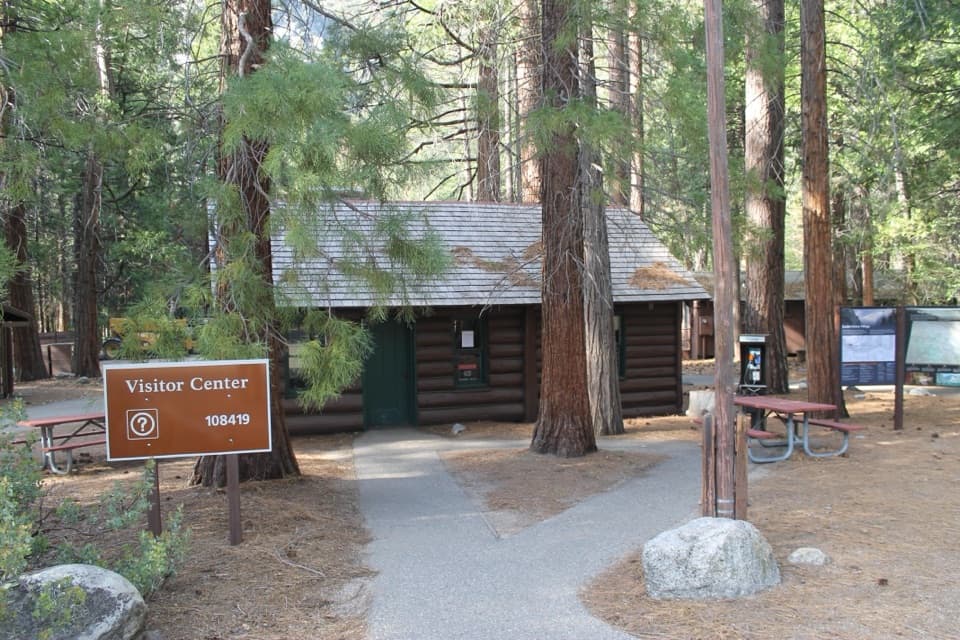
Park near Cedar Grove Visitor Center and follow the access trail to the trailhead across Highway 180. Don Cecil climbs the relatively cool, north-facing canyon slope. Cedar Grove generally opens from May into early or mid-November, but dates shift with conditions, so check access before building a trip around it. Dogs are not allowed on park trails.

The old way into Cedar GroveBefore Highway 180 was completed in 1939, Don Cecil Trail was the main access route into Cedar…

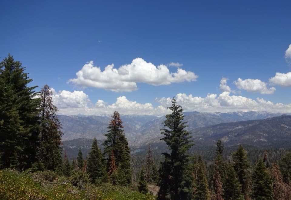
Before Highway 180 was completed in 1939, Don Cecil Trail was the main access route into Cedar Grove. Today it is a day hike, with Monarch Divide views along the climb before the trail reaches the shady creek glen.

Frame the divided fallsAt the cascade, water spreads over sloping pale rock into several narrow drops.

At the cascade, water spreads over sloping pale rock into several narrow drops. For a photo, include the ledges and the water below; a tight crop on one stream loses the broken shape that makes this a cascade.

Wildlife

Wildlife in Kings Canyon

All Kings Canyon wildlife maps

Sighting maps show where each species has been reported across Kings Canyon. Wildlife moves, so no sighting is guaranteed.

Keep exploring

Near Sheep Creek Cascade

See it all on the map

Trails nearby

More stops nearby

Parkwolf’s Kings Canyon ranking

Top sights in Kings Canyon

All 61 places
  1. 1General Grant TreeSight
  2. 2Zumwalt MeadowSight
  3. 3Roaring River FallsSight
  4. 4Panoramic Point OverlookSight
  5. 5Grizzly FallsSight
  6. 6Boyden CavernSight

Take Parkwolf to Kings Canyon.

The audio tour guide for the drive, plus offline maps, trails, and wildlife heatmaps for when the signal drops.

4.7 from 8,600+ ratings

Download Parkwolf on the App StoreGet Parkwolf on Google Play