Parking
Park near the Cedar Grove Visitor Center and follow the access trail across Highway 180 to Don Cecil Trail.

Kings Canyon National Park, CA
A long historic climb opens over the whole canyon.
Overview
Map & elevation
Plan your hike

The highest, rockiest slopes around here are a summer buffet for grizzly bears.
Kings Canyon Tour Guide
Parkwolf is a GPS audio tour guide for Kings Canyon National Park. As you drive, it chimes in with what’s ahead: hidden gems, upcoming stops, history, geology, and wildlife, right through your car’s speakers.
See the Kings Canyon audio tourRecorded for this trailhead
Cedar Grove Village“You're approaching Cedar Grove Village, a useful stop for a meal, supplies, or help planning a canyon walk.”
Plays as you drive up to this trailhead in the Parkwolf Kings Canyon Tour Guide.
More stories near here in the app
“…The kids and my husband and I all agree that the narration really added to our experience driving through the parks. We learned so much about the history and the flora & fauna.”


Trail guide
Lookout Peak via Don Cecil Trail is a strenuous out-and-back from the Cedar Grove Visitor Center to an 8,531-foot summit above Kings Canyon. The visitor-center route traces to about 11 miles round trip, although some park information lists 13 miles. Expect roughly 3,800–4,000 feet of climbing and a full day either way. The route starts in forest, climbs to an open ridge, then becomes a faint summit path with a rocky scramble. The view across Kings Canyon, the Monarch Divide, Sentinel Ridge and the high Sierra is the payoff. Choose this if the long climb is the point; take the shorter cascade walk if it isn't.
Park near the Cedar Grove Visitor Center and follow the access trail across Highway 180 to Don Cecil Trail. The 11-mile estimate includes that connector. Don Cecil was the historic main route into Cedar Grove before Highway 180 was completed in 1939. The lower trail climbs the canyon's north-facing slope through forest. The visitor center has drinking water and accessible restrooms, but no food for sale; Cedar Grove Lodge in the village is a separate food stop.
About a mile up from the trailhead, a wooden bridge crosses Sheep Creek beside a shaded granite grotto. Water tumbles over the rock here, and this is the turnaround for the shorter waterfall outing: 2 miles round trip, about 1.5 hours and 600 feet of gain. The full summit route continues beyond the creek, so don't mistake the cascade for its endpoint.
Past Sheep Creek, the trail climbs a ridge between the creek and a tributary. Brushier south-facing slopes give way to denser forest on the north side. Around 3.5 miles in, the route drops to cross the tributary and passes a level stretch before climbing again toward Lookout Peak. Big views are limited until the summit ridge; this hike makes you earn them.
A 2010 burn scar opens the east slope and brings canyon views into the upper climb. Beyond the end of the maintained trail, the summit route gets faint and harder to follow. It winds through boulders, passes a false summit, then finishes with a steep scramble near the communications equipment. Turn back at the flatter spot below the towers if that last section isn't for you. From the rocky top, keep some foreground granite in a photo so the canyon's depth doesn't flatten into a wall of mountains.
The route is named for Don Cecil, a pioneering shepherd, and the trail predates the highway. Before Highway 180 reached Cedar Grove in 1939, this was the main access into the canyon. The first climb follows that older way in; the steep grade is part of the history, not a new approach built just for summit hikers.
Wildlife
 227 sightingsBlack BearMost seen around 7 PMSighting map
 385 sightingsMule DeerMost seen around 7 PMSighting map
 188 sightingsMarmotMost seen around 8 AMSighting map
 118 sightingsPikaMost seen around 7 AMSighting map
 14 sightingsGolden TroutMost seen around 7 PMSighting map
 32 sightingsRainbow TroutMost seen around 7 PMSighting map
Sighting maps show where each species has been reported across Kings Canyon. Wildlife moves, so no sighting is guaranteed.
Keep exploring
 ModerateSheep Creek Cascade Trail2 mi · 1.5 hr · At the trailheadA short climb to small falls in a shady Cedar Grove ravine.
 ChallengingCedar Grove Overlook via Hotel Creek Trail4.4 mi · 3.5 hr · 0.2 mi awayA steep 4.4-mile out-and-back to Kings Canyon views
 ModerateHotel Creek–Lewis Creek Loop8 mi · 5 hr · 0.2 mi awayCedar Grove loop with a canyon view and quiet pine stretch.
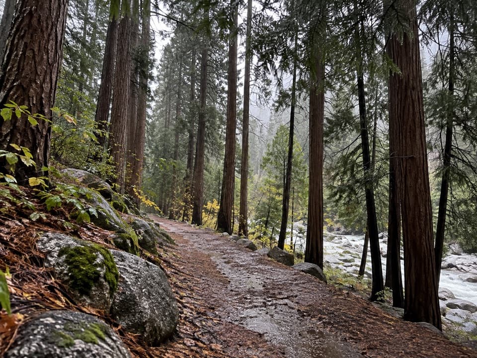 EasyCedar Grove River Road Walk6.6 mi · 2.5 hr · 0.2 mi awayA flat riverside road walk beneath granite cliffs.
 ChallengingLewis Creek Trail to Kennedy Pass19.6 mi · 18 hr · 1.3 mi awayA steep, high-country climb to a broad Sierra pass.
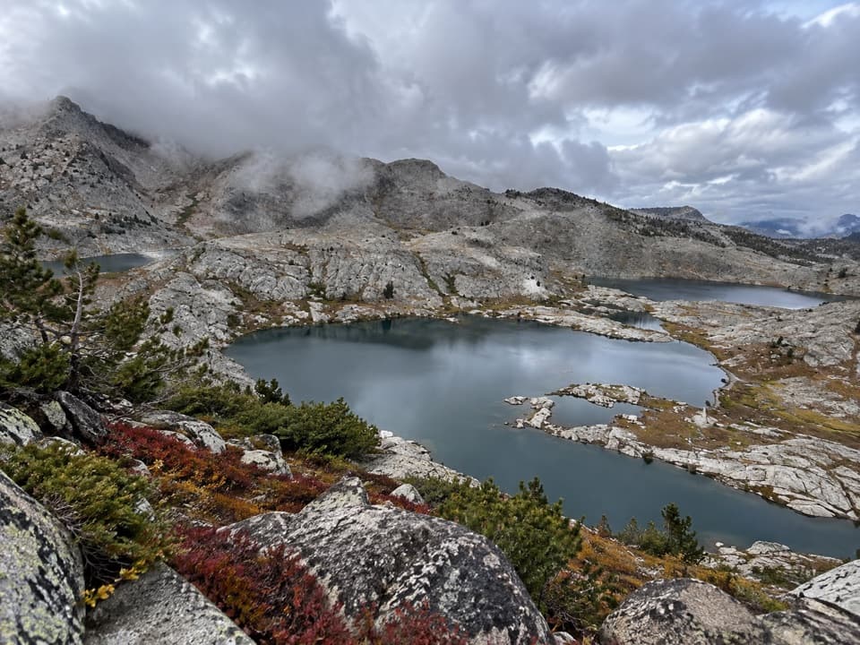 ChallengingVolcanic Lakes Loop37.6 mi · 1.5 days · 1.3 mi awayA chain of granite lakes rewards a long, rough cross-country route.
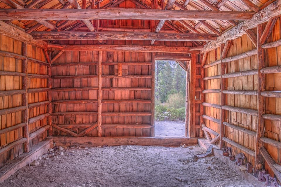 EasyKnapp’s Cabin Trail0.1 mi · 15 min · 2 mi awayA tiny cabin stop with a surprisingly big canyon view
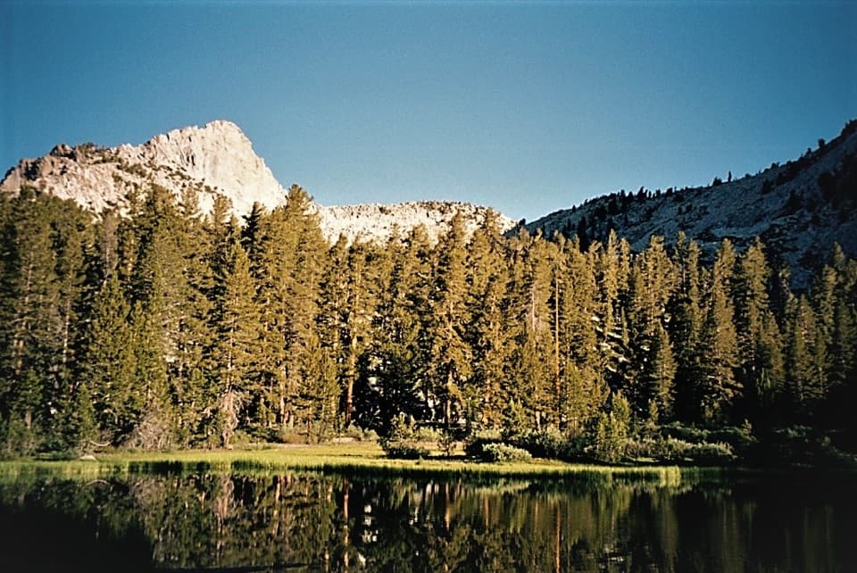 ChallengingGrizzly Lakes via Deer Cove Trail17.5 mi · 12 hr · 2.6 mi awayA steep, all-day climb to lakes beneath Mount Harrington.
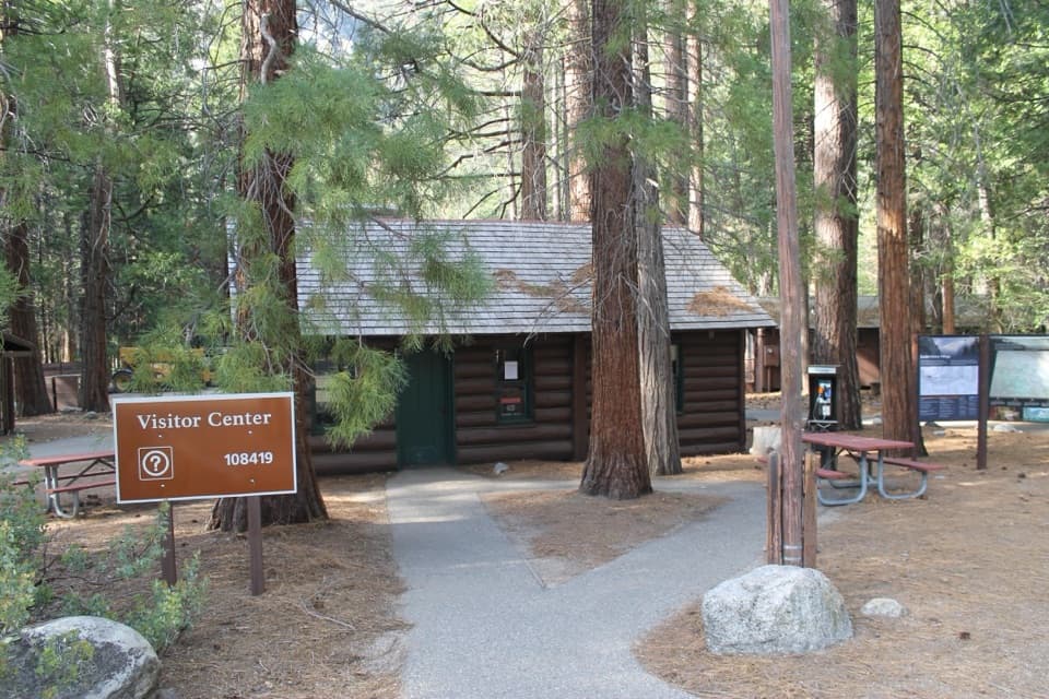 Visitor center · At the trailheadCedar Grove Visitor CenterA handy cabin stop for maps and ranger advice before the canyon.
 Sight · At the trailheadCedar Grove AmphitheaterA forest theater for ranger talks when Cedar Grove's program is on.
 Campground · 0.1 mi awaySentinel CampgroundSleep near the Kings River, with Cedar Grove trails close by.
 Lodging · 0.2 mi awayCedar Grove Lodge and MarketSeasonal rooms, riverside dining and supplies in the canyon
 0.2 mi awayCedar Grove Showers and LaundryA practical wash-up and laundry stop in Cedar Grove.
 Campground · 0.4 mi awayCanyon View Group CampgroundGroup camping beside the South Fork beneath granite canyon walls.
 Sight · 0.4 mi awayCedar Grove Pack StationHorseback rides follow the river through Cedar Grove.
 Campground · 0.5 mi awaySheep Creek CampgroundA shady riverside base in the heart of Cedar Grove.
Parkwolf’s Kings Canyon ranking

The audio tour guide for the drive, plus offline maps, trails, and wildlife heatmaps for when the signal drops.





