Parking
Drive past Cedar Grove Visitor Center and Village, then turn right at the fork for Hotel Creek Trailhead. Highway 180 access to Cedar Grove typically closes in early to mid-November and reopens in late April or early May.

Kings Canyon National Park, CA
Cedar Grove loop with a canyon view and quiet pine stretch.
Overview
Hotel Creek–Lewis Creek Loop is a long circuit above Cedar Grove, with a rocky canyon overlook, an open pine traverse, and a steep descent to Lewis Creek. Plan for about 8 miles and five hours. The mapped line, including the out-and-back to Cedar Grove Overlook, measures about 7.3 miles; distance estimates vary, so use eight miles for planning. The route rises about 1,200 feet to its high point, then rolls through several smaller climbs on the way back. This is a substantial half-day hike, not a quick viewpoint walk.
 Parkwolf’s verdictIs this the hike for you?
Map & elevation
Plan your hike

The highest, rockiest slopes around here are a summer buffet for grizzly bears.
Kings Canyon Tour Guide
Parkwolf is a GPS audio tour guide for Kings Canyon National Park. As you drive, it chimes in with what’s ahead: hidden gems, upcoming stops, history, geology, and wildlife, right through your car’s speakers.
See the Kings Canyon audio tourRecorded for this trailhead
Hotel Creek Trailhead and Cedar Grove Overlook“You're nearing Hotel Creek Trailhead, the start of the climb to Cedar Grove Overlook. Choose it for a rocky perch with views both up and down Kings Canyon, allowing three to four hours for roughly five miles round trip.”
Plays as you drive up to this trailhead in the Parkwolf Kings Canyon Tour Guide.
More stories near here in the app
“…The kids and my husband and I all agree that the narration really added to our experience driving through the parks. We learned so much about the history and the flora & fauna.”


Trail guide
The trail begins in pine woods, then climbs the relatively dry, south-facing canyon slope through sunny chaparral. The switchbacks are steep at first and gradually ease as the route gains the ridge. Start in the morning if you can; this is the most exposed part of the hike. Carry enough water for the outing, since no refill point is verified along the route.
Cedar Grove Overlook is a short side trail to a rocky outcrop with a sweeping view up and down Kings Canyon. The spur adds about 0.8 mile round trip. Look across the canyon for avalanche tracks cut through the pines on the opposite wall. They show up best when you include part of that wall in the frame, rather than filling the photo with the valley alone.
Return to the Hotel Creek Trail and turn left to continue the loop. The hillside eases into a sparse stand of stout ponderosa pines, with gentle ups and downs and views into the pine-dotted Lewis Creek drainage. The connection area burned in a major 1980 fire. From the Lewis Creek junction, the route descends steep switchbacks through chaparral toward the trailhead.
Near the road, look for an unmarked trail on the left. It climbs above the roadway back to Hotel Creek Trailhead, and the final stretch has more uphill than it first appears to. This turn is the loop’s main route-finding trap; have the line ready before you reach it.
To reach the start, drive past Cedar Grove Visitor Center and Village, then turn right at the fork for Hotel Creek Trailhead. Cedar Grove access is seasonal, typically May through early to mid-November, with dates depending on conditions. Pets aren’t allowed on park trails.
Wildlife
 227 sightingsBlack BearMost seen around 7 PMSighting map
 385 sightingsMule DeerMost seen around 7 PMSighting map
 188 sightingsMarmotMost seen around 8 AMSighting map
 118 sightingsPikaMost seen around 7 AMSighting map
 14 sightingsGolden TroutMost seen around 7 PMSighting map
 32 sightingsRainbow TroutMost seen around 7 PMSighting map
Sighting maps show where each species has been reported across Kings Canyon. Wildlife moves, so no sighting is guaranteed.
Keep exploring
 ChallengingCedar Grove Overlook via Hotel Creek Trail4.4 mi · 3.5 hr · At the trailheadA steep 4.4-mile out-and-back to Kings Canyon views
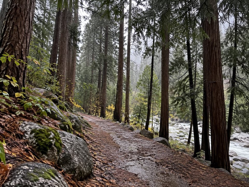 EasyCedar Grove River Road Walk6.6 mi · 2.5 hr · At the trailheadA flat riverside road walk beneath granite cliffs.
 ModerateSheep Creek Cascade Trail2 mi · 1.5 hr · 0.2 mi awayA short climb to small falls in a shady Cedar Grove ravine.
 ChallengingLookout Peak via Don Cecil Trail11 mi · 8 hr · 0.2 mi awayA long historic climb opens over the whole canyon.
 ChallengingLewis Creek Trail to Kennedy Pass19.6 mi · 18 hr · 1.3 mi awayA steep, high-country climb to a broad Sierra pass.
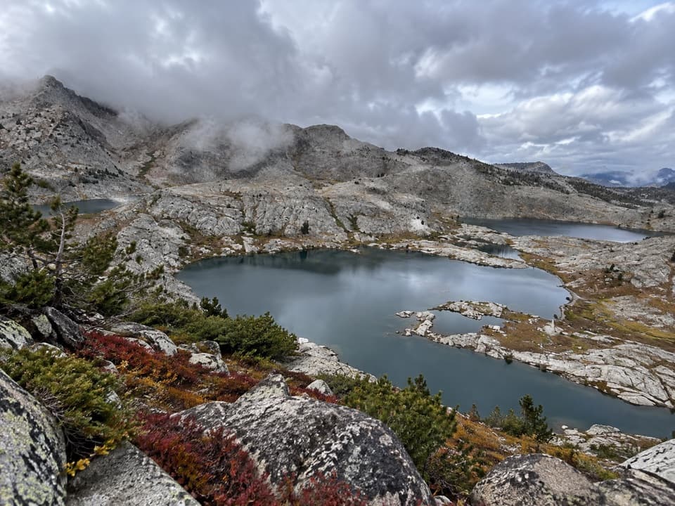 ChallengingVolcanic Lakes Loop37.6 mi · 1.5 days · 1.4 mi awayA chain of granite lakes rewards a long, rough cross-country route.
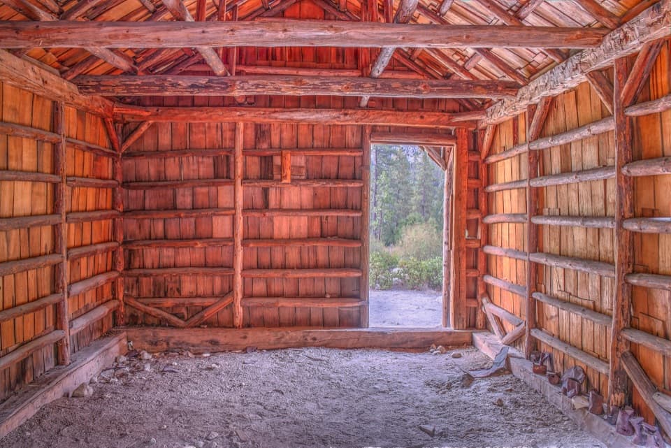 EasyKnapp’s Cabin Trail0.1 mi · 15 min · 1.9 mi awayA tiny cabin stop with a surprisingly big canyon view
 EasyRoaring River Falls Trail0.3 mi · 18 min · 2.7 mi awayA short paved walk ends at a granite-chute waterfall.
 0.2 mi awayCedar Grove Showers and LaundryA practical wash-up and laundry stop in Cedar Grove.
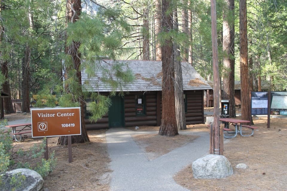 Visitor center · 0.2 mi awayCedar Grove Visitor CenterA handy cabin stop for maps and ranger advice before the canyon.
 Sight · 0.2 mi awayCedar Grove AmphitheaterA forest theater for ranger talks when Cedar Grove's program is on.
 Lodging · 0.3 mi awayCedar Grove Lodge and MarketSeasonal rooms, riverside dining and supplies in the canyon
 Campground · 0.3 mi awaySentinel CampgroundSleep near the Kings River, with Cedar Grove trails close by.
 Sight · 0.3 mi awayCedar Grove Pack StationHorseback rides follow the river through Cedar Grove.
 Campground · 0.5 mi awayCanyon View Group CampgroundGroup camping beside the South Fork beneath granite canyon walls.
 Campground · 0.7 mi awaySheep Creek CampgroundA shady riverside base in the heart of Cedar Grove.
Parkwolf’s Kings Canyon ranking
The audio tour guide for the drive, plus offline maps, trails, and wildlife heatmaps for when the signal drops.




