Parking
Kootenay Crossing on Highway 93 South is the documented start. A dedicated trailhead lot, capacity, and overflow parking were not verified.

Kootenay National Park, BC
A nearly level old fire road reaches Kootenay’s western edge.
Overview
Map & elevation
Plan your hike

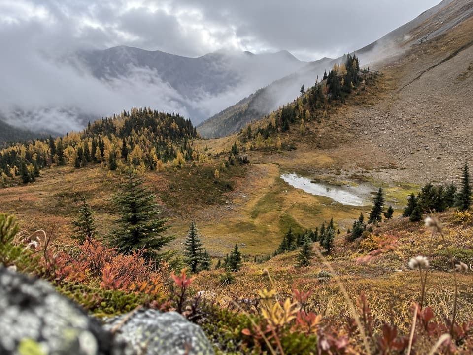
The highest, rockiest slopes around here are a summer buffet for grizzly bears.
Kootenay Tour Guide
Parkwolf is a GPS audio tour guide for Kootenay National Park. As you drive, it chimes in with what’s ahead: hidden gems, upcoming stops, history, geology, and wildlife, right through your car’s speakers.
See the Kootenay audio tourRecorded for this area
From Underground to the Hot Pool“Radium's hot water rises from about two and a half kilometres underground. Before it reaches the bathing pool, it's collected in an underground sump room, then pumped into the pool.”
Plays on the road 1.2 km from the trailhead in the Parkwolf Kootenay Tour Guide.
More stories near here in the app
“Fantastic app with many points of information… It’s great to just turn on while you’re driving and it gives you an audio tour of the national Park. We love it!!!!”


Trail guide
West Kootenay Trail is a long out-and-back from Kootenay Crossing to the park boundary. Following the mapped forest road, it is about 10.1 km each way, or 20.3 km (12.6 mi) round trip; allow about seven hours with stops. The line has roughly 60 m of net climb, so this is a long valley walk rather than a steep ascent. Earlier descriptions give 12.8–13 km one way, which would make the return closer to 25.6 km. Confirm the distance before committing to the full route.
The trail heads northwest from Kootenay Crossing and follows an unpaved forest road to the western park boundary, then returns the same way. On the mapped line, elevation rises from about 1,175 m to a 1,262 m high point before easing down toward 1,235 m at the boundary. The available descriptions do not establish notable crossings, a viewpoint, or a built destination, so plan for a long, low-grade road walk rather than a specific lookout.
Kootenay Crossing on Highway 93 South is the documented start. A dedicated trailhead lot, its capacity, and the route’s current maintenance status could not be verified. The route is absent from current hiking-condition information; that does not establish a closure, so check access with Parks Canada before setting out. There is no cell service in Kootenay National Park; carry offline navigation and enough time for the return. Dogs must stay on leash.
Wildlife
 41 sightingsGrizzly BearMost seen around 8 PMSighting map
 31 sightingsGray WolfMost seen around 8 PMSighting map
 22 sightingsMooseMost seen around 6 AMSighting map
 84 sightingsMountain GoatMost seen around 7 PMSighting map
 522 sightingsBighorn SheepMost seen around 7 AMSighting map
 65 sightingsElkMost seen around 6 AMSighting map
Sighting maps show where each species has been reported across Kootenay. Wildlife moves, so no sighting is guaranteed.
Keep exploring
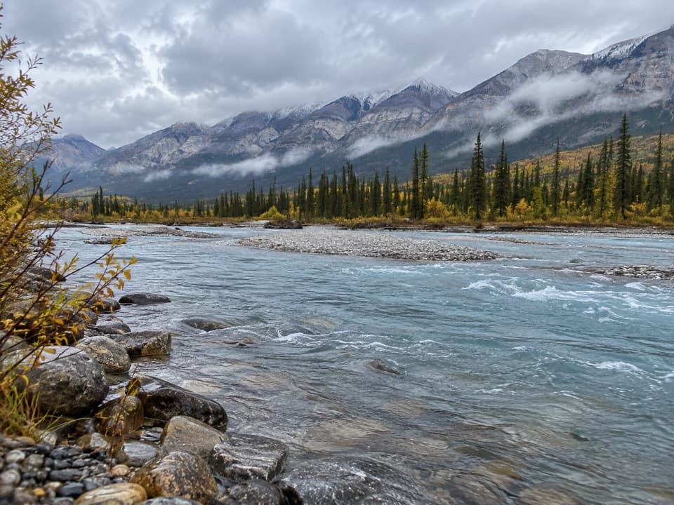 ModerateSimpson River Trail17.6 km · 5.5 hr · 12.7 km awayWildfire recovery on two rivers, with an easy 1.6 km turnaround.
 ModerateDog Lake Loop7 km · 2.5 hr · 15.1 km awayTwo Kootenay River bridges lead through old growth to Dog Lake.
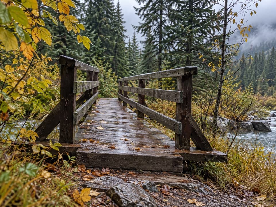 ModerateEast Kootenay Trail14.4 km · 4.5 hr · 15.3 km awayAn easy fire road to Daer Creek with two river bridges.
 ModerateNuma Pass Trail5.5 km · 2.5 hr · 20 km awayA short climb to an open saddle high above Floe Lake.
 ChallengingBall Pass17.8 km · 7 hr · 22 km awayA hard climb to a high pass, glacier views and a meadow
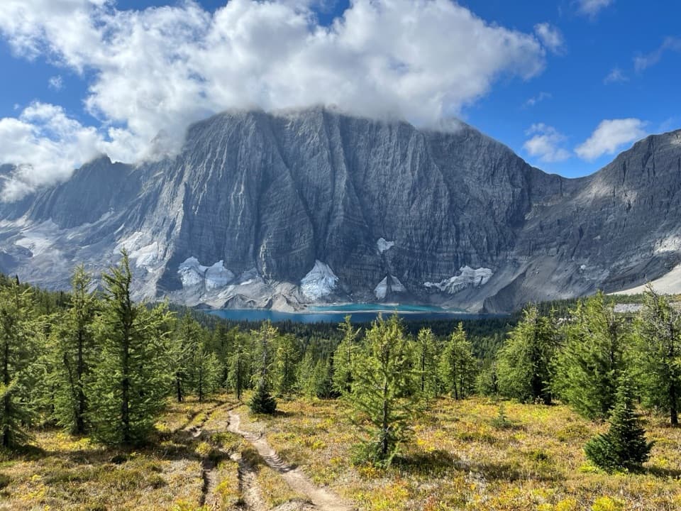 ChallengingFloe Lake21.6 km · 8 hr · 22 km awayA long climb pays off at a turquoise lake under the Rockwall.
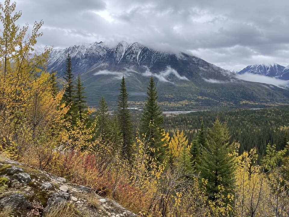 Scenic pullout · 3.4 km awayHector Gorge ViewpointA roadside view over the Kootenay River gorge.
 Picnic area · 6.7 km awayDolly Varden Day-use AreaA picnic stop with a close-up lesson in wildlife crossings.
 Historic marker · 12.2 km awaySir George Simpson MonumentA quick river-view break with a Hudson’s Bay Company story.
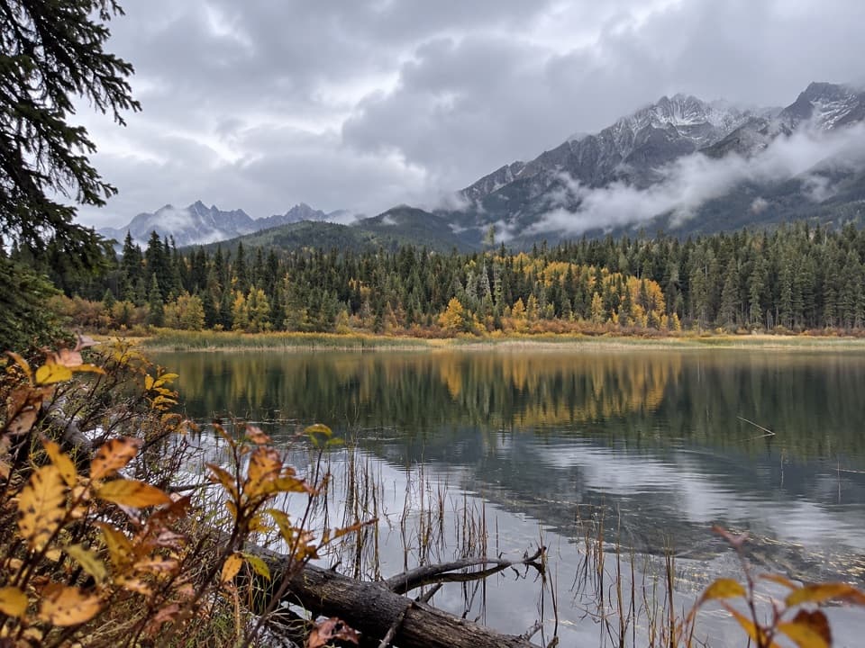 Sight · 14.3 km awayDog LakeTwo river bridges lead through old-growth forest to a mountain lake.
 Campground · 15 km awayMcLeod Meadows CampgroundUnserviced camping beside the Kootenay River.
 Picnic area · 15.2 km awayMcLeod Meadows Day-use AreaA cool, shaded picnic break at the Dog Lake trailhead.
Parkwolf’s Kootenay ranking

The audio tour guide for the drive, plus offline maps, trails, and wildlife heatmaps for when the signal drops.