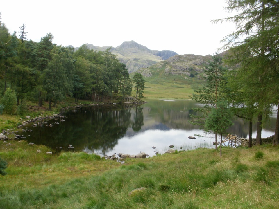
Blea Tarn Trail in Lake District National Park

Lake District National Park, EN

Blea Tarn Trail

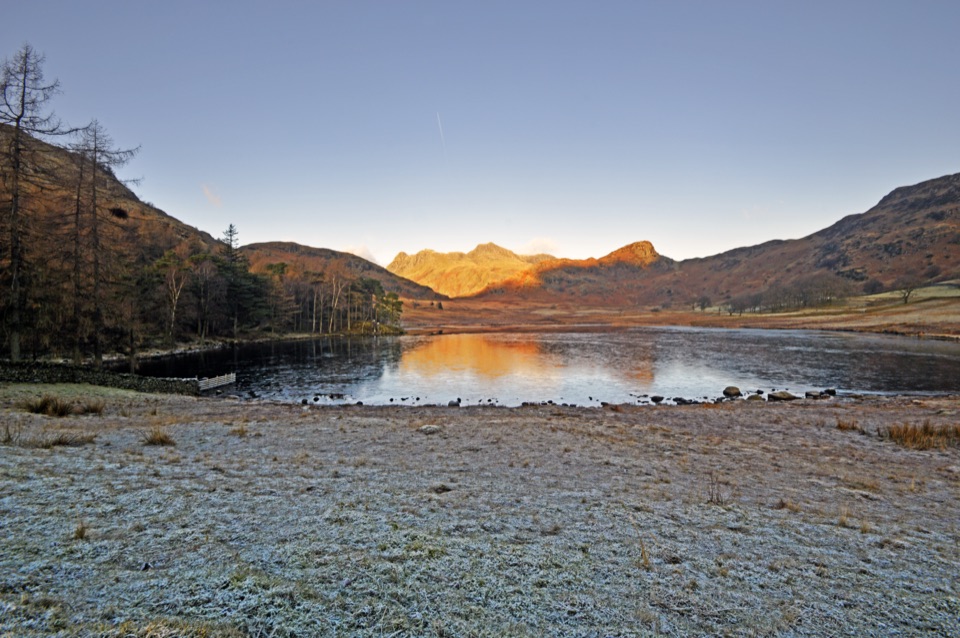
A gentle 1.8-mile there-and-back to a tarn and broad Langdale views

Photo: Wikimedia Commons
Length
2.9km
Time
1.5hr
Elev. change
62m
Difficulty
Easy
  • Dogs allowed
  • High point 250 m
  • #74 of 265 in Lake District

Hear the audio tour

Blea Tarn: Shore Walk or Side Pike

Overview

About Blea Tarn Trail

Why go

  • Broad Langdale views without a major climb
  • Mostly level compacted path with benches

Heads up

  • Road crossings at the car park and viewpoint
  • Can be wet or muddy despite the easy profile

Map & elevation

The route

Loading the Lake District map
Full map
Elevation188–250 m
TrailheadBlea Tarn National Trust car park54.42947, -3.08747
Keep this map with you offline in the Parkwolf app

Plan your hike

Before you go

Parking

Use Blea Tarn National Trust car park at grid reference NY295043. From the A593, follow the signed turn for Wrynose, Elterwater and the Langdales, then take the Blea Tarn road after Little Langdale Tarn. The trail begins across the road through the gate opposite the car park. Pay and display; free to National Trust members.


Best time to go

The signature photograph is the tarn with the Langdale Pikes behind it, so clear early or late light is worth aiming for if you have the flexibility. The wooded middle section is a good place to slow down and use the benches, which are dotted along the route.

Safety

Cross the road at the car park and near the Great Langdale viewpoint, watching for traffic. The compacted path can be wet or muddy, and boots are needed in bad weather. Keep dogs on leads around grazing livestock.

8 active Lake District alerts

  • ClosureChapel Stile footpath closed for retaining-wall riskPart of Footpath 543030 between Chapel Stile and Baysbrown campsite is closed because a retaining wall beside the path could collapse and material it supports could fall across the footpath.Official details
  • ClosureStanley Ghyll Lower Falls footpath closed for rockfallThe section of Footpath 408037 leading towards Stanley Ghyll Lower Falls is closed because severe rockfall damage has made the path unstable and further rockfall remains a danger.Official details
See all 8 alerts
A park ranger sits on a dash-mounted phone, talking, as Parkwolf’s Tour Guide plays “Army Cutworm Moths: A Grizzly Bear Buffet” on Grand Loop Road below Dunraven Pass in Yellowstone
Parkwolf Tour GuideThe highest, rockiest slopes around here are a summer buffet for grizzly bears.

Lake District Tour Guide

Your drive to Blea Tarn Trail, narrated.

Parkwolf is a GPS audio tour guide for Lake District National Park. As you drive, it chimes in with what’s ahead: hidden gems, upcoming stops, history, geology, and wildlife, right through your car’s speakers.

Recorded for this trailhead

Blea Tarn: Shore Walk or Side Pike
0:00 / 1:14
“You're drawing near Blea Tarn, where a short walk puts a small mountain lake between you and the jagged Langdale Pikes. This is my pick for enjoying those mountains when you fancy a modest walk with plenty to look at.”

Plays as you drive up to this trailhead in the Parkwolf Lake District Tour Guide.

More stories near here in the app

  • Great Langdale: Crinkle Crags and Bowfell
  • Langdale Pikes and Stickle Tarn
  • Wrynose Pass: Two Summit Loops
  • Mickleden: Mountains from the Valley Floor
  • 298 audio storiesacross Lake District’s roads, triggered by GPS as you drive
  • Wildlife heatmapsfor Red Deer, Eurasian Otter, Osprey, and 13 more
  • Works offlinemaps, 265 trails, 89 places, and audio download before you lose signal
  • CarPlay readysimple controls built for the drive
★★★★★
“Fantastic app with many points of information… It’s great to just turn on while you’re driving and it gives you an audio tour of the national Park. We love it!!!!”
JMJamesApp Store review
Download Parkwolf on the App StoreGet Parkwolf on Google Play

4.7 from 8,600+ ratings

Trail guide

Hiking Blea Tarn Trail

The basicsThis is a 1.8-mile (2.

This is a 1.8-mile (2.88 km) total round trip, out and back on the same path, and it takes most people one to two hours with about an hour and a half being a fair guess. It is rated easy, and that rating holds up: short, mostly level compacted stone with gentle gradients and one modest rise at the end. The pay-and-display car park is free to National Trust members.

The route, in orderRetrace the same path past the tarn on the way back.

Retrace the same path past the tarn on the way back. Returning by the road is possible but not the recommended option, and it is the less pleasant way to finish.

  • Cross the road from the car park and go through the gate
  • Follow the compacted stone path steadily down toward Blea Tarn and through a second gate
  • Drop to the tarn outflow and cross the footbridge
  • Continue through a wooded stretch with benches
  • Leave the wood by a gate and climb gently on the main path to the open-fell viewpoint over Great Langdale
Footing and the roadDespite the easy profile, sections can be wet or muddy, which does affect footing, and boots…

Despite the easy profile, sections can be wet or muddy, which does affect footing, and boots are needed in bad weather. The other bit of friction is traffic: you cross the road right at the start, and there is road nearby at the viewpoint end too, so keep children and dogs close at both points.

What you are looking atThe tarn itself sits in a hollow with crags around it, and the viewpoint opens onto Great…

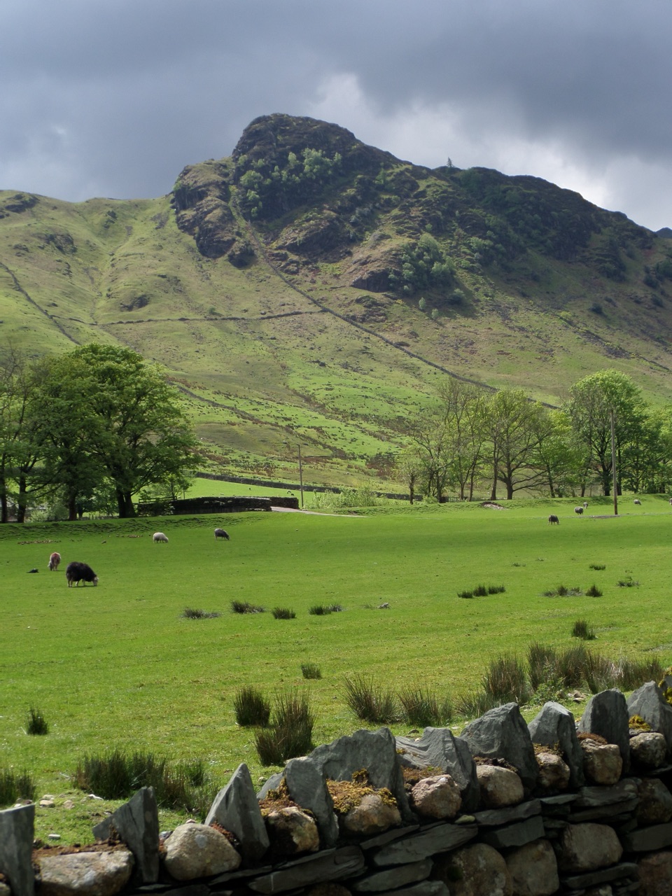
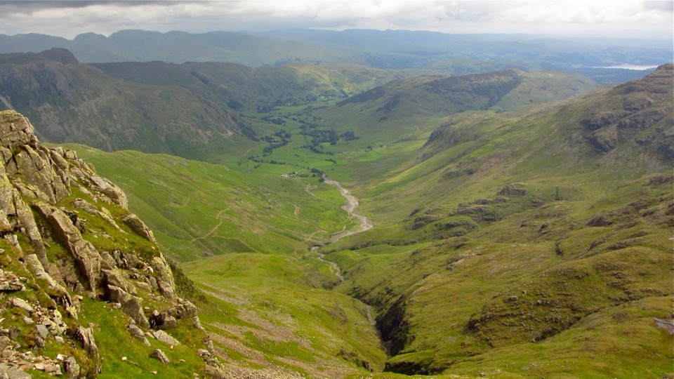
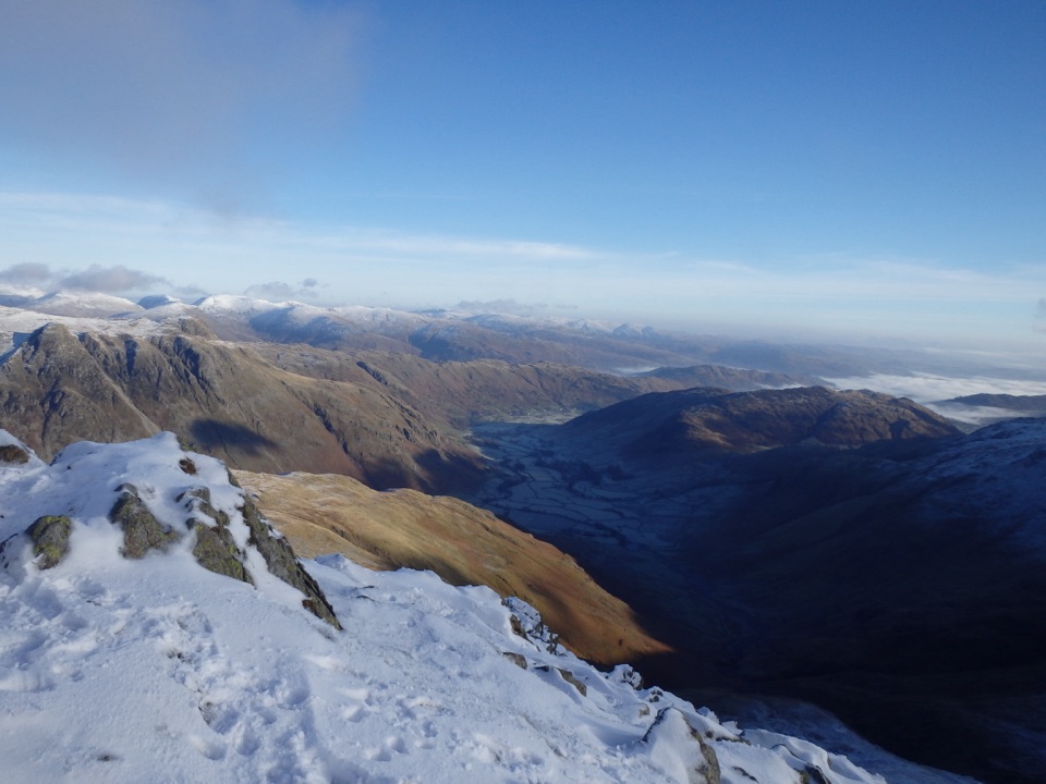
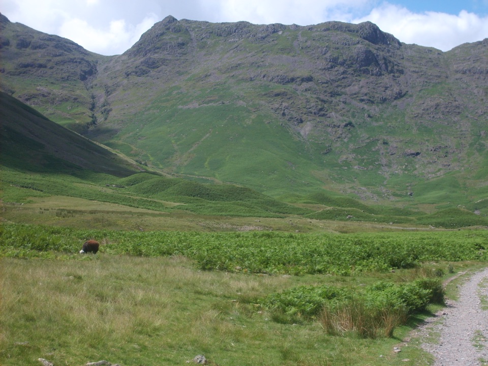
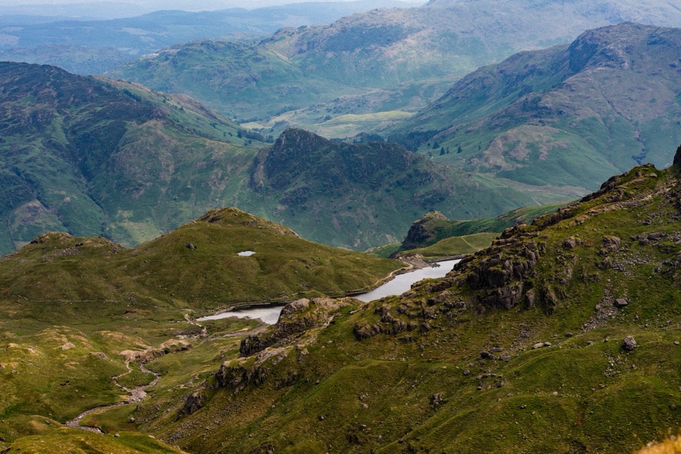
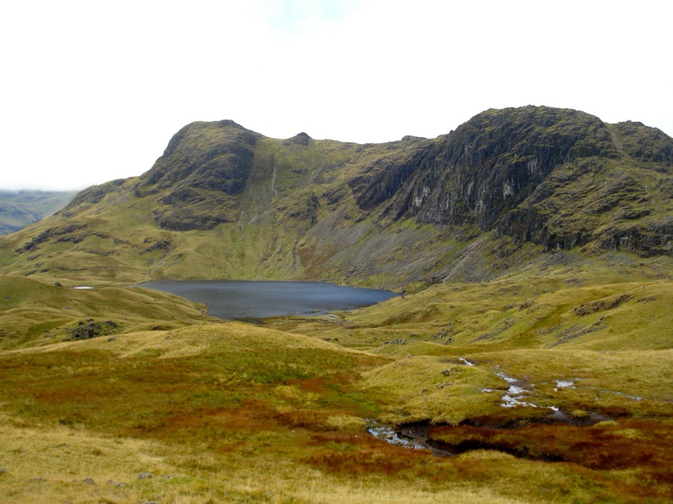
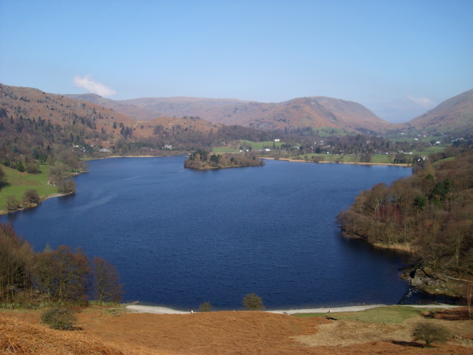
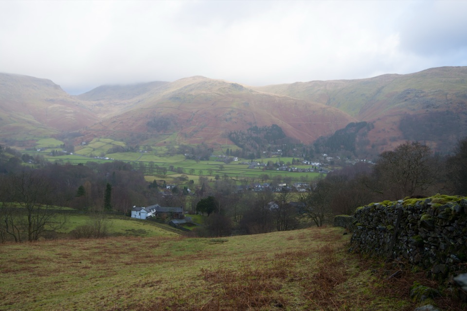
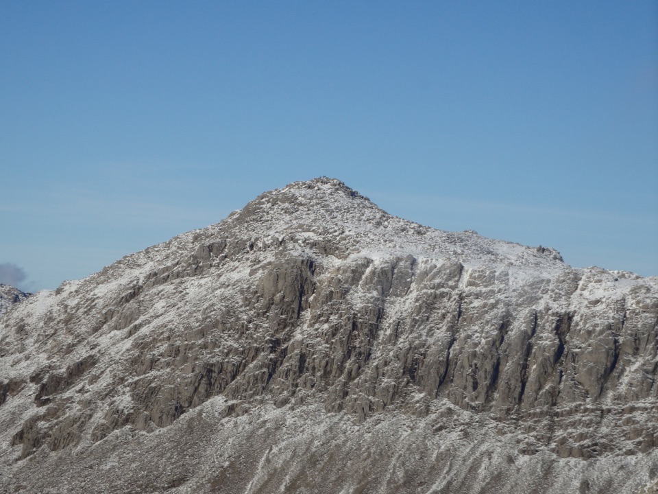
The tarn itself sits in a hollow with crags around it, and the viewpoint opens onto Great Langdale with the Langdale Pikes as the headline shape. Depending on where you stand along the way you also pick up Lingmoor Fell, Pike of Blisco, Little Langdale, Wetherlam and the Furness Fells. Blea Tarn holds SSSI status, and its sediment has not been disturbed since the last Ice Age, which is why the water and its bed matter to scientists as well as to walkers. The shores are noted for alpine flowers in spring and summer.

Access and dogsThe surface is mostly level compacted stone and is described as suitable for all abilities and…

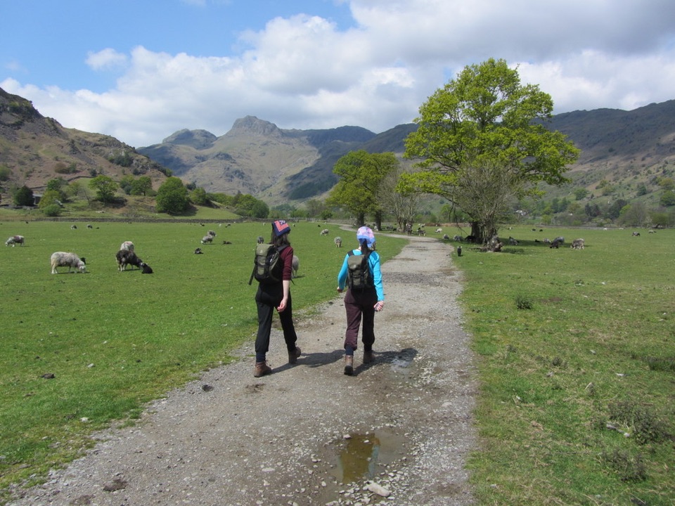
The surface is mostly level compacted stone and is described as suitable for all abilities and all-terrain mobility scooters, with the caveats that you have to cross the road and that wet or muddy patches can appear. Dogs are welcome on leads, and that rule matters here: much of the route is grazed by livestock.

Is it enough of a walk?If you want a hard day, the bigger fells around Langdale will give you one, and they are a…

If you want a hard day, the bigger fells around Langdale will give you one, and they are a different proposition entirely. The tradeoff with this route is straightforward: it offers broad views without a major climb, so it works when you have an hour or two, mixed abilities in the group, or simply want the tarn and the Langdale outlook without committing to a full mountain day.

Wildlife

Wildlife in Lake District

All Lake District wildlife maps

Sighting maps show where each species has been reported across Lake District. Wildlife moves, so no sighting is guaranteed.

Keep exploring

Near Blea Tarn Trail

See it all on the map

Trails that start nearby

Places near the trailhead

Parkwolf’s Lake District ranking

Top-rated trails in Lake District

All 265 trails
  1. 1Scafell Pike via Hollow Stones from WasdaleChallenging · 9 km
  2. 2Helvellyn via Striding Edge and Swirral EdgeChallenging · 12.4 km
  3. 3CatbellsModerate · 6.6 km
  4. 4The Old Man of ConistonChallenging · 9 km
  5. 5Buttermere CircularEasy · 7.6 km
  6. 6The Fairfield HorseshoeChallenging · 17.2 km

Take Parkwolf to Lake District.

The audio tour guide for the drive, plus offline maps, trails, and wildlife heatmaps for when the signal drops.

4.7 from 8,600+ ratings

Download Parkwolf on the App StoreGet Parkwolf on Google Play