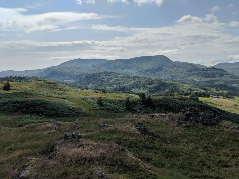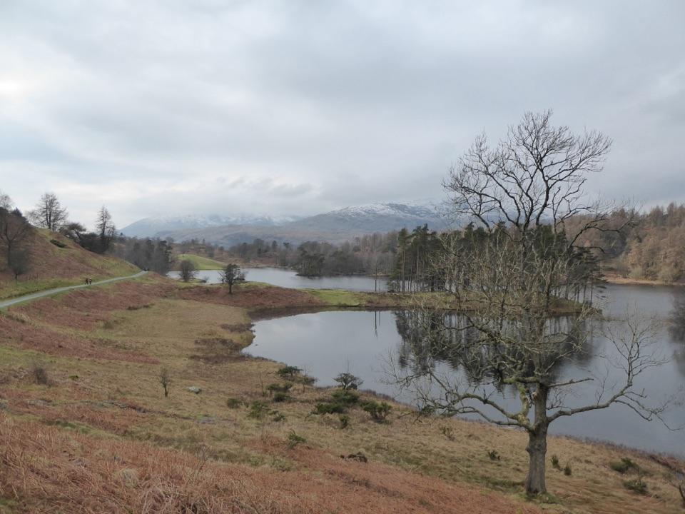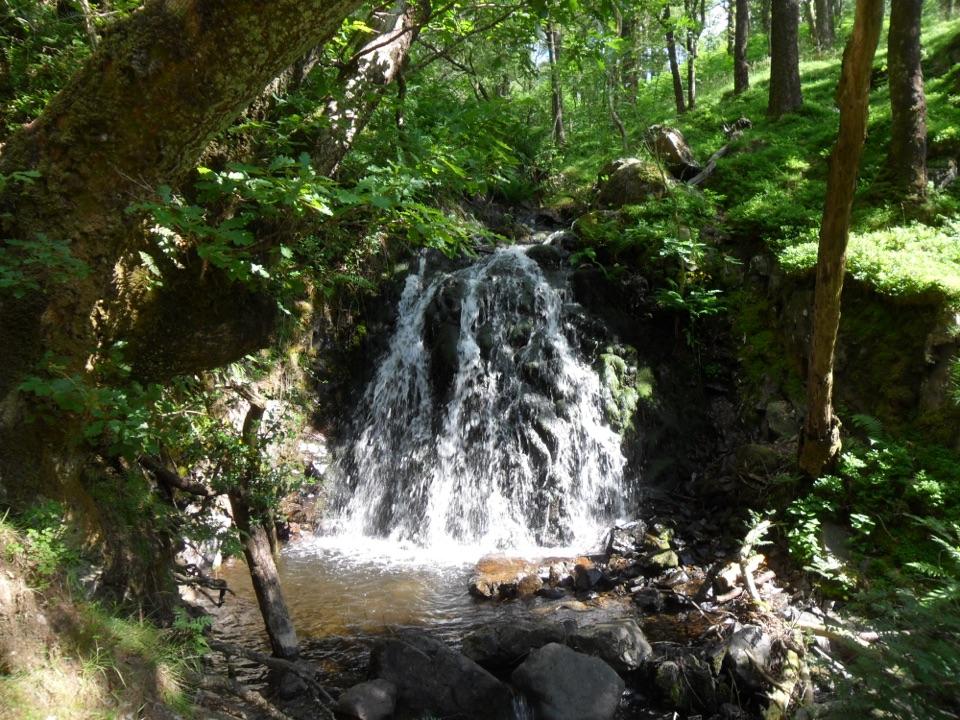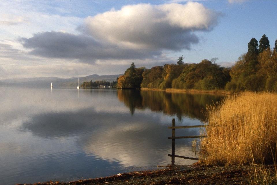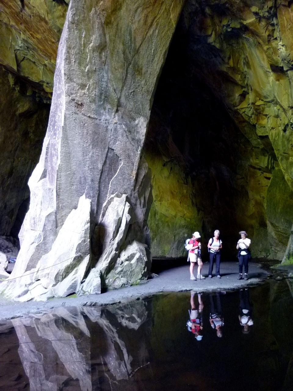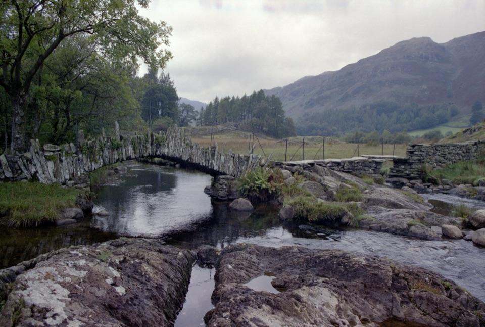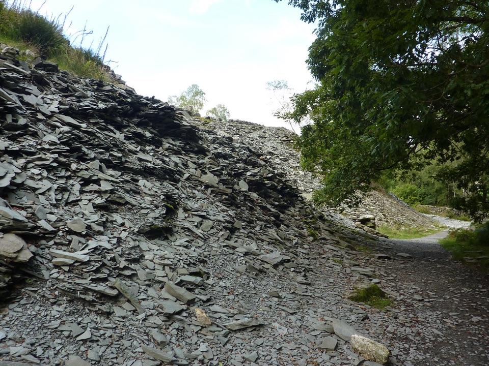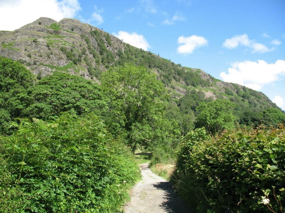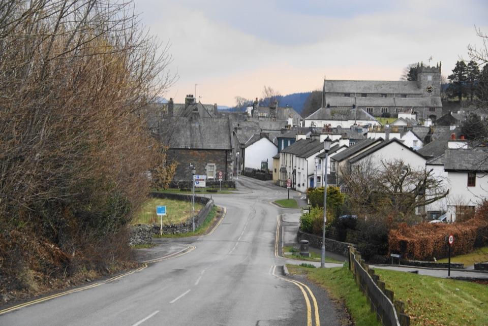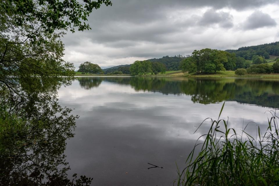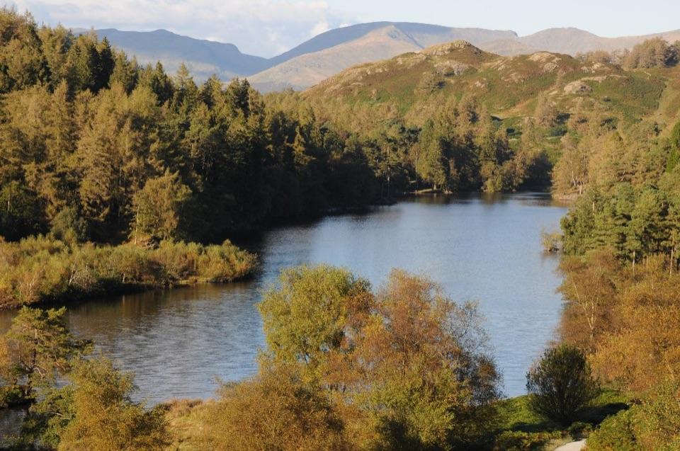
Tarn Hows in Lake District National Park

#8 of 81 sights in Lake District

Sight · Lake District National Park

Tarn Hows

A wooded mountain tarn with an easy loop and fell views

Photo: Philip Halling, CC BY-SA 2.0

Type
Sight
Nearest trail
Right here
Audio stories
8 nearby
  • Parking
  • Restrooms
  • Scenic viewpoint

Hear the audio tour

Tarn Hows: Water, Woodland and Fell Views
Download Parkwolf on the App StoreGet Parkwolf on Google Play

4.7 from 8,600+ ratings

Overview

About Tarn Hows

Why stop

  • Strong reflections and changing fell views around the water

Heads up

  • Busy periods can take the edge off the quiet, reflective setting
Tarn Hows is a designed Victorian landscape, not an untouched high-mountain tarn. In the 1860s, James Garth Marshall dammed a beck and joined three smaller natural tarns. The result is a beautifully composed stretch of water with wooded islands, open fell, and the Coniston hills rising behind it.
Parkwolf’s verdictWhy stop

Map

Where it is

Loading the Lake District map
Full map
SightTarn Hows54.38659, -3.03869
Keep this map with you offline in the Parkwolf app

Plan your stop

Before you go

Best time to visit

Early morning is the best bet for still water, clean reflections, and a quieter circuit. Late afternoon can bring warmer light across the fells. Autumn adds colour around the shore, while low cloud and rain make the scene moodier but can erase the distant views. Peak daytime periods are the least peaceful and can make the narrow approach road feel awkward, so arriving outside the busiest part of the day improves the visit.


8 active Lake District alerts

  • ClosureAnglers’ Crag path closes intermittently for repairsFootpath 407024 and the adjoining unrecorded way over Anglers’ Crag on Ennerdale Water’s southern shore close intermittently for repairs; follow signs to check whether the path is open.Official details
  • ClosureWhinlatter paths close intermittently for forestry workSections of Bridleway 201006 in Thornthwaite Forest and Footpath 201044 at Beckstones Gill close intermittently for forestry thinning; follow signs, as the paths are open when closures are not in…Official details
See all 8 alerts
A park ranger sits on a dash-mounted phone, talking, as Parkwolf’s Tour Guide plays “Army Cutworm Moths: A Grizzly Bear Buffet” on Grand Loop Road below Dunraven Pass in Yellowstone
Parkwolf Tour GuideThe highest, rockiest slopes around here are a summer buffet for grizzly bears.

Lake District Tour Guide

Your drive to Tarn Hows, narrated.

Parkwolf is a GPS audio tour guide for Lake District National Park. As you drive, it chimes in with what’s ahead: hidden gems, upcoming stops, history, geology, and wildlife, right through your car’s speakers.

See the Lake District audio tour

Recorded for this place

Tarn Hows: Water, Woodland and Fell Views
0:00 / 0:33
“Up ahead is Tarn Hows, where wooded islands and the Coniston hills make a rewarding lakeside walk. This apparently natural scene was shaped in the eighteen-sixties, when a dam joined three smaller tarns.”

Plays as you drive up to Tarn Hows in the Parkwolf Lake District Tour Guide.

More stories near here in the app

  • Tom Gill: Waterfalls from Glen Mary Bridge
  • Monk Coniston: Village and Lakeside Walk
  • Tilberthwaite: Cathedral Cavern
  • Elterwater: Slippers for the Horses
  • 298 audio storiesacross Lake District’s roads, triggered by GPS as you drive
  • Wildlife heatmapsfor Red Deer, Eurasian Otter, Osprey, and 13 more
  • Works offlinemaps, 265 trails, 90 places, and audio download before you lose signal
  • CarPlay readysimple controls built for the drive
★★★★★
“Fantastic app with many points of information… It’s great to just turn on while you’re driving and it gives you an audio tour of the national Park. We love it!!!!”
JMJamesApp Store review
Download Parkwolf on the App StoreGet Parkwolf on Google Play

4.7 from 8,600+ ratings

Guide

More about Tarn Hows

What to expectThe main National Trust car park is the practical place to navigate to.

The main National Trust car park is the practical place to navigate to. From there, the circular route around the tarn is roughly 1¾ miles on mostly smooth gravel paths with climbs and descents, including some short steep sections. The National Trust describes the main path as suitable for wheelchairs and pushchairs; Tramper all-terrain mobility scooters can be booked to borrow. Stay on the main surfaced path rather than taking the optional higher viewpoint path if you need that surface.

You can see the best of the water quickly from the viewpoint, or take the full loop for changing angles through woodland and open ground. This is a scenic walk rather than a strenuous hike. If you want a longer outing, paths continue towards Coniston and the surrounding fells.

Wildlife and landscapeThe tarn supports a varied mix of aquatic and woodland habitat.

The tarn supports a varied mix of aquatic and woodland habitat. Belted Galloway cattle and Herdwick sheep graze by the tarn. Keep dogs on leads around the livestock. Red squirrels, otters and hares live in the wider Monk Coniston landscape, though sightings are never guaranteed.

Practical visitThe car park has toilets, including an accessible toilet, and the viewpoint and loop are close…

The car park has toilets, including an accessible toilet, and the viewpoint and loop are close by. Bring water, a snack, and a waterproof layer rather than relying on seasonal food vans. Wear shoes with decent grip: the route is easy by Lake District standards, but wet gravel and weather can still slow you down.

The separate short-stay viewing car park gives a view over the tarn if you cannot fit in the circuit.

This is a good family-friendly walk rather than a rugged fell outing. Popular times bring company, but the loop is worth the extra time if you can manage it.

Why stopIt is one of the Lake District's most rewarding easy stops.

It is one of the Lake District's most rewarding easy stops. You get a proper landscape walk and good views without committing to a summit day, and the water changes character constantly with cloud, wind, season, and reflections.

Wildlife

Wildlife in Lake District

All Lake District wildlife maps

Sighting maps show where each species has been reported across Lake District. Wildlife moves, so no sighting is guaranteed.

Keep exploring

Near Tarn Hows

See it all on the map

Trails nearby

More stops nearby

Parkwolf’s Lake District ranking

Top sights in Lake District

All 90 places
  1. 1WindermereSight
  2. 2Scafell PikeSight
  3. 3UllswaterSight
  4. 4DerwentwaterSight
  5. 5Wast WaterSight
  6. 6Aira ForceSight

Take Parkwolf to Lake District.

The audio tour guide for the drive, plus offline maps, trails, and wildlife heatmaps for when the signal drops.

4.7 from 8,600+ ratings

Download Parkwolf on the App StoreGet Parkwolf on Google Play