Parking
Use the small informal pull-ins around the Three Shires Stone at NY277028 on the top of Wrynose Pass. Spaces are very limited. Park without blocking the pass, gates, or access for other vehicles, then start beside the stone.
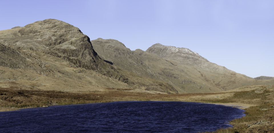
Lake District National Park, EN
A rugged two-summit loop with Red Tarn and broad fell views
Overview
Red Tarn sits in a striking basin between the two summits, with reddish rock around its shallow water. Pike of Blisco gives the bigger panorama across Great Langdale and the surrounding fells, while Cold Pike feels quieter and more rugged. The route is a good niche choice for walkers who want two summits without committing to the longer Crinkle Crags or Bowfell circuits.
 Parkwolf’s verdictThe payoff
Map & elevation
Plan your hike

The highest, rockiest slopes around here are a summer buffet for grizzly bears.
Lake District Tour Guide
Parkwolf is a GPS audio tour guide for Lake District National Park. As you drive, it chimes in with what’s ahead: hidden gems, upcoming stops, history, geology, and wildlife, right through your car’s speakers.
Recorded for this trailhead
Wrynose Pass: Two Summit Loops“You're nearing the top of Wrynose Pass, where two summit loops give you a choice of rugged fell walks straight from the road.”
Plays as you drive up to this trailhead in the Parkwolf Lake District Tour Guide.
More stories near here in the app
“Fantastic app with many points of information… It’s great to just turn on while you’re driving and it gives you an audio tour of the national Park. We love it!!!!”


Trail guide
This is a 4.0-mile loop from the Three Shires Stone at Wrynose Pass. The distance is the complete circuit, including the short out-and-back detour to Pike of Blisco's summit. From the pass, the route crosses rough open fell to Cold Pike, drops toward Red Tarn, climbs Pike of Blisco, then retraces the summit spur and returns above the tarn to close the loop.
The mileage is short, but this is a proper high-level fell walk with about 486 metres of ascent. Expect boulder-strewn and grassy ground, boggy patches, several small streams, and stretches where the path is faint. The final climb to Pike of Blisco uses rough rock ramps, while the Cold Pike section is the least obvious to follow. There is little shade and the whole route is exposed to wind, rain, and mist.
Wildlife
 81 sightingsRed DeerMost seen around 7 PMSighting map
 13 sightingsEurasian OtterMost seen around 6 AMSighting map
 76 sightingsOspreyMost seen around 8 AMSighting map
 51 sightingsEuropean BadgerMost seen around 8 PMSighting map
 233 sightingsMute SwanMost seen around 6 PMSighting map
 176 sightingsGrey HeronMost seen around 7 AMSighting map
Sighting maps show where each species has been reported across Lake District. Wildlife moves, so no sighting is guaranteed.
Keep exploring
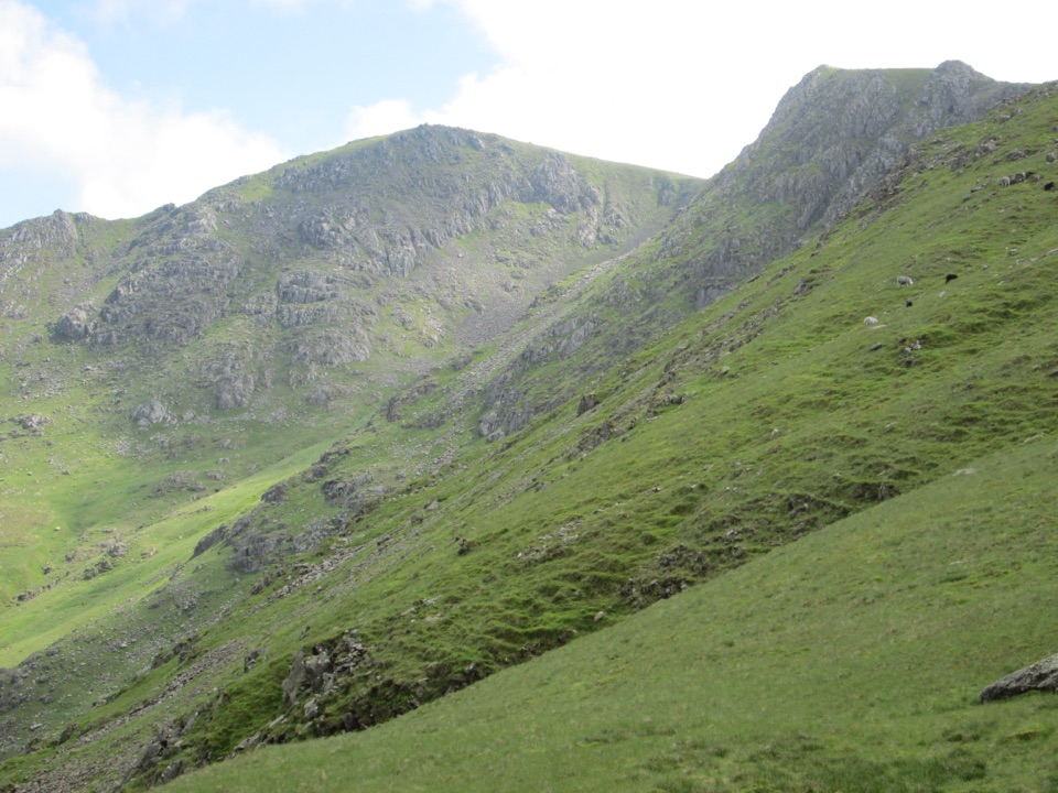 ChallengingGreat Carrs and Grey Friar7.6 km · 4 hr · 0.1 km awayA rugged two-summit outing with a dramatic ridge and bomber memorial
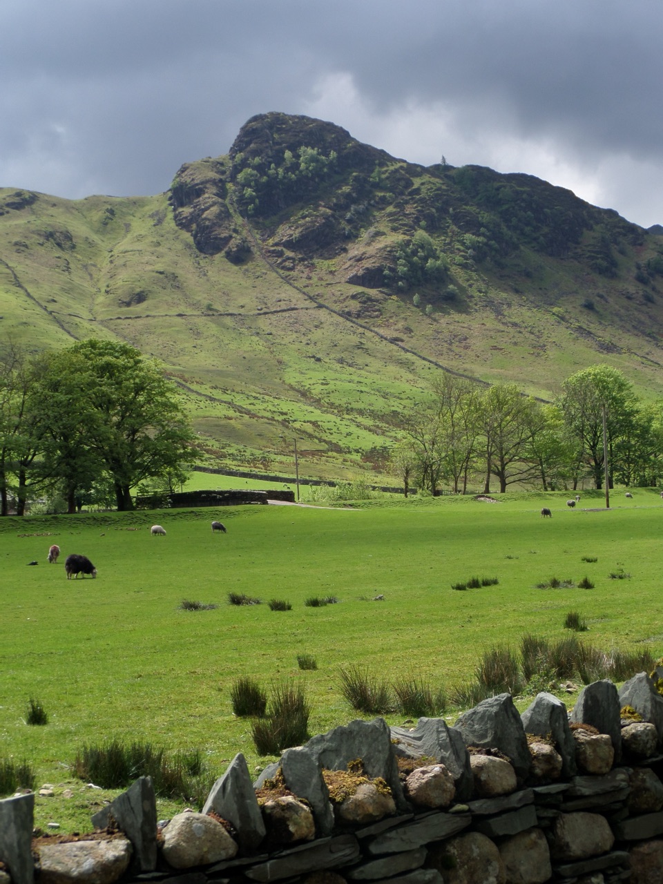 ModerateLingmoor Fell and Side Pike6.9 km · 3 hr · 2.4 km awayA compact fell loop with the Langdale Pikes and a squeeze
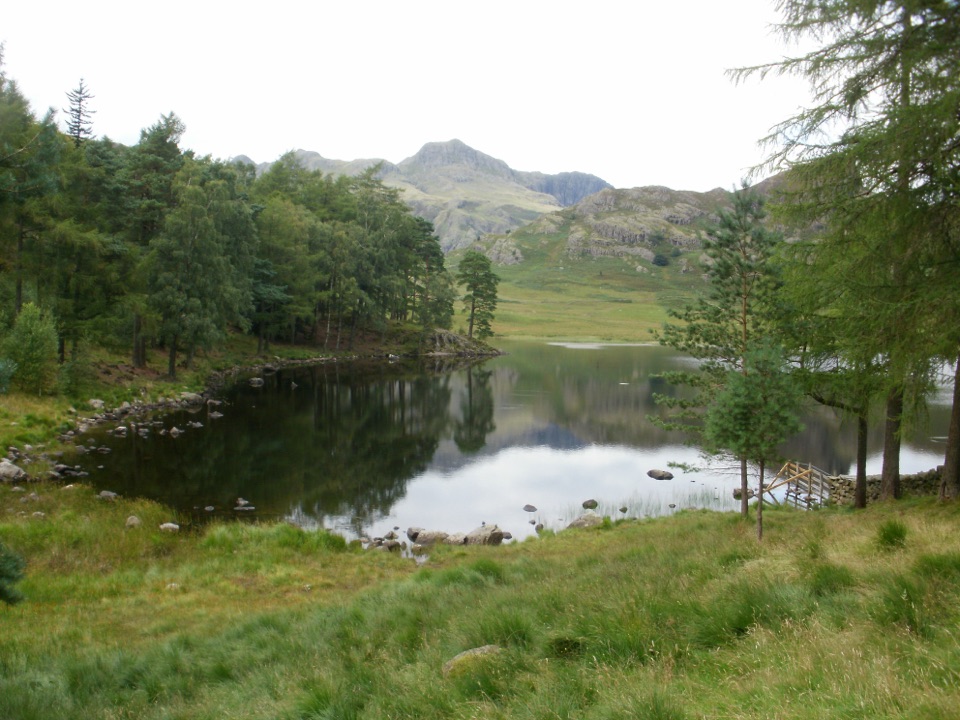 EasyBlea Tarn Trail2.9 km · 1.5 hr · 2.4 km awayA gentle 1.8-mile there-and-back to a tarn and broad Langdale views
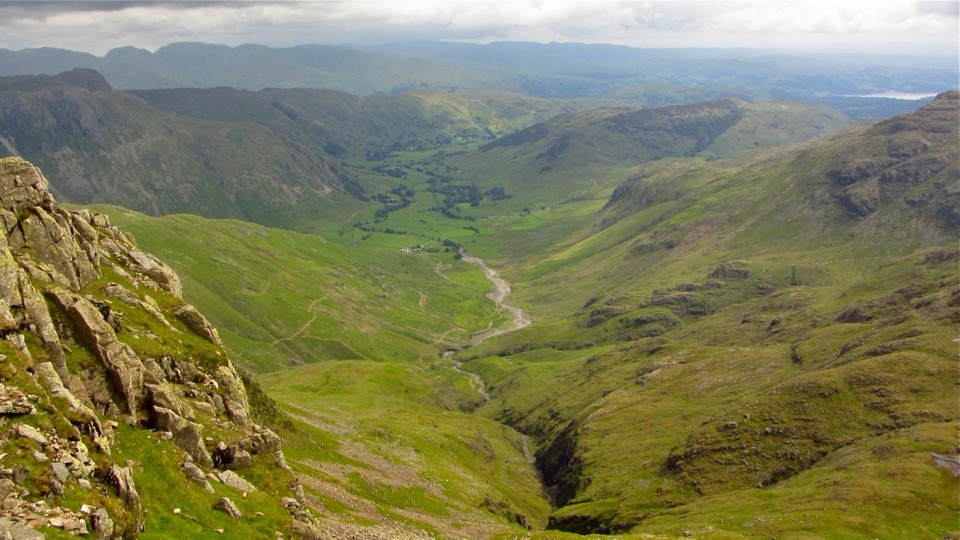 ChallengingGreat Langdale Round19.6 km · 6.3 hr · 3.3 km awayFive rocky summits, two tarns and a scramble above a glacial valley
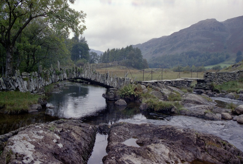 EasyHigh Tilberthwaite to Little Langdale Ford and Slater Bridge5.9 km · 2 hr · 3.4 km awayAn old quarry track to a river ford and historic Slater Bridge
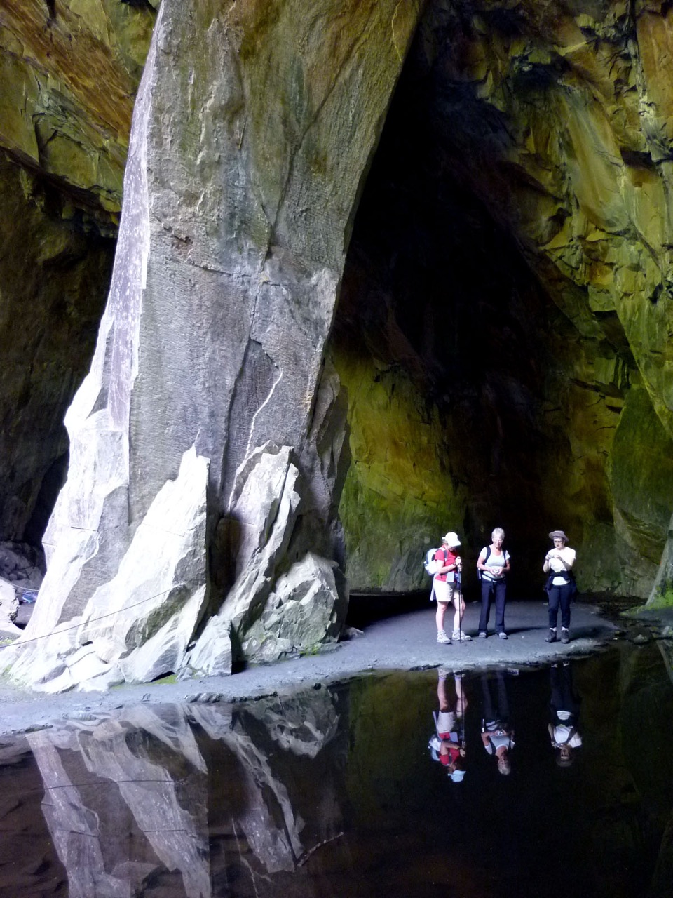 ModerateCathedral Cavern from Tilberthwaite6.1 km · 3 hr · 3.4 km awaySlate tunnels, a 40ft quarry chamber, and Slater's Bridge on one loop
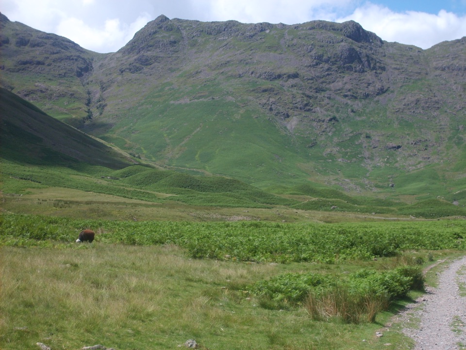 ChallengingRossett Pike, Angle Tarn, Esk Pike and Bowfell16.3 km · 6.5 hr · 3.4 km awayA full-day circuit of summits, tarns, boulders, and huge valley views
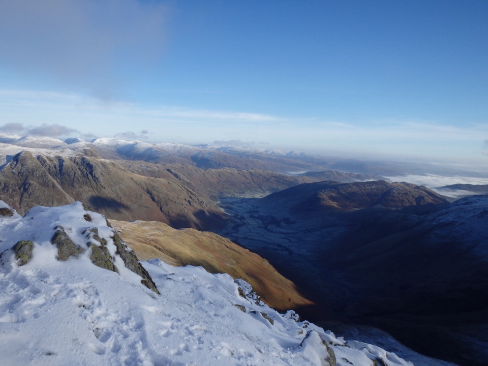 ChallengingCrinkle Crags12.7 km · 5.5 hr · 3.4 km awayA rugged five-crinkle ridge walk above Great Langdale
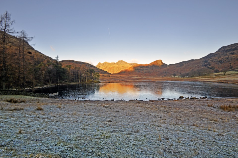 Sight · 2.3 km awayBlea TarnA still mountain tarn framed by the Langdale Pikes
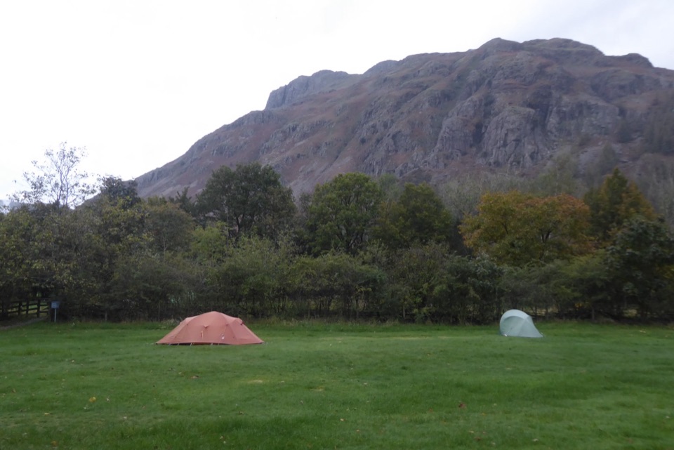 Campground · 3.2 km awayGreat Langdale CampsiteA mountain-framed base for walks and a proper digital detox
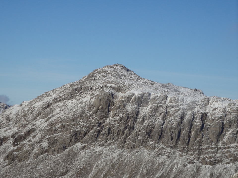 Sight · 4.9 km awayBowfellA rocky summit above Langdale, with the Scafells spread beyond
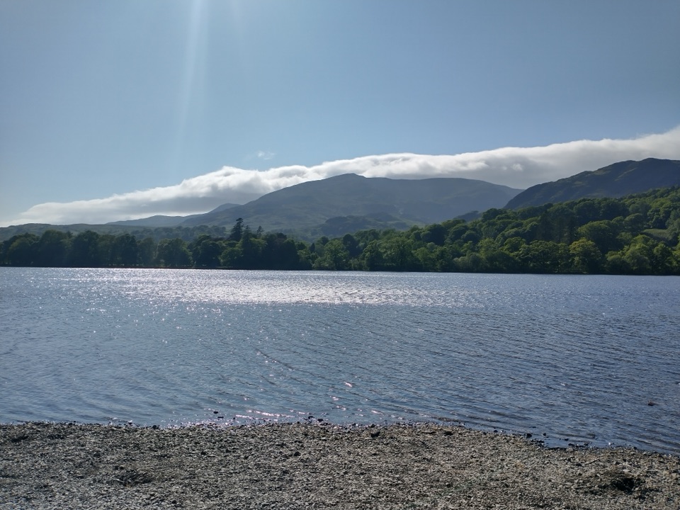 Sight · 5 km awayOld Man of ConistonA slate-scarred summit with wide views over the southern Lakes
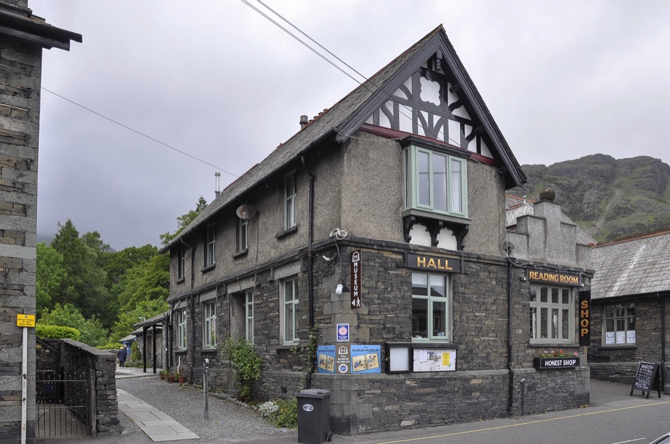 Sight · 5.6 km awayThe Ruskin MuseumBluebird K7 anchors a rich story of Coniston, copper, and culture
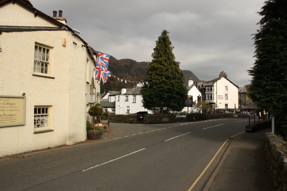 Sight · 5.8 km awayConiston VillageA characterful village base beneath the Old Man of Coniston
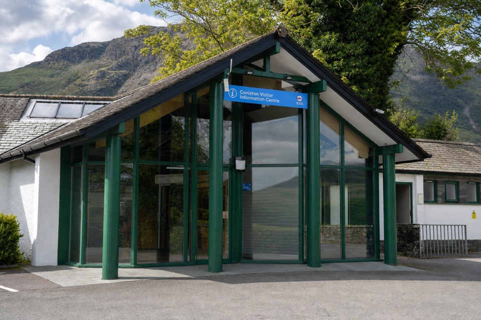 Visitor center · 5.8 km awayConiston Information CentreA practical base for maps, walks, and local Coniston advice
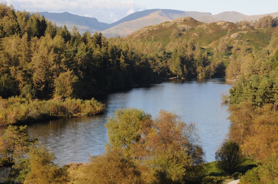 Sight · 5.9 km awayTarn HowsA wooded mountain tarn with an easy loop and fell views
Parkwolf’s Lake District ranking
The audio tour guide for the drive, plus offline maps, trails, and wildlife heatmaps for when the signal drops.





