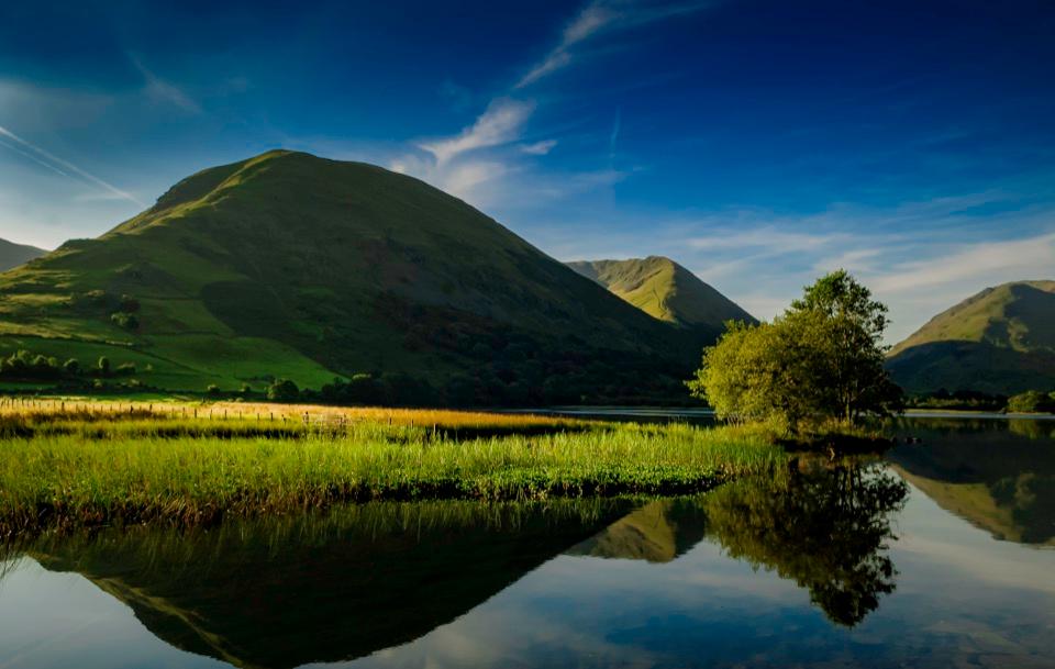
Brothers Water in Lake District National Park

Sight · Lake District National Park

Brothers Water

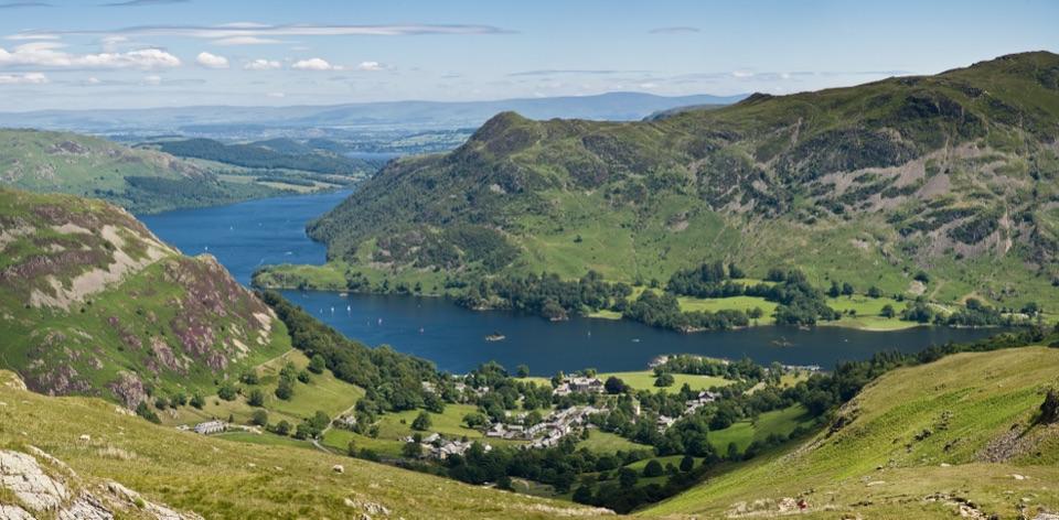
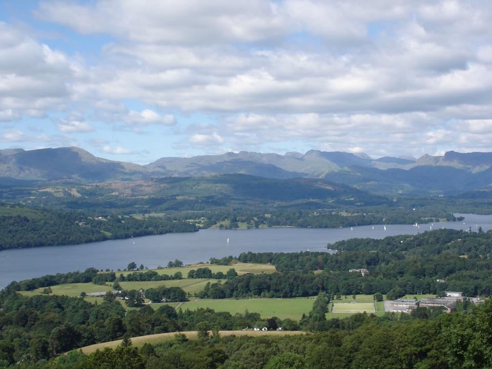
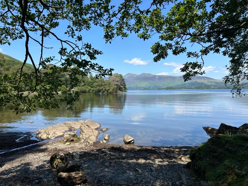
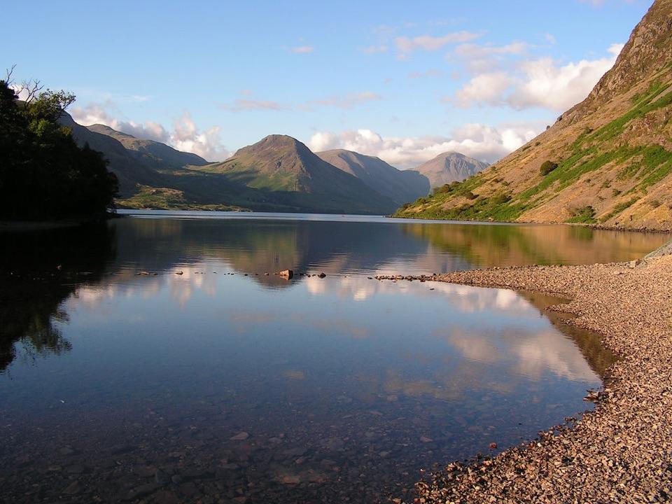
A reed-fringed lake with big fell reflections and an easy shore walk

Photo: Michael Walsh, CC BY 3.0

Type
Sight
Nearest trail
0.5 km
Audio stories
2 nearby
  • Scenic viewpoint
  • Parking

Hear the audio tour

Brothers Water: Woodland and Shore
Download Parkwolf on the App StoreGet Parkwolf on Google Play

4.7 from 8,600+ ratings

Overview

About Brothers Water

Why stop

  • A gentle wooded shore walk beneath the fells

Heads up

  • The A592 is close to the access end

Map

Where it is

Loading the Lake District map
Full map
SightBrothers Water54.50752, -2.92395
Keep this map with you offline in the Parkwolf app

Plan your stop

Before you go

8 active Lake District alerts

  • ClosureAnglers’ Crag path closes intermittently for repairsFootpath 407024 and the adjoining unrecorded way over Anglers’ Crag on Ennerdale Water’s southern shore close intermittently for repairs; follow signs to check whether the path is open.Official details
  • ClosureWhinlatter paths close intermittently for forestry workSections of Bridleway 201006 in Thornthwaite Forest and Footpath 201044 at Beckstones Gill close intermittently for forestry thinning; follow signs, as the paths are open when closures are not in…Official details

See all 8 alerts
A park ranger sits on a dash-mounted phone, talking, as Parkwolf’s Tour Guide plays “Army Cutworm Moths: A Grizzly Bear Buffet” on Grand Loop Road below Dunraven Pass in Yellowstone
Parkwolf Tour GuideThe highest, rockiest slopes around here are a summer buffet for grizzly bears.

Lake District Tour Guide

Your drive to Brothers Water, narrated.

Parkwolf is a GPS audio tour guide for Lake District National Park. As you drive, it chimes in with what’s ahead: hidden gems, upcoming stops, history, geology, and wildlife, right through your car’s speakers.

See the Lake District audio tour

Recorded for this place

Brothers Water: Woodland and Shore
0:00 / 0:32
“Cow Bridge is coming up beside Brothers Water, a small lake with a wooded shore beneath the fells. I'd stop here for lake and mountain views without a summit climb.”

Plays as you drive up to Brothers Water in the Parkwolf Lake District Tour Guide.

More stories near here in the app

  • Hartsop: Cascades and the Old Mine
  • Patterdale: Place Fell and Ullswater Shore
  • Glenridding: Ullswater Shore and Steamers
  • Glenridding: Helvellyn or Lanty’s Tarn
  • 298 audio storiesacross Lake District’s roads, triggered by GPS as you drive
  • Wildlife heatmapsfor Red Deer, Eurasian Otter, Osprey, and 13 more
  • Works offlinemaps, 265 trails, 90 places, and audio download before you lose signal
  • CarPlay readysimple controls built for the drive
★★★★★
“Fantastic app with many points of information… It’s great to just turn on while you’re driving and it gives you an audio tour of the national Park. We love it!!!!”
JMJamesApp Store review
Download Parkwolf on the App StoreGet Parkwolf on Google Play

4.7 from 8,600+ ratings

Guide

More about Brothers Water

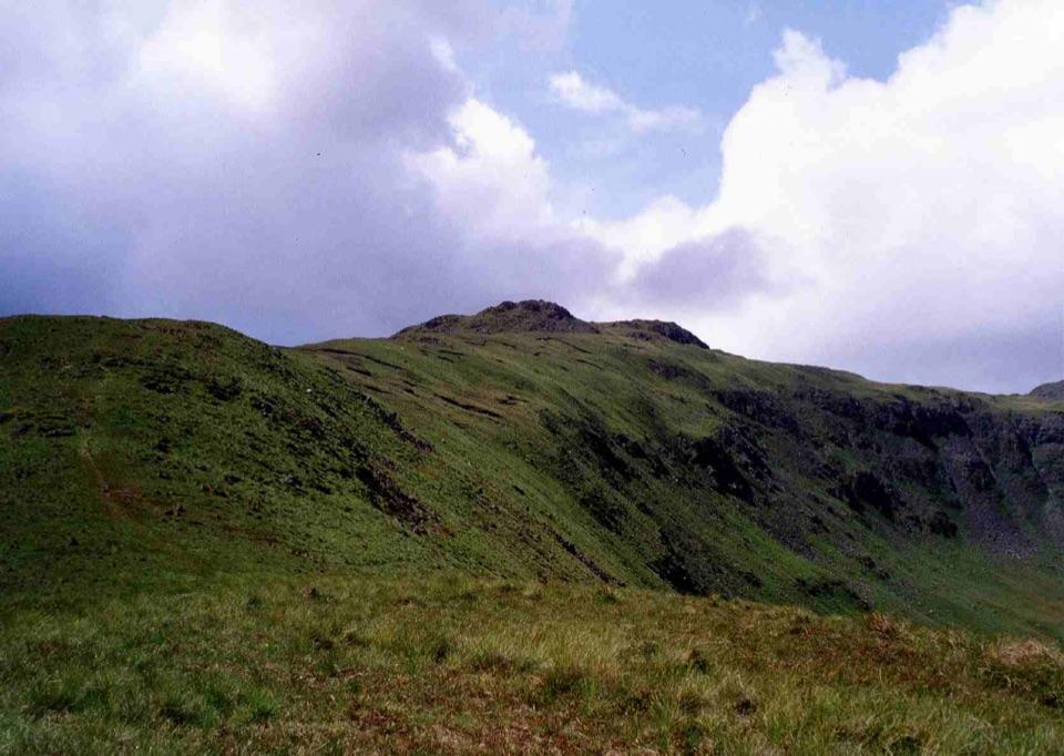
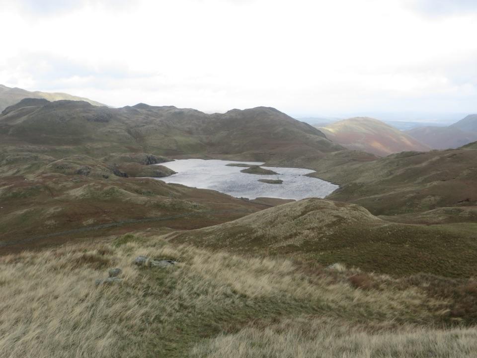
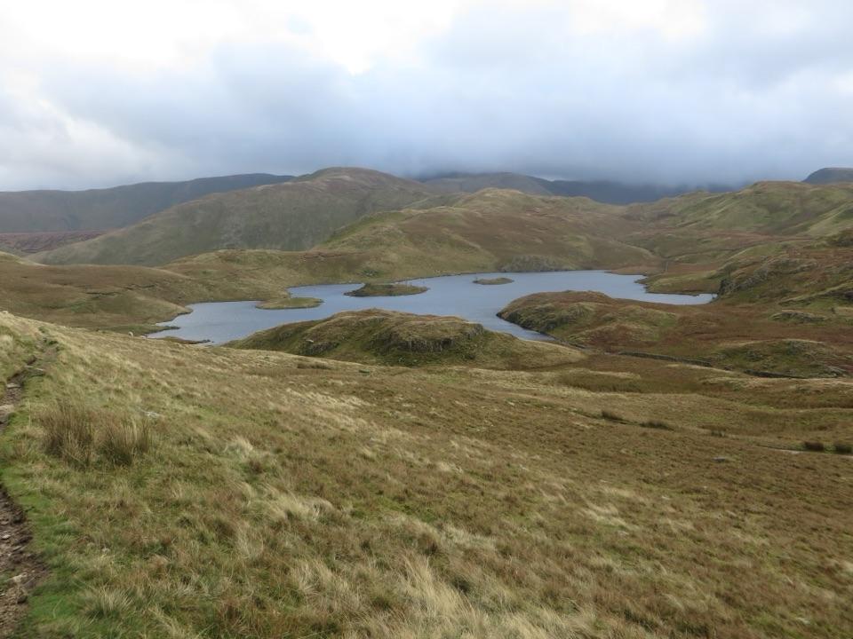
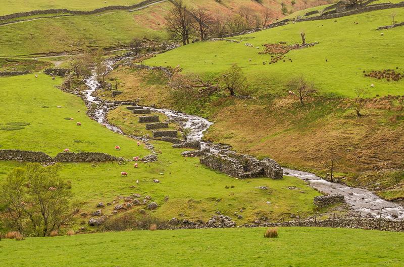
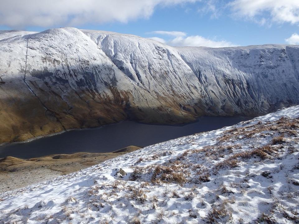
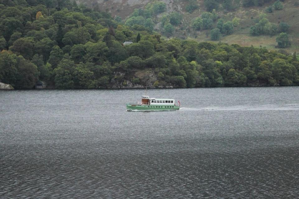
A small lake below the fellsBrothers Water is a shallow lake in the Hartsop valley, fringed by reeds and woodland.

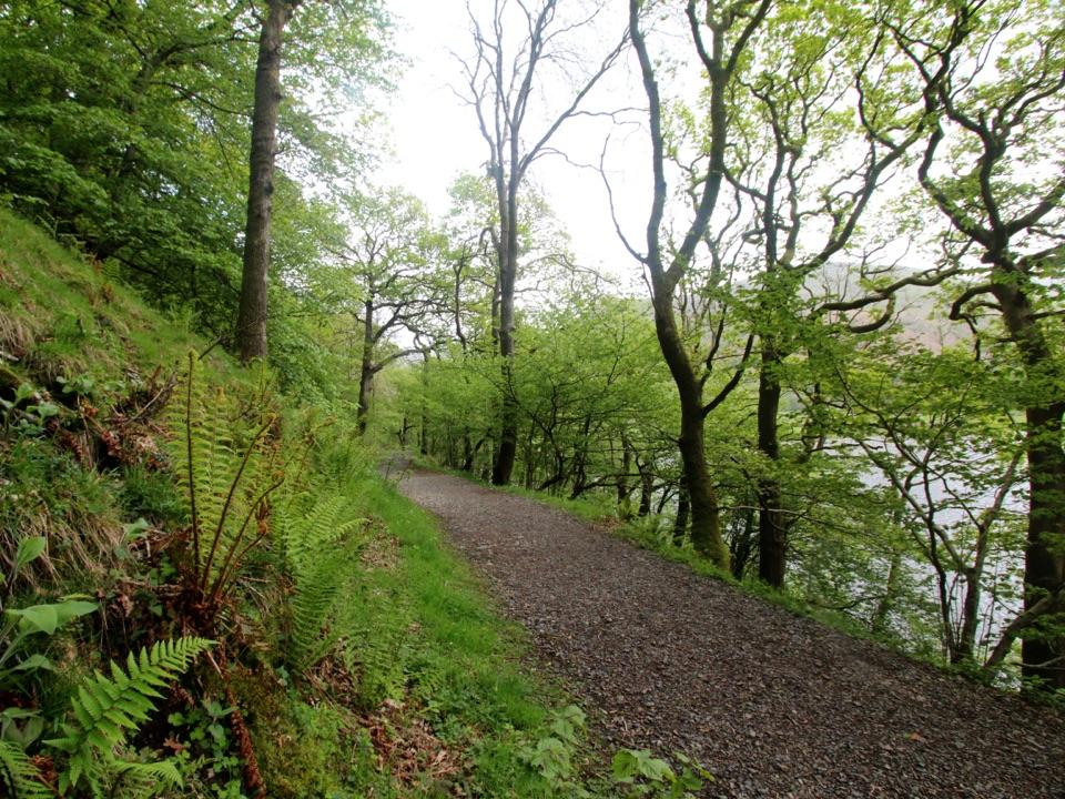
Brothers Water is a shallow lake in the Hartsop valley, fringed by reeds and woodland. The shore path through Low Wood gives you a close view of the water and surrounding fells without committing to a mountain day.

Walk the shoreStart at Cow Bridge car park beside the A592. The park authority's gently undulating 3.

Start at Cow Bridge car park beside the A592. The park authority's gently undulating 3.75 km return route follows the surfaced path along the lake, past Hartsop Hall and towards Sykeside campsite. It grades the route for many rather than all users; check the current route details against your own needs.

Most of the route beyond the hall is level, but the short slope to the Bank End Bar reaches 1 in 10, and the further climb to Brotherswater Inn reaches 1 in 7. Turn around earlier if that climb doesn't suit your group. There are no facilities on the route itself; the inn has toilets for customers.

What to noticeThe mixed oak of Low Wood is especially colourful in autumn.

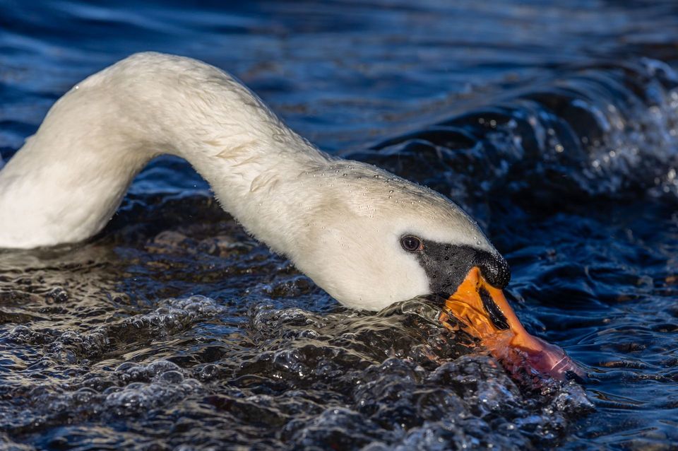
The mixed oak of Low Wood is especially colourful in autumn. Look for water lilies in summer and for moorhens, coots and swans around the lake. Hartsop Hall is a 16th-century Grade I listed building at the entrance to Dovedale; beyond it, Dove Crag rises at the head of the valley.

On and beside the waterIndividual swimming is permitted, but canoes, kayaks, paddleboards, sailing boats and powered…

Individual swimming is permitted, but canoes, kayaks, paddleboards, sailing boats and powered craft are not. This is cold, unguarded water, so stay within your ability. For a photo, frame the lake through the shoreline trees with the fells behind it. The A592 is close to the access end, so the walk isn't entirely secluded.

Wildlife

Wildlife in Lake District

All Lake District wildlife maps

Sighting maps show where each species has been reported across Lake District. Wildlife moves, so no sighting is guaranteed.

Keep exploring

Near Brothers Water

See it all on the map

Trails nearby

More stops nearby

Parkwolf’s Lake District ranking

Top sights in Lake District

All 90 places
  1. 1WindermereSight
  2. 2Scafell PikeSight
  3. 3UllswaterSight
  4. 4DerwentwaterSight
  5. 5Wast WaterSight
  6. 6Aira ForceSight

Take Parkwolf to Lake District.

The audio tour guide for the drive, plus offline maps, trails, and wildlife heatmaps for when the signal drops.

4.7 from 8,600+ ratings

Download Parkwolf on the App StoreGet Parkwolf on Google Play