Hartsop to Hayeswater Gill Trail in Lake District National Park

Lake District National Park, EN

Hartsop to Hayeswater Gill Trail

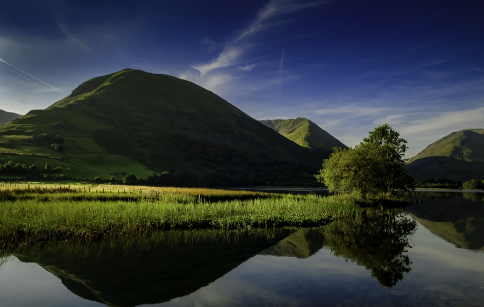
Mining history and beckside views on a compact Hartsop loop

Photo: Wikimedia Commons
Length
3.2km
Time
2hr
Elev. change
156m
Difficulty
Moderate
  • Loop
  • Dogs allowed
  • High point 332 m
  • #55 of 265 in Lake District

Hear the audio tour

Hartsop: Hayeswater Gill and Tarn

Overview

About Hartsop to Hayeswater Gill Trail

Why go

  • Compact loop with a beck, mining remains, and fell views
  • Good variety without committing to a summit day

Heads up

  • Marshy and slippery field sections after rain
  • Small trailhead parking and no toilets at the start

Map & elevation

The route

Loading the Lake District map
Full map
Elevation176–332 m
TrailheadHartsop to Hayeswater Gill Trail54.50893, -2.91270
Keep this map with you offline in the Parkwolf app

Plan your hike

Before you go

Parking

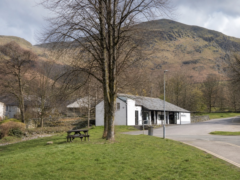
Use Hartsop village car park at the end of the lane, CA11 0NZ. Payment is by honesty box. If it is full, the pay-and-display car park at Cow Bridge beside Brothers Water is about half a mile, or 1 km, from the trail start. Do not block gates, lanes, or farm access.


Best time to go

Clear weather gives the best views along the beck and across the surrounding fells. There is little shelter beyond the village, and wet weather makes the grass and gravel more awkward. Dogs are welcome, but keep them on a lead because the route crosses grazed fields and habitat used by ground-nesting birds and deer.

Safety

The route has steep and narrow sections, loose stone, slippery gravel, marshy grass, and a small footbridge. Keep dogs on a lead around livestock, ground-nesting birds, and deer. Do not enter the old mine remains. The nearest public toilets are in Patterdale and Glenridding.

8 active Lake District alerts

  • ClosureChapel Stile footpath closed for retaining-wall riskPart of Footpath 543030 between Chapel Stile and Baysbrown campsite is closed because a retaining wall beside the path could collapse and material it supports could fall across the footpath.Official details
  • ClosureStanley Ghyll Lower Falls footpath closed for rockfallThe section of Footpath 408037 leading towards Stanley Ghyll Lower Falls is closed because severe rockfall damage has made the path unstable and further rockfall remains a danger.Official details
See all 8 alerts
A park ranger sits on a dash-mounted phone, talking, as Parkwolf’s Tour Guide plays “Army Cutworm Moths: A Grizzly Bear Buffet” on Grand Loop Road below Dunraven Pass in Yellowstone
Parkwolf Tour GuideThe highest, rockiest slopes around here are a summer buffet for grizzly bears.

Lake District Tour Guide

Your drive to Hartsop to Hayeswater Gill Trail, narrated.

Parkwolf is a GPS audio tour guide for Lake District National Park. As you drive, it chimes in with what’s ahead: hidden gems, upcoming stops, history, geology, and wildlife, right through your car’s speakers.

Recorded for this trailhead

Hartsop: Hayeswater Gill and Tarn
0:00 / 1:12
“You're approaching Hartsop, where the Hayeswater Gill walk packs cascades, mountain views and old workings into a two-mile loop.”

Plays as you drive up to this trailhead in the Parkwolf Lake District Tour Guide.

More stories near here in the app

  • Brothers Water: Woodland and Shore
  • Patterdale: Place Fell and Arnison Crag
  • Glenridding: Ullswater Shore and Steamers
  • Helvellyn Walks from Glenridding
  • 298 audio storiesacross Lake District’s roads, triggered by GPS as you drive
  • Wildlife heatmapsfor Red Deer, Eurasian Otter, Osprey, and 13 more
  • Works offlinemaps, 265 trails, 89 places, and audio download before you lose signal
  • CarPlay readysimple controls built for the drive
★★★★★
“Fantastic app with many points of information… It’s great to just turn on while you’re driving and it gives you an audio tour of the national Park. We love it!!!!”
JMJamesApp Store review
Download Parkwolf on the App StoreGet Parkwolf on Google Play

4.7 from 8,600+ ratings

Trail guide

Hiking Hartsop to Hayeswater Gill Trail

The routeThis is a 2-mile circular walk from Hartsop village, returning to the same car park.

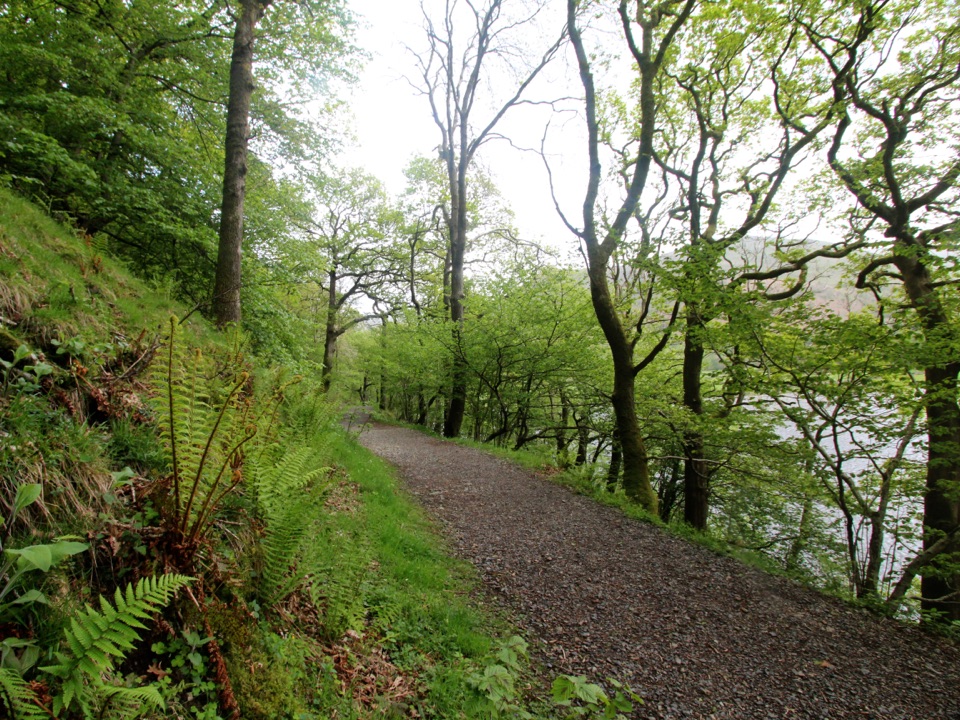
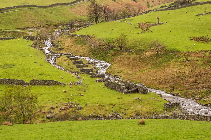
This is a 2-mile circular walk from Hartsop village, returning to the same car park. Allow about two hours. Follow the tarmac road past the sheep pens and old filter house, drop to a footbridge over Hayeswater Gill, then climb briefly onto the gravel track. The return drops through fields by the beck to the remains of Myers Head Lead Mine and an old corn mill before rejoining the road.

What it feels likeThe walk is moderate rather than strenuous, but it is not a flat stroll.

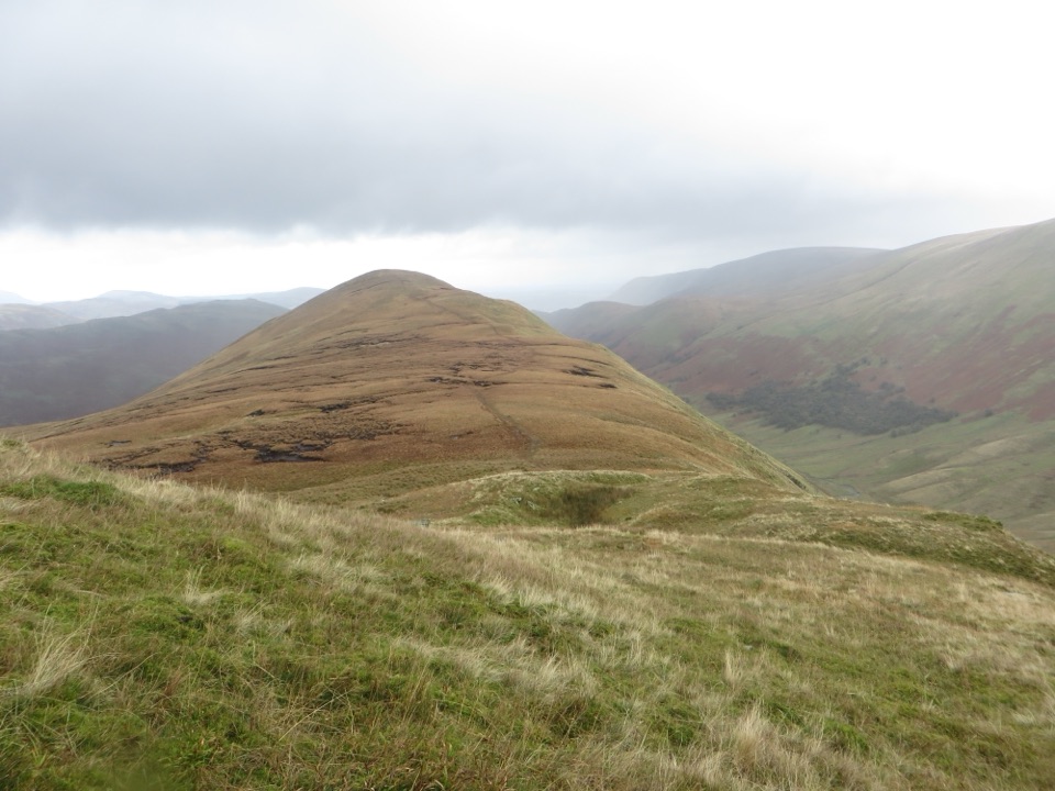
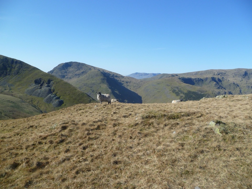
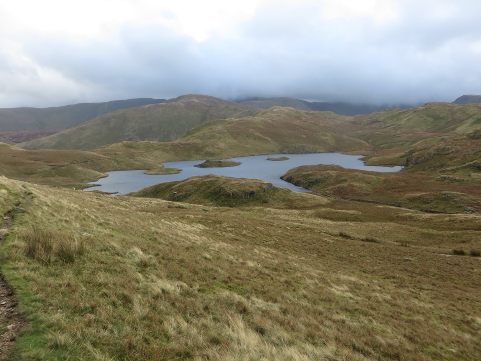
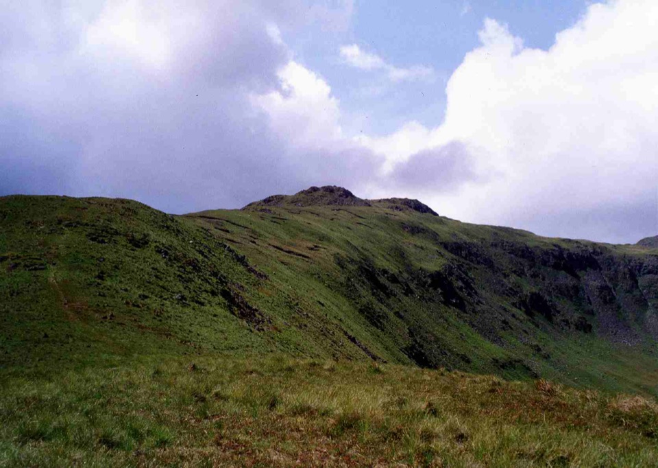
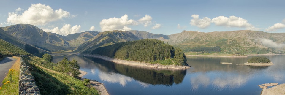
The walk is moderate rather than strenuous, but it is not a flat stroll. Expect a mix of worn tarmac, compacted gravel, loose stone, grass, and a narrow footbridge, with steep or slippery sections and some marshy ground in the fields. Hayeswater Gill is the visual thread throughout. Look for cascades, old ash pollards, stone walls, Grey Crag, and Hartsop Dodd. Red deer use the surrounding fells, and the mine and mill remains give the short loop more substance than a simple beck walk.

The reservoir optionThe stored 2-mile route is the lower historical loop.

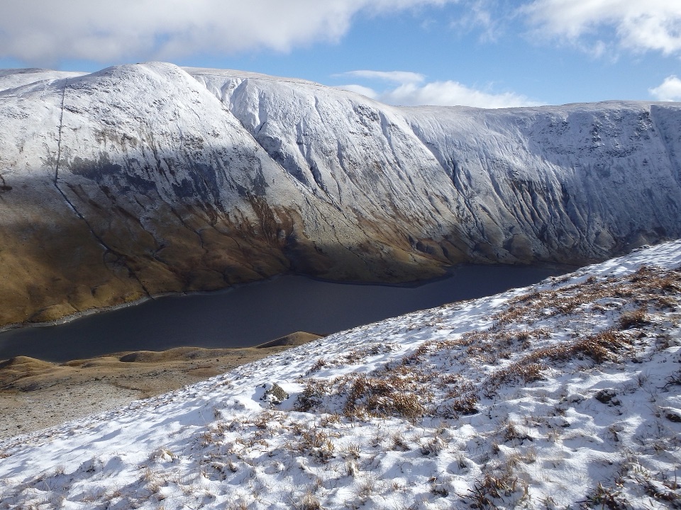
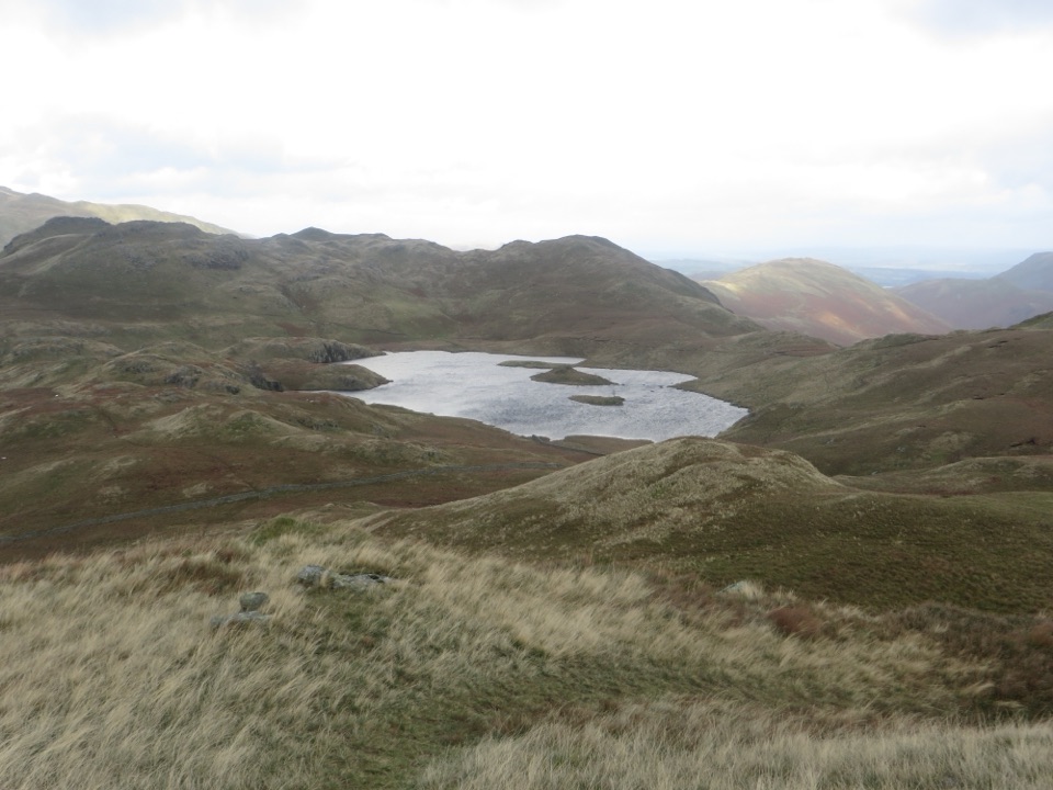
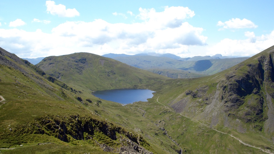
The stored 2-mile route is the lower historical loop. From the gravel track, Hayeswater Reservoir is an optional continuation of about 600 metres, then you return to rejoin the loop. Continuing farther around the reservoir becomes a different, longer fell walk, with rougher and wetter ground.

Wildlife

Wildlife in Lake District

All Lake District wildlife maps

Sighting maps show where each species has been reported across Lake District. Wildlife moves, so no sighting is guaranteed.

Keep exploring

Near Hartsop to Hayeswater Gill Trail

See it all on the map

Trails that start nearby

Places near the trailhead

Parkwolf’s Lake District ranking

Top-rated trails in Lake District

All 265 trails
  1. 1Scafell Pike via Hollow Stones from WasdaleChallenging · 9 km
  2. 2Helvellyn via Striding Edge and Swirral EdgeChallenging · 12.4 km
  3. 3CatbellsModerate · 6.6 km
  4. 4The Old Man of ConistonChallenging · 9 km
  5. 5Buttermere CircularEasy · 7.6 km
  6. 6The Fairfield HorseshoeChallenging · 17.2 km

Take Parkwolf to Lake District.

The audio tour guide for the drive, plus offline maps, trails, and wildlife heatmaps for when the signal drops.

4.7 from 8,600+ ratings

Download Parkwolf on the App StoreGet Parkwolf on Google Play