Parking
Use Hartsop village car park at the end of the narrow lane through Hartsop, at grid reference NY410130. It is a small rough lot with an honesty-box donation. Cow Bridge is a fallback but adds about 1 km to the trail start.
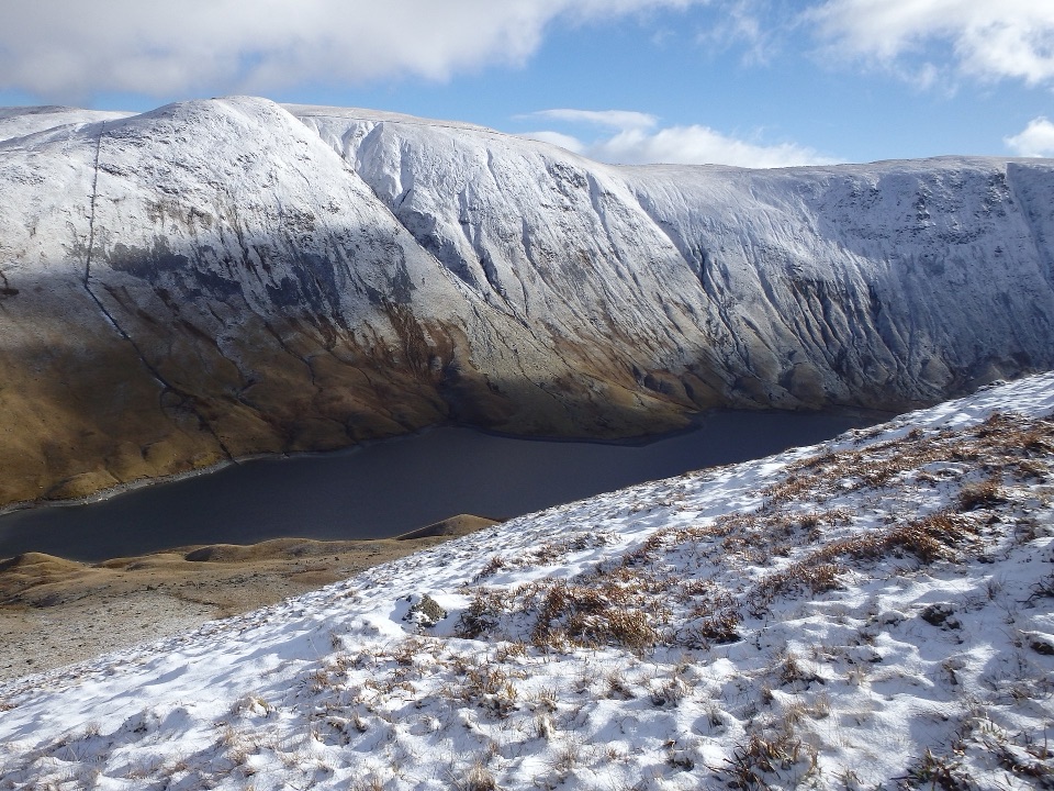
Lake District National Park, EN
A rough, quiet mountain tarn loop with cascades and old mine ruins
Overview
Map & elevation
Plan your hike

The highest, rockiest slopes around here are a summer buffet for grizzly bears.
Lake District Tour Guide
Parkwolf is a GPS audio tour guide for Lake District National Park. As you drive, it chimes in with what’s ahead: hidden gems, upcoming stops, history, geology, and wildlife, right through your car’s speakers.
Recorded for this trailhead
Hartsop: Hayeswater Gill and Tarn“You're approaching Hartsop, where the Hayeswater Gill walk packs cascades, mountain views and old workings into a two-mile loop.”
Plays as you drive up to this trailhead in the Parkwolf Lake District Tour Guide.
More stories near here in the app
“Fantastic app with many points of information… It’s great to just turn on while you’re driving and it gives you an audio tour of the national Park. We love it!!!!”


Trail guide
This is a 4.9-mile loop from Hartsop village car park up to Hayeswater, around the tarn, and back down past the old waterworks. Allow about 3 hours with 331 m of ascent, rough ground, beck crossings, and stops. Faster rounds are possible, but 3 hours is a fair budget for most walkers.
From the car park you pass the sheep pens and cattle grid, then follow the access track that alternates between tarmac and rough stone, crossing Hayeswater Gill on the way up. The climb is steady rather than brutal, rising into the bowl below Gray Crag. At the tarn the going changes: you thread glacial moraine and a narrow, sometimes faint line above the shoreline, then work through marshier ground and small watercourses near the head. The return crosses the outfall footbridge and drops back on the lower track past the filter house and the Myers Head lead mine remains before rejoining the approach route.
Rate it moderate to hard, around 6/10. The approach track is straightforward, but the circuit itself is where people get caught out. Expect wet peat, tussocks, loose moraine, and unmarked sections with no continuous path across the head of the tarn. You will ford or hop small streams, and after heavy rain those crossings and the boggy stretches slow things down considerably. Basic map reading is genuinely useful here, and boots with ankle support beat trail shoes. This route is not suitable for pushchairs.
Hayeswater sits in a quiet-feeling mountain amphitheatre ringed by Gray Crag, The Knott, Hartsop Dodd and the High Street ridge. Hayeswater Gill delivers waterfalls and cascades on the lower half of the walk. The tarn was a reservoir until the dam came out in 2014, so the water now sits as a natural mountain tarn again, though the route name has stuck. The industrial traces add real interest: stone waterworks, the filter house, the mine remains, and the moraine ridges left behind by ice.
The fells around the bowl hold red deer, best spotted early or late from the higher ground. The valley has ground-nesting birds in spring and early summer, and mature ash pollards line the lower fields. Sheep and cattle graze throughout.
Start at the small, rough Hartsop village car park at the end of the narrow lane through the village, grid reference NY410130. Spaces are very limited and there is an honesty-box donation for parking, so arrive early and bring coins. Cow Bridge is a fallback, but it adds roughly a kilometre before you even reach the start. There are no toilets or facilities on the route. Dogs are welcome but should stay on a lead throughout because of grazing livestock, ground-nesting birds and deer. Cattle in the lower fields can be assertive, particularly with calves nearby, so give them room and take a wide line.
For families, anyone with a pushchair, or a shorter outing, the 3.2 km Hayeswater Gill walk covers the best of the cascades and valley views on the same lower ground and turns back before the rough stuff begins. The full loop is the better pick if you want route interest, quieter ground, and the whole circuit of the tarn.
Wildlife
 81 sightingsRed DeerMost seen around 7 PMSighting map
 13 sightingsEurasian OtterMost seen around 6 AMSighting map
 76 sightingsOspreyMost seen around 8 AMSighting map
 51 sightingsEuropean BadgerMost seen around 8 PMSighting map
 233 sightingsMute SwanMost seen around 6 PMSighting map
 176 sightingsGrey HeronMost seen around 7 AMSighting map
Sighting maps show where each species has been reported across Lake District. Wildlife moves, so no sighting is guaranteed.
Keep exploring
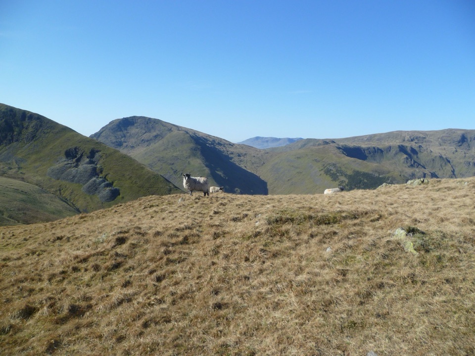 ChallengingPasture Beck Round from Hartsop10.5 km · 5 hr · At the trailheadFour summit tops and a rugged horseshoe above a quiet valley
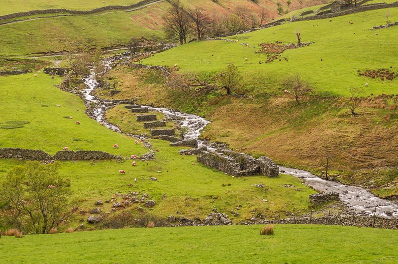 ModerateHartsop to Hayeswater Gill Trail3.2 km · 2 hr · At the trailheadMining history and beckside views on a compact Hartsop loop
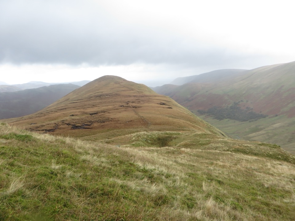 ChallengingRest Dodd and The Nab14.3 km · 5.5 hr · At the trailheadA rough fell circuit over two quiet summits and a boggy ridge
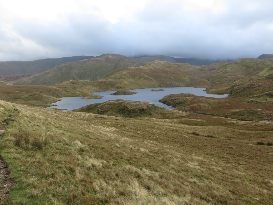 ModerateAngletarn Pikes from Hartsop11.6 km · 4.5 hr · At the trailheadA rough, rewarding circuit linking Angle Tarn with two airy felltops
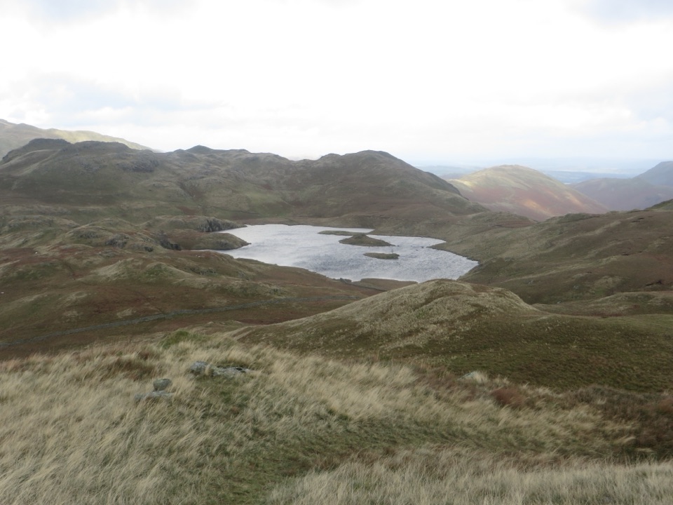 ModerateBrock Crags and Angletarn Pikes Circular12.2 km · 4.5 hr · At the trailheadTarn, twin rocky tops and wild boggy fells above a quiet valley
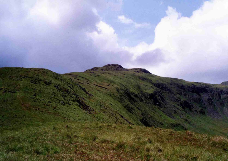 ChallengingThe Dovedale Round11.6 km · 5 hr · 0.8 km awayFive summits in one rugged loop above Brothers Water
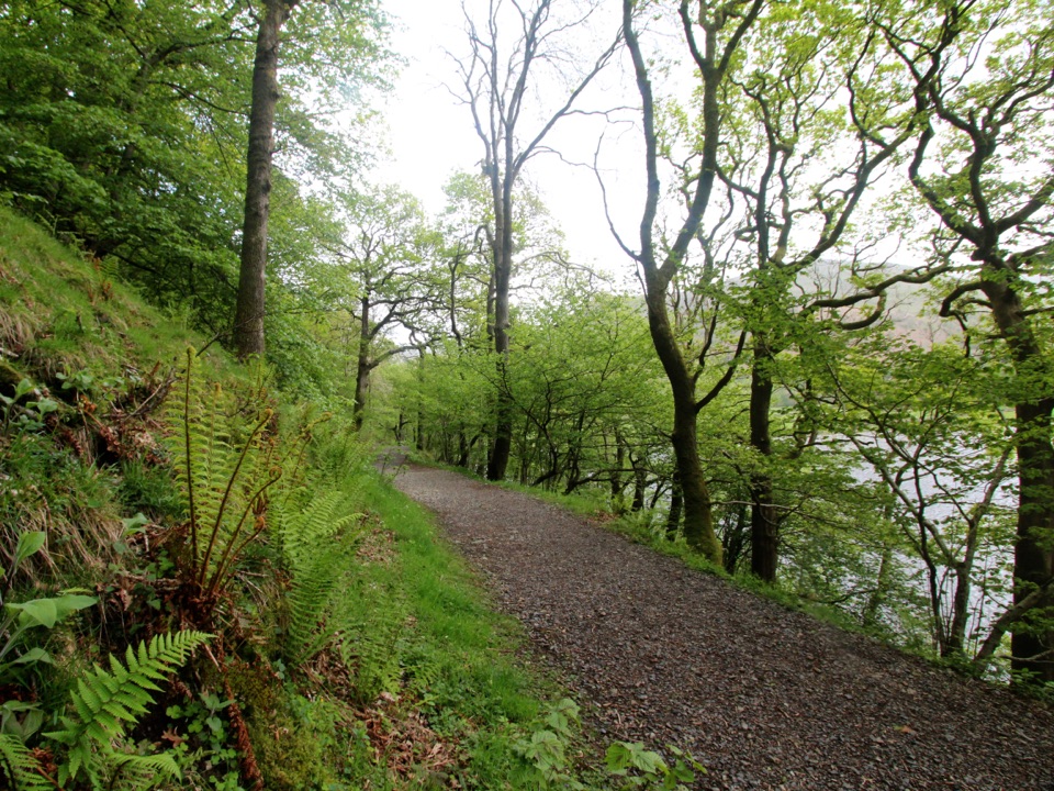 EasyBrothers Water3.7 km · 1.3 hr · 0.9 km awayGravel lakeshore path past water lilies to a Grade I listed hall
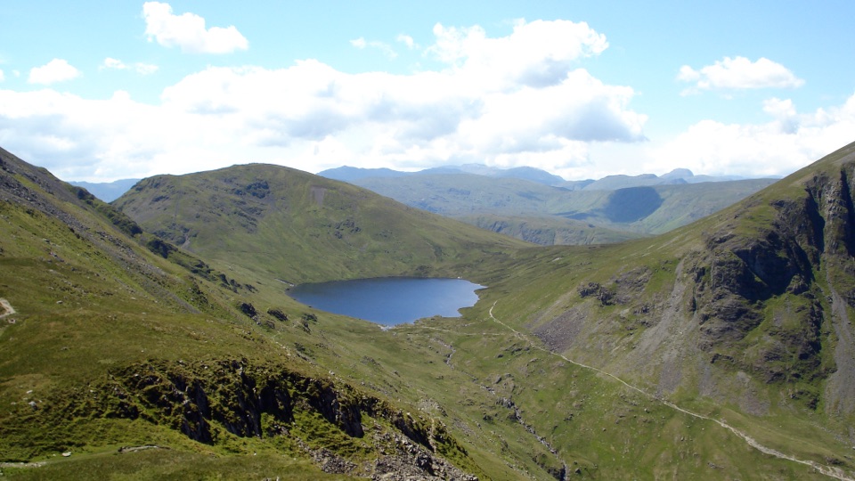 ChallengingSt Sunday Crag and Grisedale Tarn14.5 km · 5.5 hr · 3.3 km awayA high ridge, airy crags, and a tarn-filled valley return
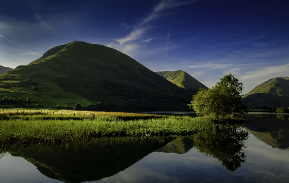 Sight · 0.8 km awayBrothers WaterA reed-fringed lake with big fell reflections and an easy shore walk
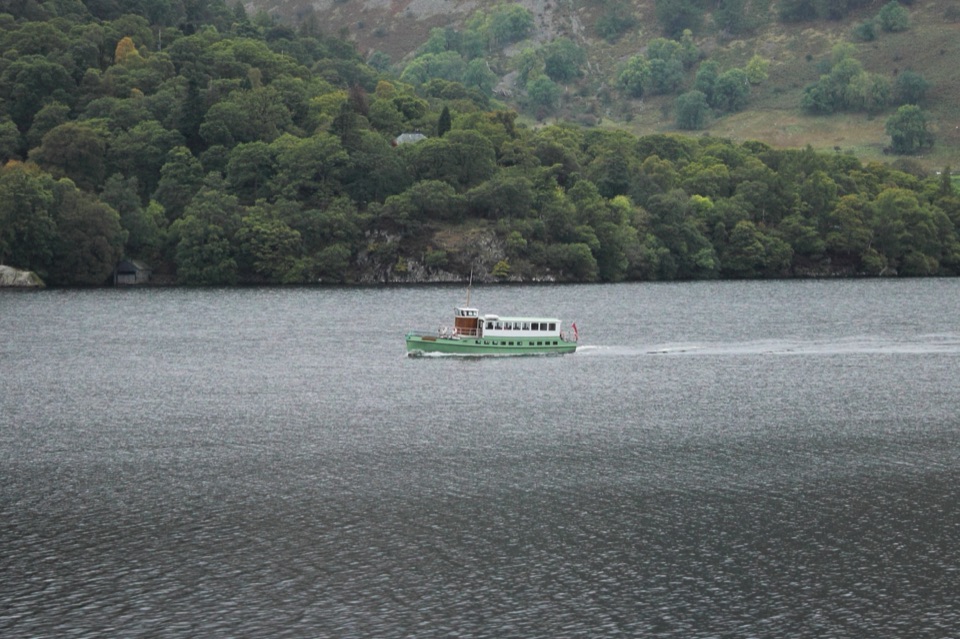 Sight · 4.4 km awayUllswater SteamersHeritage boats turn Ullswater into a moving mountain panorama
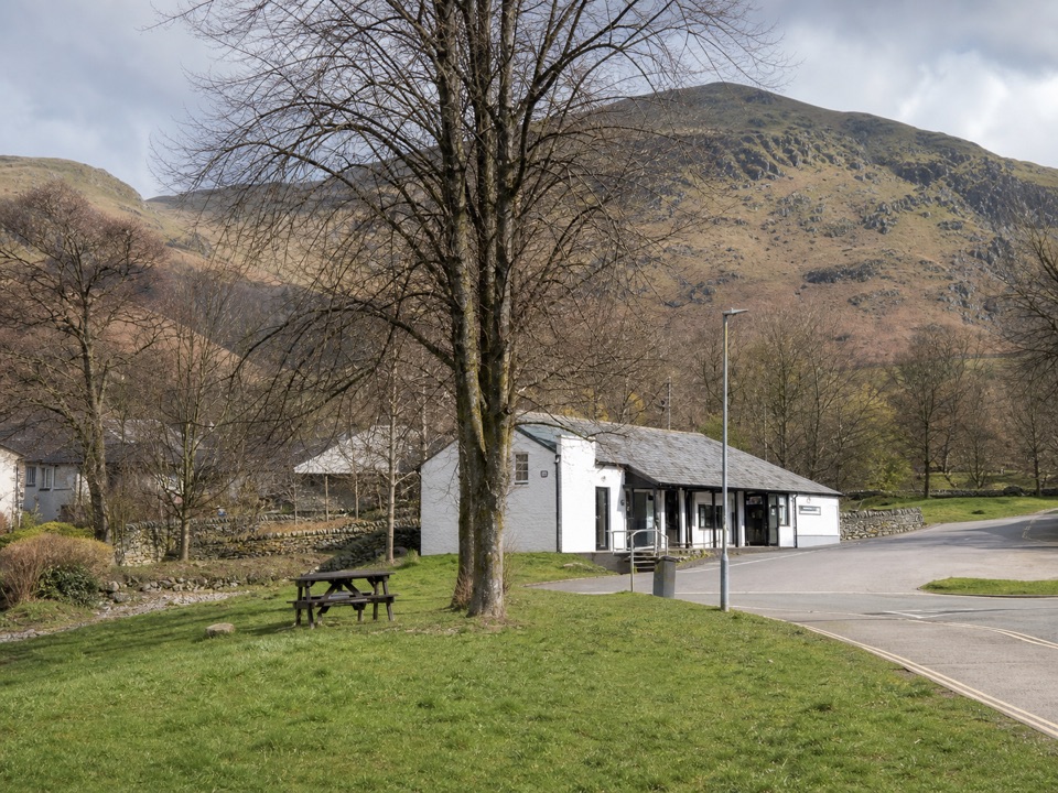 Visitor center · 4.6 km awayUllswater Information CentreA practical launchpad for Ullswater walks, boats, and local know-how
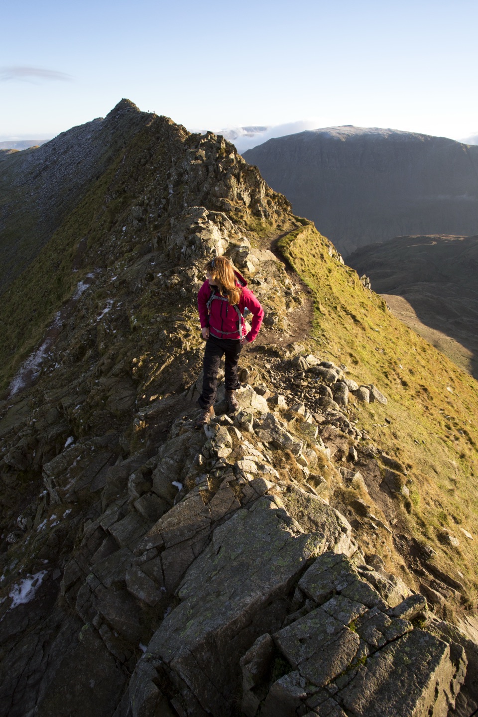 Sight · 7.1 km awayHelvellynEngland's third-highest peak, ringed by two airy ridges
 Sight · 7.5 km awayUllswaterA mountain-rimmed lake made for cruises, walks, and changing light
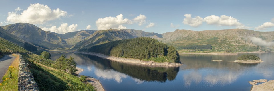 Sight · 7.6 km awayHaweswater ReservoirA remote mountain reservoir where quiet paths meet the High Street fells
 Sight · 7.6 km awayAira ForceA wooded waterfall walk with bridges, cascades, and Ullswater views
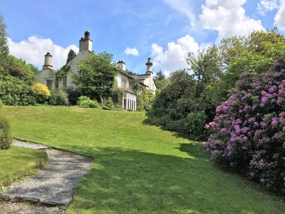 Sight · 8.1 km awayRydal MountWordsworth's final home, wrapped in five acres of garden and paths
Parkwolf’s Lake District ranking

The audio tour guide for the drive, plus offline maps, trails, and wildlife heatmaps for when the signal drops.





