Ullswater Information Centre in Lake District National Park

Visitor center · Lake District National Park

Ullswater Information Centre

A practical launchpad for Ullswater walks, boats, and local know-how

Type
Visitor center
Nearest trail
Right here
Audio stories
3 nearby
  • Parking
  • Restrooms
  • Exhibit
  • Wi-Fi

Hear the audio tour

Glenridding: Ullswater Shore and Steamers

Overview

About Ullswater Information Centre

Why stop

  • Expert advice can unlock the whole Ullswater area

Heads up

  • More planning hub than destination in its own right
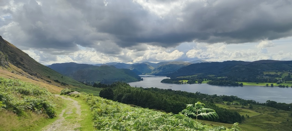
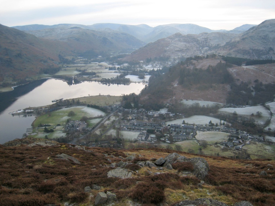
Ullswater Information Centre is the Lake District National Park's staffed planning base in Glenridding, beside Beckside Car Park on the lake's western shore. It is a useful first stop when you have not decided how to spend the day: ask about walks, cycling, local attractions, and ways to reach them by road, bus, or rail. The team can also point you toward the Ullswater Way and lake outings.
Parkwolf’s verdictWhy stop

Map

Where it is

Loading the Lake District map
Full map
Visitor centerUllswater Information Centre54.54376, -2.95060
Keep this map with you offline in the Parkwolf app

Plan your stop

Before you go

8 active Lake District alerts

  • ClosureChapel Stile footpath closed for retaining-wall riskPart of Footpath 543030 between Chapel Stile and Baysbrown campsite is closed because a retaining wall beside the path could collapse and material it supports could fall across the footpath.Official details
  • ClosureStanley Ghyll Lower Falls footpath closed for rockfallThe section of Footpath 408037 leading towards Stanley Ghyll Lower Falls is closed because severe rockfall damage has made the path unstable and further rockfall remains a danger.Official details
See all 8 alerts
A park ranger sits on a dash-mounted phone, talking, as Parkwolf’s Tour Guide plays “Army Cutworm Moths: A Grizzly Bear Buffet” on Grand Loop Road below Dunraven Pass in Yellowstone
Parkwolf Tour GuideThe highest, rockiest slopes around here are a summer buffet for grizzly bears.

Lake District Tour Guide

Your drive to Ullswater Information Centre, narrated.

Parkwolf is a GPS audio tour guide for Lake District National Park. As you drive, it chimes in with what’s ahead: hidden gems, upcoming stops, history, geology, and wildlife, right through your car’s speakers.

Recorded for this place

Glenridding: Ullswater Shore and Steamers
0:00 / 1:18
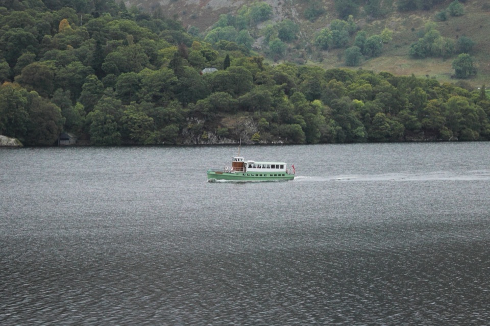
“You're approaching Glenridding, where you can join the Ullswater Way or head to the pier for a trip among the fells.”

Plays as you drive up to Ullswater Information Centre in the Parkwolf Lake District Tour Guide.

More stories near here in the app

  • Helvellyn Walks from Glenridding
  • Patterdale: Place Fell and Arnison Crag
  • Aira Force and Gowbarrow
  • Brothers Water: Woodland and Shore
  • 298 audio storiesacross Lake District’s roads, triggered by GPS as you drive
  • Wildlife heatmapsfor Red Deer, Eurasian Otter, Osprey, and 13 more
  • Works offlinemaps, 265 trails, 89 places, and audio download before you lose signal
  • CarPlay readysimple controls built for the drive
★★★★★
“Fantastic app with many points of information… It’s great to just turn on while you’re driving and it gives you an audio tour of the national Park. We love it!!!!”
JMJamesApp Store review
Download Parkwolf on the App StoreGet Parkwolf on Google Play

4.7 from 8,600+ ratings

Guide

More about Ullswater Information Centre

What you will findThe centre carries local and national park information, maps, books, touring and walking…

The centre carries local and national park information, maps, books, touring and walking guides, local products, gifts, and souvenirs. Free Wi-Fi and multimedia displays are available, and the centre can help with route-finding for road, rail, bus, walking, and cycling. Public toilets are nearby in the car park, and the car park itself is pay-and-display.

When it earns a stopUse it before committing to a long walk or trying to link a bus, boat, and footpath.

Use it before committing to a long walk or trying to link a bus, boat, and footpath. It is especially helpful for building a flexible Ullswater day around Glenridding, Pooley Bridge, Howtown, or Aira Force instead of guessing from a map.

This is a planning stop, not a scenic attraction that needs its own visit. Service follows a seasonal pattern, with a more limited winter schedule, so check that the staffed centre is open if you are visiting outside the main season. For a quick photo or a lakeside wander, continue toward the pier and shore.

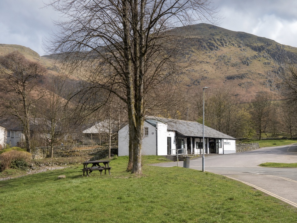
Why stopThe position makes it more useful than a generic town information desk.

The position makes it more useful than a generic town information desk. Glenridding Pier is roughly 100 metres away, and the local bus stop is close to the car park. That puts walking routes, Ullswater 'Steamers' connections, and village services within an easy walk.

Wildlife

Wildlife in Lake District

All Lake District wildlife maps

Sighting maps show where each species has been reported across Lake District. Wildlife moves, so no sighting is guaranteed.

Keep exploring

Near Ullswater Information Centre

See it all on the map

Trails nearby

More stops nearby

Parkwolf’s Lake District ranking

Top sights in Lake District

All 89 places
  1. 1WindermereSight
  2. 2Scafell PikeSight
  3. 3UllswaterSight
  4. 4DerwentwaterSight
  5. 5Wast WaterSight
  6. 6Aira ForceSight

Take Parkwolf to Lake District.

The audio tour guide for the drive, plus offline maps, trails, and wildlife heatmaps for when the signal drops.

4.7 from 8,600+ ratings

Download Parkwolf on the App StoreGet Parkwolf on Google Play