Brothers Water in Lake District National Park

Lake District National Park, EN

Brothers Water

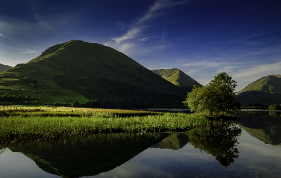
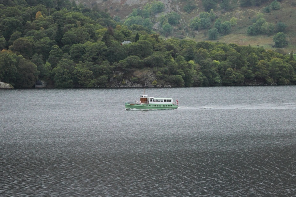
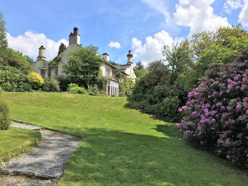
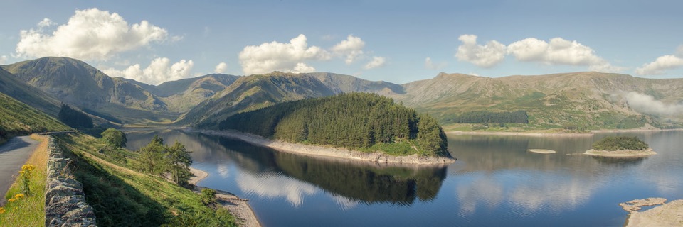
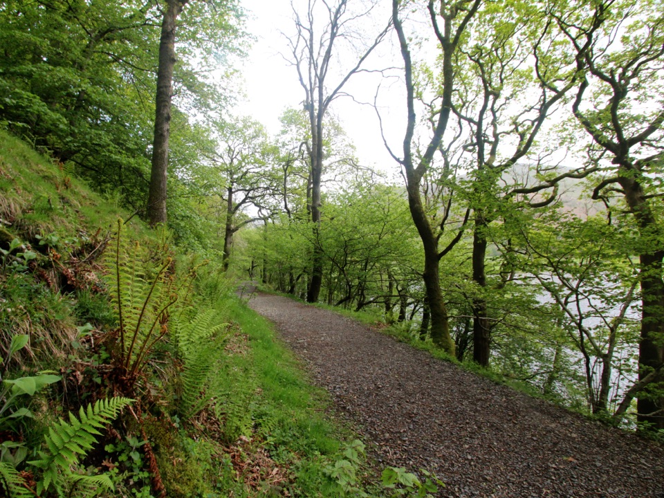
Gravel lakeshore path past water lilies to a Grade I listed hall

Photo: Wikimedia Commons
Length
3.7km
Time
1.3hr
Elev. change
81m
Difficulty
Easy
  • Dogs allowed
  • High point 221 m
  • #113 of 265 in Lake District

Hear the audio tour

Brothers Water: Woodland and Shore

Overview

About Brothers Water

Why go

  • Easy lakeshore access with woodland and water views
  • Firm surfaced and gravel path suits a wide range of walkers

Heads up

  • Small car park and road noise at the access end
  • Optional inn toilets require a steep final slope

Map & elevation

The route

Loading the Lake District map
Full map
Elevation140–221 m
TrailheadCow Bridge Car Park54.51217, -2.92442
Keep this map with you offline in the Parkwolf app

Plan your hike

Before you go

Parking

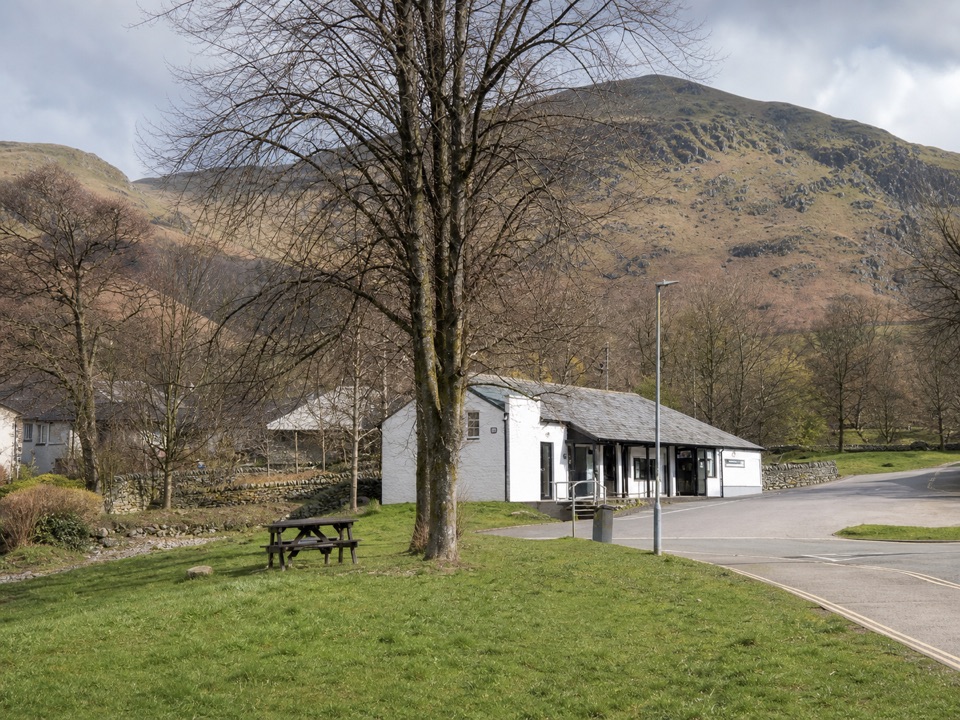
Use Cow Bridge Car Park on the A592 at the north end of Brothers Water. It is a small National Trust car park with around 22 spaces; leave from its southern end. The Windermere approach crosses Kirkstone Pass, which is unsuitable for large vehicles and should be avoided in snow or ice.


Best time to go

Early morning gives the calmest water and the cleanest reflections across the lake. Summer brings longer light and the chance of lilies in bloom; autumn is the pick for woodland colour through Low Wood. Low sun in either season works well looking up the valley toward Dove Crag.

Safety

The route is gently undulating rather than completely flat. The optional slopes to Bank End Bar and Brotherswater Inn are about 1:10 and 1:7, respectively. Keep dogs under control and in sight around wildlife and livestock, and take care near the A592 at the access end.

8 active Lake District alerts

  • ClosureChapel Stile footpath closed for retaining-wall riskPart of Footpath 543030 between Chapel Stile and Baysbrown campsite is closed because a retaining wall beside the path could collapse and material it supports could fall across the footpath.Official details
  • ClosureStanley Ghyll Lower Falls footpath closed for rockfallThe section of Footpath 408037 leading towards Stanley Ghyll Lower Falls is closed because severe rockfall damage has made the path unstable and further rockfall remains a danger.Official details
See all 8 alerts
A park ranger sits on a dash-mounted phone, talking, as Parkwolf’s Tour Guide plays “Army Cutworm Moths: A Grizzly Bear Buffet” on Grand Loop Road below Dunraven Pass in Yellowstone
Parkwolf Tour GuideThe highest, rockiest slopes around here are a summer buffet for grizzly bears.

Lake District Tour Guide

Your drive to Brothers Water, narrated.

Parkwolf is a GPS audio tour guide for Lake District National Park. As you drive, it chimes in with what’s ahead: hidden gems, upcoming stops, history, geology, and wildlife, right through your car’s speakers.

Recorded for this trailhead

Brothers Water: Woodland and Shore
0:00 / 1:17
“You're drawing near Brothers Water and Cow Bridge, a lovely place to trade the car for a gentle walk beneath the fells. From the small Cow Bridge car park, take the path from its southern end along the wooded west shore.”

Plays as you drive up to this trailhead in the Parkwolf Lake District Tour Guide.

More stories near here in the app

  • Hartsop: Hayeswater Gill and Tarn
  • Patterdale: Place Fell and Arnison Crag
  • Glenridding: Ullswater Shore and Steamers
  • Helvellyn Walks from Glenridding
  • 298 audio storiesacross Lake District’s roads, triggered by GPS as you drive
  • Wildlife heatmapsfor Red Deer, Eurasian Otter, Osprey, and 13 more
  • Works offlinemaps, 265 trails, 89 places, and audio download before you lose signal
  • CarPlay readysimple controls built for the drive
★★★★★
“Fantastic app with many points of information… It’s great to just turn on while you’re driving and it gives you an audio tour of the national Park. We love it!!!!”
JMJamesApp Store review
Download Parkwolf on the App StoreGet Parkwolf on Google Play

4.7 from 8,600+ ratings

Trail guide

Hiking Brothers Water

Route and distanceA linear out-and-back on the Miles Without Stiles 2 route, starting and finishing at Cow Bridge…

A linear out-and-back on the Miles Without Stiles 2 route, starting and finishing at Cow Bridge Car Park. The full visitor distance is 3.75 km (2.33 miles) round trip. The mapped corridor is drawn once at 2.123 km (1.319 miles) one way, from Cow Bridge to the turning point at the Sykeside/Bank End end. Allow about 1 to 1.25 hours. Difficulty is 3 out of 10: gently undulating, low level, with no scrambling or stiles.

The walk in orderFrom the car park the surfaced and gravel path runs along the wooded west shore and into Low…

From the car park the surfaced and gravel path runs along the wooded west shore and into Low Wood, a mixed oak woodland. It then opens out beside the shallow, reed-fringed lake before passing behind Hartsop Hall, a 16th-century Grade I listed building, and continuing on a level public access track to Sykeside. Hartsop Hall looks up toward Dovedale, with Dove Crag at the head of that side valley. Return the same way.

Scenery and wildlifeThe payoff is easy, open water-level scenery rather than summit views.

The payoff is easy, open water-level scenery rather than summit views. Water lilies may flower on the shallows in summer, and moorhens, coots and swans are often about. Low Wood is at its most attractive in autumn when the oaks colour up.

Footing and accessibilityThe surface is generally firm and level enough to serve as a designated accessible route,…

The surface is generally firm and level enough to serve as a designated accessible route, though it undulates gently rather than running flat. For powered users, class 2 or 3 mobility scooters are the stated requirement. Two short link slopes sit at the far end: roughly 1:10 up to Bank End Bar, and a steeper 1:7 up to Brotherswater Inn. Both are optional and can be skipped by turning around on the level track.

Facilities and dogsThere are no toilets and no facilities on the route itself.

There are no toilets and no facilities on the route itself. Toilets at Brotherswater Inn are for customers only, and reaching them means the steeper 1:7 slope. Bring water and anything else you need. Dogs are welcome on this public footpath, but keep them under control and in sight, especially near wildlife and grazing livestock.

Crowds, road and parkingThis is a popular easy walk, so expect company in good weather.

This is a popular easy walk, so expect company in good weather. The road is close by at the access end, so the first stretch is not a quiet wilderness experience, though the woodland and lakeshore sections feel calmer. Parking is at the small National Trust car park at Cow Bridge on the A592, with around 22 spaces. Coming from Windermere means crossing Kirkstone Pass, which is unsuitable for large vehicles and best avoided in snow or ice.
PermitsNo permit is required.

No permit is required.

Wildlife

Wildlife in Lake District

All Lake District wildlife maps

Sighting maps show where each species has been reported across Lake District. Wildlife moves, so no sighting is guaranteed.

Keep exploring

Near Brothers Water

See it all on the map

Trails that start nearby

Places near the trailhead

Parkwolf’s Lake District ranking

Top-rated trails in Lake District

All 265 trails
  1. 1Scafell Pike via Hollow Stones from WasdaleChallenging · 9 km
  2. 2Helvellyn via Striding Edge and Swirral EdgeChallenging · 12.4 km
  3. 3CatbellsModerate · 6.6 km
  4. 4The Old Man of ConistonChallenging · 9 km
  5. 5Buttermere CircularEasy · 7.6 km
  6. 6The Fairfield HorseshoeChallenging · 17.2 km

Take Parkwolf to Lake District.

The audio tour guide for the drive, plus offline maps, trails, and wildlife heatmaps for when the signal drops.

4.7 from 8,600+ ratings

Download Parkwolf on the App StoreGet Parkwolf on Google Play