Brock Crags and Angletarn Pikes Circular in Lake District National Park

Lake District National Park, EN

Brock Crags and Angletarn Pikes Circular

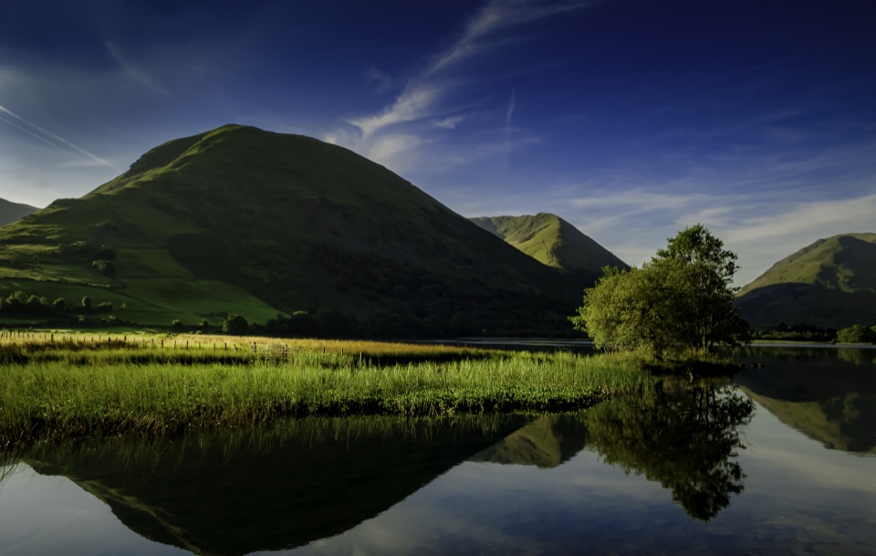
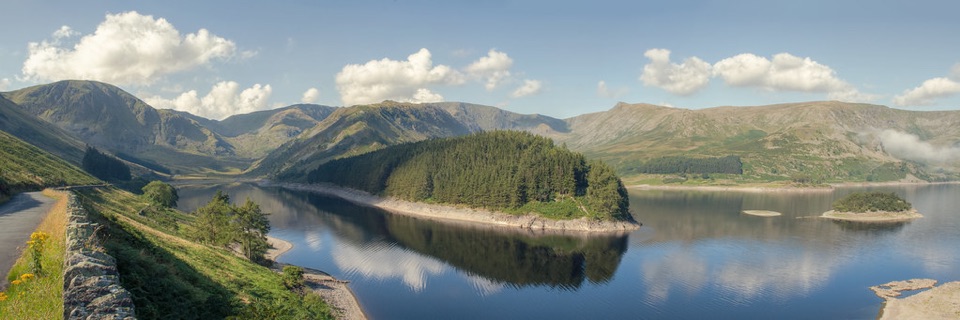
Tarn, twin rocky tops and wild boggy fells above a quiet valley

Photo: Wikimedia Commons
Length
12.2km
Time
4.5hr
Elev. change
411m
Difficulty
Moderate
  • Loop
  • Dogs allowed
  • High point 573 m

Hear the audio tour

Hartsop: Hayeswater Gill and Tarn

Overview

About Brock Crags and Angletarn Pikes Circular

This is a 7.6 miles total (12.2km) circular loop from and back to Hartsop village car park, with 579m of ascent and a realistic completion time of about 4.5 hours for most walkers. Strong, fast parties can finish in around 3 hours 25 minutes, but the rough ground makes the longer estimate more typical. Height on the route runs from roughly 162m in the valley to 573m near the high point, so the climbing is concentrated rather than constant.

Why go

  • Two named summits and a high tarn in one loop
  • Open fell views above Hayeswater and Hartsop

Heads up

  • Rough, boggy ground makes the miles slow
  • Poor route-finding in mist near the crags

Map & elevation

The route

Loading the Lake District map
Full map
Elevation162–573 m
TrailheadHartsop village car park54.50877, -2.91273
Keep this map with you offline in the Parkwolf app

Plan your hike

Before you go

Parking

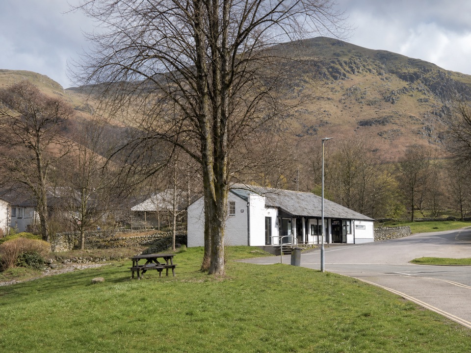
Start at Hartsop village car park at the lane end, CA11 0NZ (grid reference NY410130). It is a small rough village car park with an honesty box for donations. Cow Bridge is an alternative about 1 km from the start, adding a short road and track link.


Best time to go

  • Choose a settled, clear day; visibility matters more here than warmth
  • Late spring to early autumn gives the driest footing, though boggy patches persist year round
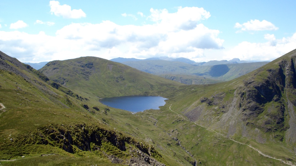
  • Start early to reach Angle Tarn before midday for calm water and reflections of the surrounding knolls
  • Late afternoon light suits the rocky tops of Angletarn Pikes and the long view down the valley
  • Allow extra time in winter, when short daylight and iced rock on the scramble raise the difficulty
  • The two Pikes tops each frame different views, so it is worth visiting both

Safety

Aggressive cattle may be in the valley fields, especially around calves. Give livestock a wide berth and keep dogs on leads. The high ground is rough and boggy with indistinct paths close to crags, so mist makes navigation risky.

8 active Lake District alerts

  • ClosureChapel Stile footpath closed for retaining-wall riskPart of Footpath 543030 between Chapel Stile and Baysbrown campsite is closed because a retaining wall beside the path could collapse and material it supports could fall across the footpath.Official details
  • ClosureStanley Ghyll Lower Falls footpath closed for rockfallThe section of Footpath 408037 leading towards Stanley Ghyll Lower Falls is closed because severe rockfall damage has made the path unstable and further rockfall remains a danger.Official details
See all 8 alerts
A park ranger sits on a dash-mounted phone, talking, as Parkwolf’s Tour Guide plays “Army Cutworm Moths: A Grizzly Bear Buffet” on Grand Loop Road below Dunraven Pass in Yellowstone
Parkwolf Tour GuideThe highest, rockiest slopes around here are a summer buffet for grizzly bears.

Lake District Tour Guide

Your drive to Brock Crags and Angletarn Pikes Circular, narrated.

Parkwolf is a GPS audio tour guide for Lake District National Park. As you drive, it chimes in with what’s ahead: hidden gems, upcoming stops, history, geology, and wildlife, right through your car’s speakers.

Recorded for this trailhead

Hartsop: Hayeswater Gill and Tarn
0:00 / 1:12
“You're approaching Hartsop, where the Hayeswater Gill walk packs cascades, mountain views and old workings into a two-mile loop.”

Plays as you drive up to this trailhead in the Parkwolf Lake District Tour Guide.

More stories near here in the app

  • Brothers Water: Woodland and Shore
  • Patterdale: Place Fell and Arnison Crag
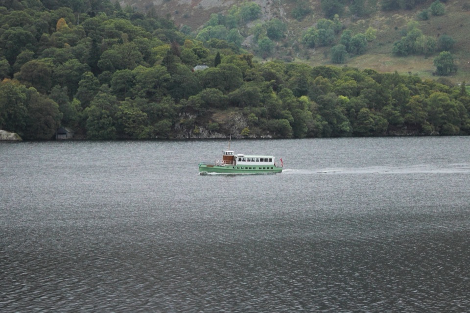
  • Glenridding: Ullswater Shore and Steamers
  • Helvellyn Walks from Glenridding
  • 298 audio storiesacross Lake District’s roads, triggered by GPS as you drive
  • Wildlife heatmapsfor Red Deer, Eurasian Otter, Osprey, and 13 more
  • Works offlinemaps, 265 trails, 89 places, and audio download before you lose signal
  • CarPlay readysimple controls built for the drive
★★★★★
“Fantastic app with many points of information… It’s great to just turn on while you’re driving and it gives you an audio tour of the national Park. We love it!!!!”
JMJamesApp Store review
Download Parkwolf on the App StoreGet Parkwolf on Google Play

4.7 from 8,600+ ratings

Trail guide

Hiking Brock Crags and Angletarn Pikes Circular

Route sequenceThe payoff is a compact high circuit that pairs a quiet reservoir basin with a tarn ringed by…

The payoff is a compact high circuit that pairs a quiet reservoir basin with a tarn ringed by knolls and craggy summits, all reached without leaving the loop or extending onto neighbouring fells.

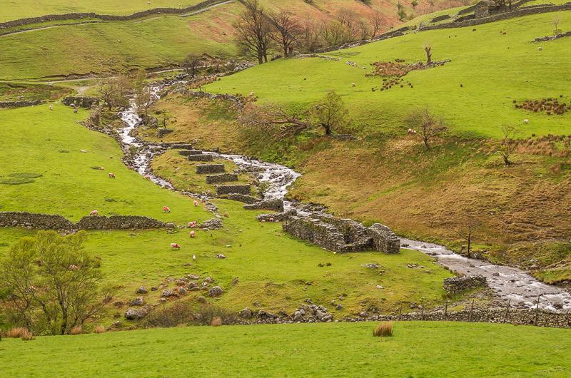
  • Leave the car park and follow Pasture Beck past the sheep pens
  • Cross the Hayeswater Gill bridge and climb steadily above Hayeswater
  • Traverse wet fellside below Rest Dodd near Prison Gill
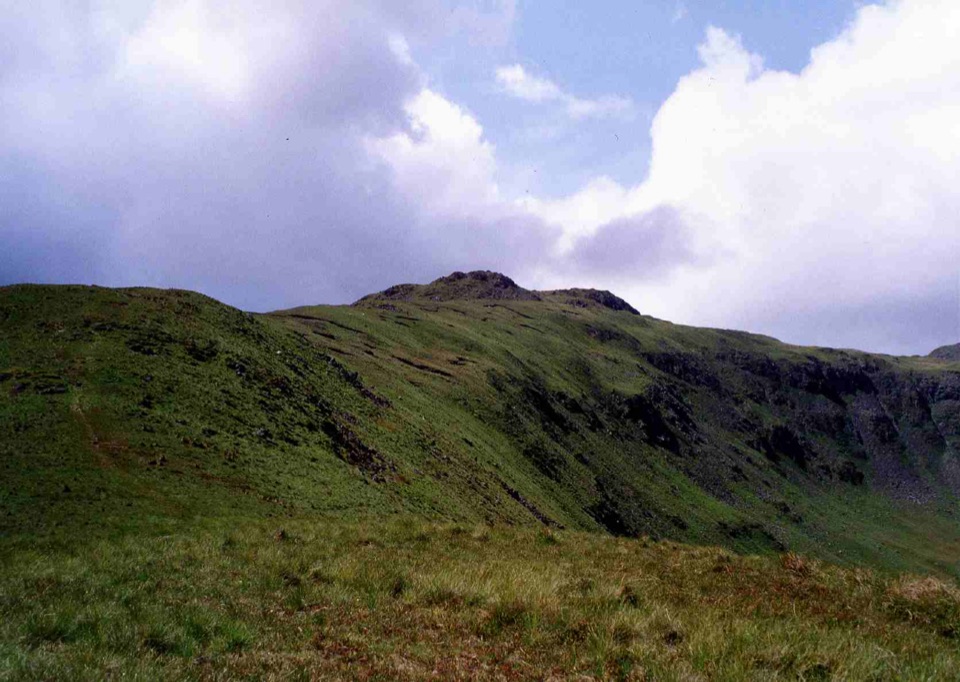
  • Reach Brock Crags, then Buck Crag
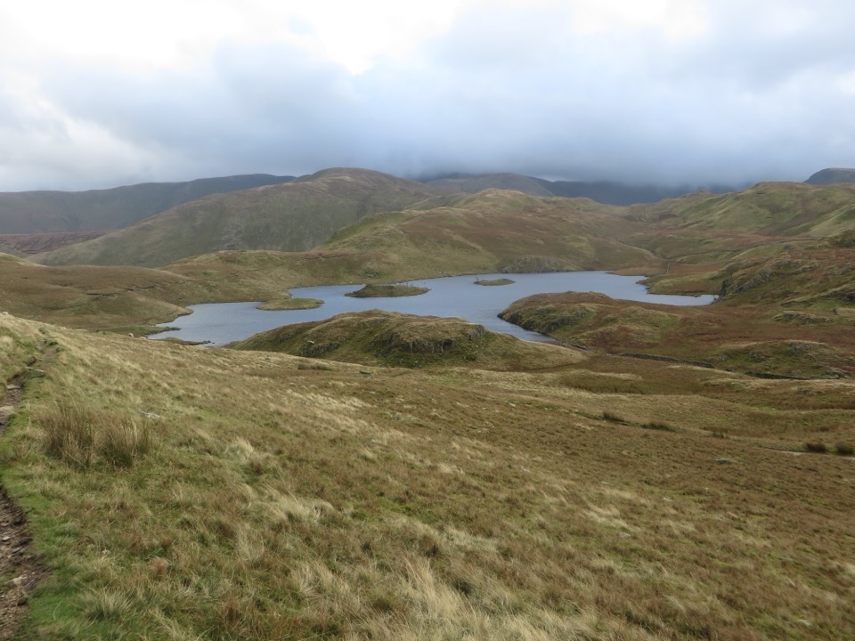
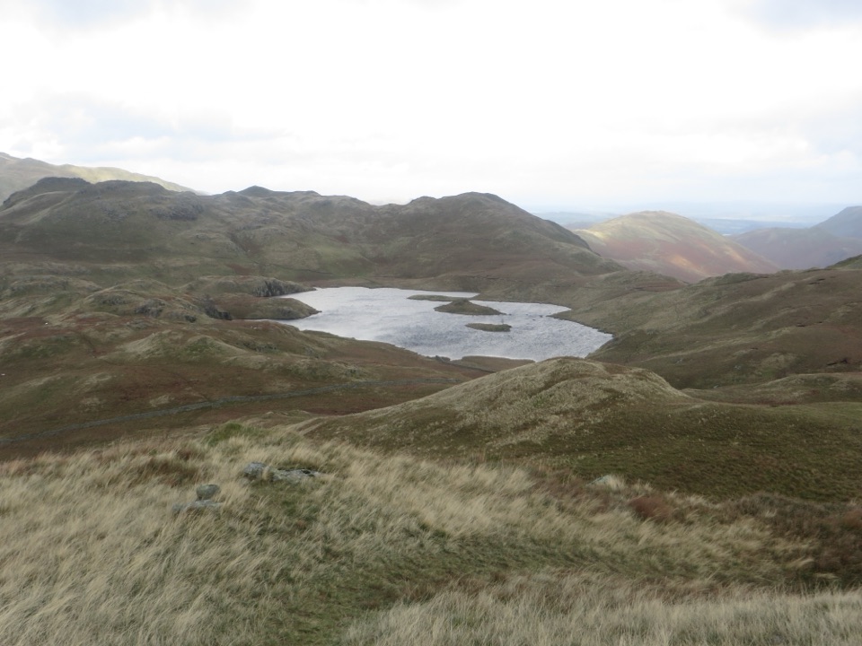
  • Drop to Angle Tarn, the scenic centrepiece of the walk
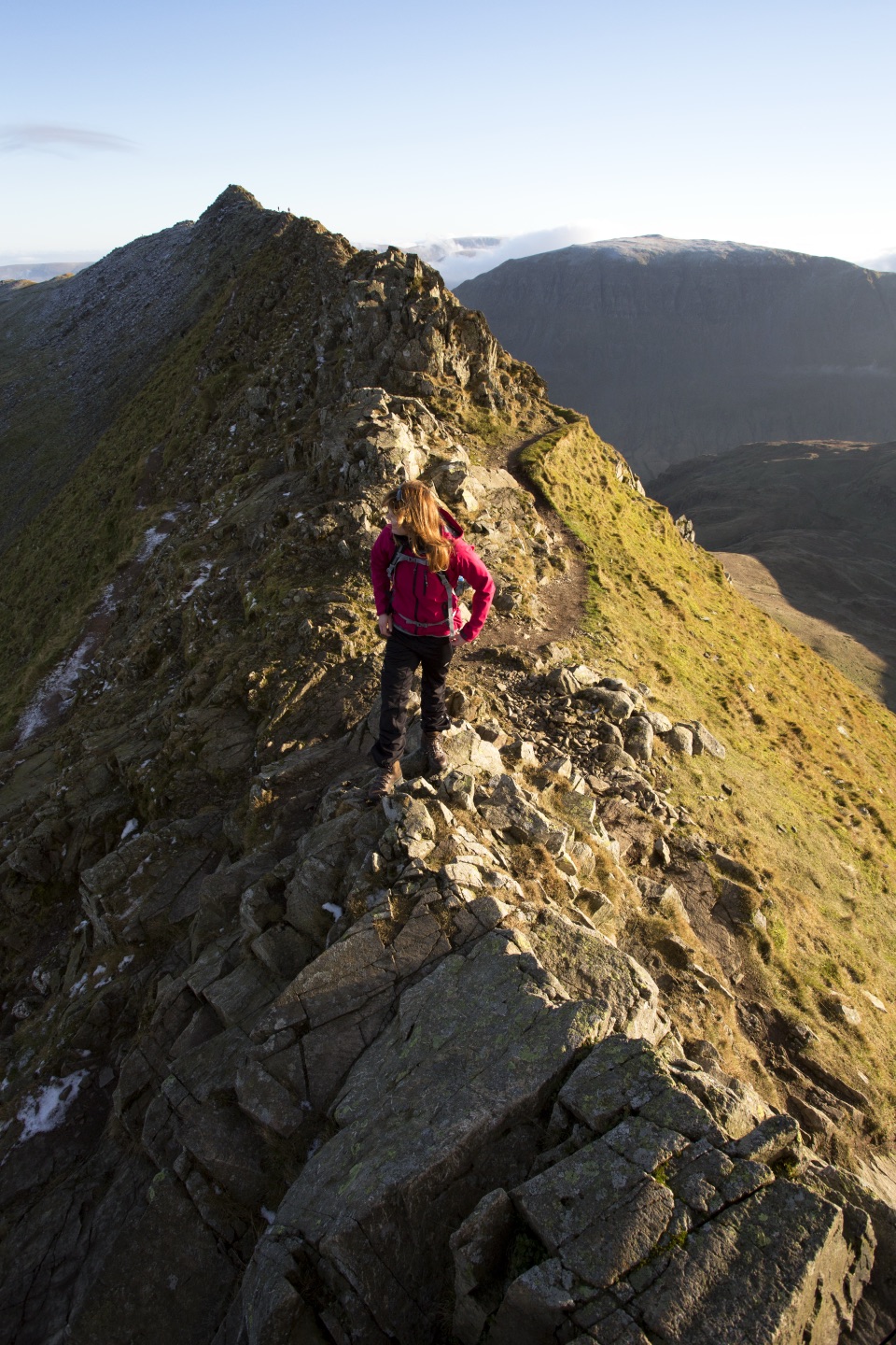
  • Climb Angletarn Pikes, with a short scramble and two rocky tops, one slightly higher than the other
  • Descend to Boredale Hause, then take the pipeline track and lower valley track back to Hartsop
Terrain and navigationThe climb above Hayeswater is steep and sustained.

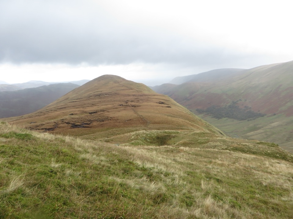
The climb above Hayeswater is steep and sustained. Expect very rough ground with boulders and scree, plus wet and boggy sections on the undulating shelf below Rest Dodd and across the summit plateau. Several stretches follow remote, indistinct paths, so map and compass skills are needed. Because the route passes close to crags on complicated ground near Brock Crags, Buck Crag and Angletarn Pikes, mist makes route finding poor and risky. Save this loop for a day with reliable visibility.

Wildlife and heritageRed deer are regularly seen around Hartsop and on the slopes below Rest Dodd, so move quietly…

Red deer are regularly seen around Hartsop and on the slopes below Rest Dodd, so move quietly on the traverse. Ground-nesting birds use the open fell in spring and early summer, which is a further reason to keep to paths. Along the valley, the stone sheep pens by Pasture Beck and the pipeline track near the end reflect long-standing farming and water-supply use of these fells.

Parking and accessStart from the Hartsop village car park at the lane end (postcode CA11 0NZ, grid reference…

Start from the Hartsop village car park at the lane end (postcode CA11 0NZ, grid reference NY410130). It is a small village car park with an honesty box for donations rather than a formal pay machine, so bring coins. If it is full, Cow Bridge parking sits about 1km from the start and adds a short road and track link at each end. Underfoot conditions at the start include loose stone, worn tarmac, gravel and marshy grass, so wear boots with ankle support and grip from the car park onwards.

Livestock and dogsCattle and sheep graze the valley fields and open fell along much of this route.

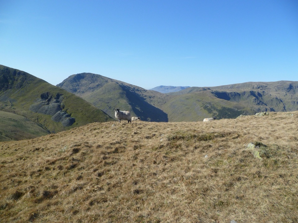
Cattle and sheep graze the valley fields and open fell along much of this route. Cattle can be inquisitive and should be given a wide berth, especially near the beck crossings and gates. Dogs are welcome but must be kept on leads because of livestock, ground-nesting birds and deer. Close all gates behind you and avoid walking between cattle and their calves.

Wildlife

Wildlife in Lake District

All Lake District wildlife maps

Sighting maps show where each species has been reported across Lake District. Wildlife moves, so no sighting is guaranteed.

Keep exploring

Near Brock Crags and Angletarn Pikes Circular

See it all on the map

Trails that start nearby

Places near the trailhead

Parkwolf’s Lake District ranking

Top-rated trails in Lake District

All 265 trails
  1. 1Scafell Pike via Hollow Stones from WasdaleChallenging · 9 km
  2. 2Helvellyn via Striding Edge and Swirral EdgeChallenging · 12.4 km
  3. 3CatbellsModerate · 6.6 km
  4. 4The Old Man of ConistonChallenging · 9 km
  5. 5Buttermere CircularEasy · 7.6 km
  6. 6The Fairfield HorseshoeChallenging · 17.2 km

Take Parkwolf to Lake District.

The audio tour guide for the drive, plus offline maps, trails, and wildlife heatmaps for when the signal drops.

4.7 from 8,600+ ratings

Download Parkwolf on the App StoreGet Parkwolf on Google Play