Cat Bells in Lake District National Park

Sight · Lake District National Park

Cat Bells

A short rocky climb to a huge Derwentwater panorama

Photo: Wikimedia Commons
Type
Sight
Nearest trail
0.8 km
Audio stories
9 nearby
  • #17 of 80 sights

Hear the audio tour

Cat Bells: Ridge and Lakeshore Loop

Overview

About Cat Bells

Why stop

  • Huge Derwentwater-and-fell panorama from a short route

Heads up

  • Crowded paths and scarce local parking
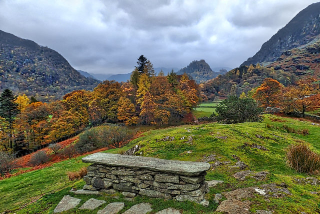
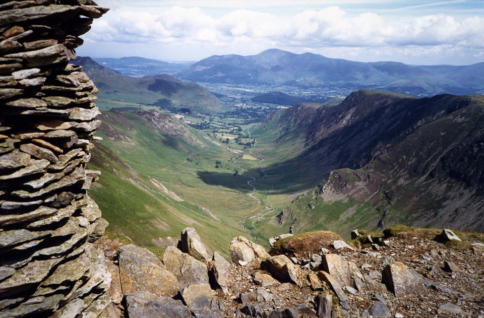
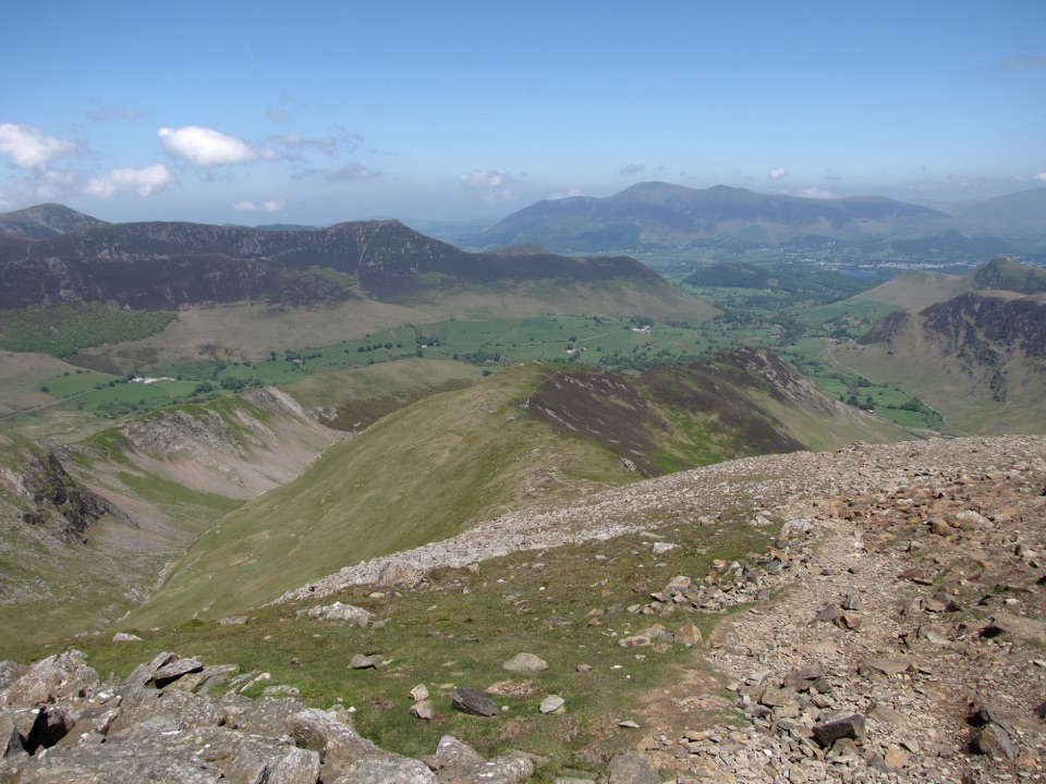
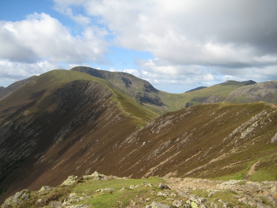
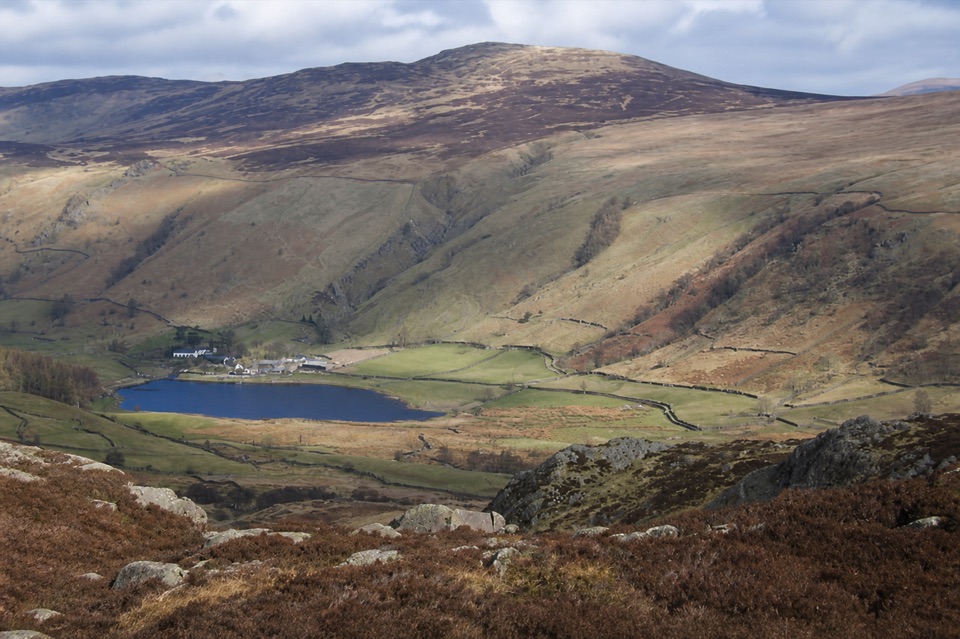
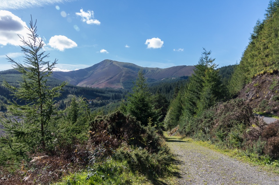
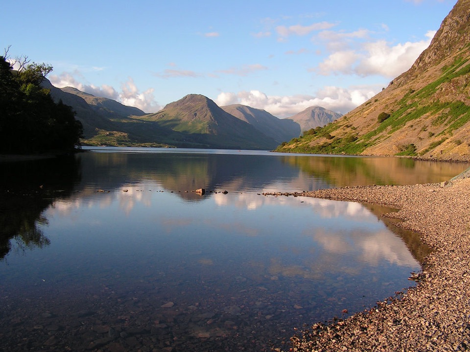
Cat Bells is a 451 m fell above the western shore of Derwentwater, and one of the Lake District's most rewarding short climbs. The appeal is the combination of a manageable outing and a genuinely open mountain panorama, not a single waterfall or built attraction.
Parkwolf’s verdictWhy stop

Map

Where it is

Loading the Lake District map
Full map
SightCat Bells54.56835, -3.17066
Keep this map with you offline in the Parkwolf app

Plan your stop

Before you go

Best time to go

From the ridge and summit, look over Derwentwater, Borrowdale, Skiddaw, Newlands Valley, and the Western Fells. Cat Bells is exposed, so wind, cloud, and wet rock can change the feel of the walk quickly. A clear, calm day matters more than the season. Start early on weekends and holidays for a quieter path and softer light; in winter, allow extra daylight margin and expect muddy or icy sections.


Getting there

Parking at Cat Bells is extremely limited and the surrounding lanes are narrow. The sensible plan is to leave the car in Keswick and take the Keswick Launch to Hawse End or a seasonal bus to the trailhead. Do not park on double yellow lines or block access for emergency vehicles.

8 active Lake District alerts

  • ClosureChapel Stile footpath closed for retaining-wall riskPart of Footpath 543030 between Chapel Stile and Baysbrown campsite is closed because a retaining wall beside the path could collapse and material it supports could fall across the footpath.Official details
  • ClosureStanley Ghyll Lower Falls footpath closed for rockfallThe section of Footpath 408037 leading towards Stanley Ghyll Lower Falls is closed because severe rockfall damage has made the path unstable and further rockfall remains a danger.Official details
See all 8 alerts
A park ranger sits on a dash-mounted phone, talking, as Parkwolf’s Tour Guide plays “Army Cutworm Moths: A Grizzly Bear Buffet” on Grand Loop Road below Dunraven Pass in Yellowstone
Parkwolf Tour GuideThe highest, rockiest slopes around here are a summer buffet for grizzly bears.

Lake District Tour Guide

Your drive to Cat Bells, narrated.

Parkwolf is a GPS audio tour guide for Lake District National Park. As you drive, it chimes in with what’s ahead: hidden gems, upcoming stops, history, geology, and wildlife, right through your car’s speakers.

Recorded for this place

Cat Bells: Ridge and Lakeshore Loop
0:00 / 1:05
“You're approaching the starting point for Cat Bells at Hawse End, where a three-hour walk gives you wide views over Derwentwater and the surrounding fells.”

Plays as you drive up to Cat Bells in the Parkwolf Lake District Tour Guide.

More stories near here in the app

  • Little Town: The Newlands Horseshoe
  • Causey Pike: Scramble and Ridge Loop
  • Lodore Falls: The Lower Viewpoint
  • Borrowdale: Graphite Under Guard
  • 298 audio storiesacross Lake District’s roads, triggered by GPS as you drive
  • Wildlife heatmapsfor Red Deer, Eurasian Otter, Osprey, and 13 more
  • Works offlinemaps, 265 trails, 89 places, and audio download before you lose signal
  • CarPlay readysimple controls built for the drive
★★★★★
“Fantastic app with many points of information… It’s great to just turn on while you’re driving and it gives you an audio tour of the national Park. We love it!!!!”
JMJamesApp Store review
Download Parkwolf on the App StoreGet Parkwolf on Google Play

4.7 from 8,600+ ratings

Guide

More about Cat Bells

The walkThe classic approach from Hawse End is about 3.5 miles (5.

The classic approach from Hawse End is about 3.5 miles (5.7 km) and usually takes around three hours with stops. It is a moderate walk with a short steep section and some minor scrambling. Expect false summits, a rocky ridge, and a bare summit dome where you may need your hands briefly. The route feels more like a proper fell walk than its modest height suggests.

Bring and look after the fellTreat this as an open fell walk: bring sturdy footwear, water, food, a waterproof and windproof…

Treat this as an open fell walk: bring sturdy footwear, water, food, a waterproof and windproof layer, and an offline map. Keep to the main path up the nose of the ridge where possible, since shortcuts are contributing to erosion. There are no dependable facilities on the summit, so plan to carry what you need.

Wildlife

Wildlife in Lake District

All Lake District wildlife maps

Sighting maps show where each species has been reported across Lake District. Wildlife moves, so no sighting is guaranteed.

Keep exploring

Near Cat Bells

See it all on the map

Trails nearby

More stops nearby

Parkwolf’s Lake District ranking

Top sights in Lake District

All 89 places
  1. 1WindermereSight
  2. 2Scafell PikeSight
  3. 3UllswaterSight
  4. 4DerwentwaterSight
  5. 5Wast WaterSight
  6. 6Aira ForceSight

Take Parkwolf to Lake District.

The audio tour guide for the drive, plus offline maps, trails, and wildlife heatmaps for when the signal drops.

4.7 from 8,600+ ratings

Download Parkwolf on the App StoreGet Parkwolf on Google Play