Parking
There is no car park at Hawes End Jetty. Most visitors park in Keswick and take a lake launch to the jetty. A small lay-by at Gutherscale (CA12 5UE) is about a 15-minute walk from the start.
Lake District National Park, EN
A gentle lake loop with jetties, woodland, and a giant carved hand
Overview
Map & elevation
Plan your hike

The highest, rockiest slopes around here are a summer buffet for grizzly bears.
Lake District Tour Guide
Parkwolf is a GPS audio tour guide for Lake District National Park. As you drive, it chimes in with what’s ahead: hidden gems, upcoming stops, history, geology, and wildlife, right through your car’s speakers.
Recorded for this trailhead
Derwentwater and Friar’s Crag“Up ahead is Keswick's lakeshore on Derwentwater, where a short walk gives you a view down the lake into Borrowdale.”
Plays as you drive up to this trailhead in the Parkwolf Lake District Tour Guide.
More stories near here in the app
“Fantastic app with many points of information… It’s great to just turn on while you’re driving and it gives you an audio tour of the national Park. We love it!!!!”


Trail guide
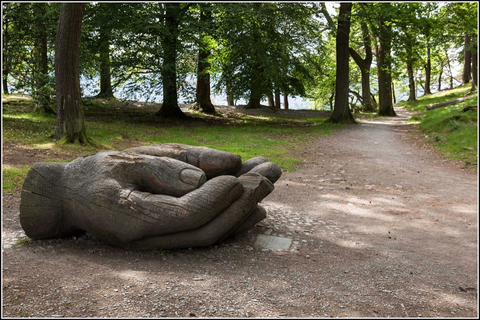
This is a 2.4-mile (about 3.9 km) circular walk, with the distance covering the complete loop from Hawes End Jetty and back, including the short jetty approach. From the jetty, follow the broad track south through Brandelhow's parkland to Low Brandelhow, then stay by the lake past the Cupped Hands sculpture to High Brandelhow. Turn sharply onto the higher woodland track and return past the Douglas firs, stone barn, and Hawes End Adventure Centre.
This is easy by Lake District standards: low-level, mostly even ground with gentle inclines and no summit climb. The lakeshore and woodland return are less polished than the opening track, with roots, rocks, narrow rough ground, and patches that can become muddy. The quiet side of Derwent Water is the main draw, with jetties, wooded shore, views across to the fells, and a genuine sense of place around Brandelhow, the National Trust's birthplace in the Lake District. Look for kingfishers, woodpeckers, nuthatches, roe deer, red squirrels, and autumn fungi without treating wildlife sightings as guaranteed.
Early or late daylight gives the lake and shore softer light, while the woodland keeps parts of the route shaded. If you want a shorter, more immediately scenic lakeside outing, Friar's Crag from Keswick is the simpler choice; this loop is quieter and more wooded.
The full loop starts and finishes at Hawes End Jetty. Dogs are welcome under close control, especially around livestock during lambing season. The lower section through the first part of the walk is wheelchair-accessible on a wide, fairly flat compact-earth track, but the complete loop is not fully accessible because the later shoreline and upper woodland sections are rougher.
Wildlife
 81 sightingsRed DeerMost seen around 7 PMSighting map
 13 sightingsEurasian OtterMost seen around 6 AMSighting map
 76 sightingsOspreyMost seen around 8 AMSighting map
 51 sightingsEuropean BadgerMost seen around 8 PMSighting map
 233 sightingsMute SwanMost seen around 6 PMSighting map
 176 sightingsGrey HeronMost seen around 7 AMSighting map
Sighting maps show where each species has been reported across Lake District. Wildlife moves, so no sighting is guaranteed.
Keep exploring
 ModerateCatbells6.6 km · 3 hr · 0.4 km awayShort steep ridge to big Derwent Water views, quiet lakeshore return
 ChallengingCatbells, Maiden Moor and High Spy16.7 km · 5.5 hr · 1.5 km awayBoat-in fell loop: three summits high above Derwent Water
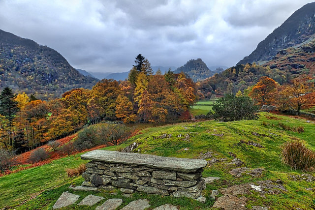 EasyPeace How Walk from High Brandelhow Jetty6 km · 2 hr · 1.5 km awayA quiet lakeshore walk to a slate bench above Derwentwater
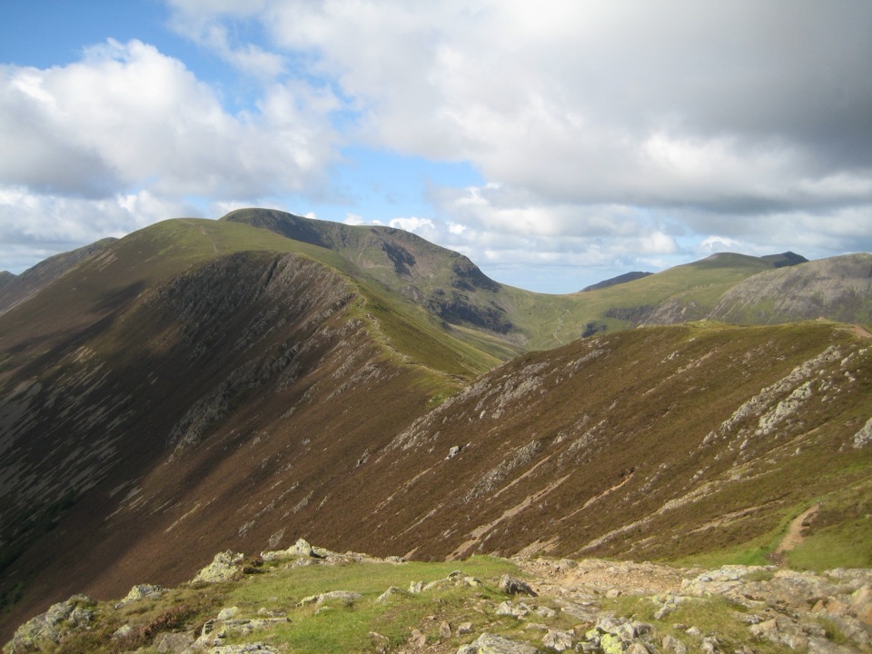 ChallengingCausey Pike and Scar Crags Circular8.2 km · 3.3 hr · 1.9 km awayA rocky ridge scramble with big Newlands and Coledale views
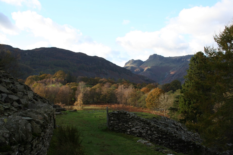 Challenging13 Valleys Trail182.7 km · 2.7 days · 2 km awayA huge circuit of lakes, high passes, and all 13 valleys
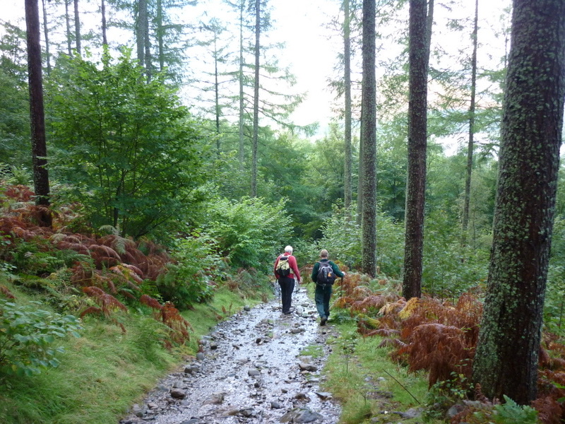 ModerateGreat Wood Walk2.7 km · 1.3 hr · 2 km awayA short wooded loop with Derwentwater views below Walla Crag
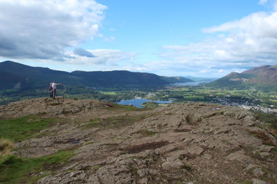 ModerateWalla Crag to Ashness Bridge Walk7.2 km · 2.5 hr · 2.1 km awayRocky crag views over Derwent Water, then down to Ashness Bridge
 EasyFriar's Crag1.2 km · 30 min · 2.1 km awayAn easy lakeside stroll to Keswick's signature Derwentwater outlook
 Sight · 0.9 km awayDerwentwaterA mountain lake with islands, wooded shores, and classic fell viewsSight · 1.5 km awayFriar's CragA level lakeside path to Keswick's classic Derwentwater viewSight · 1.6 km awayCat BellsA short rocky climb to a huge Derwentwater panorama
 Sight · 2.5 km awayAshness BridgeAn 18th-century packhorse bridge above a rushing Borrowdale beck
 Sight · 2.6 km awayKeswickA lively market town framed by Derwentwater and mountain walks
 Sight · 2.8 km awaySurprise ViewA cliff-edge panorama over Derwentwater, islands, and Borrowdale
 Sight · 3 km awayLodore FallsA wooded ravine where Watendlath Beck tumbles toward Derwentwater
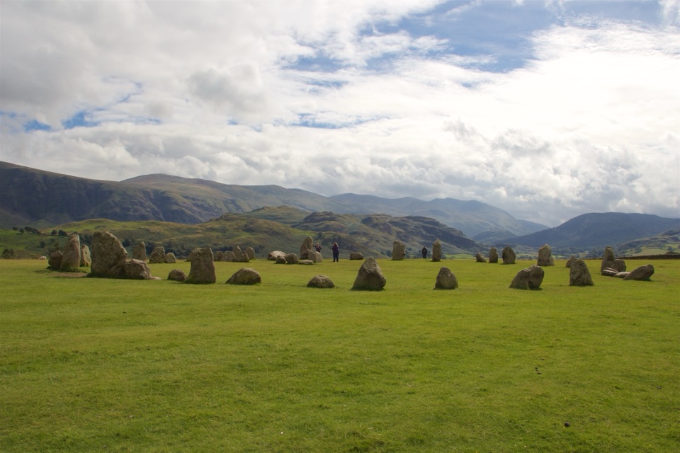 Sight · 4.7 km awayCastlerigg Stone CircleA 4,500-year-old stone ring with a grand mountain backdrop
Parkwolf’s Lake District ranking

The audio tour guide for the drive, plus offline maps, trails, and wildlife heatmaps for when the signal drops.




