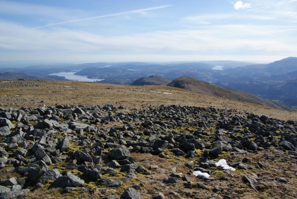
Parking
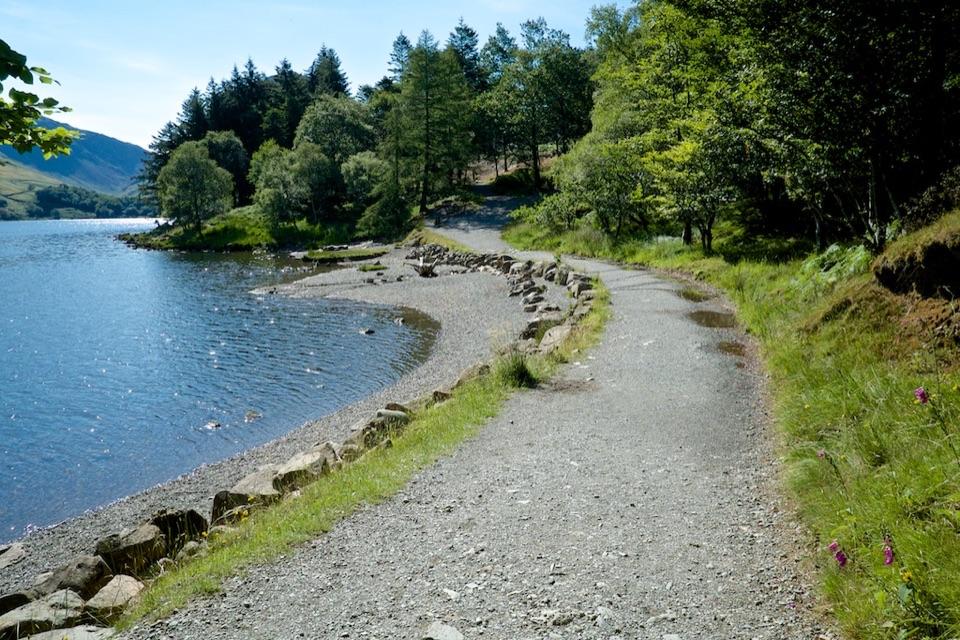
Start at the small Chapel Bridge parking area near Little Town, southwest of Keswick. Spaces are limited; keep the narrow lanes and farm access clear.
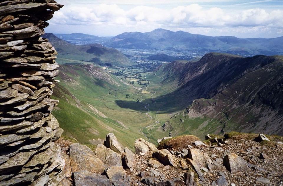
#25 of 265 trails in Lake District
Lake District National Park, EN
Six fell summits and big valley views on a demanding classic
Photo: Mick Knapton, CC BY-SA 3.0
Overview
Map & elevation
Plan your hike

The highest, rockiest slopes around here are a summer buffet for grizzly bears.
Lake District Tour Guide
Parkwolf is a GPS audio tour guide for Lake District National Park. As you drive, it chimes in with what’s ahead: hidden gems, upcoming stops, history, geology, and wildlife, right through your car’s speakers.
See the Lake District audio tourRecorded for this trailhead
Little Town: The Newlands Horseshoe“You're nearing Little Town and the Chapel Bridge start for the Newlands Horseshoe.”
Plays as you drive up to this trailhead in the Parkwolf Lake District Tour Guide.
More stories near here in the app
“Fantastic app with many points of information… It’s great to just turn on while you’re driving and it gives you an audio tour of the national Park. We love it!!!!”


Trail guide
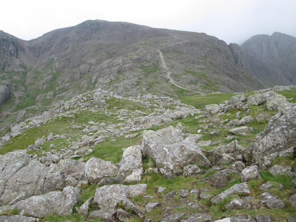
The Newlands Horseshoe is a high fell circuit around the valley, linking Cat Bells, Maiden Moor, High Spy, Dale Head, Hindscarth and Robinson. This version starts near Little Town and covers about 11.4 miles, including a short out-and-back to Hindscarth's summit. Allow seven to nine hours with stops. It's a hard day of steep climbs, rough descents and exposed ridge walking, so save it for a day when you can navigate confidently in the conditions.
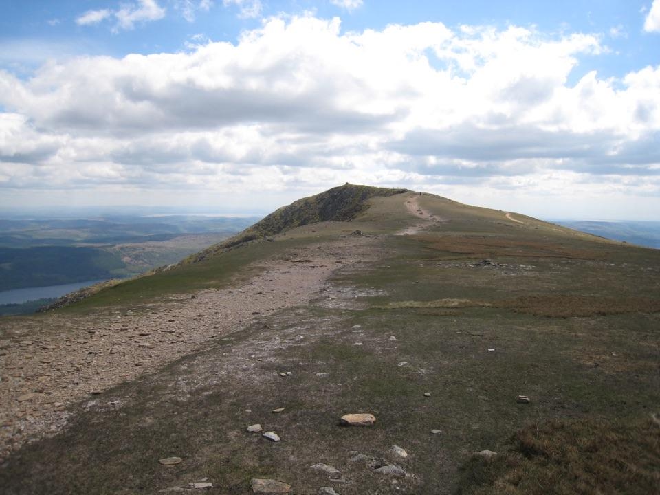
From Chapel Bridge, head north through Little Town and take the path toward Skelgill Bank. The climb onto Cat Bells brings Derwent Water into view; the rocky top is a good place to look back before continuing south. Drop to Hause Gate, then climb onto the broader ridge of Maiden Moor and follow it to High Spy. The ground is rocky in places, and the paths across the wider fell tops need attention in poor visibility.
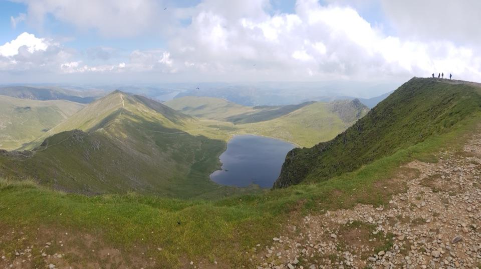
The descent from High Spy to Dalehead Tarn is steep. From the tarn, climb again to Dale Head, the high point of the round, and look down the length of Newlands Valley. Continue along Hindscarth Edge and make the short return trip to Hindscarth's summit before crossing Littledale Edge to Robinson. For a photo from Dale Head, include the valley running away below the summit rather than only the skyline.
From Robinson the route descends the long northern ridge toward High Snab and Chapel Bridge. The rocky ground around Blea Crags can be awkward, especially when wet, and this comes late in the day when legs are tired. The open ridges offer little shelter and cloud can make navigation difficult; carry the means to find your way off the fells.
Spring through autumn usually offers the most practical conditions; winter can bring snow, ice and much shorter daylight to a demanding route. Dogs may use the paths, but this is grazing country, so keep them under close control around livestock and follow local lead restrictions. For a much shorter outing, climb Cat Bells from Hawse End instead; you'll get the Derwent Water view without committing to the whole horseshoe.
Wildlife
 84 sightingsRed DeerMost seen around 7 PMSighting map
 14 sightingsEurasian OtterMost seen around 6 AMSighting map
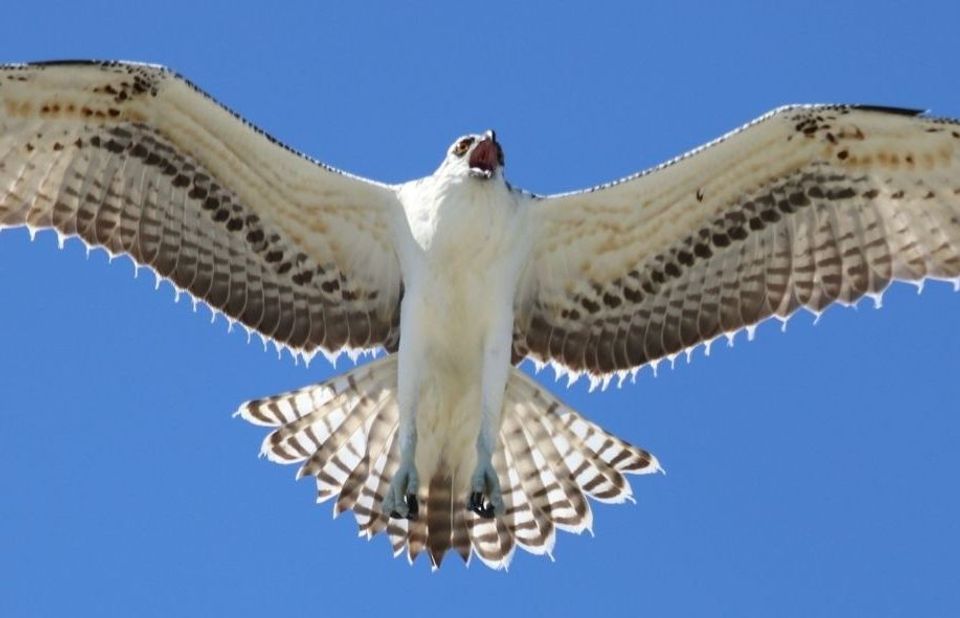 76 sightingsOspreyMost seen around 8 AMSighting map
 53 sightingsEuropean BadgerMost seen around 8 PMSighting map
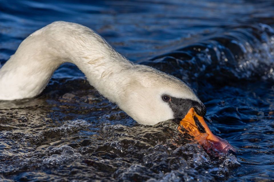 236 sightingsMute SwanMost seen around 6 PMSighting map
 188 sightingsGrey HeronMost seen around 7 AMSighting map
Sighting maps show where each species has been reported across Lake District. Wildlife moves, so no sighting is guaranteed.
Keep exploring
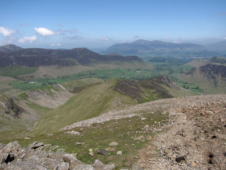 ChallengingRobinson, Hindscarth and Dale Head14.5 km · 5.8 hr · 0.2 km awayThree fell summits on a rugged Newlands valley circuit
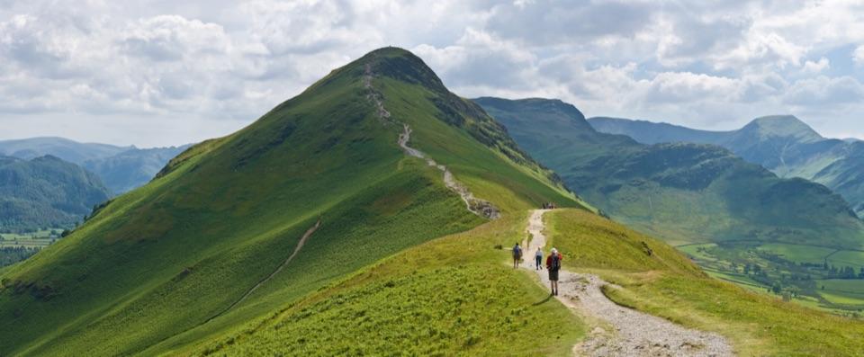 ChallengingCatbells, Maiden Moor and High Spy16.7 km · 5.5 hr · 1.9 km awayBoat-in fell loop: three summits high above Derwent Water
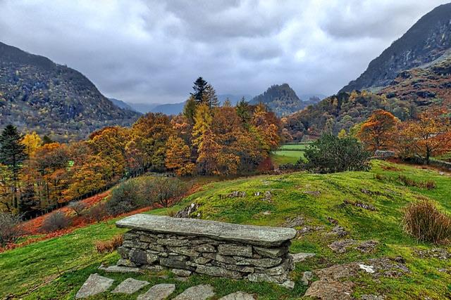 EasyPeace How Walk from High Brandelhow Jetty6 km · 2 hr · 1.9 km awayA quiet lakeshore walk to a slate bench above Derwentwater
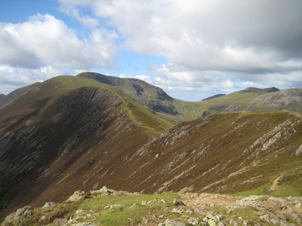 ChallengingCausey Pike and Scar Crags Circular8.2 km · 3.3 hr · 2.3 km awayA rocky ridge scramble with big Newlands and Coledale views
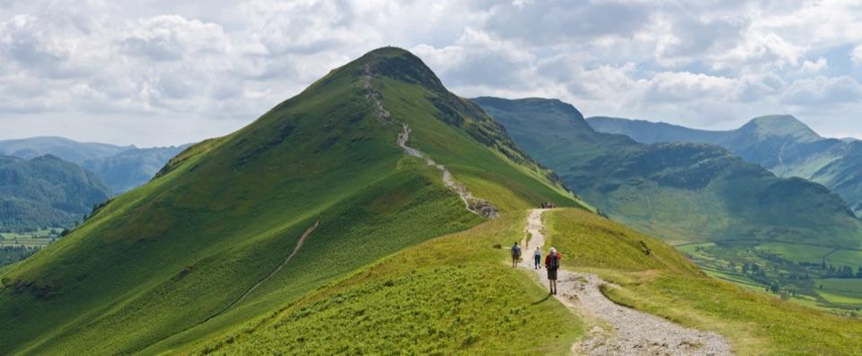 ModerateCatbells6.6 km · 3 hr · 2.3 km awayShort steep ridge to big Derwent Water views, quiet lakeshore return
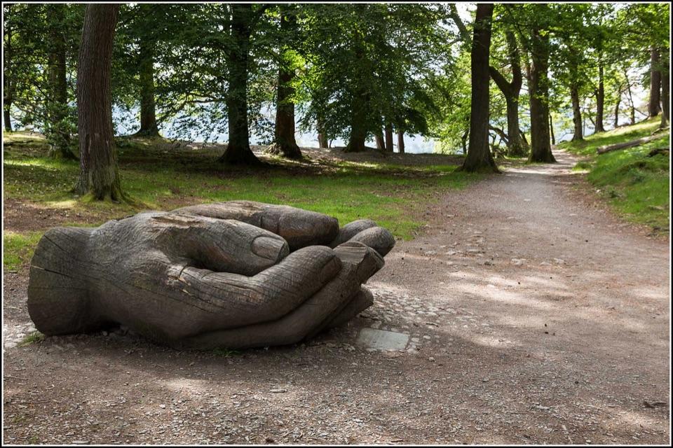 EasyOctavia Hill Walk at Brandelhow Park3.9 km · 1.5 hr · 2.6 km awayA gentle lake loop with jetties, woodland, and a giant carved hand
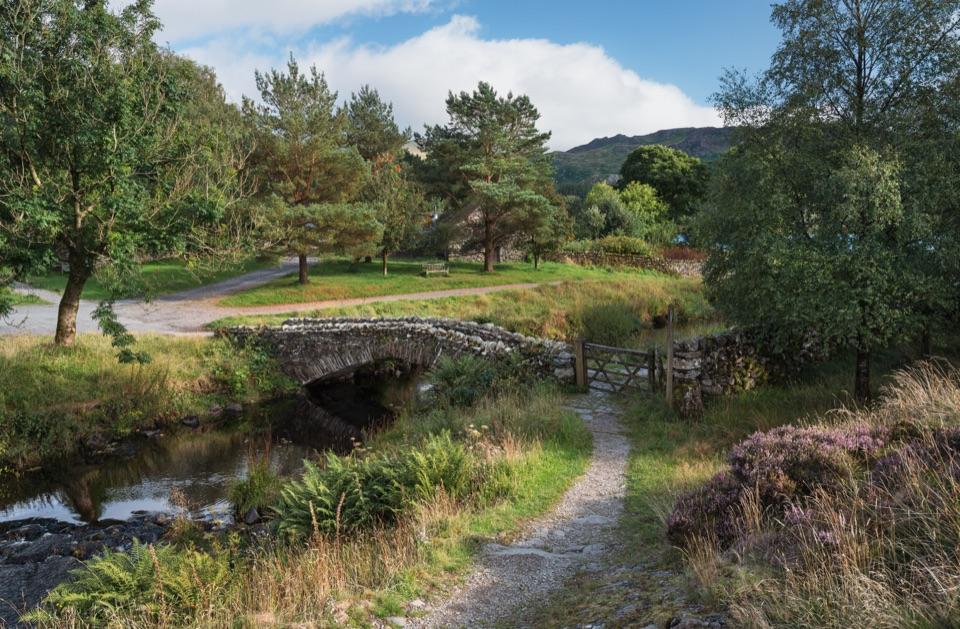 ModerateLodore Falls, Watendlath, Grange Fell and Bowder Stone Circular12.9 km · 4.5 hr · 3.3 km awayWoodland falls, a hidden tarn hamlet, then rough fell and Bowder Stone
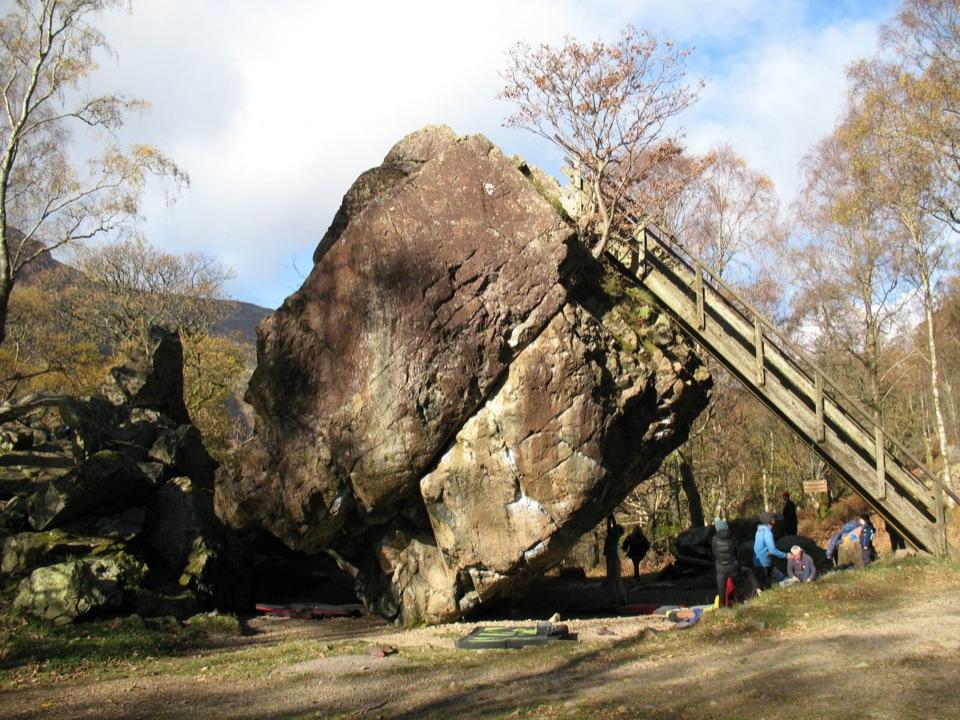 EasyBowder Stone Trail1.1 km · 30 min · 3.3 km awayTen minutes of gravel and woodland to a 30-foot balanced boulderSight · 1.2 km awayCat BellsA short rocky climb to a huge Derwentwater panorama
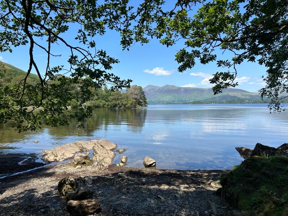 Sight · 3.1 km awayDerwentwaterA mountain lake with islands, wooded shores, and classic fell views
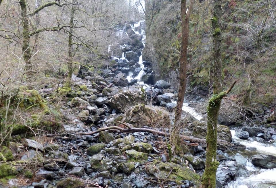 Sight · 3.3 km awayLodore FallsA wooded ravine where Watendlath Beck tumbles toward Derwentwater
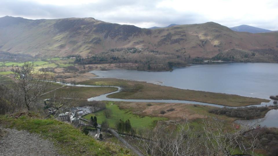 Sight · 3.5 km awaySurprise ViewA cliff-edge panorama over Derwentwater, islands, and Borrowdale
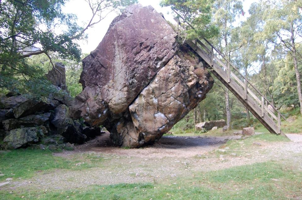 Sight · 3.7 km awayThe Bowder StoneA 2,000-tonne boulder balanced above a woodland path
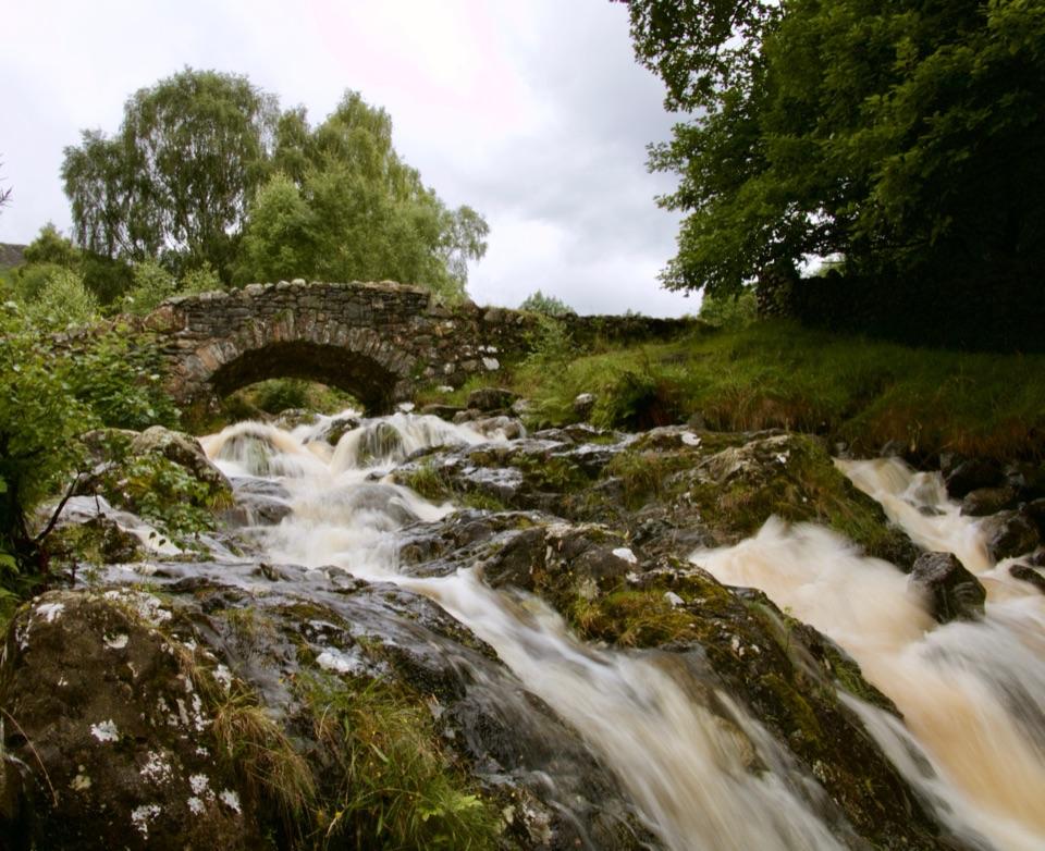 Sight · 3.7 km awayAshness BridgeAn 18th-century packhorse bridge above a rushing Borrowdale beck
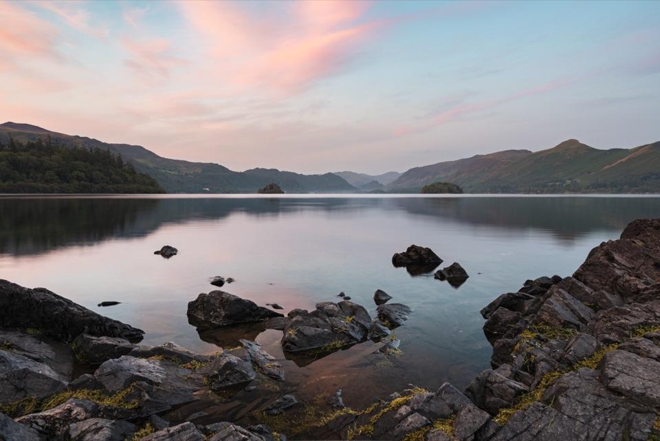 Sight · 4.1 km awayFriar's CragA level lakeside path to Keswick's classic Derwentwater view
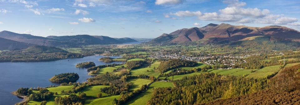 Sight · 5.2 km awayKeswickA lively market town framed by Derwentwater and mountain walks
Parkwolf’s Lake District ranking

The audio tour guide for the drive, plus offline maps, trails, and wildlife heatmaps for when the signal drops.