Parking
There is no parking at High Brandelhow or Peace How. Park in Keswick and take the Keswick Launch to High Brandelhow jetty, the named start of this walk. Do not substitute the nearby park or jetty Maps listings for the trail start.
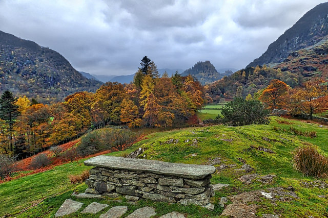
Lake District National Park, EN
A quiet lakeshore walk to a slate bench above Derwentwater
Overview
This is a 3.7-mile out-and-back from High Brandelhow jetty to Peace How and back. The stored distance is the complete return walk; the map shows the physical trail once, about 1.85 miles each way.
Peace How is a small, quiet hill with views north over Derwent Water and south toward Castle Crag. Its slate bench marks a place given to the National Trust in 1917 as a place of peace after the First World War. Reeds and bog myrtle along the wetland section are worth slowing down for because they support insects and birds. The route is most appealing when you want a reflective low-level walk rather than a summit day. For a shorter, more parkland-focused outing, the nearby Octavia Hill walk at Brandelhow is a different option.
 Parkwolf’s verdictThe payoff
Map & elevation
Plan your hike

The highest, rockiest slopes around here are a summer buffet for grizzly bears.
Lake District Tour Guide
Parkwolf is a GPS audio tour guide for Lake District National Park. As you drive, it chimes in with what’s ahead: hidden gems, upcoming stops, history, geology, and wildlife, right through your car’s speakers.
Recorded for this trailhead
Derwentwater and Friar’s Crag“Up ahead is Keswick's lakeshore on Derwentwater, where a short walk gives you a view down the lake into Borrowdale.”
Plays as you drive up to this trailhead in the Parkwolf Lake District Tour Guide.
More stories near here in the app
“Fantastic app with many points of information… It’s great to just turn on while you’re driving and it gives you an audio tour of the national Park. We love it!!!!”


Trail guide
Leave the jetty along the lakeshore, then continue on the track past the houses. At the fingerpost for Lodore, take the left fork and cross the first boardwalk through wetland habitat. A waymark then sends you right onto a grassy field path, through gates and over a narrow plank bridge to the road. Turn left, pass the Borrowdale Gates Hotel, and take the public footpath opposite for the final gradual climb to Peace How's slate bench. Retrace the same route to the jetty.
This is easy by Lake District standards, with mostly level or gently undulating ground and a short, gradual finish. Expect a well-maintained lakeshore path, a broad boardwalk, unsurfaced grass, a short road section, and a narrow final path with one small patch of exposed bedrock. The field, bridge, and uneven sections make the full route unsuitable for wheelchairs and pushchairs despite the accessible boardwalk. Allow about 1¾ to 2½ hours with ordinary stops.
There is no parking at High Brandelhow or Peace How. The practical start is the Keswick Launch to High Brandelhow jetty, and the landing is dependent on lake level and the seasonal boat service. Dogs are welcome, but keep them on leads near livestock. Photograph the bench and the Derwent Water outlook in soft morning or late-afternoon light, when the surrounding fells are less likely to look flat.
Wildlife
 81 sightingsRed DeerMost seen around 7 PMSighting map
 13 sightingsEurasian OtterMost seen around 6 AMSighting map
 76 sightingsOspreyMost seen around 8 AMSighting map
 51 sightingsEuropean BadgerMost seen around 8 PMSighting map
 233 sightingsMute SwanMost seen around 6 PMSighting map
 176 sightingsGrey HeronMost seen around 7 AMSighting map
Sighting maps show where each species has been reported across Lake District. Wildlife moves, so no sighting is guaranteed.
Keep exploring
 ChallengingCatbells, Maiden Moor and High Spy16.7 km · 5.5 hr · At the trailheadBoat-in fell loop: three summits high above Derwent Water
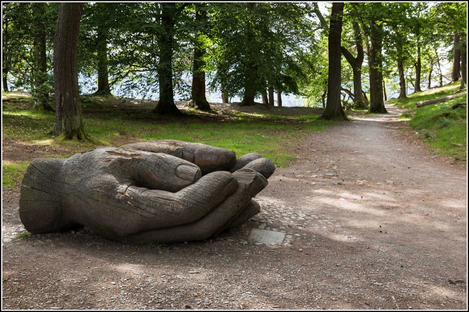 EasyOctavia Hill Walk at Brandelhow Park3.9 km · 1.5 hr · 1.5 km awayA gentle lake loop with jetties, woodland, and a giant carved hand
 ModerateCatbells6.6 km · 3 hr · 1.6 km awayShort steep ridge to big Derwent Water views, quiet lakeshore return
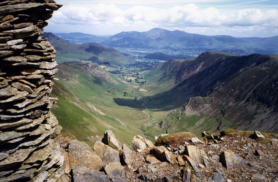 ChallengingNewlands Horseshoe15.1 km · 6 hr · 1.9 km awaySix fell summits and big valley views on a demanding classic
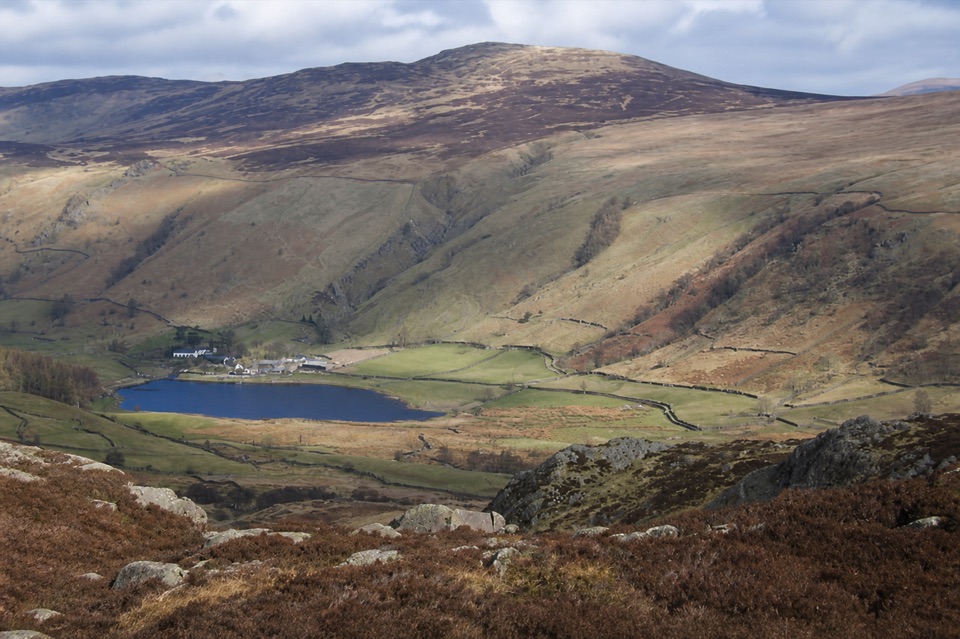 ModerateHigh Seat from Ashness Bridge6.1 km · 2.5 hr · 1.9 km awayA steep, boggy climb to a huge Central Fells panorama
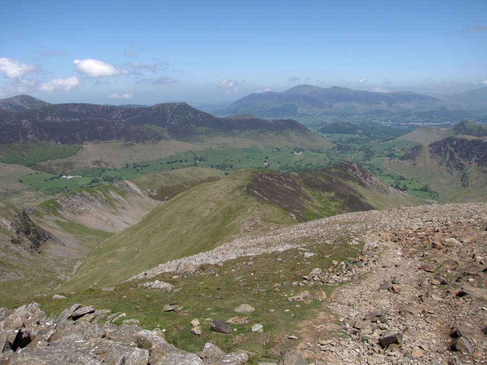 ChallengingRobinson, Hindscarth and Dale Head14.5 km · 5.8 hr · 2.1 km awayThree fell summits on a rugged Newlands valley circuit
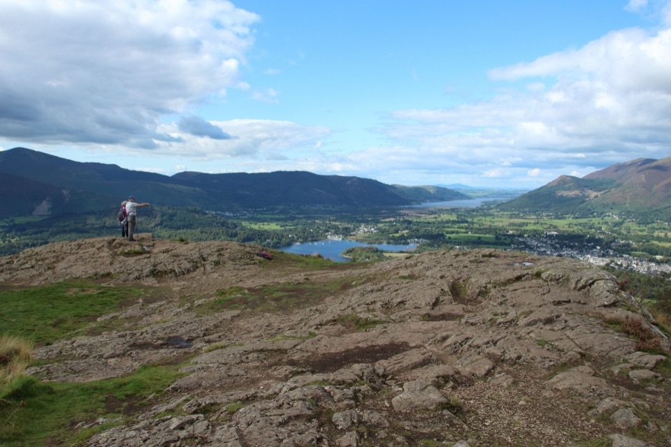 ModerateWalla Crag to Ashness Bridge Walk7.2 km · 2.5 hr · 2.6 km awayRocky crag views over Derwent Water, then down to Ashness Bridge
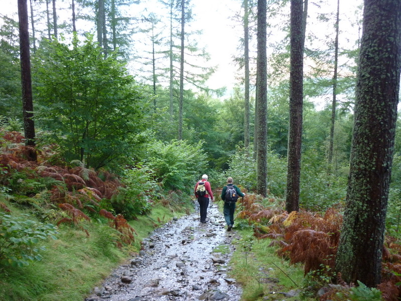 ModerateGreat Wood Walk2.7 km · 1.3 hr · 2.6 km awayA short wooded loop with Derwentwater views below Walla CragSight · 0.8 km awayCat BellsA short rocky climb to a huge Derwentwater panorama
 Sight · 1.5 km awayDerwentwaterA mountain lake with islands, wooded shores, and classic fell views
 Sight · 1.7 km awayLodore FallsA wooded ravine where Watendlath Beck tumbles toward Derwentwater
 Sight · 1.8 km awaySurprise ViewA cliff-edge panorama over Derwentwater, islands, and Borrowdale
 Sight · 1.8 km awayAshness BridgeAn 18th-century packhorse bridge above a rushing Borrowdale beck
 Sight · 2.7 km awayFriar's CragA level lakeside path to Keswick's classic Derwentwater view
 Sight · 3.4 km awayThe Bowder StoneA 2,000-tonne boulder balanced above a woodland path
 Sight · 3.9 km awayKeswickA lively market town framed by Derwentwater and mountain walks
Parkwolf’s Lake District ranking
The audio tour guide for the drive, plus offline maps, trails, and wildlife heatmaps for when the signal drops.




