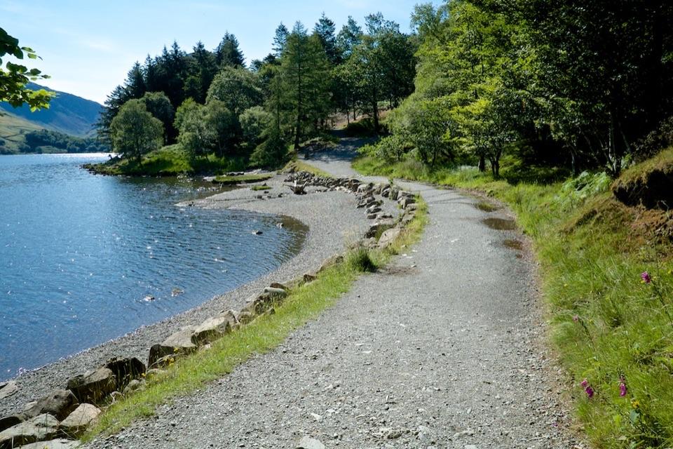
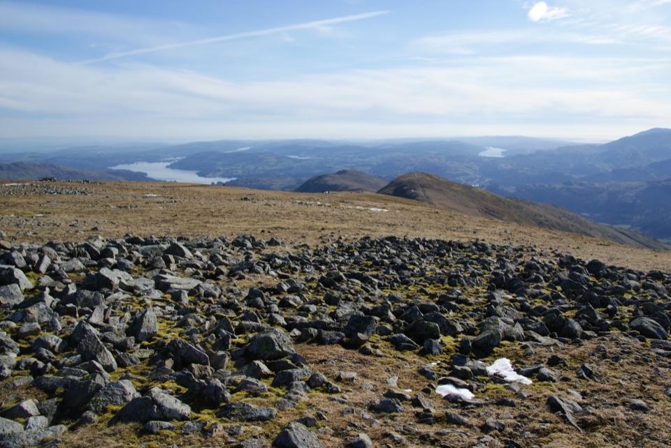
Causey Pike and Scar Crags Circular in Lake District National Park

Lake District National Park, EN

Causey Pike and Scar Crags Circular

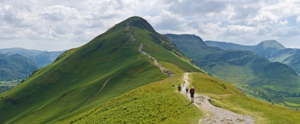
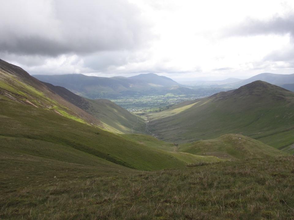
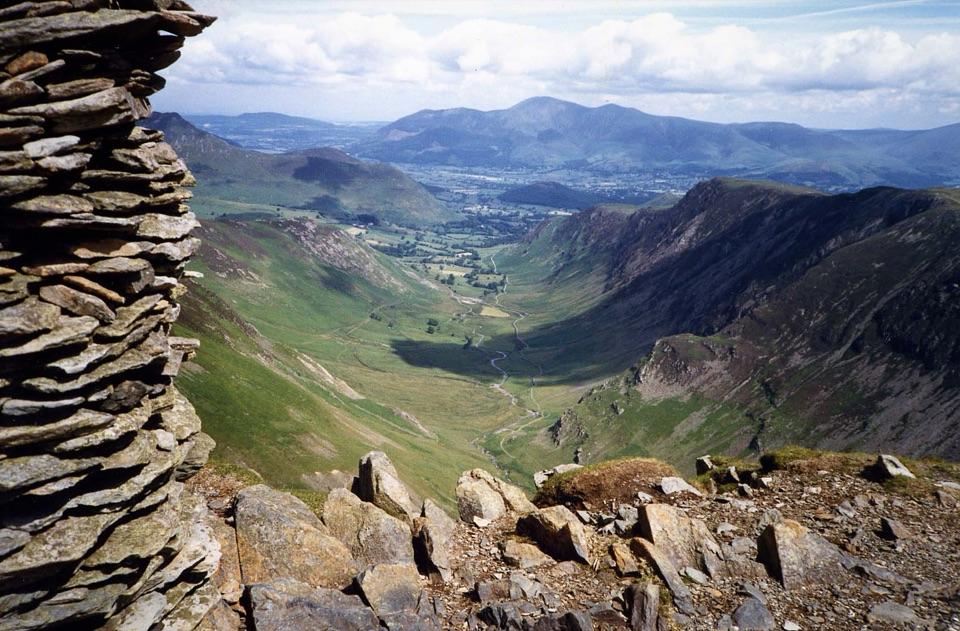
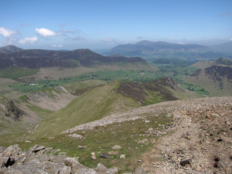
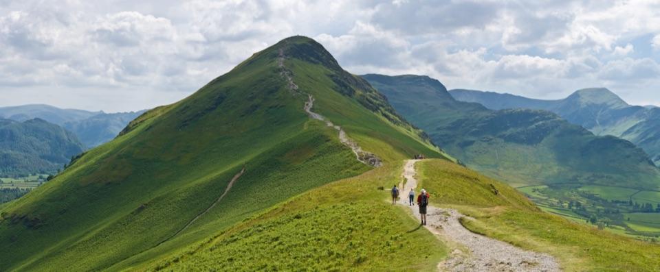
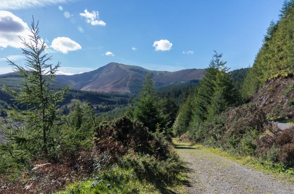
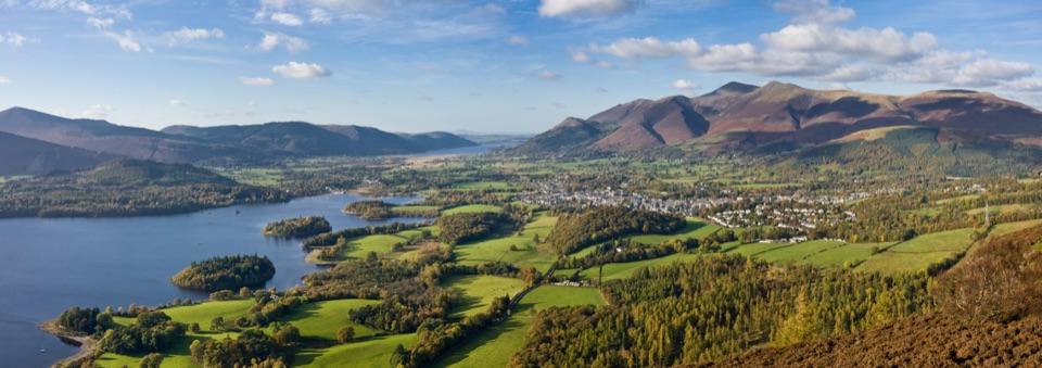
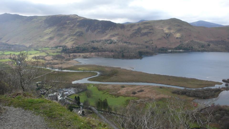
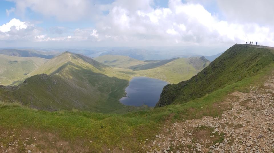
A rocky ridge scramble with big Newlands and Coledale views

Photo: Robert Skipworth, CC BY-SA 2.0

Length
8.2km
Time
3.3hr
Elev. change
502m
Difficulty
Challenging
  • Loop
  • Dogs allowed
  • High point 624 m
  • #98 of 265 in Lake District

Hear the audio tour

Causey Pike: Scramble and Ridge Loop

Overview

About Causey Pike and Scar Crags Circular

Why go

  • Distinctive rocky ridge and summit scramble
  • Wide Newlands and Coledale views
  • A shorter high fell route than the full Coledale Round

Heads up

  • Steep, loose scrambling on the Causey Pike approach
  • Rough, exposed terrain with little margin in poor visibility

Map & elevation

The route

Loading the Lake District map
Full map
Elevation122–624 m
TrailheadInformal parking above Uzzicar Farm54.58495, -3.18855
Keep this map with you offline in the Parkwolf app

Plan your hike

Before you go

Parking

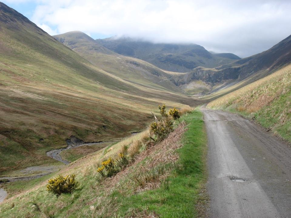
Start at the informal parking area on the Newlands Pass road just above Uzzicar Farm, at the end of the old mine track. This is the access for the loop, not the summit map pins. Park fully off the road and keep farm and emergency access clear.

Best time to go

With roughly 600 metres of climbing, this is a hard hill walk for confident walkers, not a casual viewpoint stroll. Allow about 3 to 4 hours for the loop with normal stops. The best payoff comes from taking time on Rowling End and the ridge rather than rushing the scramble.

Late-summer heather brings the slopes to life. Clear mornings and late-afternoon light are especially good for the ridge, Newlands, and the distinctive profile of Causey Pike. Visibility matters more than season: in mist, the exposed upper ground and open fell make navigation much less forgiving.

Safety

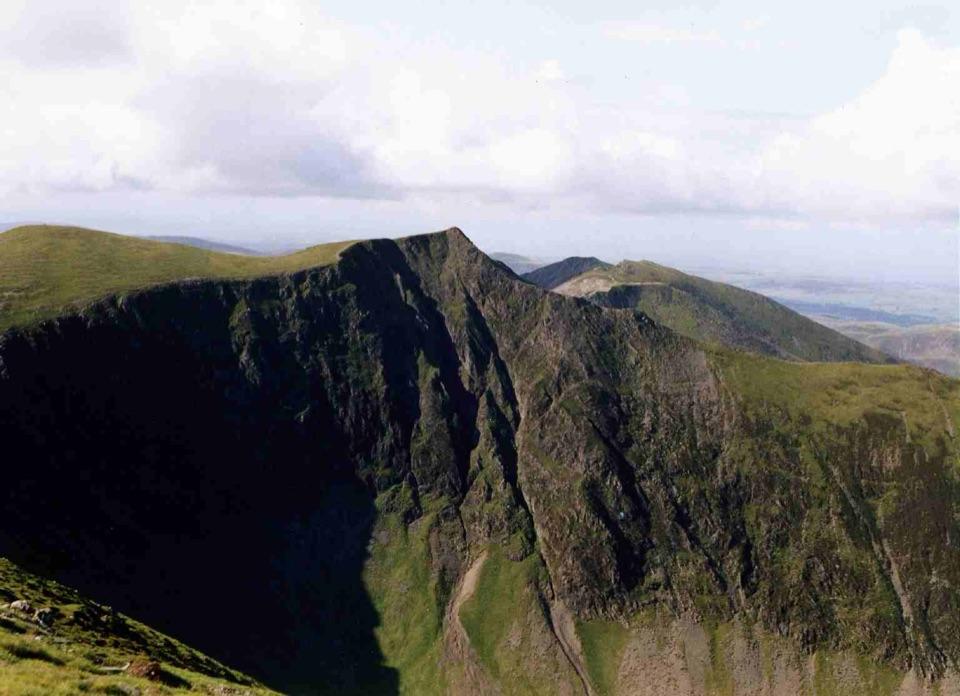
The upper climb to Causey Pike involves steep, loose rock and an ungraded scramble. The ridge is exposed in places, the surface is rough, and mist can make route-finding difficult. Dogs may use the route under the normal access rules, but the scramble and exposure make it unsuitable for many dogs; keep a dog on a lead no more than 2 metres long from 1 March to 31 July and whenever livestock requires it.

8 active Lake District alerts

  • ClosureAnglers’ Crag path closes intermittently for repairsFootpath 407024 and the adjoining unrecorded way over Anglers’ Crag on Ennerdale Water’s southern shore close intermittently for repairs; follow signs to check whether the path is open.Official details
  • ClosureWhinlatter paths close intermittently for forestry workSections of Bridleway 201006 in Thornthwaite Forest and Footpath 201044 at Beckstones Gill close intermittently for forestry thinning; follow signs, as the paths are open when closures are not in…Official details
See all 8 alerts
A park ranger sits on a dash-mounted phone, talking, as Parkwolf’s Tour Guide plays “Army Cutworm Moths: A Grizzly Bear Buffet” on Grand Loop Road below Dunraven Pass in Yellowstone
Parkwolf Tour GuideThe highest, rockiest slopes around here are a summer buffet for grizzly bears.

Lake District Tour Guide

Your drive to Causey Pike and Scar Crags Circular, narrated.

Parkwolf is a GPS audio tour guide for Lake District National Park. As you drive, it chimes in with what’s ahead: hidden gems, upcoming stops, history, geology, and wildlife, right through your car’s speakers.

See the Lake District audio tour

Recorded for this trailhead

Causey Pike: Scramble and Ridge Loop
0:00 / 0:27
“You're nearing the Uzzicar Farm starting area for Causey Pike and Scar Crags. I'd choose this five-mile circuit if you're comfortable with hands-on scrambling and have three to four hours for a mountain walk.”

Plays as you drive up to this trailhead in the Parkwolf Lake District Tour Guide.

More stories near here in the app

  • Cat Bells: Ridge and Lakeshore Loop
  • Braithwaite: Coledale Valley or High Ridges
  • Little Town: The Newlands Horseshoe
  • Noble Knott: Two Short Woodland Loops
  • 298 audio storiesacross Lake District’s roads, triggered by GPS as you drive
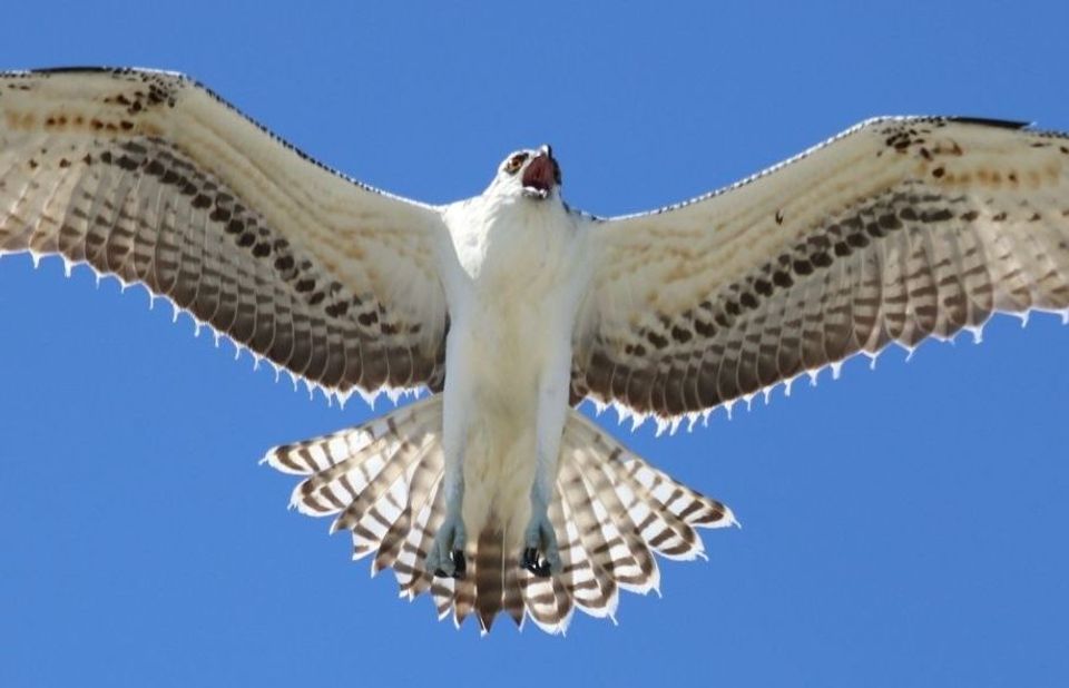
  • Wildlife heatmapsfor Red Deer, Eurasian Otter, Osprey, and 13 more
  • Works offlinemaps, 265 trails, 90 places, and audio download before you lose signal
  • CarPlay readysimple controls built for the drive
★★★★★
“Fantastic app with many points of information… It’s great to just turn on while you’re driving and it gives you an audio tour of the national Park. We love it!!!!”
JMJamesApp Store review
Download Parkwolf on the App StoreGet Parkwolf on Google Play

4.7 from 8,600+ ratings

Trail guide

Hiking Causey Pike and Scar Crags Circular

The routeThis 5.

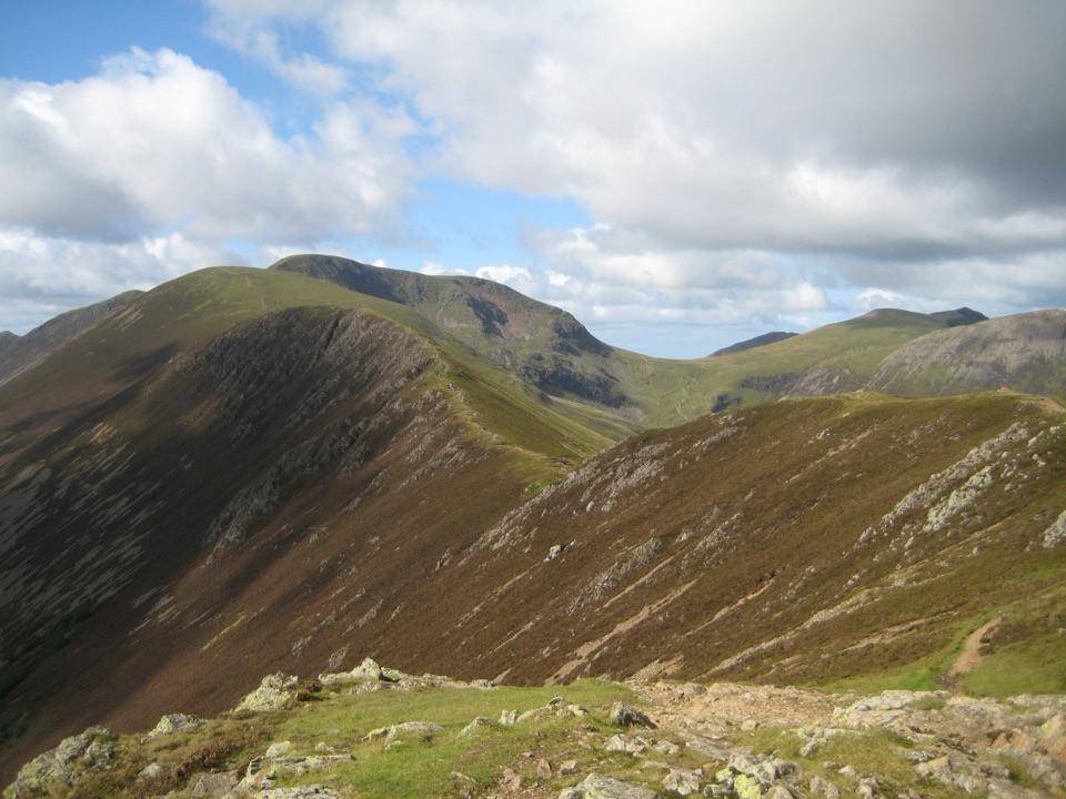
This 5.1-mile circular walk climbs Rowling End to the rocky summit of Causey Pike, follows its knobbly ridge to Scar Crags and returns above Long Comb. Allow 3 to 4 hours for steep fell paths and a hands-on summit scramble. The views over Newlands and Coledale are the payoff, but the climb and exposed ground need confident footing.

What it feels likeThe opening road and track are straightforward, but the route quickly becomes a steep fell path…

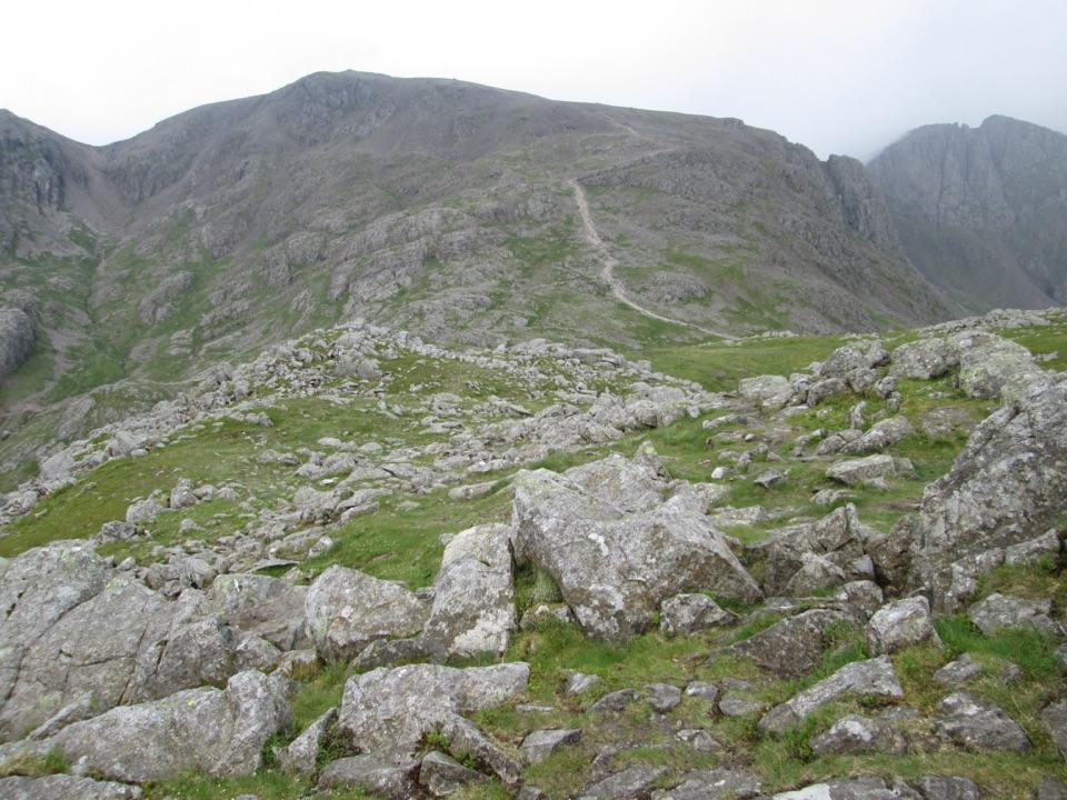
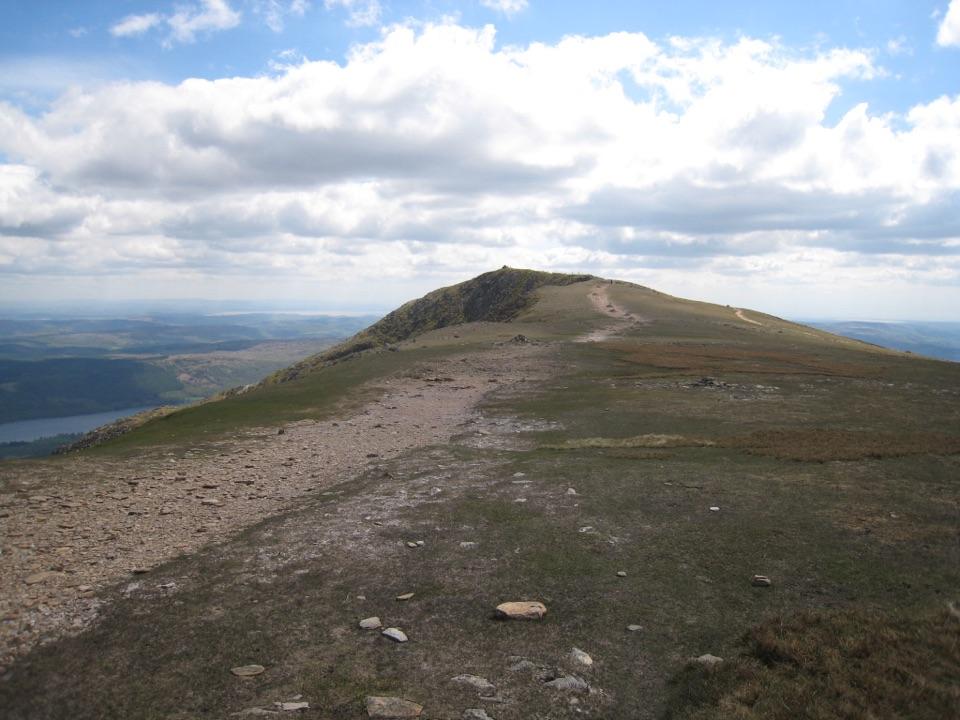
The opening road and track are straightforward, but the route quickly becomes a steep fell path through heather and rock. The final approach to Causey Pike is a hands-on, ungraded scramble, followed by a satisfying ridge walk with wide views into Newlands and Coledale, across Derwent Water, and toward Skiddaw. Expect rough stone, loose steps, uneven ground, and short stretches where the path is less obvious than the skyline suggests.

The return is quieter and more forgiving than the ascent, but it remains a mountain path rather than a smooth descent. The old mine workings and the heather-covered slopes add interest without turning this into a history walk. Nearby Catbells is a shorter, gentler alternative with a more obvious path, though it is usually busier.

Starting out and dogsPark at the informal area above Uzzicar Farm on the Newlands Pass road, keeping the road and…

Park at the informal area above Uzzicar Farm on the Newlands Pass road, keeping the road and access clear. The route starts with a short road walk toward Stoneycroft Gill. Dogs can accompany walkers, but the summit scramble and nearby drops are unsuitable for many dogs. On open access land keep dogs on a short lead from 1 March to 31 July and near livestock.

The old workingsThe return path crosses above Long Comb, where a trial cobalt mine once operated.

The return path crosses above Long Comb, where a trial cobalt mine once operated. Lower down, the Stoneycroft valley also had lead workings and a smelter; the quiet terrace has a long industrial history beneath the heather.

Wildlife

Wildlife in Lake District

All Lake District wildlife maps

Sighting maps show where each species has been reported across Lake District. Wildlife moves, so no sighting is guaranteed.

Keep exploring

Near Causey Pike and Scar Crags Circular

See it all on the map

Trails that start nearby

Places near the trailhead

Parkwolf’s Lake District ranking

Top-rated trails in Lake District

All 265 trails
  1. 1Scafell Pike via Hollow Stones from WasdaleChallenging · 9 km
  2. 2Helvellyn via Striding Edge and Swirral EdgeChallenging · 12.4 km
  3. 3CatbellsModerate · 6.6 km
  4. 4The Old Man of ConistonChallenging · 9 km
  5. 5Buttermere CircularEasy · 7.6 km
  6. 6The Fairfield HorseshoeChallenging · 17.2 km

Take Parkwolf to Lake District.

The audio tour guide for the drive, plus offline maps, trails, and wildlife heatmaps for when the signal drops.

4.7 from 8,600+ ratings

Download Parkwolf on the App StoreGet Parkwolf on Google Play