Parking
Start at Crow Park in Keswick. Use signed public parking in Keswick and walk to the lakefront start, or arrive by public transport. The circular line returns to Keswick, while section walks need separate transport planning at the finish.
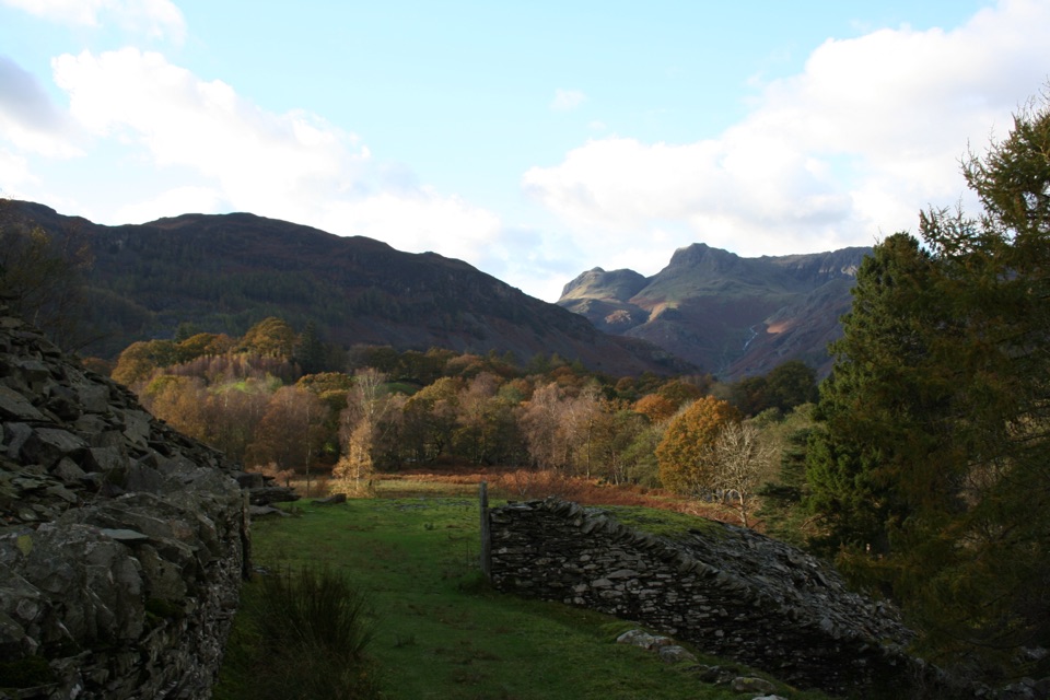
Lake District National Park, EN
A huge circuit of lakes, high passes, and all 13 valleys
Overview
Map & elevation
Plan your hike

The highest, rockiest slopes around here are a summer buffet for grizzly bears.
Lake District Tour Guide
Parkwolf is a GPS audio tour guide for Lake District National Park. As you drive, it chimes in with what’s ahead: hidden gems, upcoming stops, history, geology, and wildlife, right through your car’s speakers.
Recorded for this trailhead
Derwentwater and Friar’s Crag“Up ahead is Keswick's lakeshore on Derwentwater, where a short walk gives you a view down the lake into Borrowdale.”
Plays as you drive up to this trailhead in the Parkwolf Lake District Tour Guide.
More stories near here in the app
“Fantastic app with many points of information… It’s great to just turn on while you’re driving and it gives you an audio tour of the national Park. We love it!!!!”


Trail guide
This is a 113.5-mile (182.6 km) circular route. The distance is the complete circuit from Crow Park in Keswick back to Crow Park, rather than one side of a loop. It links the Lake District's 13 named valleys, including Borrowdale, Buttermere, Wasdale, Eskdale, Langdale, Coniston, Grasmere, Haweswater, Ullswater, Thirlmere, Ennerdale, Duddon, and Windermere. Treat it as a multi-day mountain journey, not a normal day hike.
The broad sequence runs from Keswick and Derwent Water through the Borrowdale and Buttermere country to Honister, Black Sail, and Wasdale, then across Eskdale and Coniston. It continues via Windermere and Wray Castle, Langdale, Borrowdale, Grasmere, and Ambleside before crossing the Kentmere and High Street country to Hayeswater, Glenridding, Sticks Pass, Threlkeld, and Keswick. The appeal is the changing character of every valley, from lakeshore paths and woodland to remote high passes.
Expect steep climbs, rocky and muddy ground, open fell paths, farm tracks, lanes, and occasional tarmac. Several high sections are exposed to wind and cloud, and some parts are not waymarked. Carry a detailed map and a charged navigation device, and know how to navigate when the path fades in mist. The longest days combine substantial ascent with remote terrain and limited easy exits. Allow about 65 hours of walking time, normally divided across several days with planned accommodation, food, and transport between sections.
Start at Crow Park in Keswick. Use signed public parking in Keswick and walk to the lakefront start, or arrive by public transport. The circuit returns to Keswick, but a section walk still needs a plan for buses, taxis, or a second vehicle at the finish. The line follows public rights of way and ordinary access routes, so no single trail permit is normally needed; follow local parking, access, and land-management notices. Dogs may use public rights of way, but keep them under close control and on a lead where livestock or wildlife requires it. There are no dependable facilities between every valley, so carry water, food, spare layers, and a power bank.
Wildlife
 81 sightingsRed DeerMost seen around 7 PMSighting map
 13 sightingsEurasian OtterMost seen around 6 AMSighting map
 76 sightingsOspreyMost seen around 8 AMSighting map
 51 sightingsEuropean BadgerMost seen around 8 PMSighting map
 233 sightingsMute SwanMost seen around 6 PMSighting map
 176 sightingsGrey HeronMost seen around 7 AMSighting map
Sighting maps show where each species has been reported across Lake District. Wildlife moves, so no sighting is guaranteed.
Keep exploring
 EasyFriar's Crag1.2 km · 30 min · At the trailheadAn easy lakeside stroll to Keswick's signature Derwentwater outlook
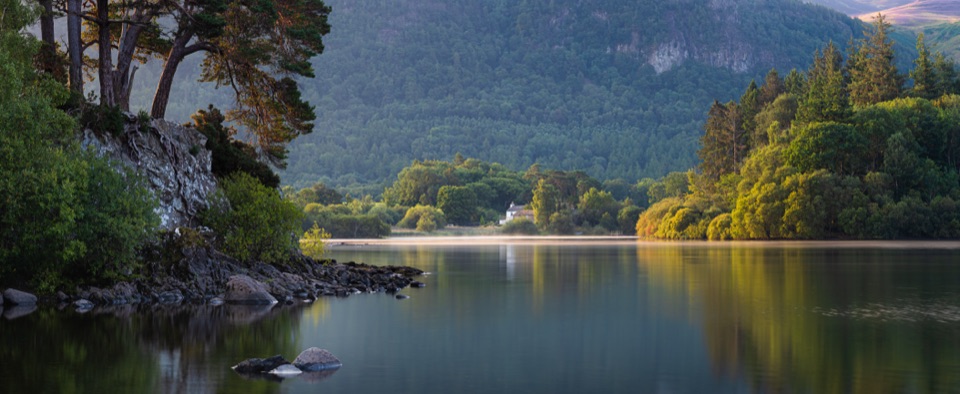 ModerateDerwent Water Circular16.1 km · 5.5 hr · 0.1 km awayTen flat lakeshore miles past jetties, oakwoods and island viewsEasyDerwent Water and Cockshot Wood Accessible Loop2 km · 38 min · 0.1 km awayStile-free lakeshore and woodland loop with Skiddaw and Cat Bells views
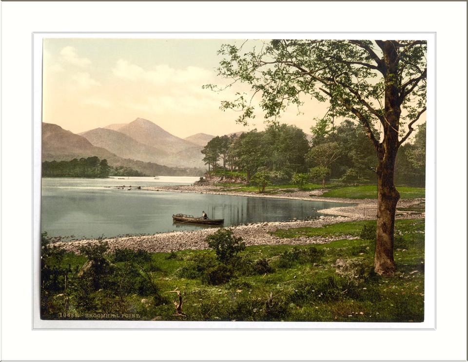 ModerateAccessible Walk to Broomhill Point Viewpoint4.4 km · 1.8 hr · 0.2 km awayDerwent Water views, boardwalks, and a rough final climb
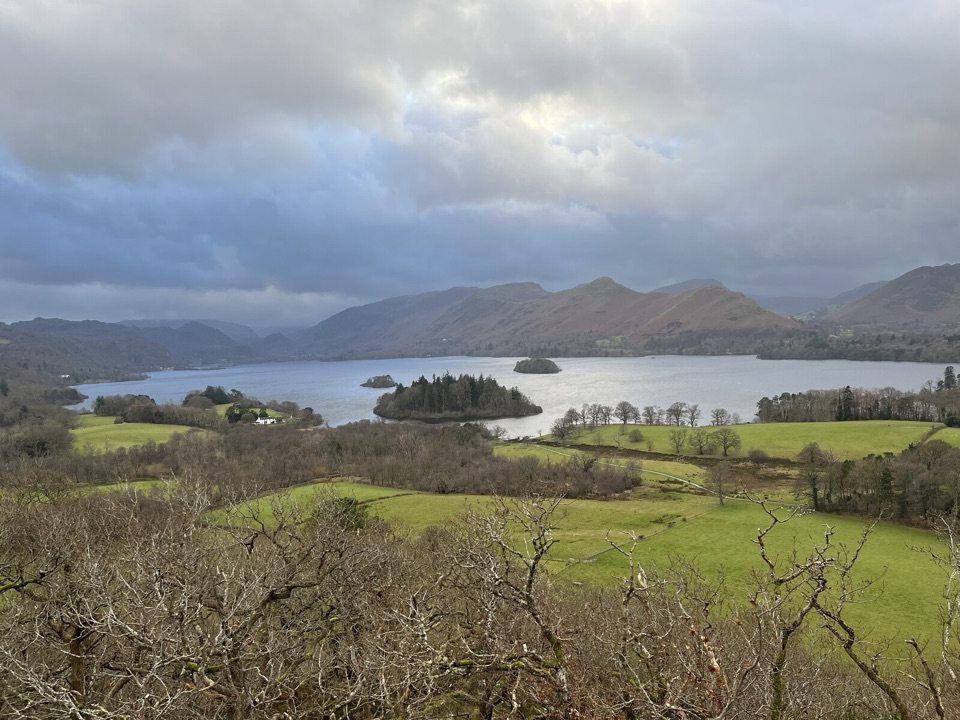 EasyCastle Head Viewpoint Walk4.2 km · 1.3 hr · 0.6 km awaySharp wooded climb to a topograph over Derwentwater, then Friars Crag
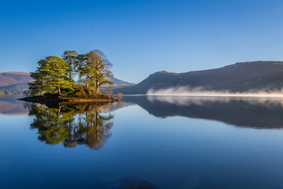 EasyHowrah’s Path, Keswick to Portinscale1.7 km · 1.5 hr · 0.7 km awayLevel riverside link between two villages, with Skiddaw and Catbells views
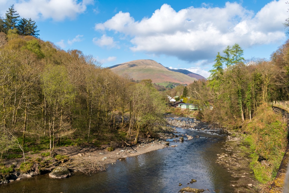 EasyKeswick to Threlkeld Railway Trail5 km · 2.5 hr · 1.1 km awayA gentle old railway line with bridges, river views, and Blencathra.
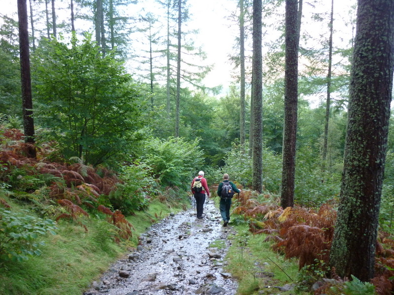 ModerateGreat Wood Walk2.7 km · 1.3 hr · 1.6 km awayA short wooded loop with Derwentwater views below Walla Crag
 Sight · 0.6 km awayKeswickA lively market town framed by Derwentwater and mountain walksSight · 0.6 km awayFriar's CragA level lakeside path to Keswick's classic Derwentwater view
 Sight · 1.9 km awayDerwentwaterA mountain lake with islands, wooded shores, and classic fell views
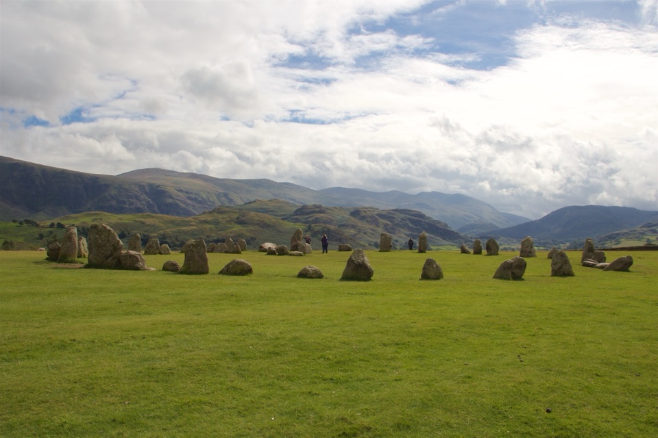 Sight · 2.8 km awayCastlerigg Stone CircleA 4,500-year-old stone ring with a grand mountain backdrop
 Sight · 3.2 km awayAshness BridgeAn 18th-century packhorse bridge above a rushing Borrowdale beck
 Sight · 3.6 km awayCat BellsA short rocky climb to a huge Derwentwater panorama
 Sight · 3.9 km awaySurprise ViewA cliff-edge panorama over Derwentwater, islands, and Borrowdale
 Sight · 4.2 km awayLodore FallsA wooded ravine where Watendlath Beck tumbles toward Derwentwater
Parkwolf’s Lake District ranking

The audio tour guide for the drive, plus offline maps, trails, and wildlife heatmaps for when the signal drops.





